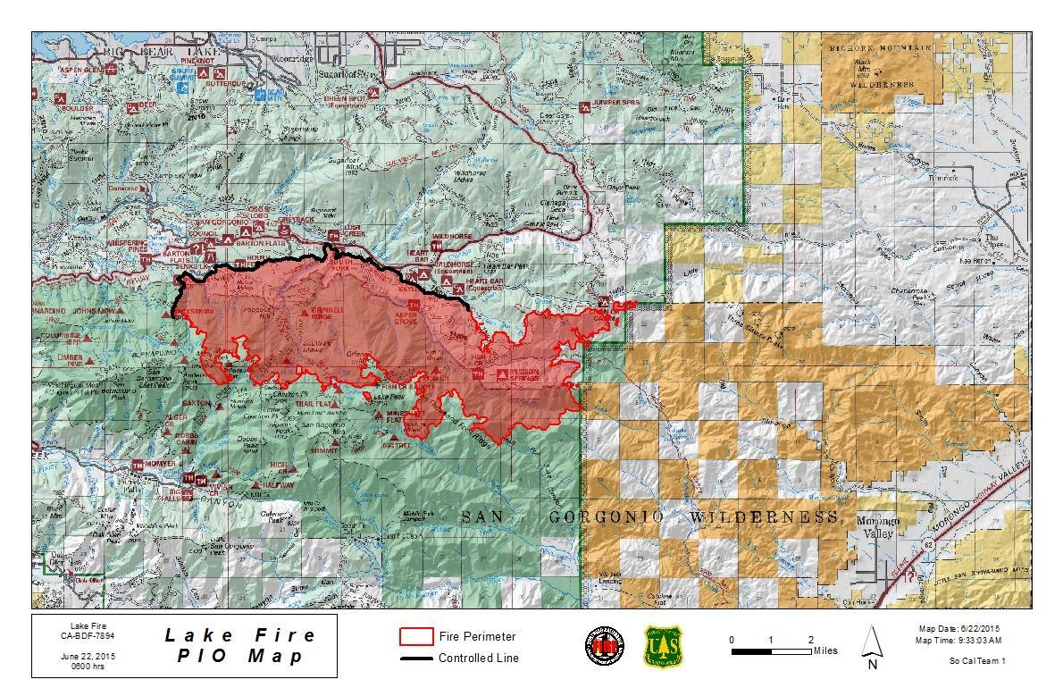
As most of you probably know by now, a major wildfire is now burning in the San Bernardino Mountains. The fire originated near Jenks Lake, on the north flank of Mount San Gorgonio, and was thus named the Lake Fire. The fire has grown rapidly because of the high temperatures and strong winds over the weekend, and as of June 22, 2015 has burned 17,305 acres. At the bottom of this post are some interesting photos I shot yesterday of the smoke plume from a high distant vantage point. Below is a map of The Lake Fire as of 6/22/2015.
The Lake Fire was reported before 4 pm on June 17, 2015. It is currently burning in the Barton Flats area and in the northern portion of the San Gorgonio Wilderness. Highway 38 is closed between Angelus Oaks all the way to Lake Williams. All Hiking Trails into the San Gorgonio Wilderness have been closed because of the proximity of the fire to these trails. As part of these closures, The Pacific Crest Trail (PCT) is closed from Whitewater Preserve to Onyx Summit.
As many hikers may be aware, and as is clear from the map above, the area burning includes a significant portion of one of the most beautiful of all natural areas in Southern California, The San Gorgonio Wilderness. Among the areas burned are two of my favorite places both of which have hike descriptions on this site, lovely South Fork Meadows and the magical Aspen Grove. The destruction seems sad at first, because these areas will be charred for several years, but it’s important to keep in mind that fire is a natural part of the forest life cycle, and that over time it is actually beneficial to the forest as a whole.
The cause of the fire is still under investigation. As mentioned above, it is approximately 17,305 acres in size and burning in timber and brush. The Lake Fire is currently 21% contained. Approximately 500 structures are considered threatened, but no structures are known to be damaged or destroyed as of June 22.
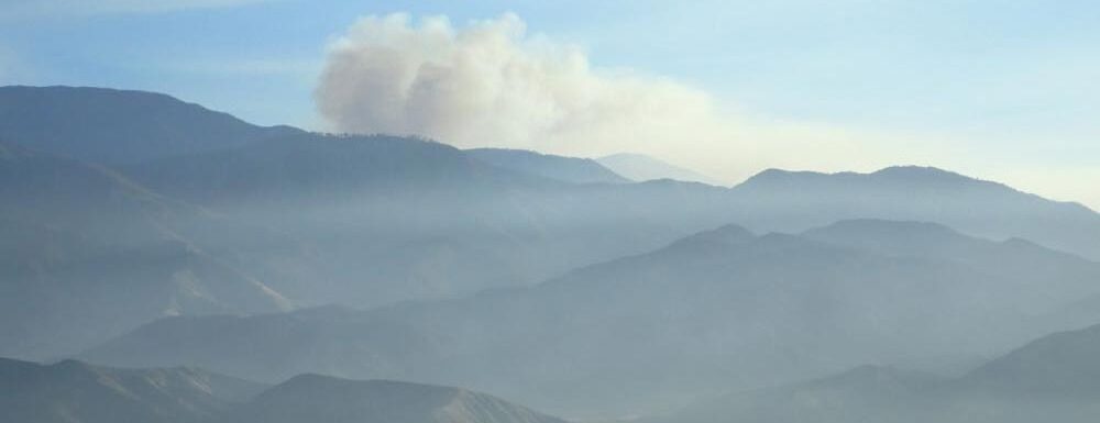
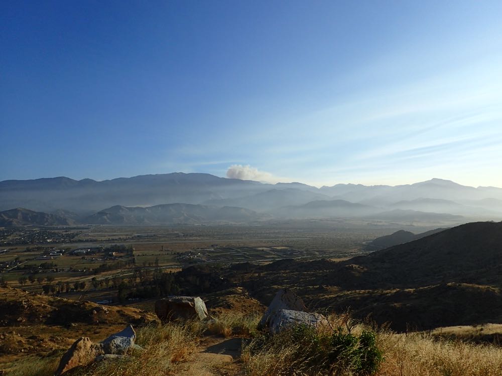
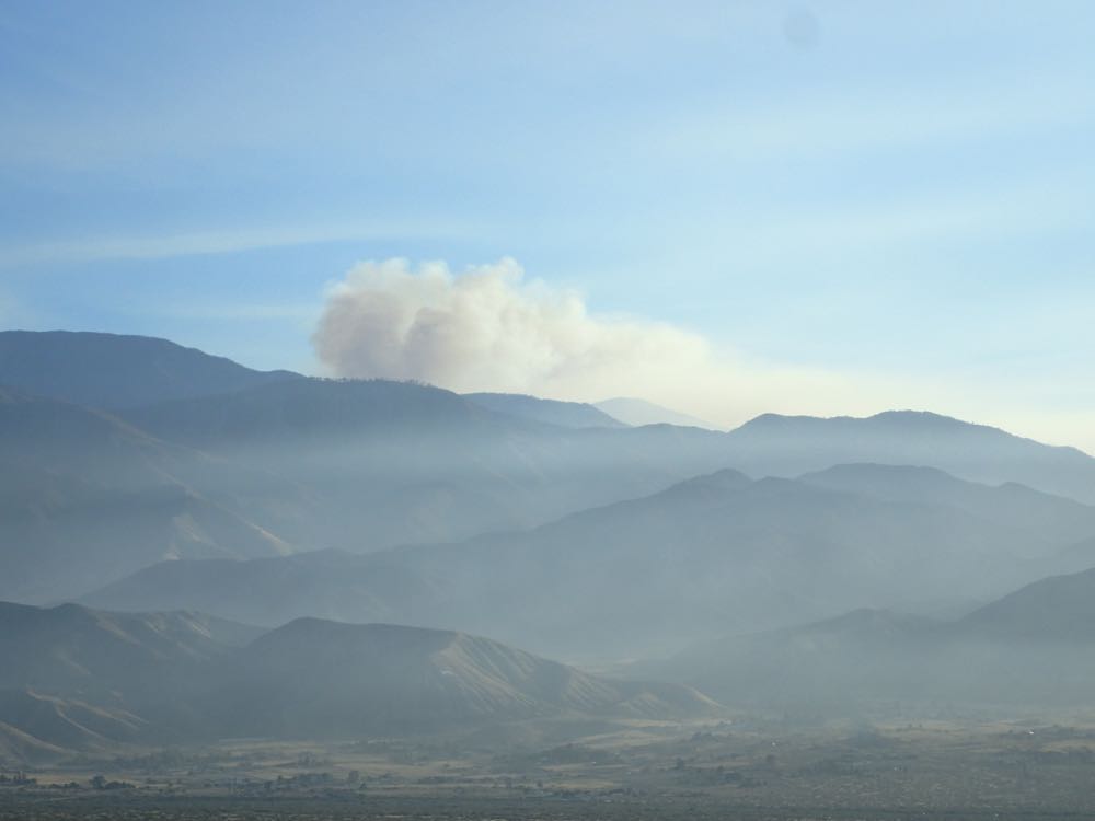
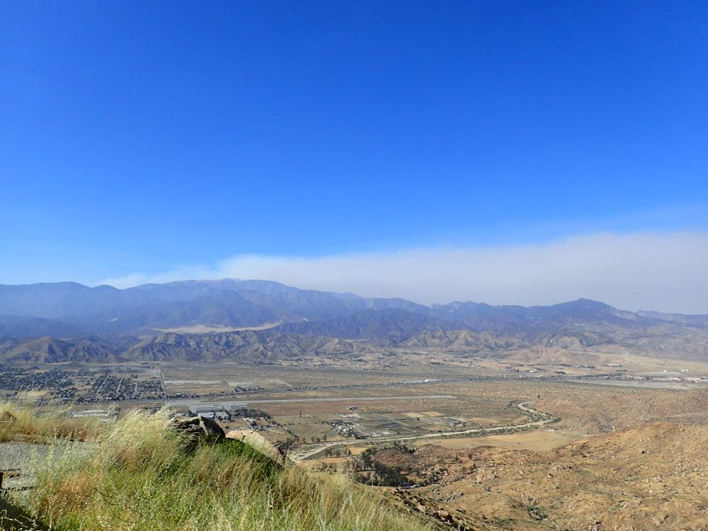
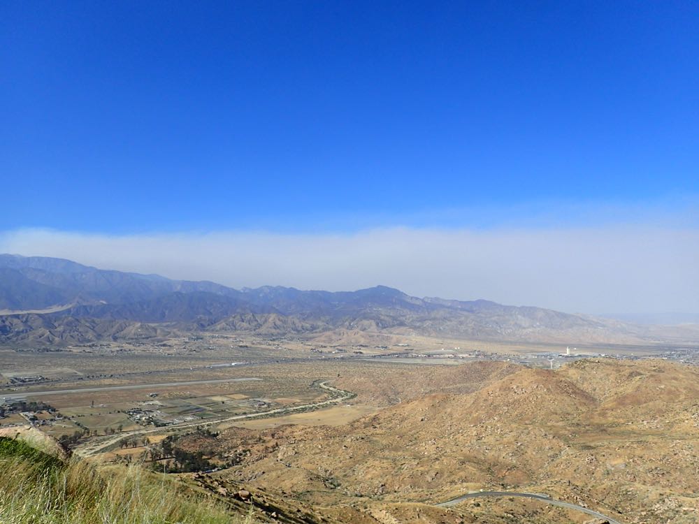
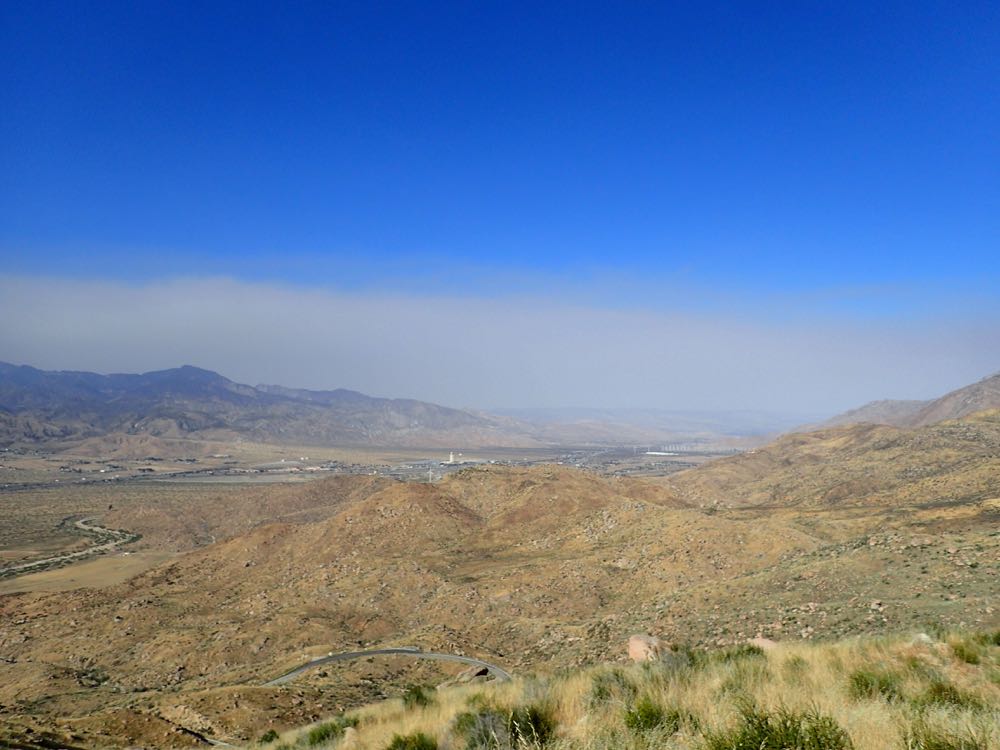
I took the photos below looking to the north from a vantage point on Highway 243 which is on the northern side of the San Jacinto Mountains. The photos were taken approximately 15 miles from the Lake Fire, and clearly show the size of the fire and the intensity of the winds that blew the smoke across such a wide area between the first two photos, taken at 7 AM, and the last three, taken at 4 PM.
The first two photos below were taken at 7 AM. Note that Mount San Gorgonio is 11,500′ tall and the fire is on the opposite side of that peak, which gives you an idea of the massive size of the smoke plume and thus the fire.
The three photos below were taken from approximately the same vantage point as the first two above, but at 4 PM on the same day 6/22/2015. The winds were very high that day, blowing to the east. The three photos below pan progressively to the east, and clearly show the enormous amount of smoke produced by this fire.
The Inciweb Incident Information System has an interactive map and more information on the Lake Fire.

