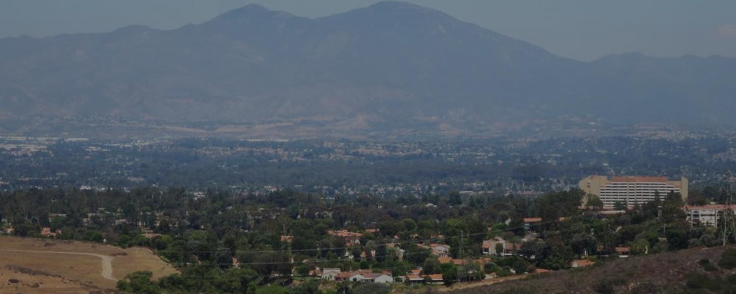
Little Sycamore Canyon Loop Hike
Summary for Little Sycamore Canyon Loop Hike

Difficulty
Moderate
Length
5 Miles
time
2 Hours
Elevation Gain
660′
Summary
Great beginner to intermediate loop trail in Laguna Coast Wilderness Park features a great workout over varied terrain with terrific views in a close and easy to reach yet wild location.
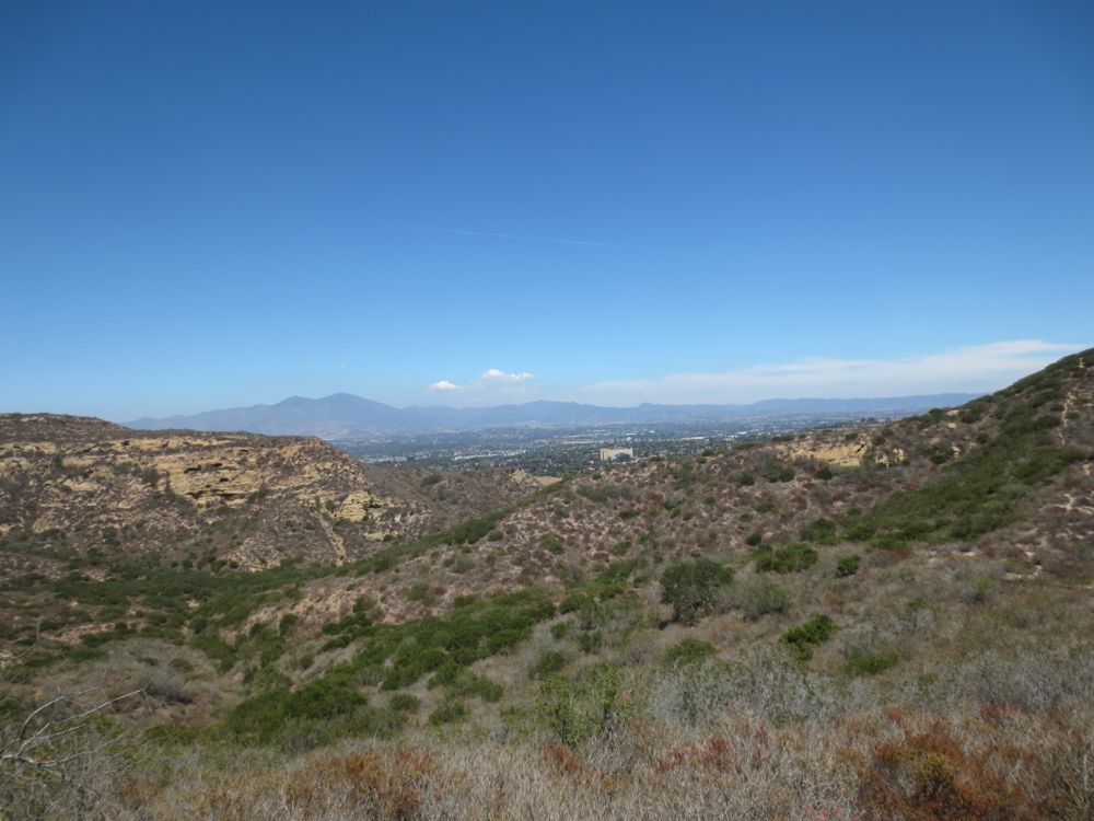
This hike utilizes segments of four different clearly marked trails to form a loop through a variety of terrain in beautiful Laguna Coast Wilderness Park. You will start by heading up the Stagecoach South Trail over a ridge with nice views before descending into Camarillo Canyon, at which point you take the Camarillo Canyon Road through a pleasant oak grove and small seasonal creek up a steep slope to Serrano Ridge Road. You will then traverse along this high ridge with great expansive views on both sides, before your descent into lovely Little Sycamore Canyon and its seasonal creek via the Little Sycamore Trail, which takes you back to your starting point.
The hike is a good choice for well-conditioned beginners and intermediate hikers, and is a good quick conditioning hike with easy access and super views even for advanced hikers. This hike originates at the Nix Nature Center parking lot on the north side of the 73 freeway, and this part of Laguna Coast Wilderness Park is usually less crowded than the more popular – and closer to Laguna Beach – portion on the south side of the 73, but certainly no less beautiful. Parking is $3 and you pay at the self-service kiosk. You can pick up a free park map at this kiosk too, and you may want to go in to the Nix Nature Center as it’s well worth a visit and the rangers are very informative and friendly here.
Directions to Trailhead for Little Sycamore Canyon Loop Hike

Map of Little Sycamore Canyon Loop Hike with Downloadable GPX File
Detailed Description for Little Sycamore Canyon Loop Hike
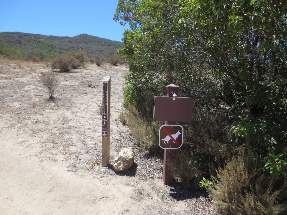
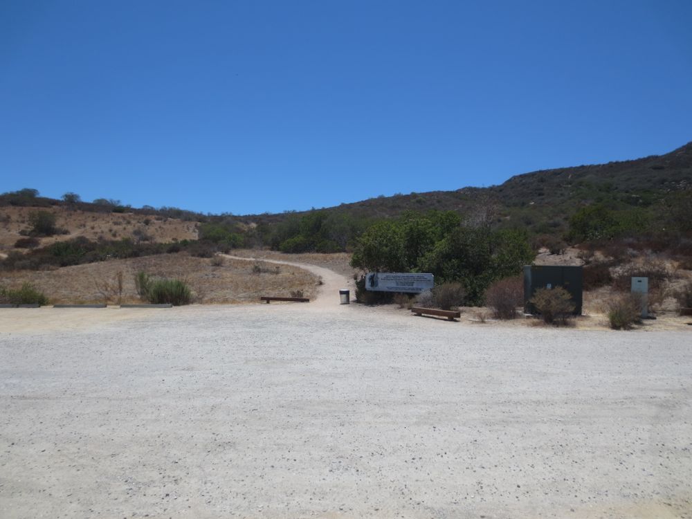
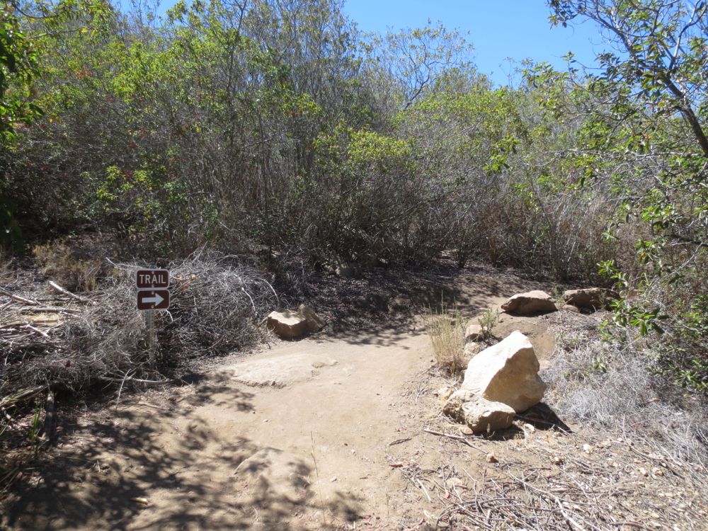
Once you have parked and placed your parking pass on your dashboard, proceed to the signed Stagecoach South trail on the south side of the parking lot.
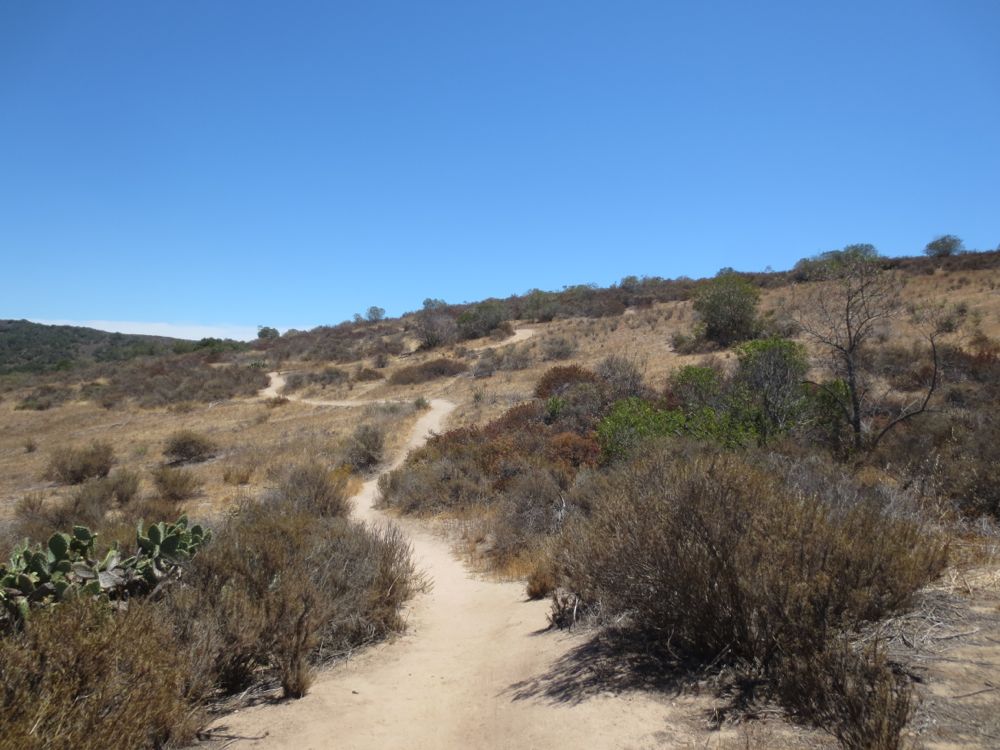
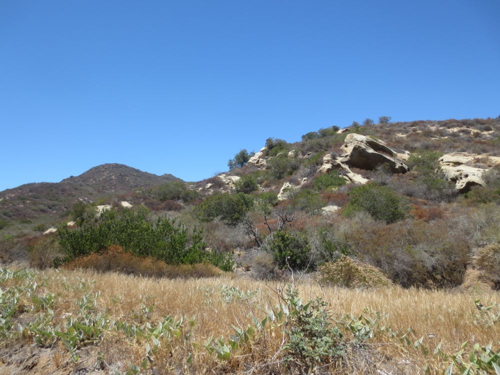
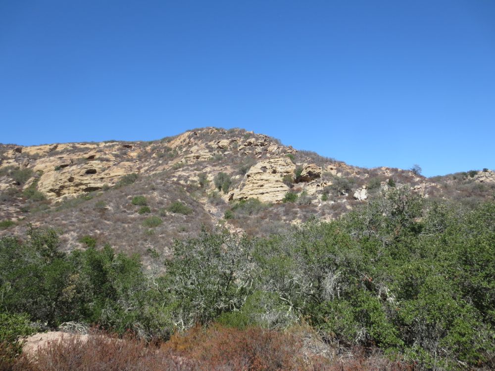
Now proceed up the well maintained trail as it climbs towards the ridge line above. This portion of the hike is through exposed chaparral, so make sure you have plenty of water and sunscreen in the summer. Once you hit Camarillo Canyon on the opposite side of this ridge there will be some nice shady spots though.
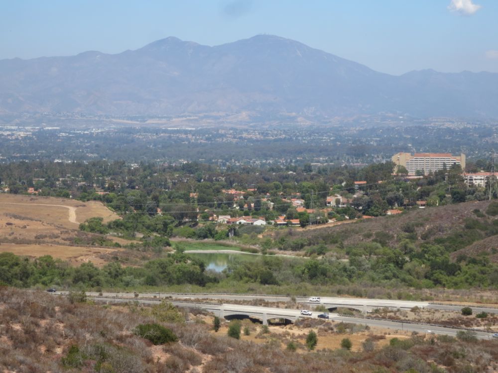
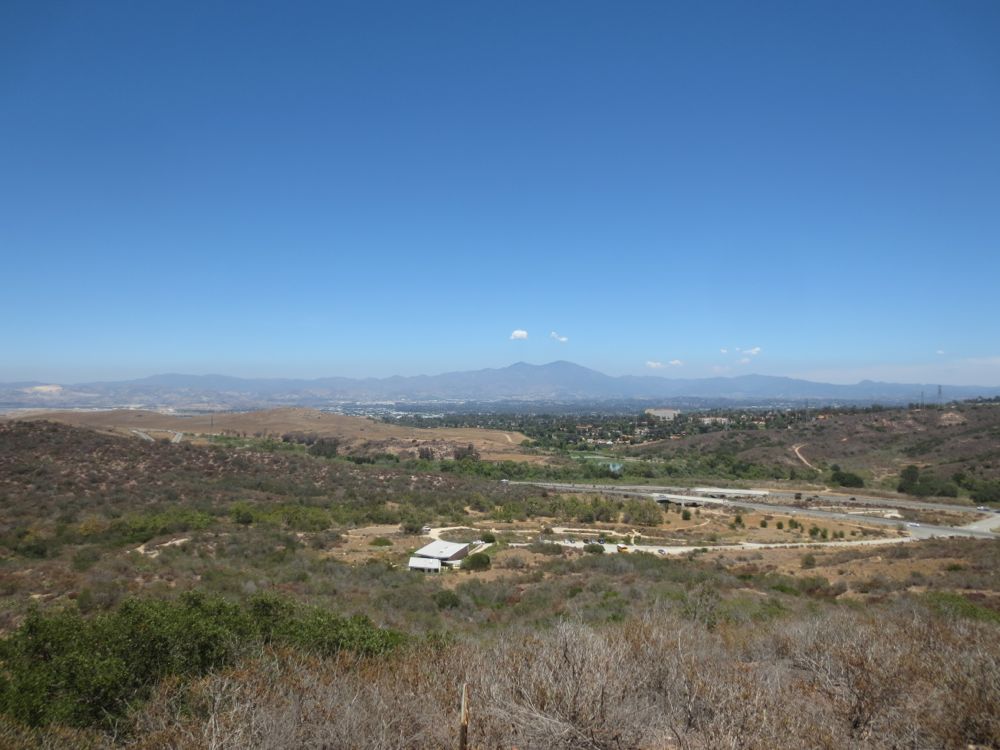
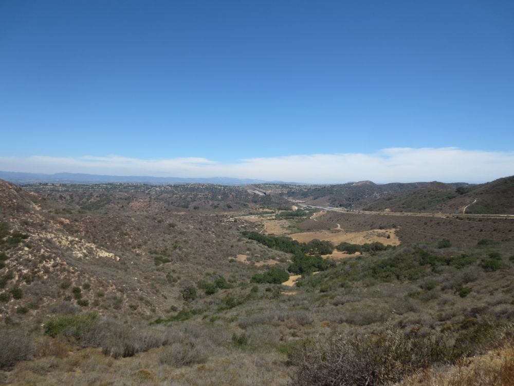
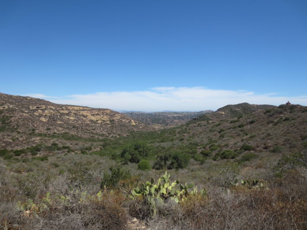
Soon you will be high on the ridge and will begin to experience some great views if south Orange County and the Santa Ana Mountains. Watch out for the lakes across the 133 freeway. Note that these are actually natural lakes – in fact the only natural lakes in Orange County. You can obtain more information on these in the nature center upon your return if you so desire.
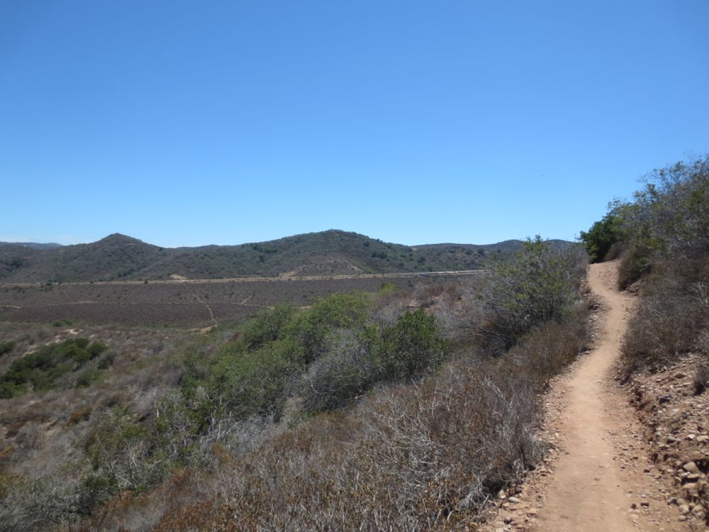
As you will crest the ridge you will see the 73 freeway ahead, and the hills of the south section of Laguna Coast Wilderness Park past that.The trail will begin to descend into the canyon ahead.

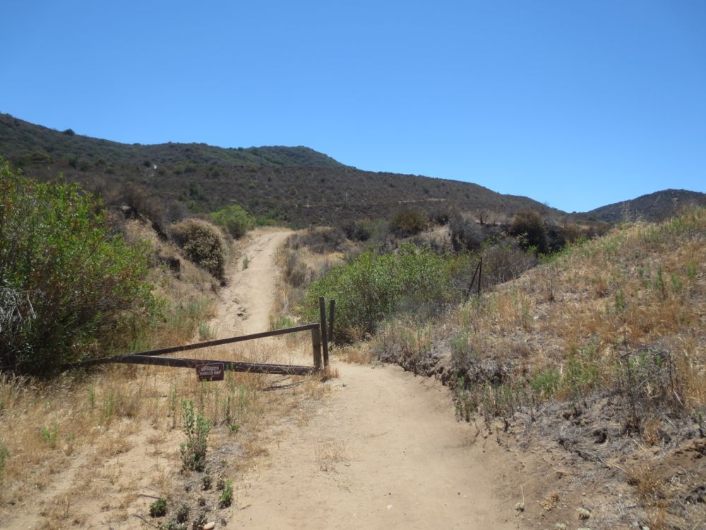
Once you have reached the canyon floor you will encounter a signed trail junction – go to the right here following the sign for Camarillo Canyon Trail. Just beyond this is an old rusted gate – probably a leftover from ranching days – but just go past this.
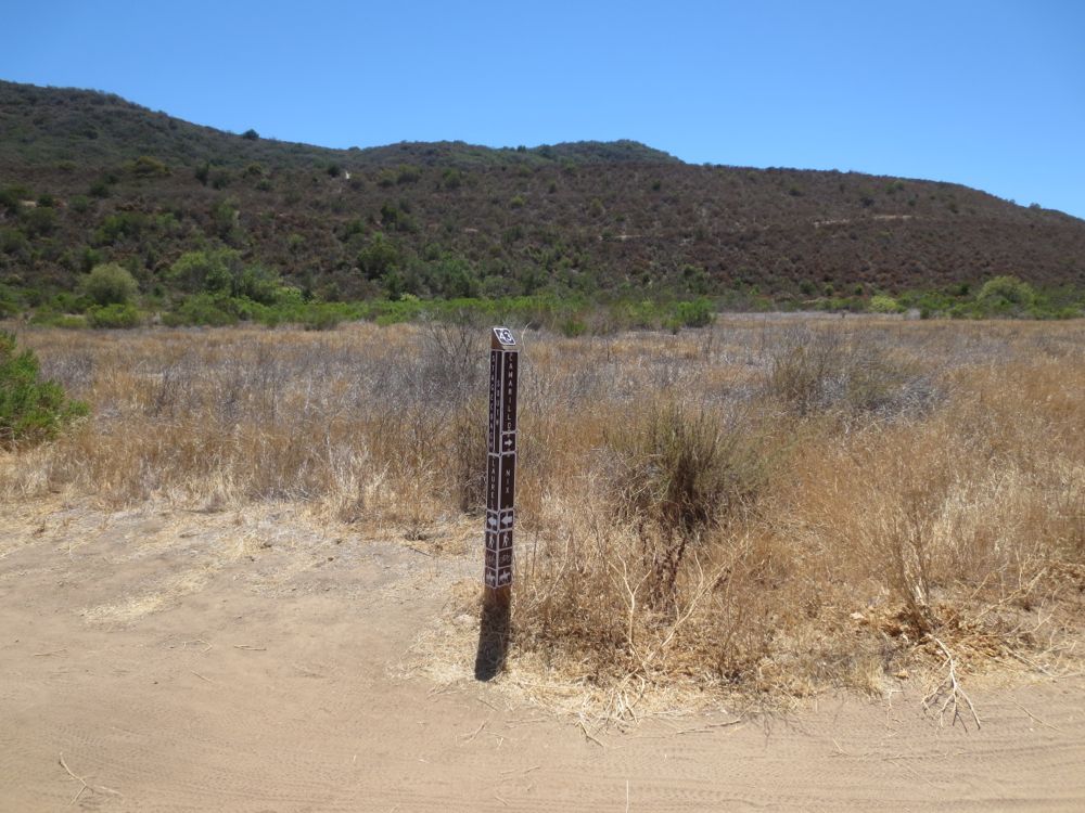
After only about another 100 yards you will encounter another trail junction. The trail to your left takes you to the south side of the park past the freeway. But you will stay straight ahead on the Camarillo Canyon Trail.
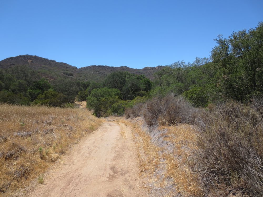
Continue on down the road, and shortly you will see some trees ahead as the trail descends slightly before crossing a small seasonal creek. You can rest in the shade of some beautiful oaks here if you wish. Enjoy the shade now because you will be on an exposed ridge for the next 3 miles or so.
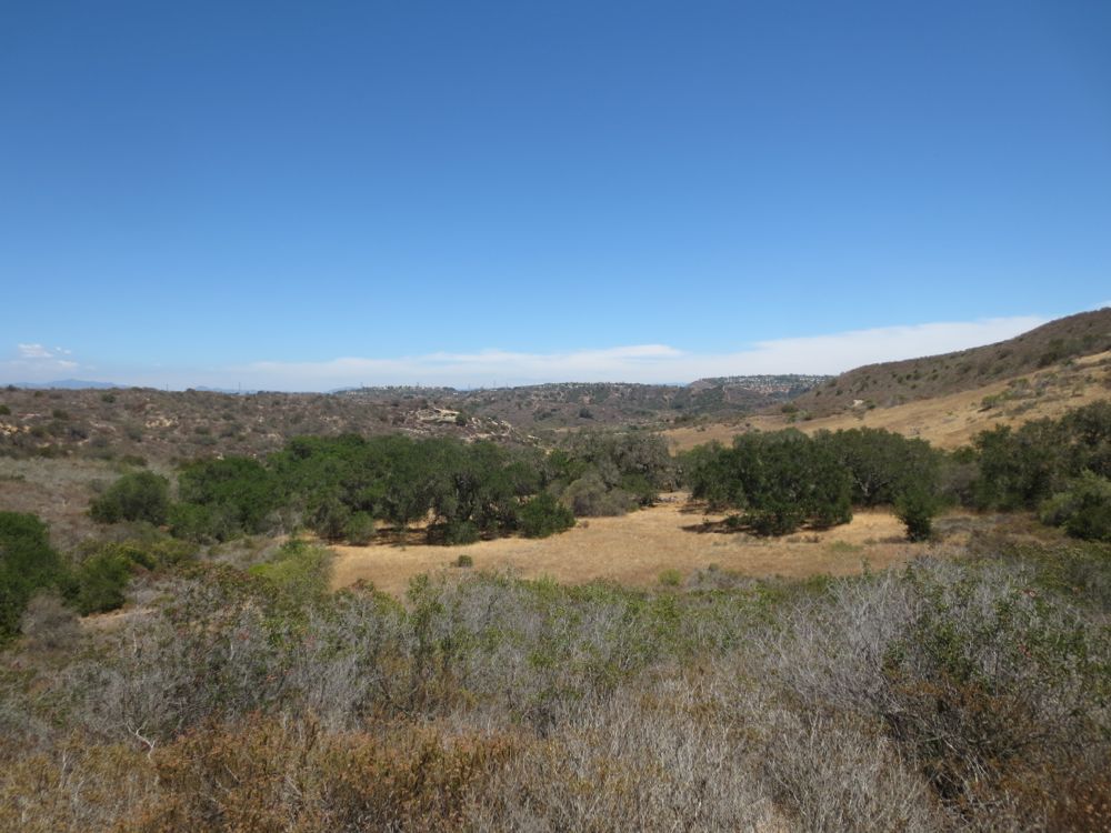
Past the oak grove the trail climbs steeply again, and you will enjoy some great views of Camarillo Canyon and its oaks from above.
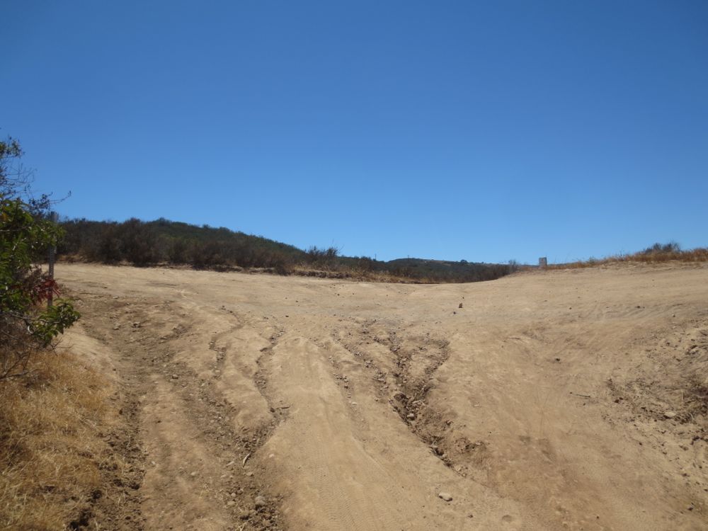
At the top of the ridge you will encounter a four-way trail junction. Turn to the right (north) here to traverse Serrano Ridge.
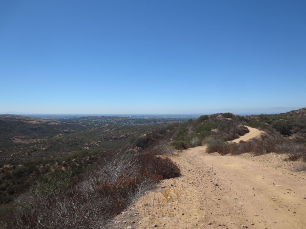
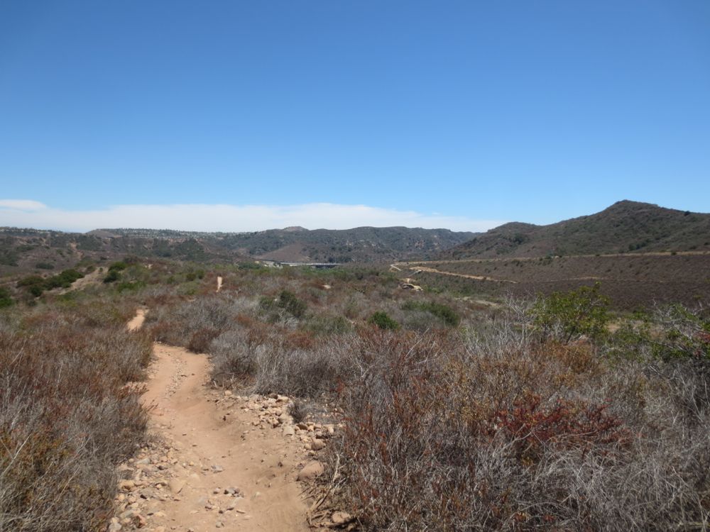
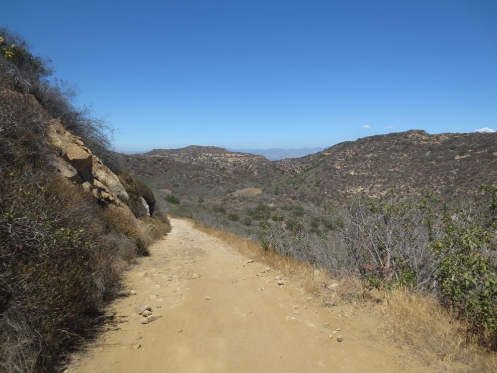
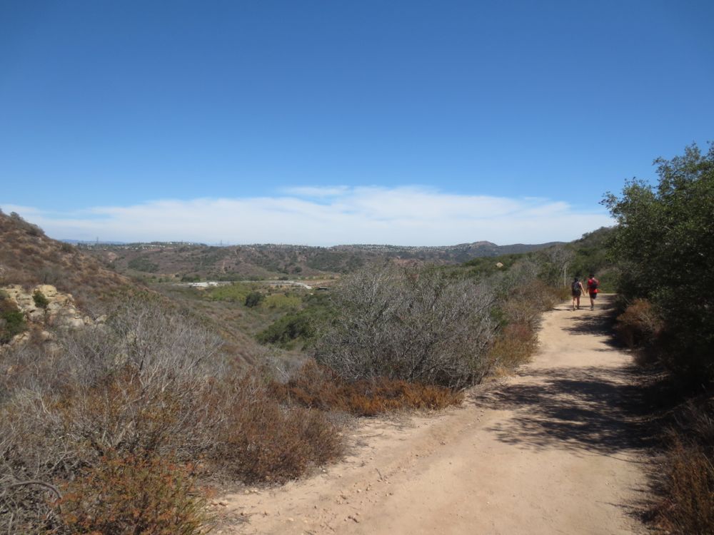
Now you will begin a long traverse of this ridgeline with a few ups and downs. This is a favorite part of the hike, and it feels much more remote than it is, partially because of your height above the surrounding areas but also because there typically are relatively few other people. The vistas are fantastic, and open up more and more as you proceed. You will see the undeveloped canyons of the Irvine Open Space Reserve to your left and then some of the Shady Canyon development.
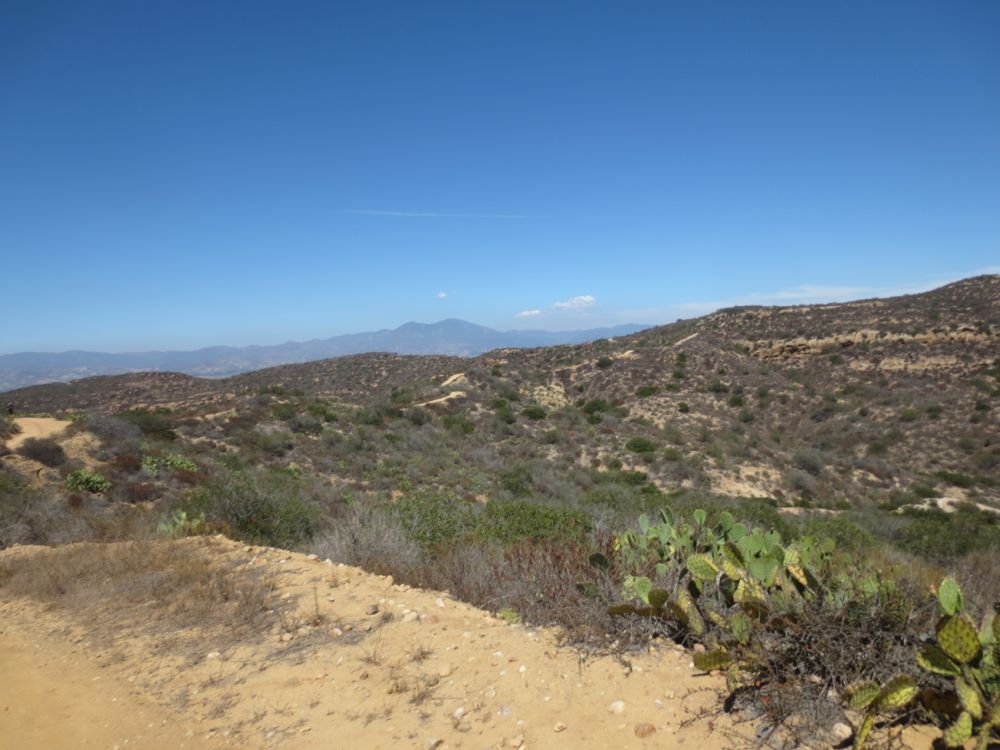
To your right the Santa Ana Mountains and a surprisingly wild interior area of wilderness hidden in this unspoiled park.
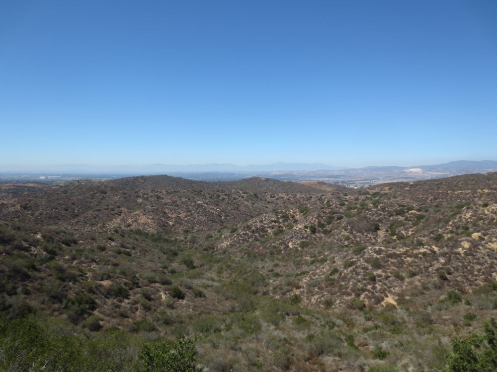
You will receive dramatic sweeping views of the San Gabriel Mountains far to the north as well. On a clear winters day after a storm these mountains are a glorious sight with their blanket of white snow in the far distance.
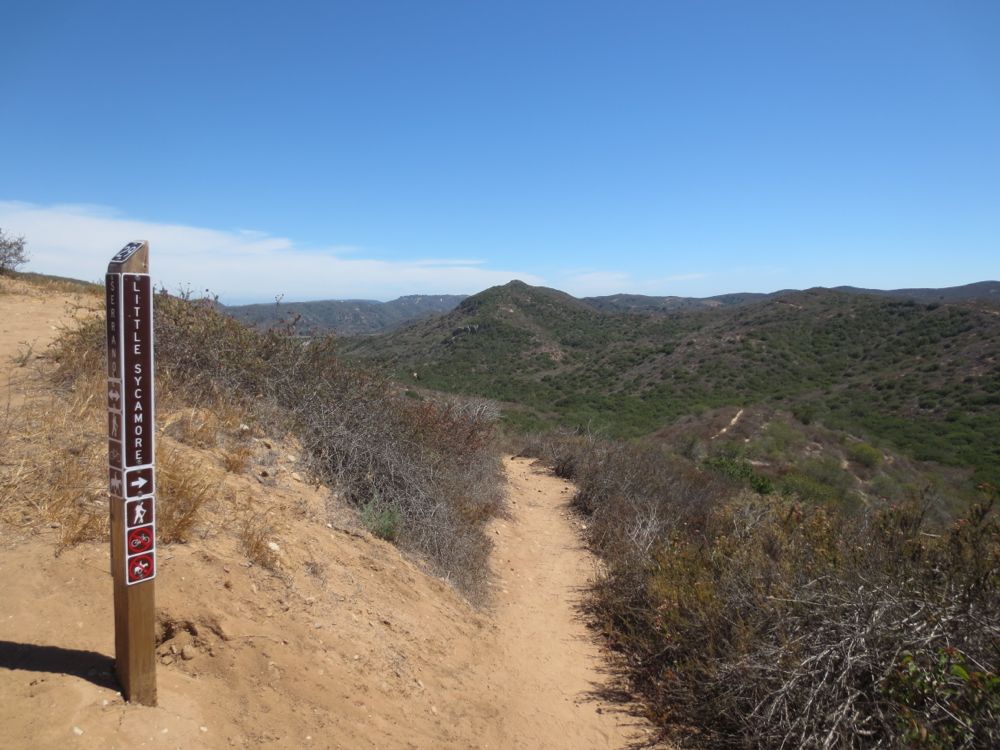
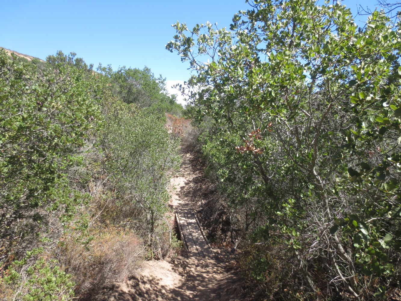
The trail drops steeply down into the canyon below. Soon you will encounter some small shrubs and tress, which offer some shade opportunities, before crossing the seasonal creek a couple of times on small wooden bridges.
After what sometimes seems like a long time on this exposed ridge you will encounter the signed junction with Little Sycamore Trail. Follow this to the left and down.
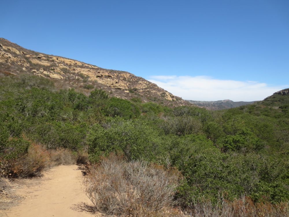
Soon you will see the Santa Ana Mountains and the housing across the 133 freeway s you begin your return to civilization. Watch for the lovely grove of the canyon’s namesake sycamore trees at the mouth of the canyon across from the parking lot. The trail ends at the parking lot, where you will now find your waiting vehicle.
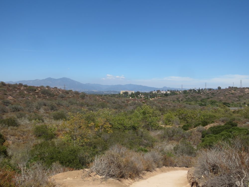
Video of Little Sycamore Canyon Loop Hike
At the high point of the hike on Serrano Ridge on 7/11/2014.
