Upper Eaton Canyon Hike
Summary for Upper Eaton Canyon Hike

Difficulty
Strenuous Adventure Hike – Read Adventure Hiking Page
Length
7 Miles
time
Elevation Gain
1,400′
Summary
Drop into the pristine alpine wilderness in the upper reaches of this famous canyon, miles from the crowds far below – and above.
Eaton Canyon is one of the more well known names in Southern California hiking particularly because of its Nature Center and the easy, scenic, and justifiably popular Eaton Canyon Falls Hike, which are both easily accessible in Pasadena. Unknown to most, however, is the magnificent upper part of the canyon, a pristine, pine forested, sub-alpine wilderness that is accessible only to adventure hikers, since no trails exist here.
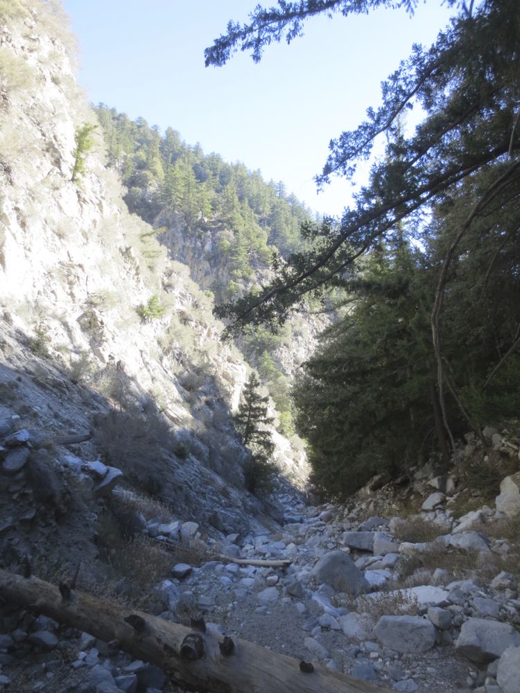
This hike drops you into this tranquil and wild area off the Mt Lowe Railway Trail, and descends the rugged gorge down its boulder strewn stream bed, eventually returning back to your starting point. Note that the hike can be extended as desired, providing your available time and skill level allow for this. It’s possible, and it has been done, to take this hike to its junction with the Idlehour Trail, and then all the way down to Eaton Canyon Nature Center, which would be 15 miles one way. Water typically flows in the very upper portions only during wet months, although in normal winters and springs you would encounter water near the farthest point reached on the GPX map attached.
Directions to Trailhead for Upper Eaton Canyon Hike

Detailed Description for Upper Eaton Canyon Hike
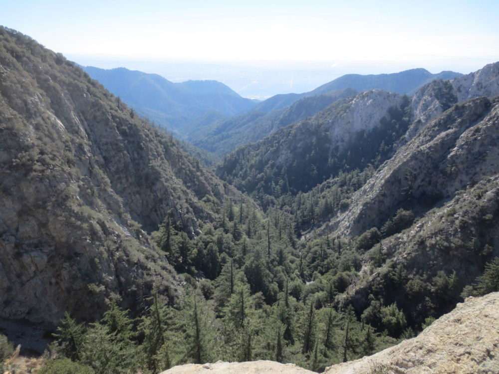
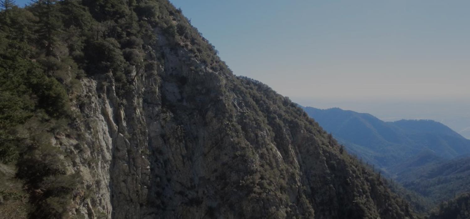
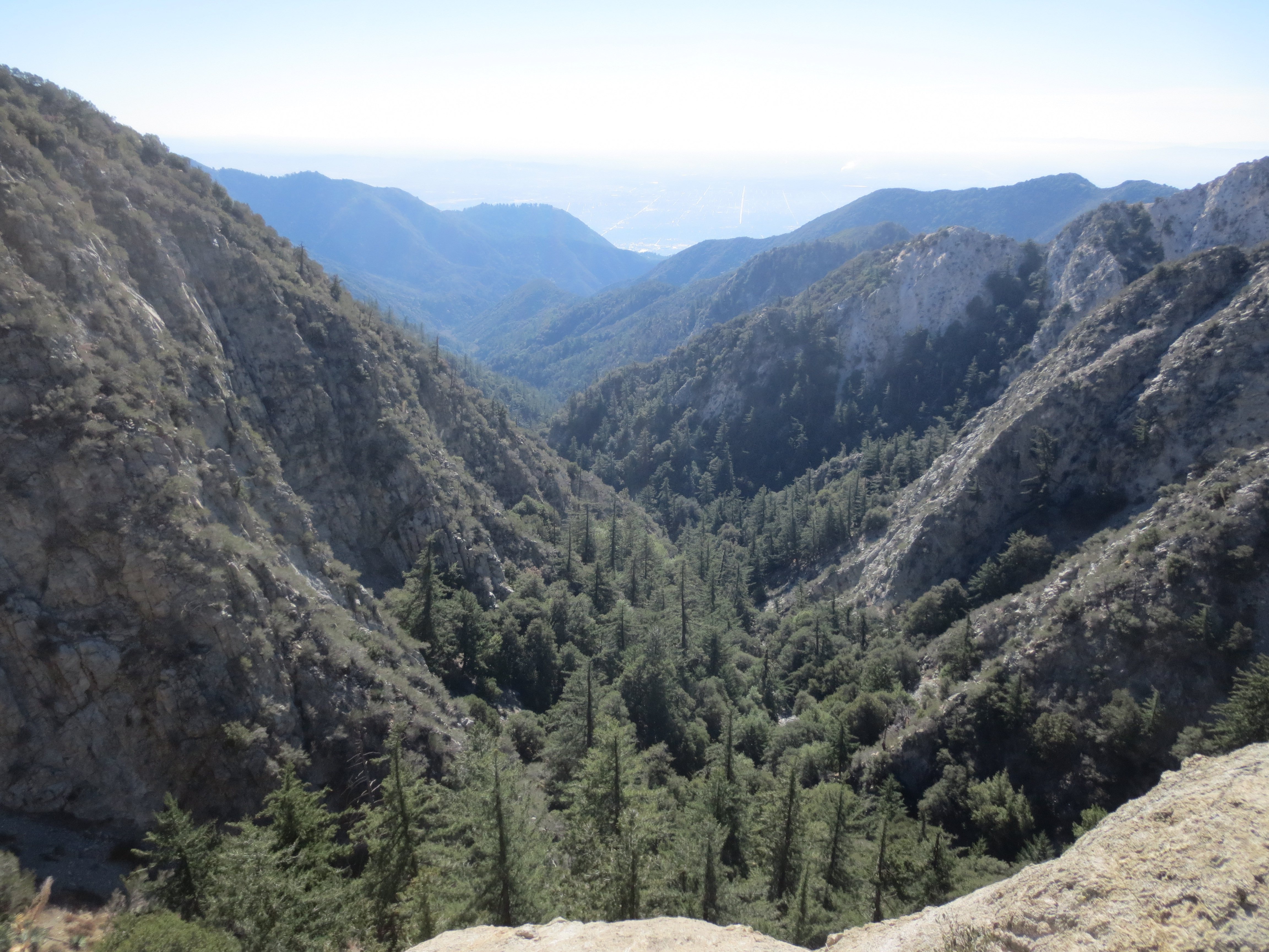
After parking at the dirt parking area which offers access to the Mt Lowe hike – about 2.3 miles up from Angeles Crest Highway (indicated on directions map above) – display your adventure pass, and walk up the trail past the signs towards Mt Lowe. Soon to your left you will encounter the spectacular view down Eaton Canyon, seen in the photo above on this page.
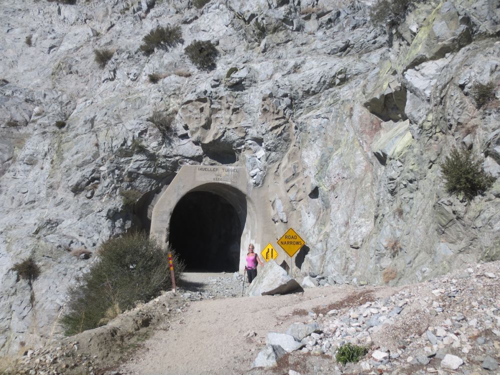
Take a moment to survey the terrain and the dramatic gorge, because you will soon be deep within its bowels. As you proceed you will soon encounter the picturesque Mueller Tunnel, constructed in 1942. Proceed through the tunnel.
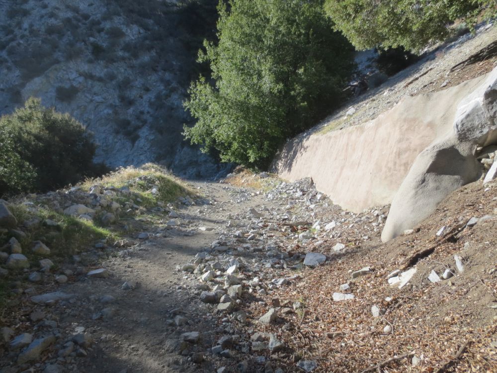
After you exit the tunnel you will continue on the fire road towards Markham Saddle, which is the high point ahead. You will pass a concrete covered wall on your right.
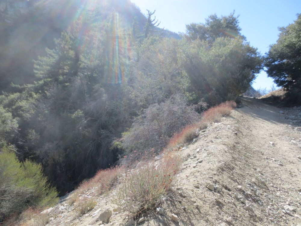
After that, about 50′ to 100′ before the saddle, which is approximately 0.5 mile from the start, you will want to descend the steep dirt covered slope to your left. This is the drop in point. Note that there is an old water tank on Markham Saddle, so if you hit this you have gone a little bit too far.
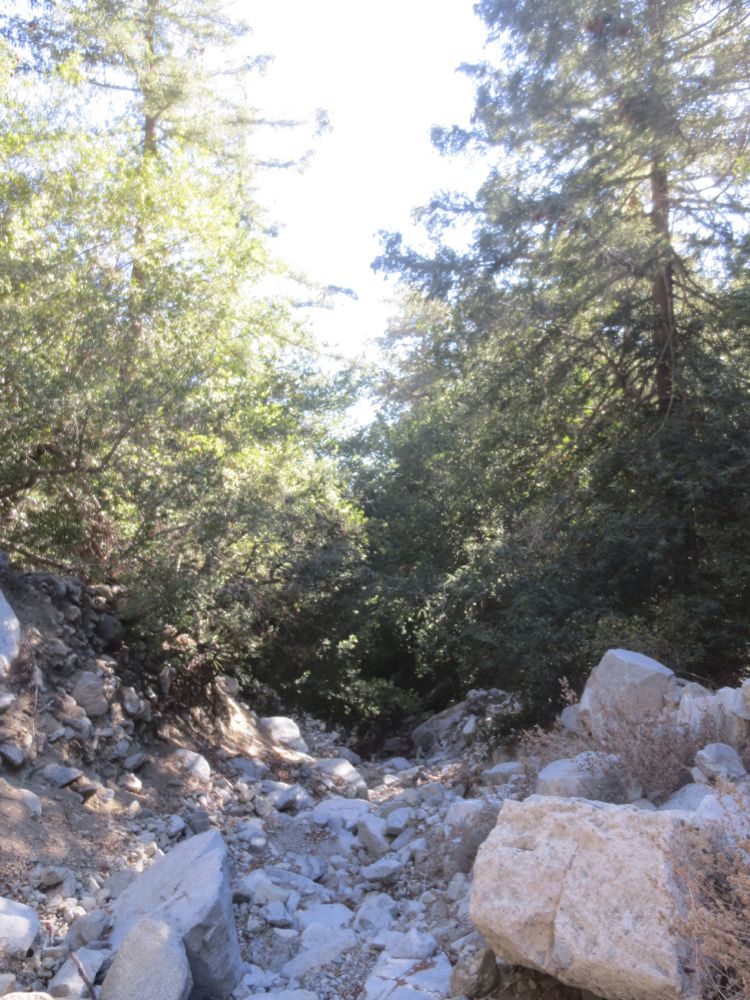
There is no defined trail down, so carefully descend the slope about 100 yards or so until you hit one of the boulder filled gullies that begin their obvious descent into the main stream bed below. Be cognizant of your surroundings because you will need to come back this way on your return. Mark some key points with trail ducks.
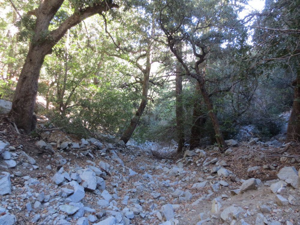
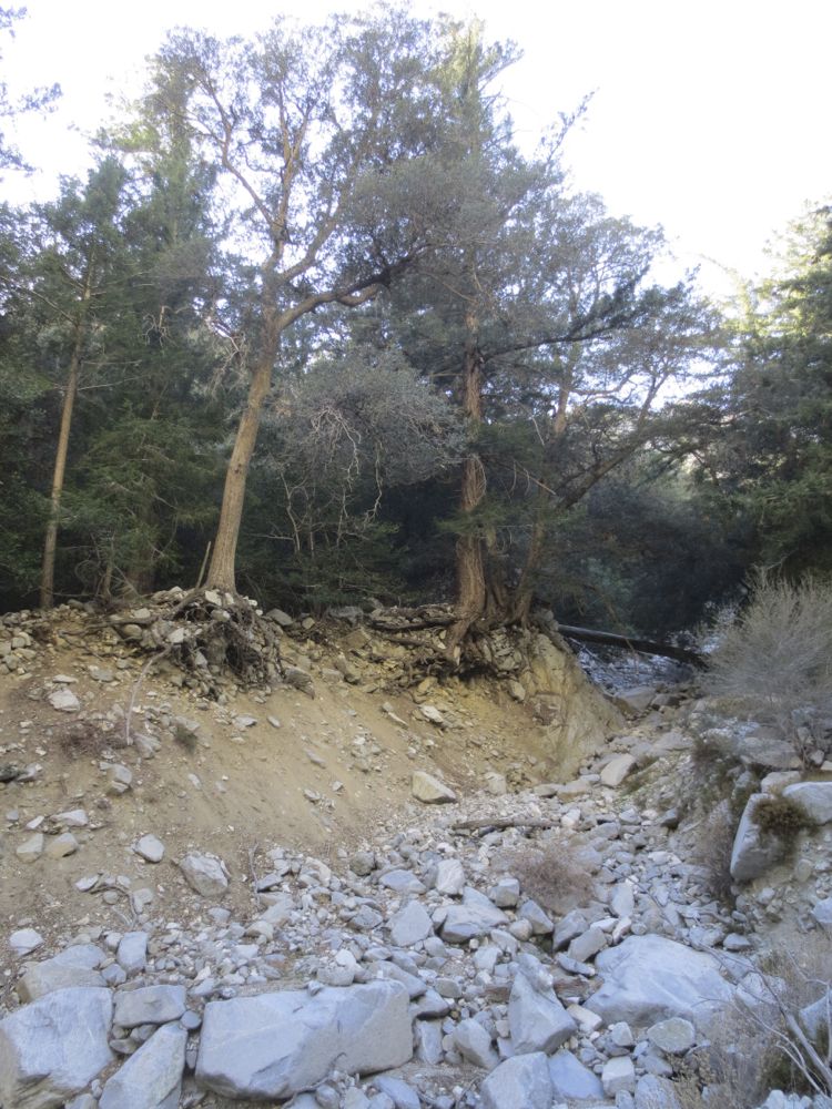
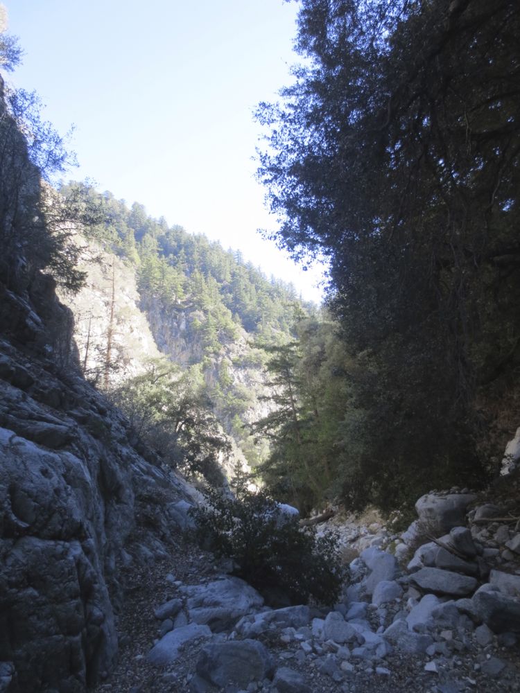
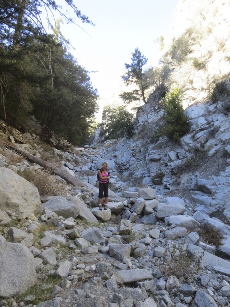
The gorge becomes wider and you lose elevation quickly in this dramatic tree lined stream bed. Soon you will realize you are in the main stream bed, and now you simply descend as far as you are willing. Remember that you have to return, and this trip drops in elevation rather quickly, so make sure you know your abilities – and limitations.
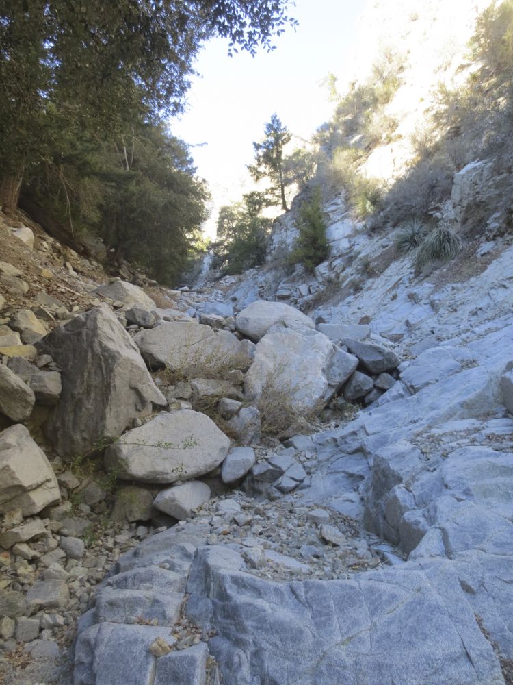
One of the great things about a canyon like this is the magical serenity. Now you are truly in another world – a rugged, pristine landscape completely untouched by man. You will likely hear or see nothing human during your entire time here. After you have enjoyed your time away from civilization in this wonderful canyon, retrace your steps back to your car. I will reiterate that this type of hike where one descends steeply can be deceiving, and it takes significant time and energy to ascend back – so be aware of the time and your conditioning level.
