Temescal Canyon Hike – Los Angeles
Summary for Temescal Canyon Hike

Difficulty
Easy to Moderate
Length
4 Miles
time
2 Hours
Elevation Gain
900′
Summary
Great beginner’s loop trail featuring expansive ocean, city, and canyon views, a lovely seasonal stream with waterfalls, and old growth oak and sycamore forest.
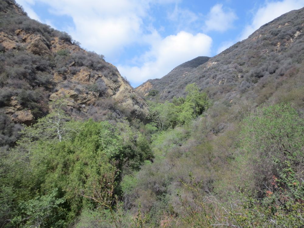
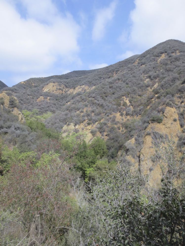
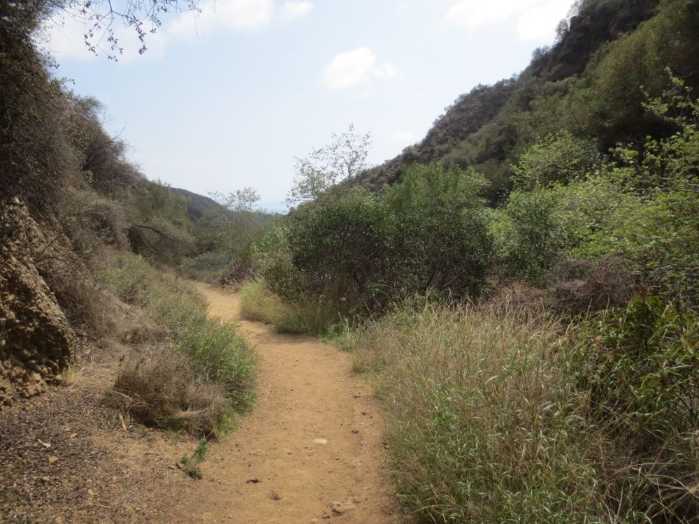
The Temescal Canyon Hike is a loop trail that begins in Temescal Gateway Park in Pacific Palisades, and its combination of quick, easy access along with diverse beauty on a well maintained trail makes it a popular choice for Westside Los Angeles hikers, so you’ll normally not be alone here. These features also make it a good choice for beginning to intermediate hikers, but anyone who wishes to understand the topography of the Santa Monica Mountains should experience this area. The trail quickly climbs a ridge which offers expansive city and ocean views, before dropping into a remarkably lovely canyon featuring a small stream and a pretty seasonal waterfall. Note that water flow varies with season and annual precipitation totals, so by summer this stream is normally a trickle or even dry. However, the hike is always a nice one, especially once you enter the magical confines of the lovely oak and sycamore shaded canyon.
Directions to Trailhead for Temescal Canyon Hike

Detailed Description for Temescal Canyon Hike
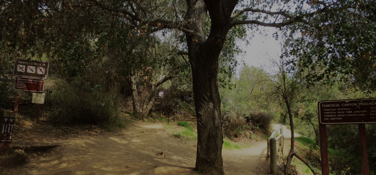
Once you have parked in the Temescal Gateway Park – or anywhere on the surrounding streets, taking care to read the parking signage – begin your hike by following the sign for the Temescal Ridge Trail. You then go up the ridge to the left first, but you could do it as a loop in the opposite direction by going up canyon to the right, however your return will then be on the exposed ridge instead of in the shaded canyon.
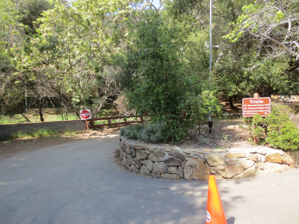
This Temescal Canyon hike goes up the ridge first, so stay left and up once you have found the actual trail heads, which are a couple hundred yards or so from the parking area, and are actually on the opposite side of the creek.
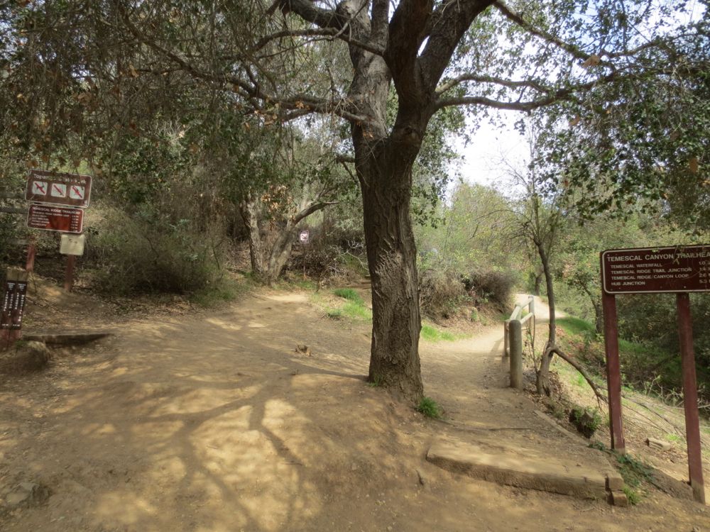
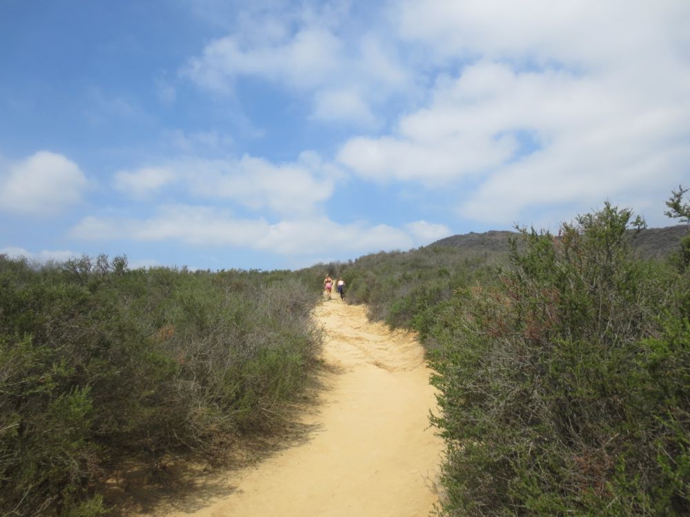
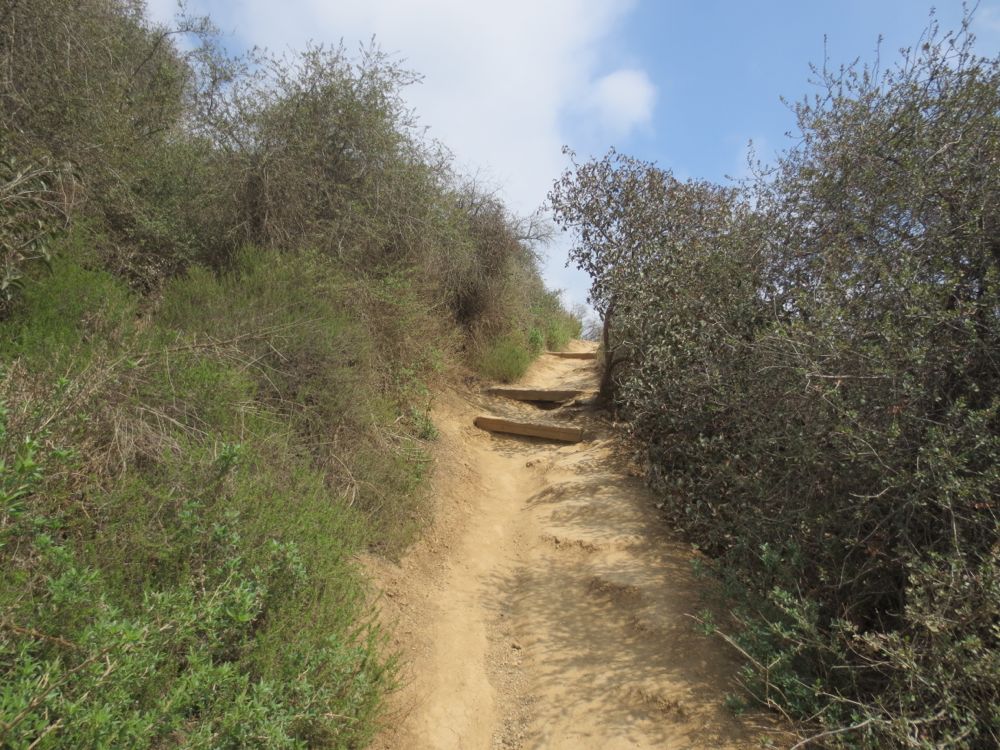
Now the well graded trail climbs steeply as it switchbacks up the ridge. Note that this portion of the trail is exposed for a mile or more, with very little shade, so make sure you use sun screen as appropriate and bring sufficient water, especially on hot sunny days.
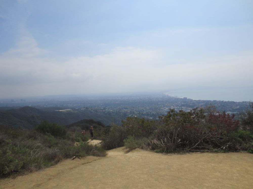
Soon you will experience increasingly dramatic and sweeping vistas of the Pacific Ocean and the entire Santa Monica Bay area, from Pacific Palisades to the Palos Verdes Peninsula. On clear days it can be quite stunning.
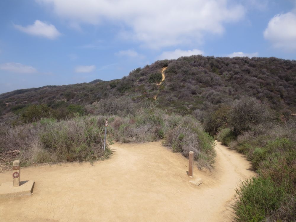
You will encounter a couple trail junctions along the ridge which are marked on the map above – at both of these just stay to the right. A third junction will be signed and indicate a trail to Skull Rock, which you could throw in as a side trip. Just ahead is the sign indicating the trail to the waterfall, which is down into the canyon to the right. This hike continues the simple loop and drops into the canyon to the right.
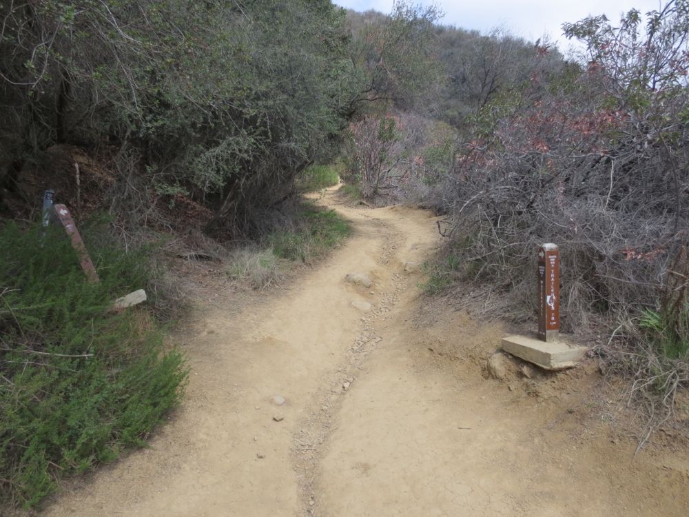
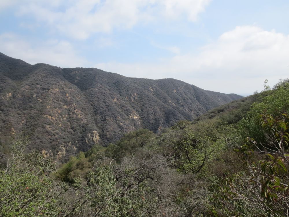
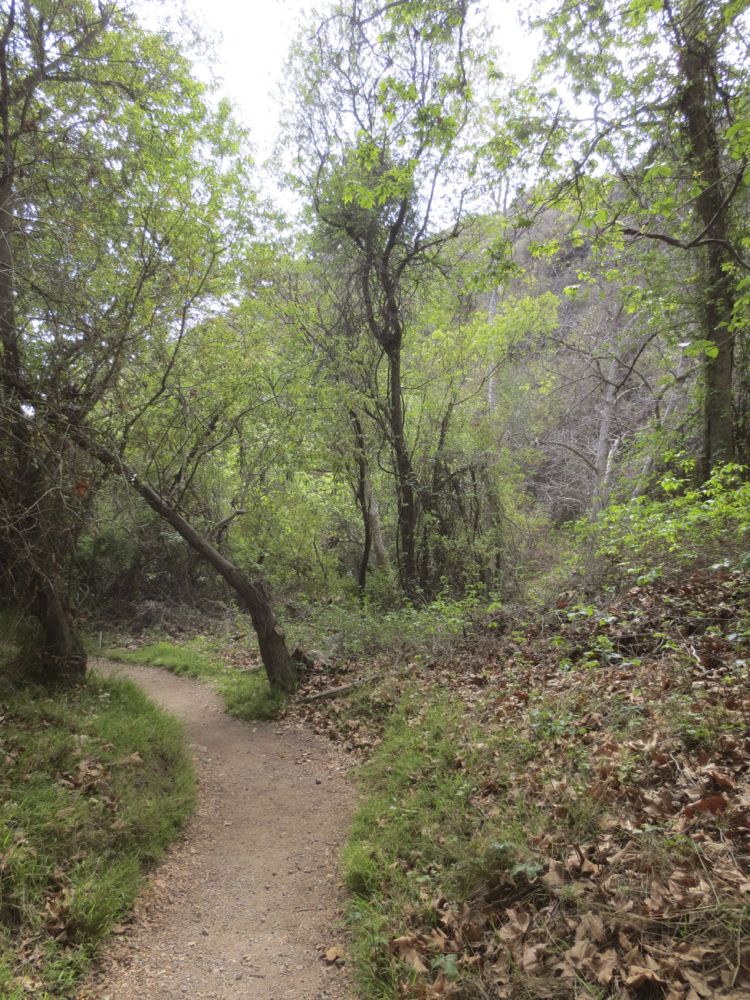
You will have noticed by now the deep and dramatic gorge of the lovely canyon into which you will now steeply descend. The trail is now well shaded and maintained as it drops to the stream below.
Before you know it ahead will be seen a small well-engineered bridge over the stream.
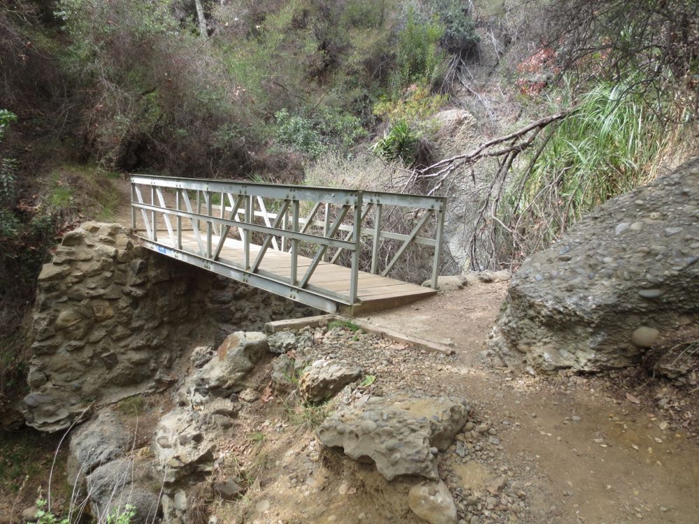
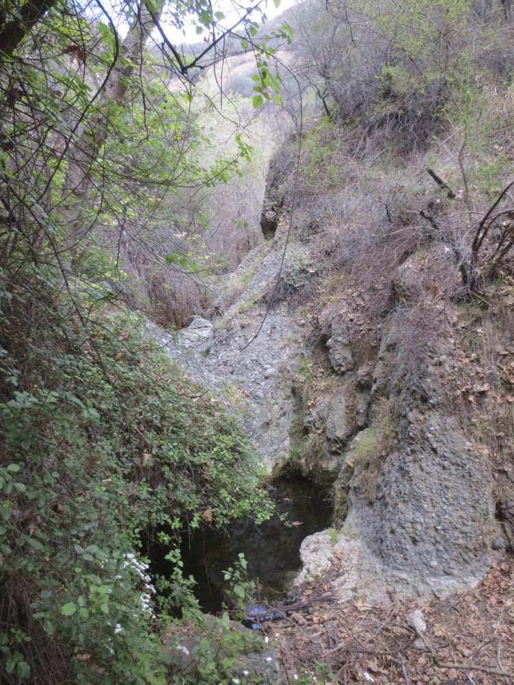
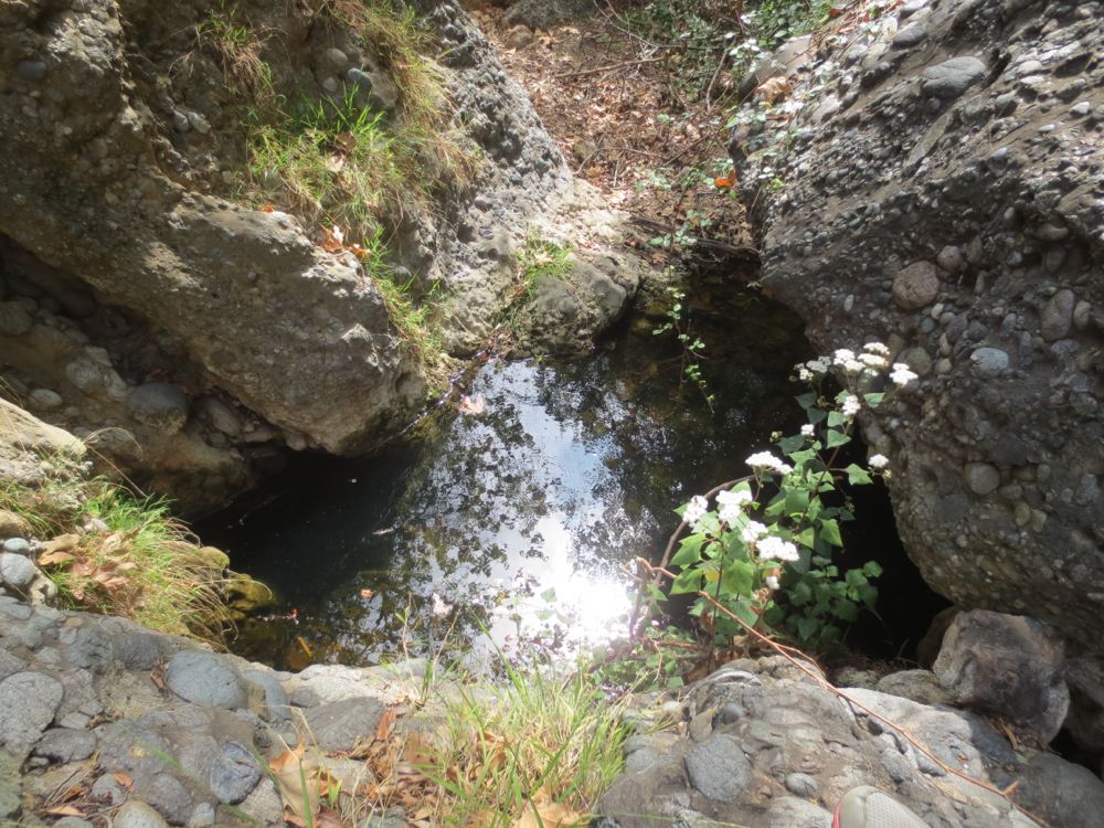
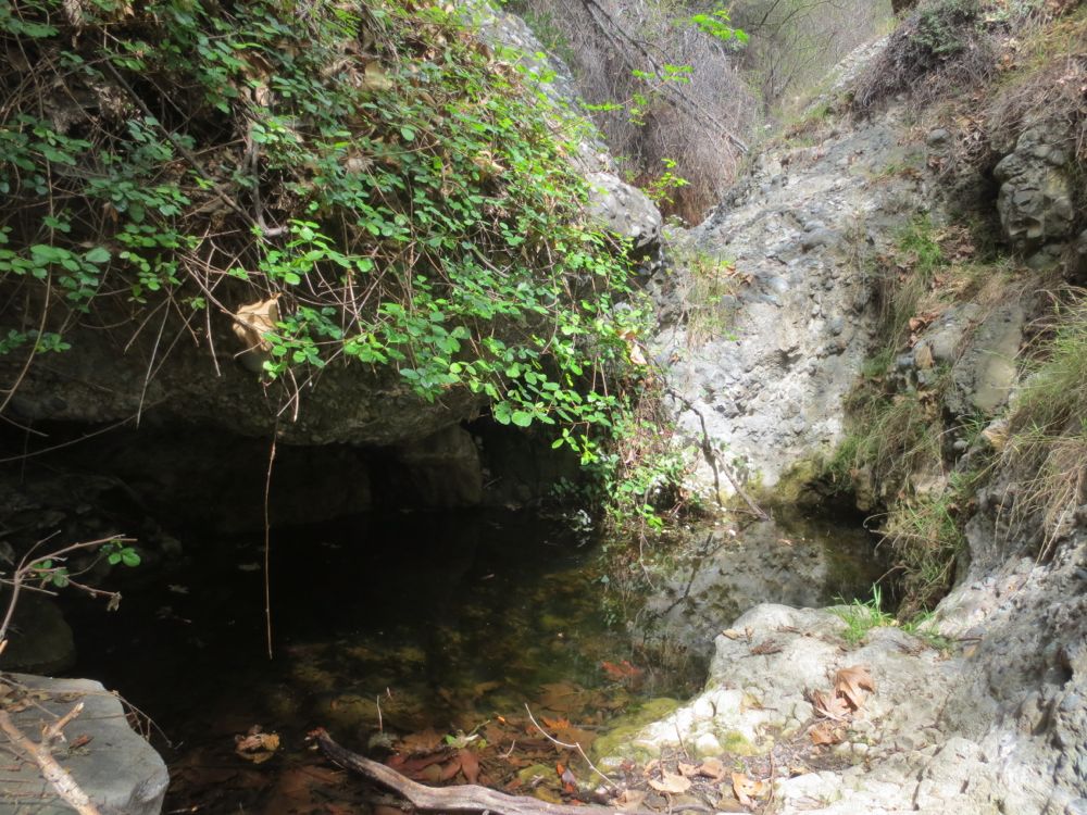
Just above this bridge is the small seasonal waterfall in a lovely grotto, with a larger waterfall below the bridge as well. Note that in these photos taken in the drought year 2014 in April, there was very little water, but it’s a beautiful spot nonetheless.
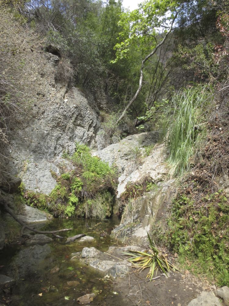
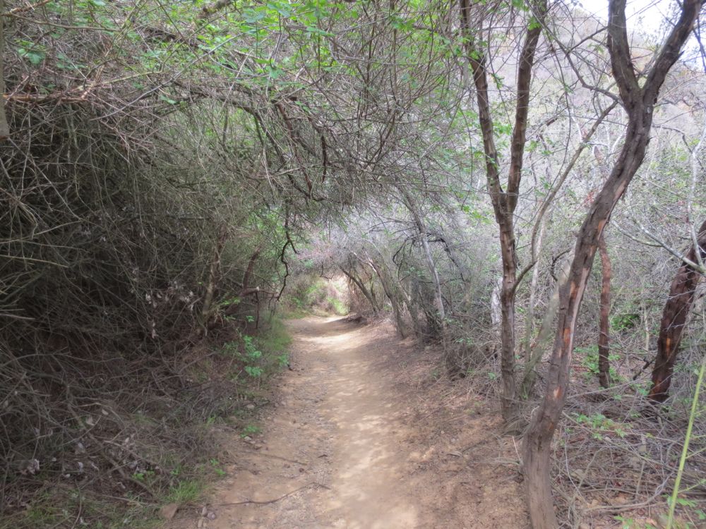
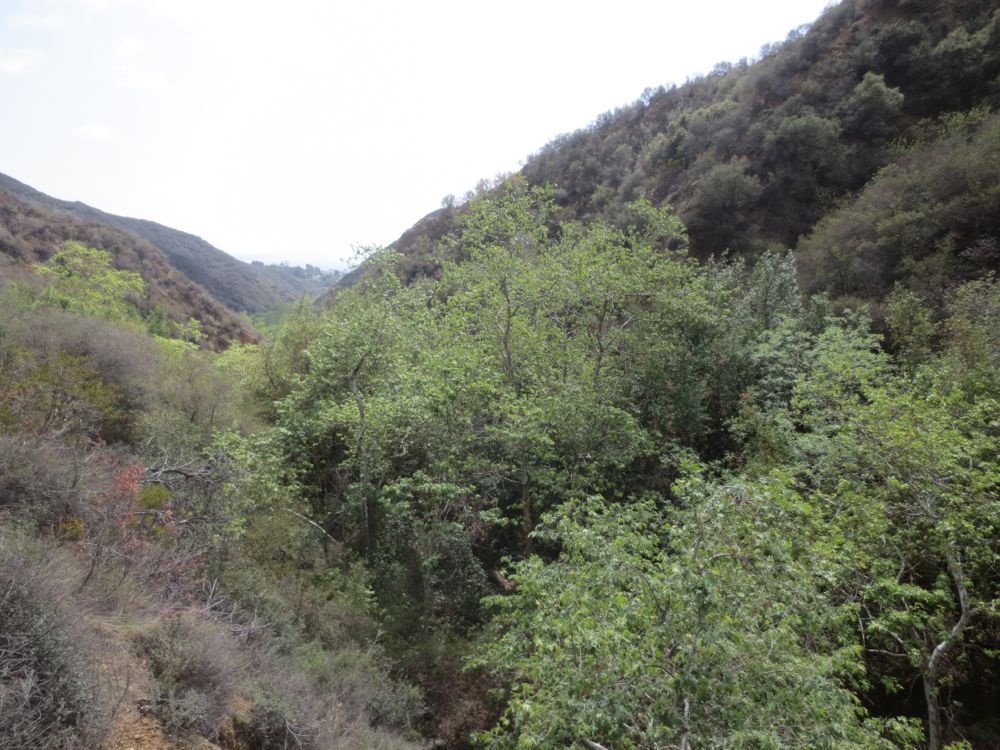
Now continue down the trail above the stream in this beautiful canyon with its surprising abundance of large trees and lush undergrowth. This is a very special natural space, and displays the tranquil magic of a coastal Southern California mountain canyon in all its glory, but by means of a simple and easily accessible trail. After enjoying the beauty of this peaceful oasis, so close to the bustle of urban life below, you will reach the trail head again, to complete your loop. Now simply retrace your steps back to your vehicle.
