Runyon Canyon Hike – Los Angeles
Summary for Runyon Canyon Hike

Difficulty
Easy to Moderate
Length
3.2 Miles Round Trip
time
Elevation Gain
800′
Summary
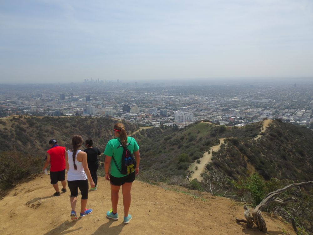
A good cardio workout with great city and ocean views, and dog friendly. A bit crowded yes, but also close to the city.
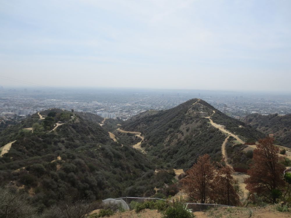
Runyon Canyon is a popular hiking destination and rightfully so – it offers a great cardio workout, wonderful views of Hollywood, Los Angeles, and the ocean, a couple different loop or out-and-back options, and if you do the loop covered here, a segment that offers some moderately challenging steep terrain. But note the word popular in the description above – it can get rather crowded, and is definitely not wilderness. However it’s certainly worth checking out, and is a good choice if your time is limited, especially if you’re in the Hollywood area and you feel like integrating some people-watching into your hike for the day. For more information including some history check out the Wikipedia entry for Runyon Canyon.
Directions to Trailhead for Runyon Canyon Hike
Detailed Description of Runyon Canyon Hike
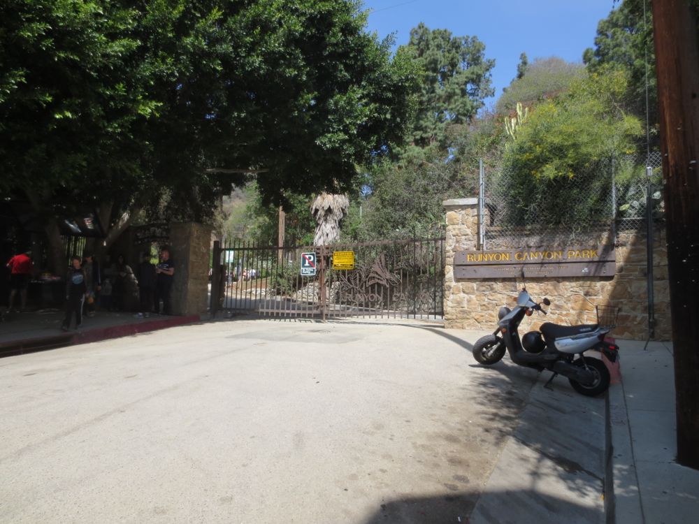
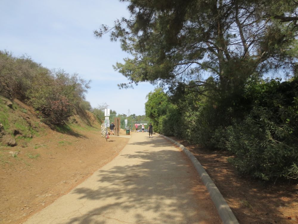
This hike starts at the Fuller Avenue entrance. Note that parking is sometimes scarce close to the entrance, but if you drive around the area you can usually find a spot no more than a couple blocks away. Once at the gate, proceed through and up the paved road that leads into the park.
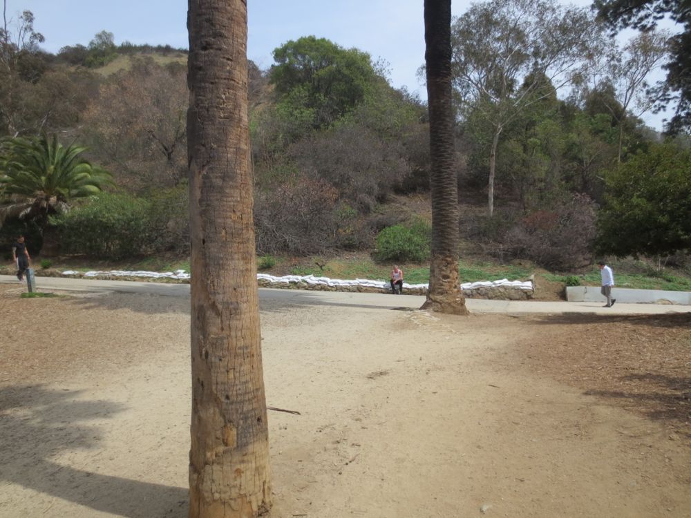
After you walk up the paved road about 100 yards, you will see a dirt path coming in from the left just beyond a large palm tree as indicated in the photo. You will return from this path to complete your loop.
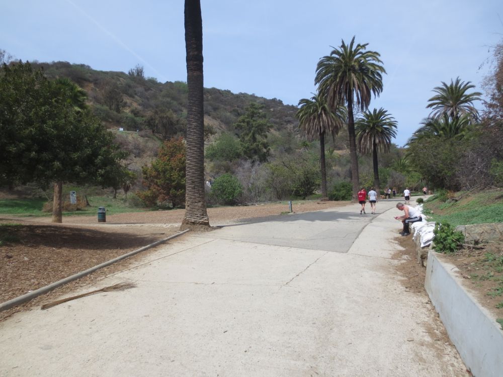
Now continue on until the dirt road cuts sharply to the right and switchbacks up the slope. You will encounter this approximately 0.25 miles from the start. Note that because the park is used so much there are use trails that cut up the slope to the left, or up the slope directly in front of you, but for this hike stay on the wide dirt road to the right and up.
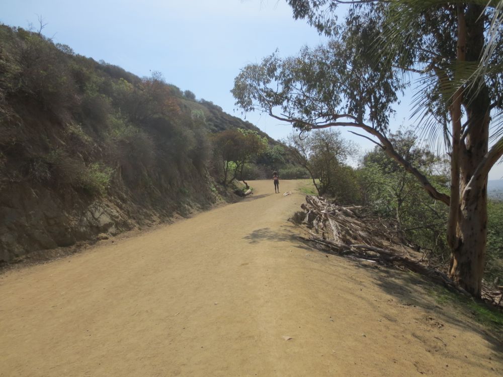
Soon you will be faced with a long series of steep wooden stairs that take you to an intermediate vista spot, and then continue on again up to the top of a ridge.
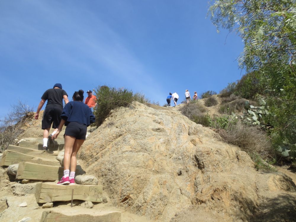
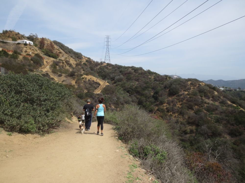
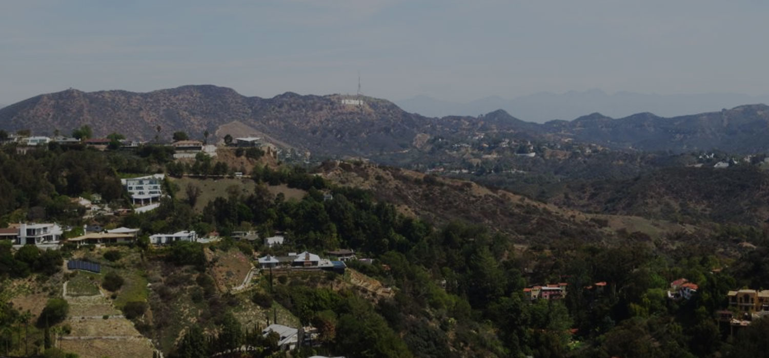
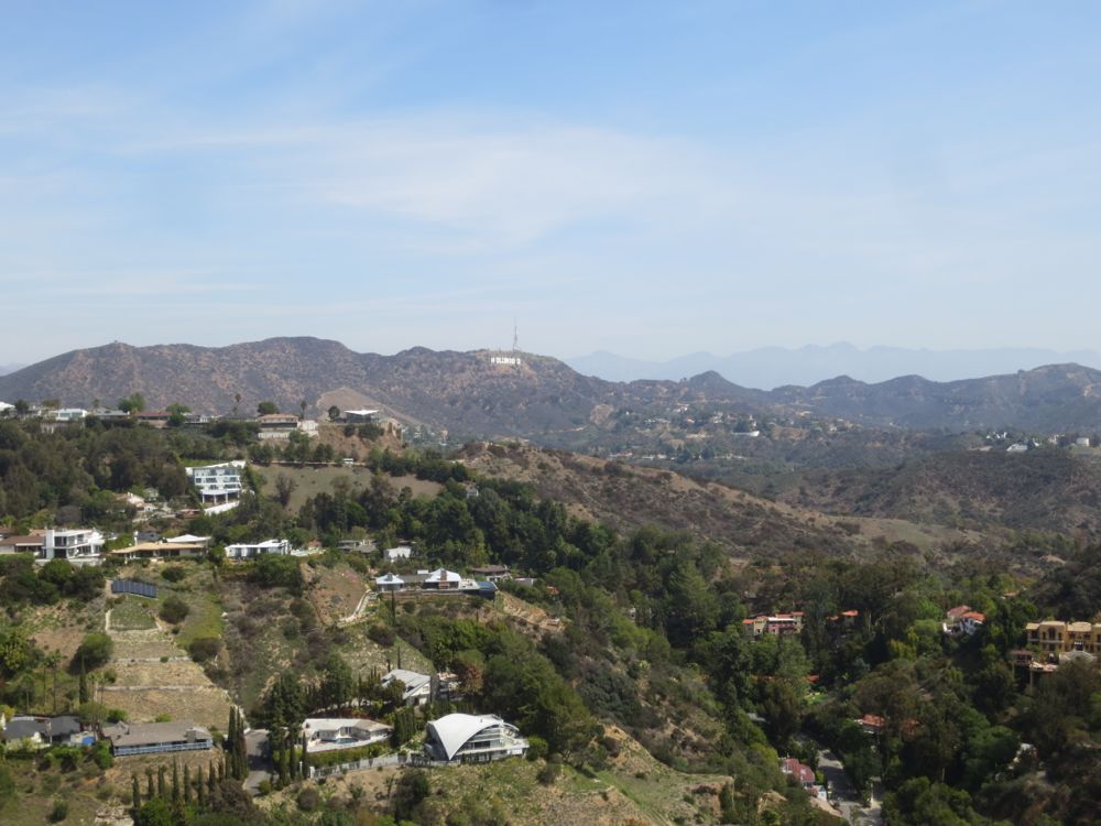
Your views become progressively better as you ascend, and soon as you top the ridge you will have views of the Hollywood sign to the northeast.
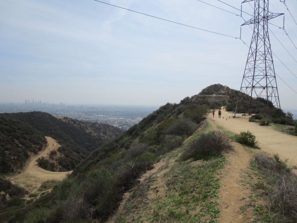
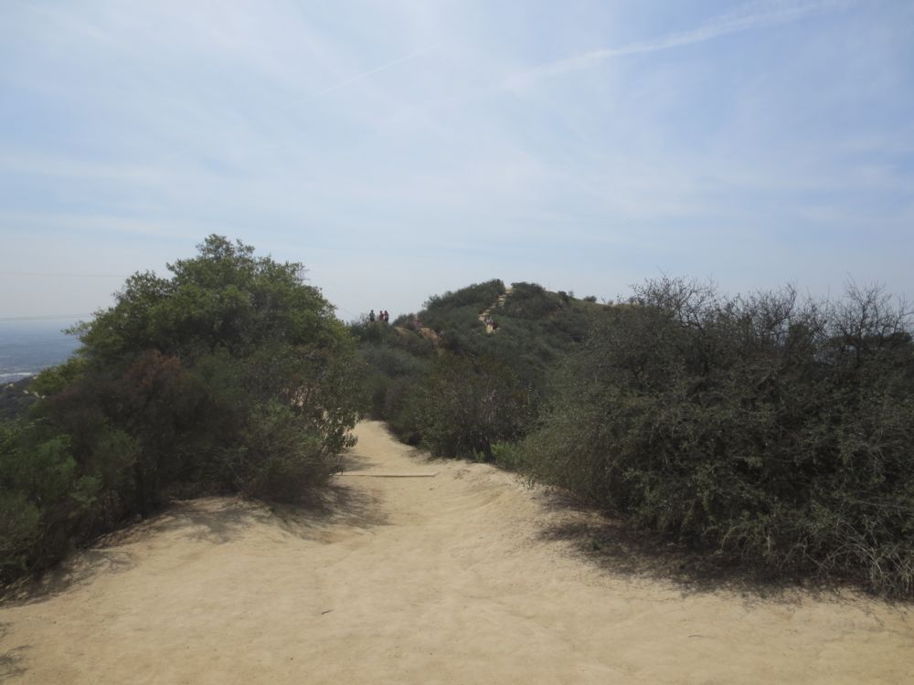
Along this ridge another dirt road comes in from the left – this is indicated as “trail junction 1” on the map above. If you go the left it connects with the road that traverses the center of the park, but for our purposes stay straight ahead towards the houses ahead and to the right. Soon you will encounter another dirt road that comes in from the left, and this one connects back to the trail on the other side, but we will continue on straight ahead to get to the top entrance of the park and see it all.
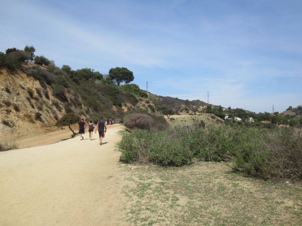
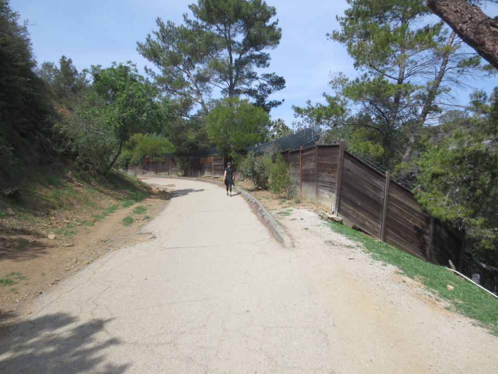
You will turn to the left and pass a wooden fence that separates some houses from the park. continue on and soon you will come to the top park entrance at Desmond Estates Rd and Mulholland Drive. Remember this for future reference in case you ever want to enter the park here.
Just at the park entrance you will see a dirt path going up the hill steeply to your left. Take this to the top of the hill, and you will shortly hit a junction with a trail that leads off to the right to the parks high point. Once you have enjoyed the vistas at the high point, you can return to the junction and turn right to continue, or if you are feeling adventurous you can descend the very steep use trail in front of you to take a short cut. Be advised, it’s very steep, especially near the bottom!
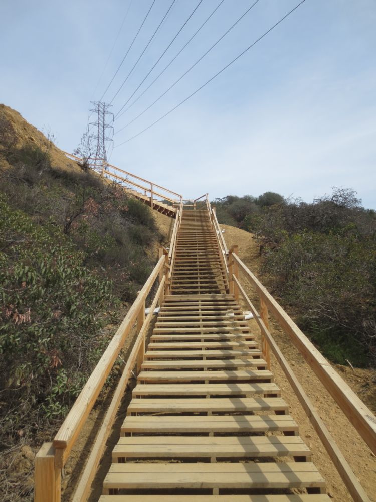
Shortly you will run across the amazingly large sets of wooden stairs that are relatively recent arrivals, and were apparently constructed to avoid encroaching on some private property. Note that in the photo the stairs are viewed form the bottom because it’s a cooler shot, but you will be descending them on this hike.
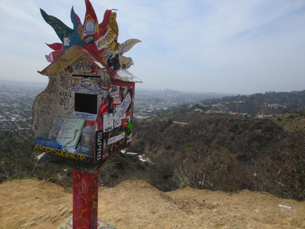
After traversing the stairs you will now travel down another dirt road for a short distance towards the obvious West Hill Top ahead. Once you arrive at the top, spend some time enjoying the great views, and also the esoteric multi-colored box that exists there.
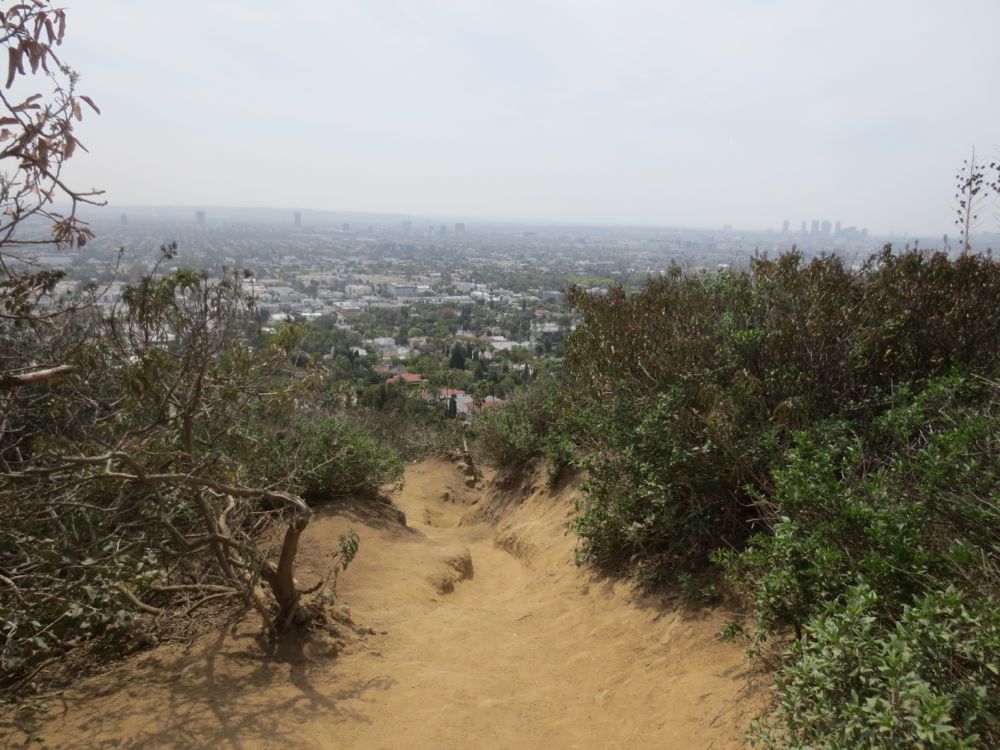
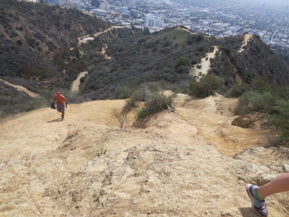
Now you encounter what is perhaps the most challenging and fun part of the hike, which is the descent of the steep and loose dirt path ahead. Take it slow and proceed with caution. You will see many very fit people on this slope who run or hike it all the time, so don’t try to emulate them if you are not capable. Take it at your own pace and be safe.
After you level out for a time you will run across a few more descending segments, with some twists and turns thrown in here and there, but simply continue on down the path as it traverses the ridge back towards the canyon floor.
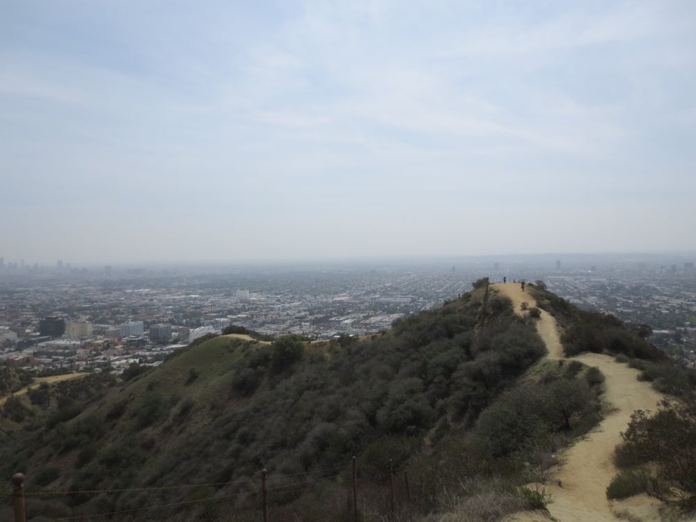
This section from the West Hill Top to the canyon floor is somewhat longer than it appears from the top, but eventually you will hit the bottom, at which point you will encounter another road at the third park entrance, which is the North Vista Street Entrance. Now you have seen all three park entrances. Cross this road and continue straight on the dirt path ahead about 150 yards, at which point you will hit the road from which you began your journey – the loop return point mentioned at the beginning of this dialogue. Now turn right and travel another 100 yards back to the Fuller Street Entrance.
