Weir Canyon Trail – Orange County
Summary for Weir Canyon Trail Hike

Difficulty
Easy on good trail
Length
3.5 Miles Round Trip
time
1.5 Hours
Elevation Gain
350′
Summary
Easy, uncrowded, and surprisingly scenic loop in an unspoiled canyon close to civilization.
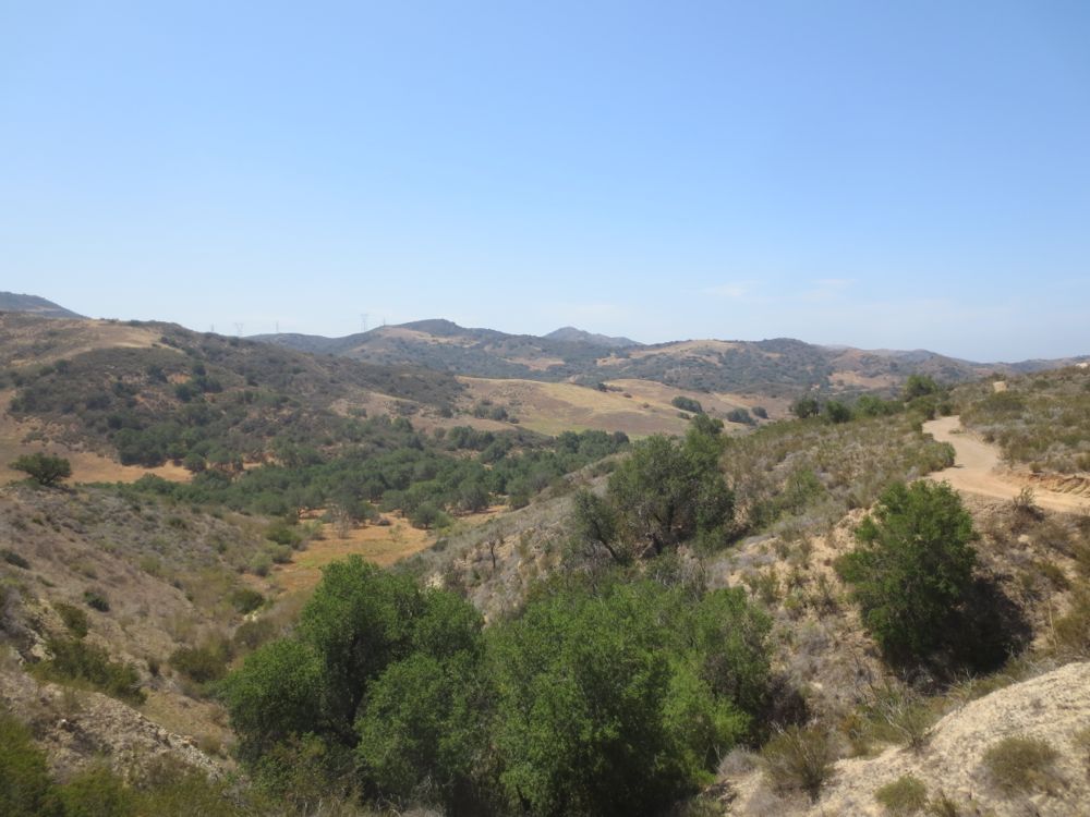
Weir Canyon is an unspoiled gem – a remaining vestige of lovely Coastal California – and after finding it seems to have been hidden in plain sight given its location adjacent to Anaheim Hills. Part of the former Irvine Ranch, the area was ceded to the public domain by the Irvine Company in exchange for the ability to develop as housing the surrounding Anaheim Hills area. The terrain consists of gently rolling chaparral covered hills and tranquil wooded canyon bottoms, and is actually quite scenic, pleasant, and uncrowded for such an easily reached place with free parking adjacent to the trail head. This hike takes you from the trail head down along the canyon side – public access to the canyon bottom is not allowed and is by tour only – on good trail, and then up and along the ridge above and back to the trail head, forming a nice loop that is good training for beginning and intermediate hikers. Weir Canyon Trail is now part of Santiago Oaks Regional Park, and the surrounding area contains a number of other trails that can make for a more challenging hike if so desired.
Directions to Trailhead for Weir Canyon Trail Hike

Detailed Description for Weir Canyon Loop Hike
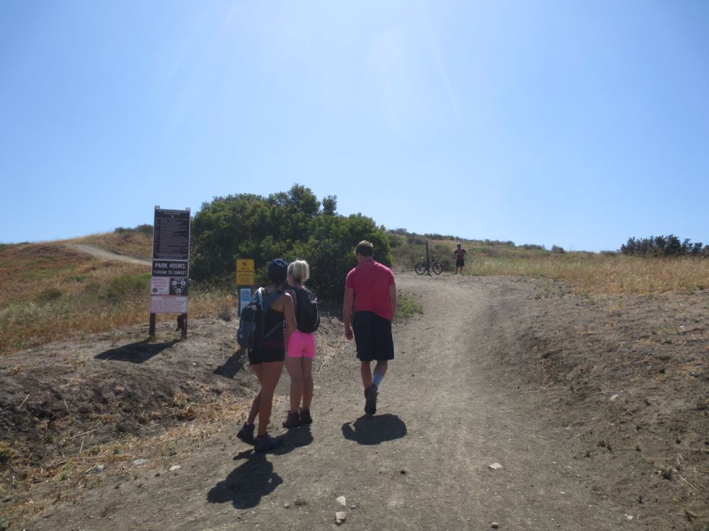
Once you have parked on the street at the signed trail head, simply head up the obvious trail.
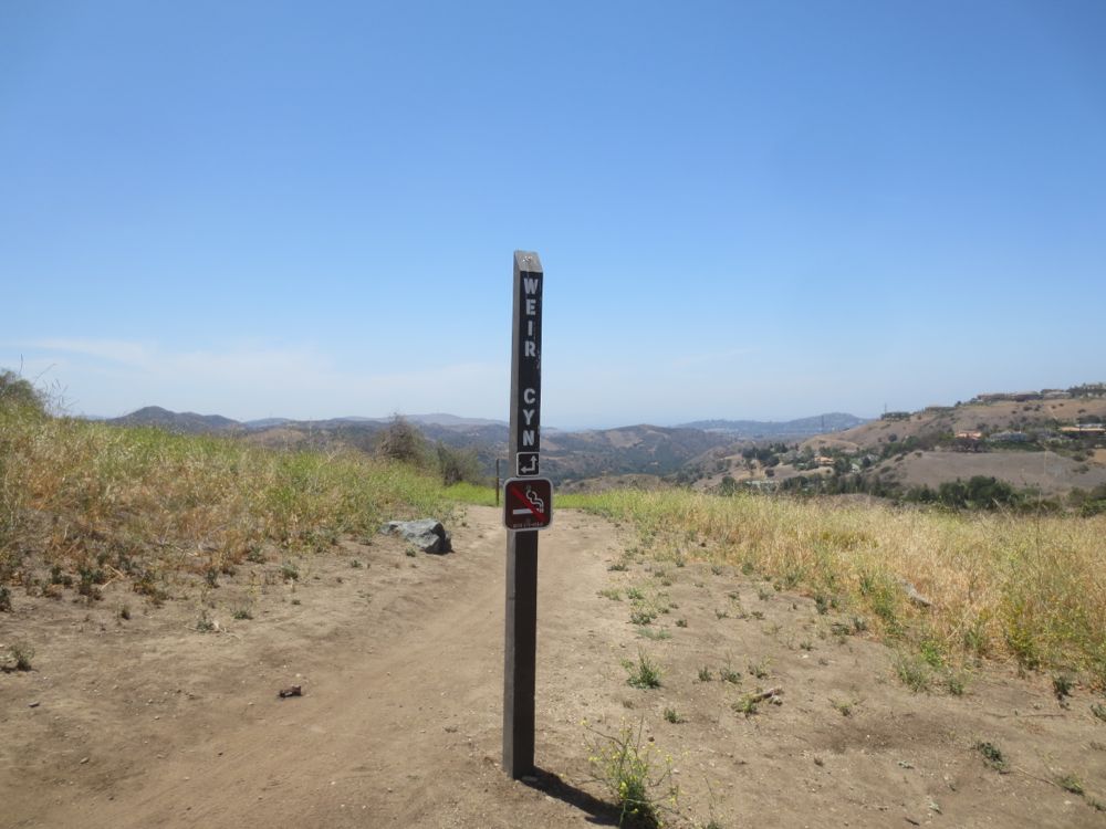
You will soon encounter a sign that simply says “Weir Cyn” and points in either direction, so you can take the loop either way. This hike goes to the right at the sign.
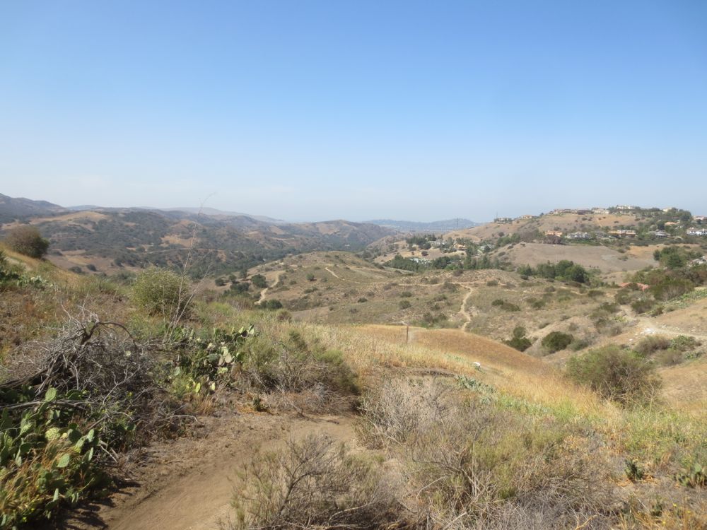
Soon you will descend a relatively steep slope, and encounter another sign that says “Old Weir Canyon” to the right. This hike goes right, which adds a small amount of mileage before rejoining the loop, so you can go either right here like this hike, or left if the slope ahead looks too steep. In either case you end up at the same place eventually.
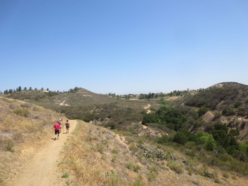
When you get to a junction at the top of the next slope stay left, because the trail straight ahead eventually drops down into the canyon but ends at a locked gate because access to the canyon bottom is restricted. Head left towards the canyon and soon back around the other side of your loop. Save some energy – the trail ahead is a little longer and more challenging than it might appear. Now you will traverse a number of ups and downs as you gradually move towards the ridge in the distance that will lead you back to the trail head.
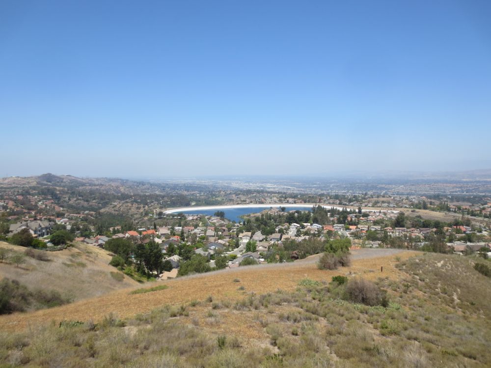
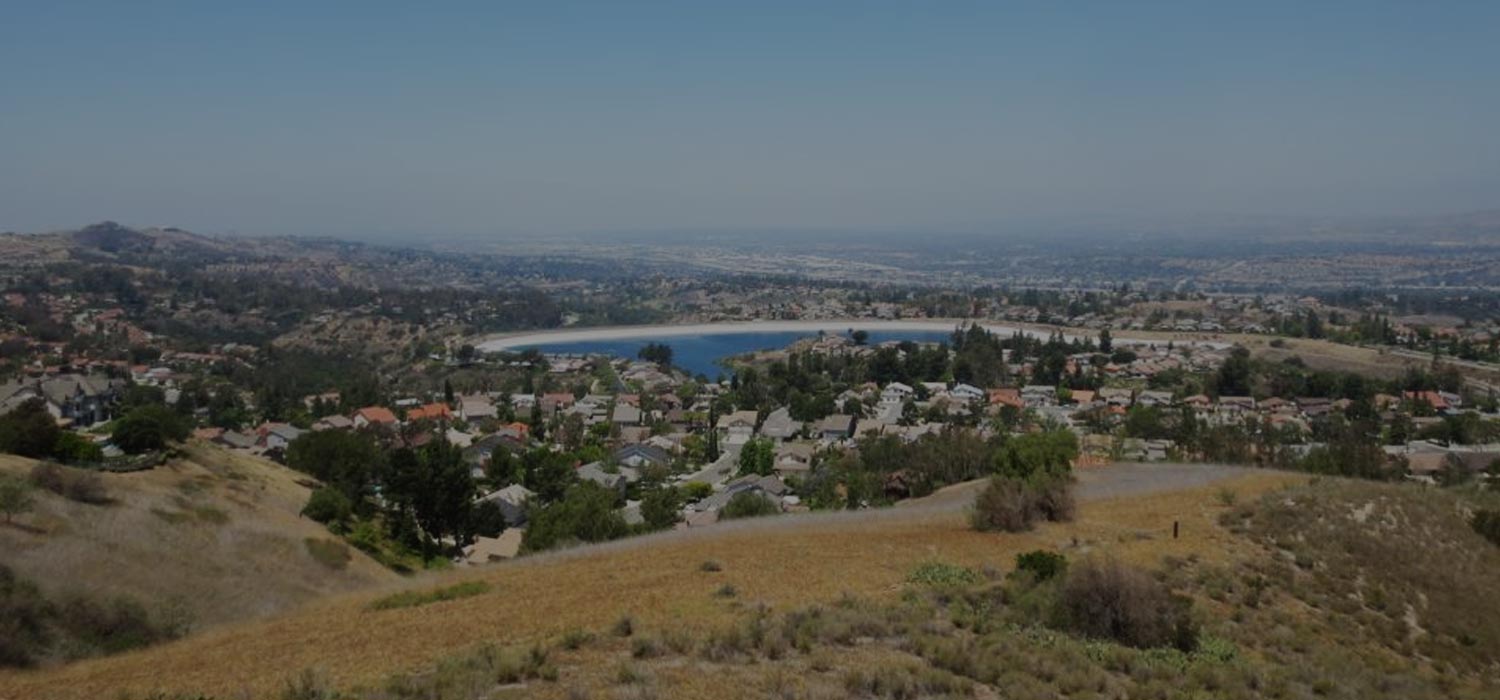
After you reach the ridge and head back around the other end of the loop, you will top the ridge which will now offer views both north and south. Especially noteworthy is the amazingly large Walnut Canyon Reservoir which is hidden in a housing tract below, and on a clear day this view with the beautiful San Gabriel Mountains behind it is worth the trek. Now you are close to the Weir Canyon trail head, so simply continue on until you reach your car.
