Ortega Falls via San Juan Loop Trail
Summary for Ortega Falls via San Juan Loop Trail Hike

Difficulty
Strenuous Adventure Hike – Read Adventure Hiking Page
Length
4.5 Miles Round Trip
time
3 Hours
Elevation Gain
750′
Summary
Great easily accessed adventure hike uses San Juan Loop Trail to drop into San Juan Creek, then strenuous off trail boulder hopping up the stream bed to 35′ Ortega Falls.
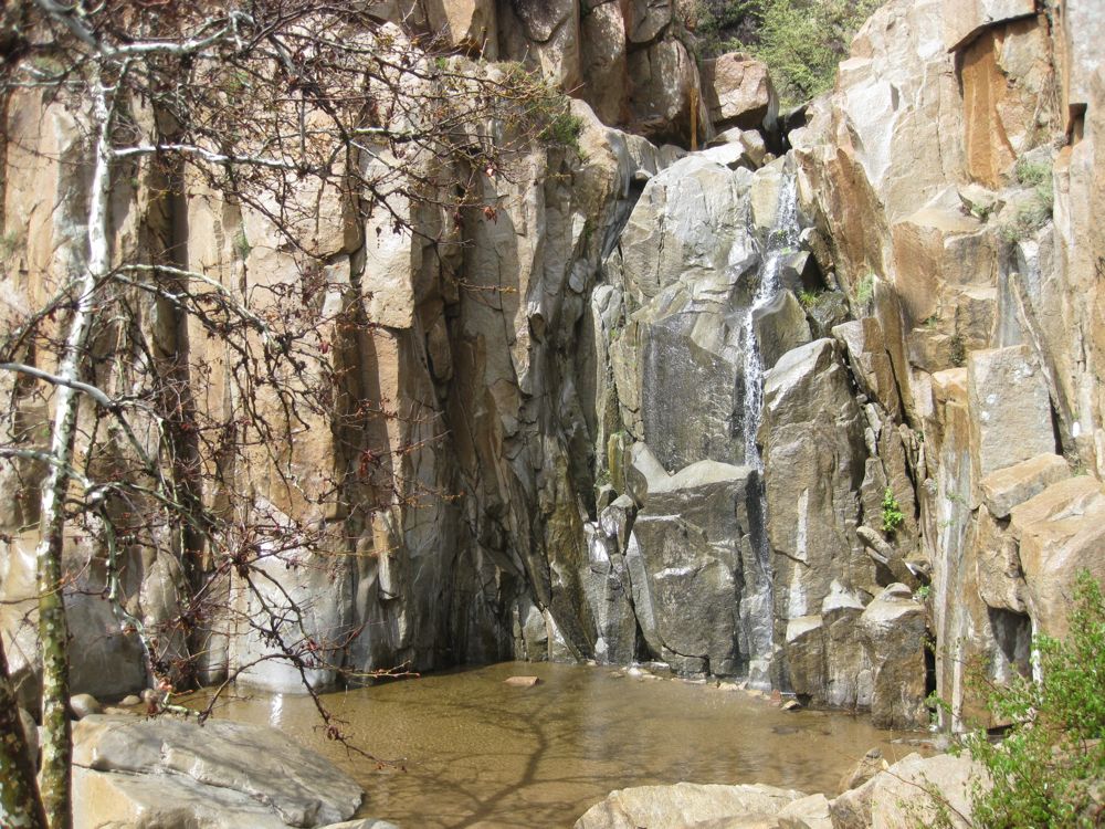
In this hike you drop off the San Juan Loop Trail about half way in, then travel up the stream bed of San Juan Creek off trail to Ortega Falls, which has a parking area only .25 mile or so away on Ortega Highway making it a popular spot, especially on days when the water is flowing. You will almost without question though, be the only one accessing the falls using the wild route up the creek. Water flow at the falls and in San Juan Creek varies dramatically with season, and it is often dry in the summer and fall, though there can be a significant amount of water in the winter. Note that traversing the San Juan Creek bed is actually much easier when it is dry, and it can be a significantly greater challenge when there is a lot of water. You may have to wade through sections, and there are some small waterfalls to climb as well.
Directions to Trailhead for Ortega Falls via San Juan Loop Trail Hike

Map of Ortega Falls via San Juan Loop Trail Hike with Downloadable GPX File
Detailed Description for Ortega Falls via San Juan Loop Trail Hike
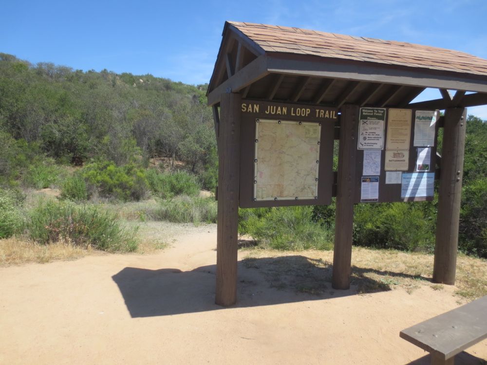
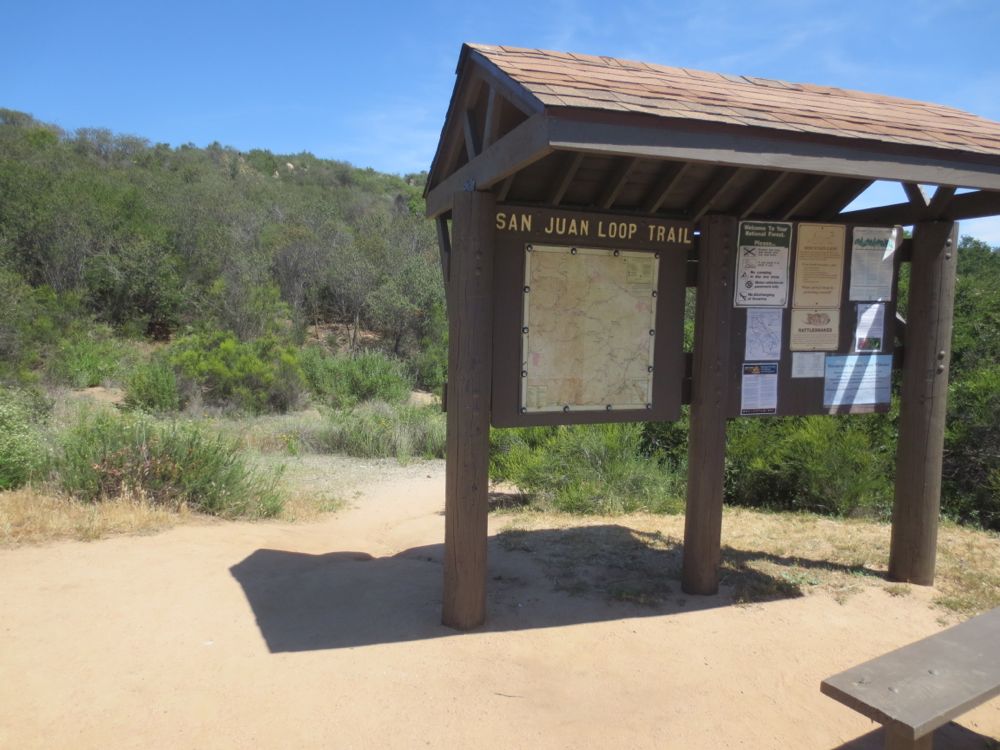
Walk to the large trail head sign at one end of the parking lot. A map showing your position and a large portion of the surrounding area is displayed here, so it’s a good opportunity to get your bearings and become more familiar with the mountain terrain.
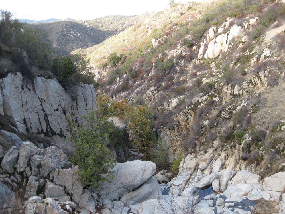
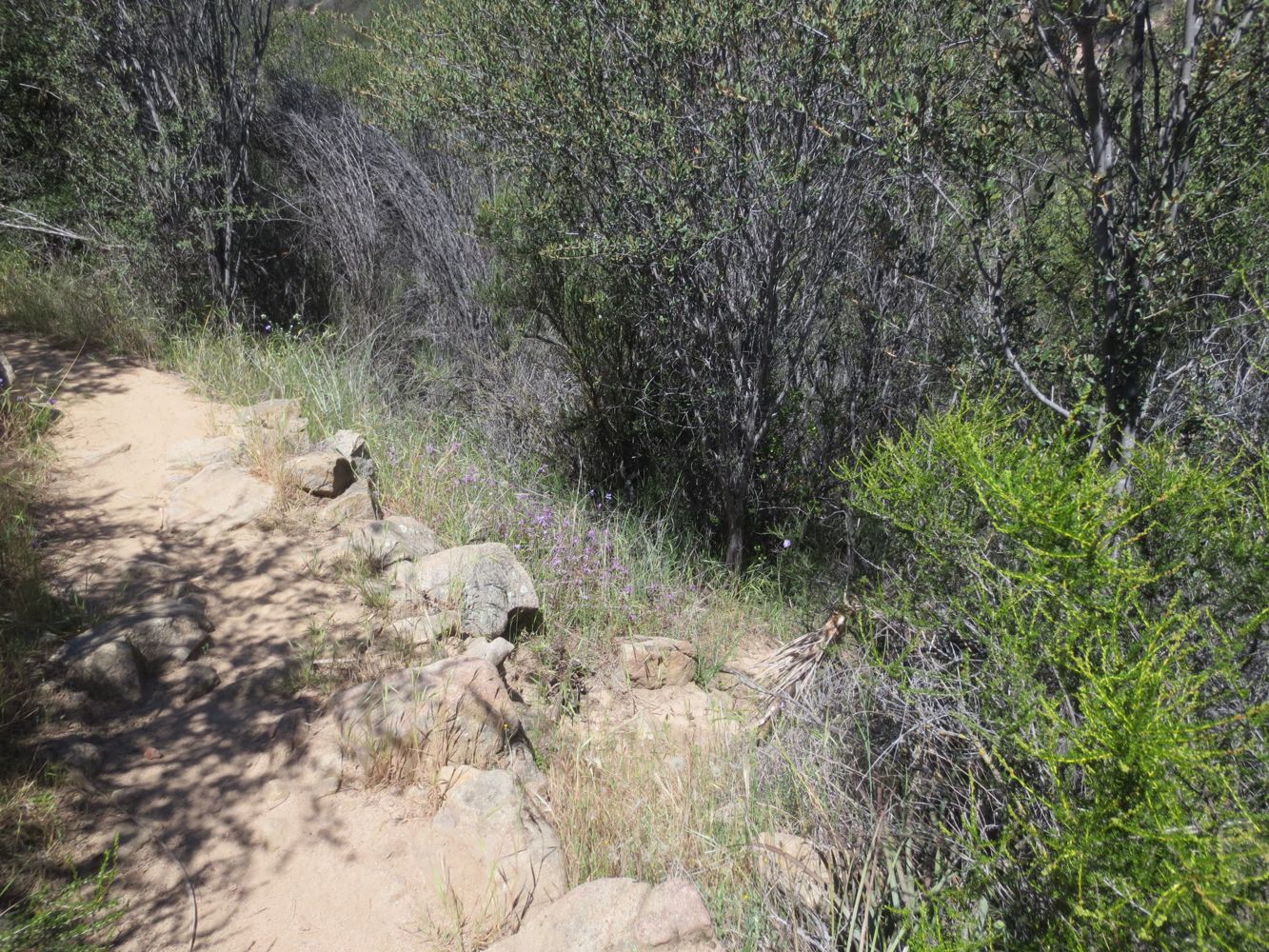
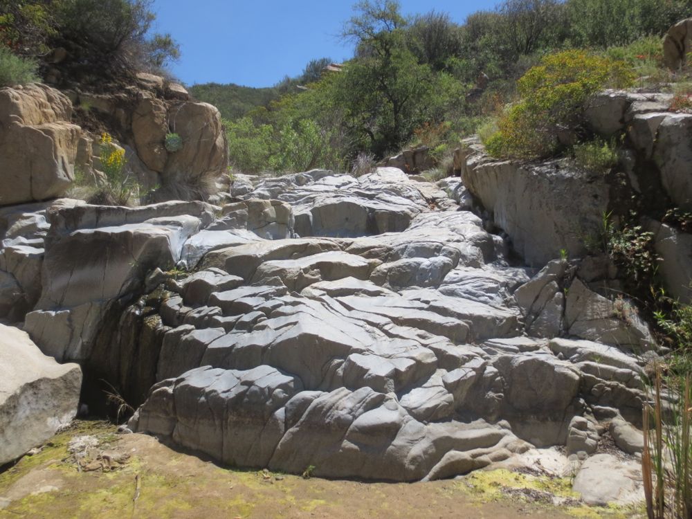
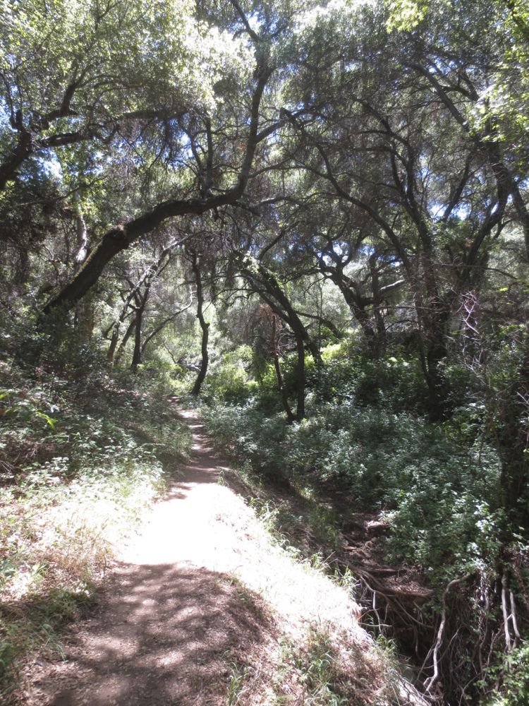
Now simply walk down the well graded though sometimes rocky trail behind the sign. You will enter the forest right away, but the trail is always obvious. Soon the trail will turn to the left and descend along Morrell Creek as it begins its precipitous drop into the gorge of San Juan Creek, which you will reach in another mile or so. Note the lovely carved granite segment ahead and below.
If you are here in a dry time, it should be clear from the extent of the carving and polishing of the granite that water flow is great at certain times of the year, and this should be an inducement to come back then. I personally enjoy seeing an area at different seasons, because whether dry or wet the terrain is real and natural, and to become a mountaineer one must understand the mountains in all seasons.
A railing above the 20′ falls offers a view down, and it is also possible to climb down to the falls, but be very careful if you try this as the rocks can be slippery and dangerous. Now continue on your way. The trail turns to the left above the creek, and soon you will enjoy wonderful views of the beautiful canyon of San Juan Creek. The trail now drops more steeply as it switchbacks down a long slope towards the creek below.
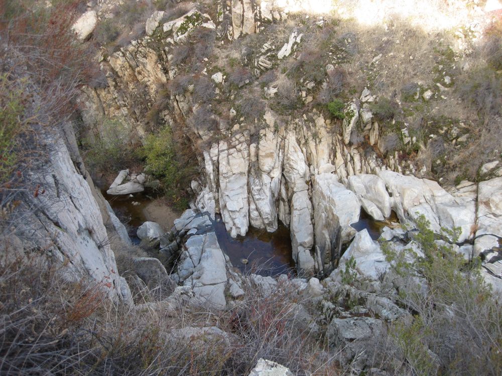
Watch for a spot where the trail comes close again at the end of one switchback to the gorge of Morrell Creek, as there is another 25′ waterfall hidden in the gorge – you can hear it clearly during times of high water flow. Be careful if you try to move to the edge of the gorge on a short use trail to see it – note that there is no easy access to this fall and you must go up or down the gorge off trail to get to it.
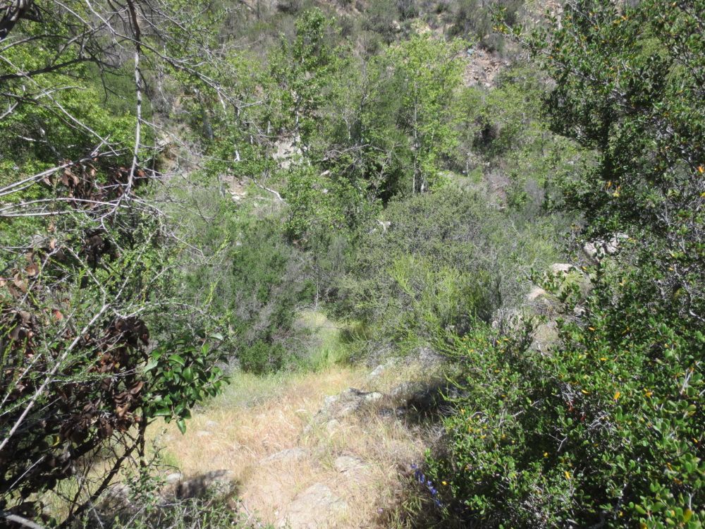
After turning left and once you are close above (50′ or so) and parallel to San Juan Creek, you will want to keep an eye out now for a couple small use trails that will lead you down to the main creek bed. If you miss the use trails, the trail you are on will hit the creek bed in about .25 mile, but you will then have traversed an extra .5 mile once you head back up the creek to this point, so try to avoid this and drop down to the creek bed.
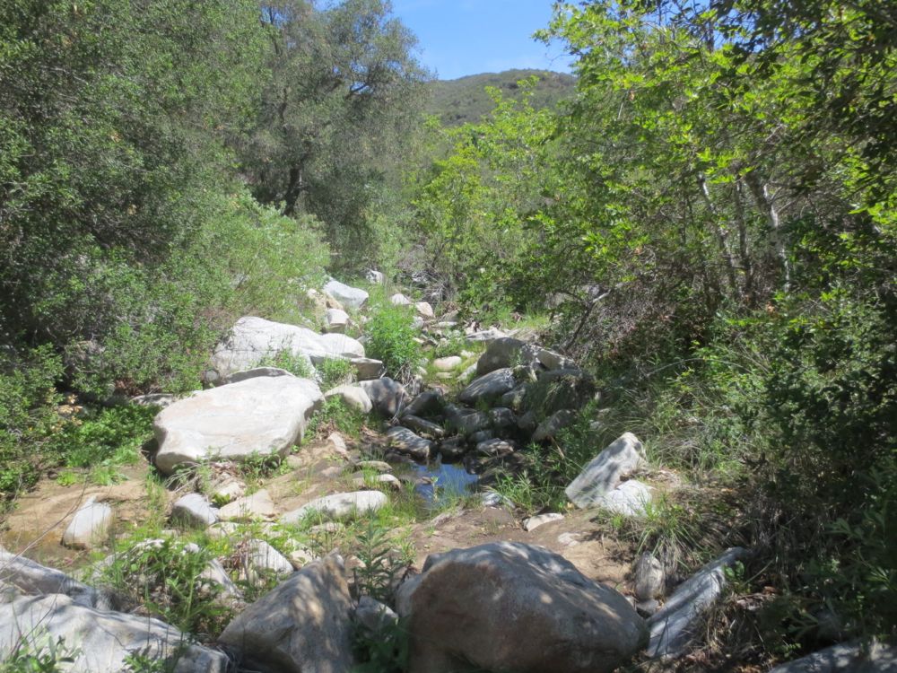
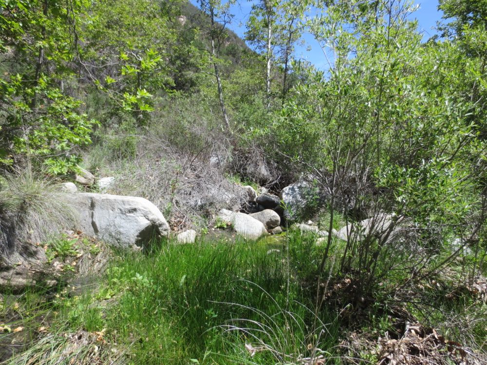
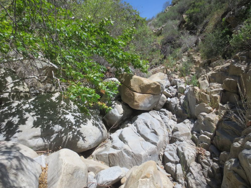
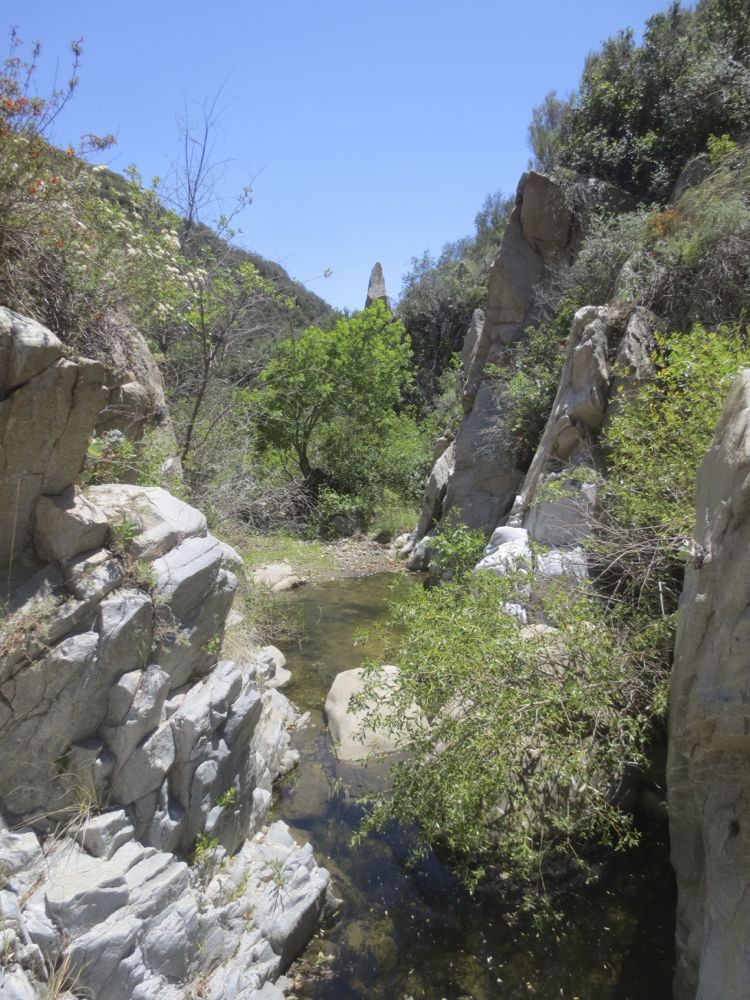
Once you have hit the creek bed, mark your spot with some trail ducks to remember this spot. Now turn right to go up stream. The falls are about 1 mile from here, but it’s a fun and challenging mile. If there is little or no water in the creek your task is fairly simple – stay in the creek bed and go upstream, picking your route over and through the boulders. If there is significant water your hike will be much more challenging. Note that this lower segment is the flattest and most brushy area of the hike. You can either walk in the stream itself or pick your way along the side as best you can.
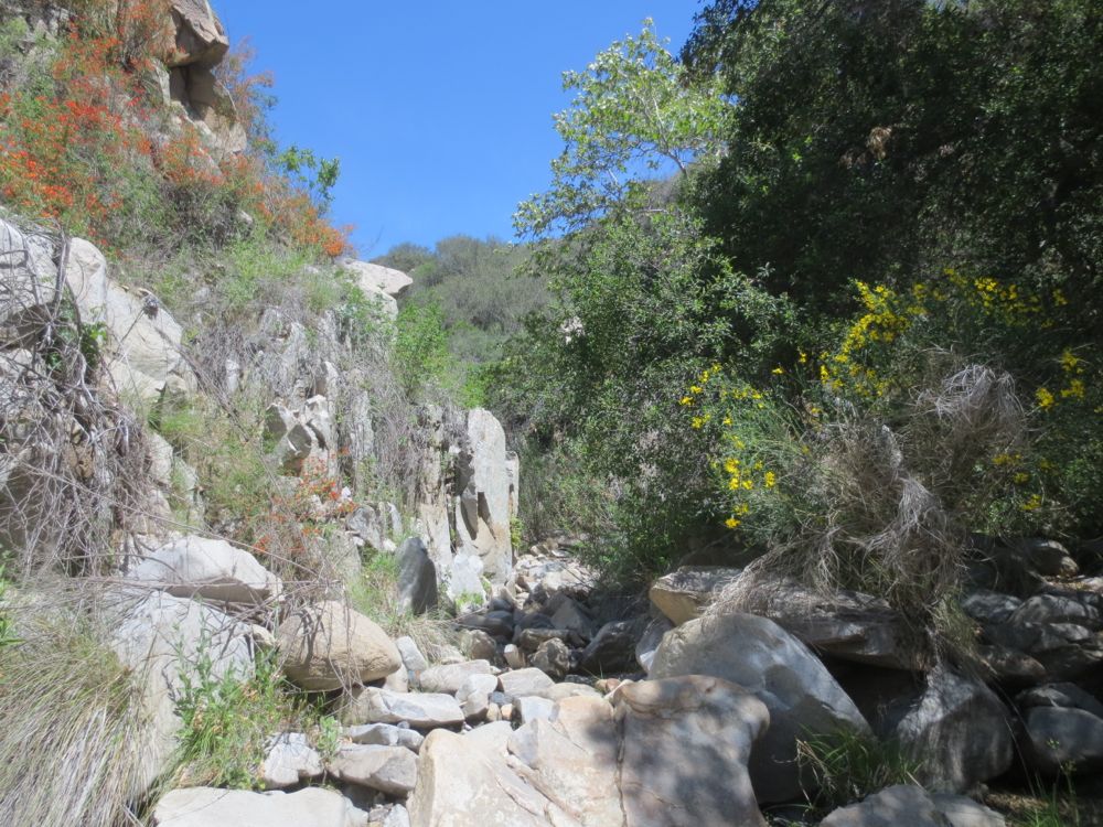
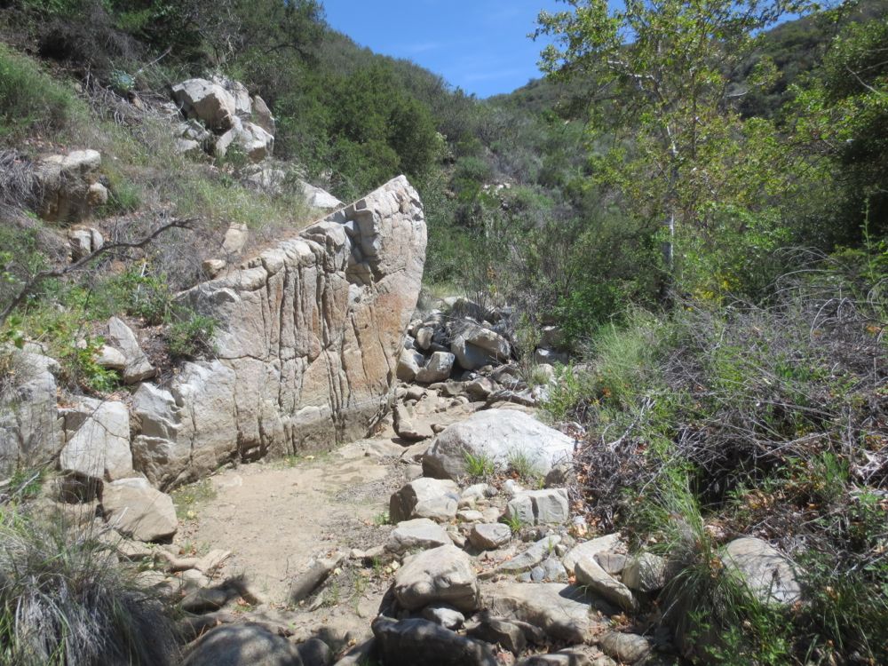
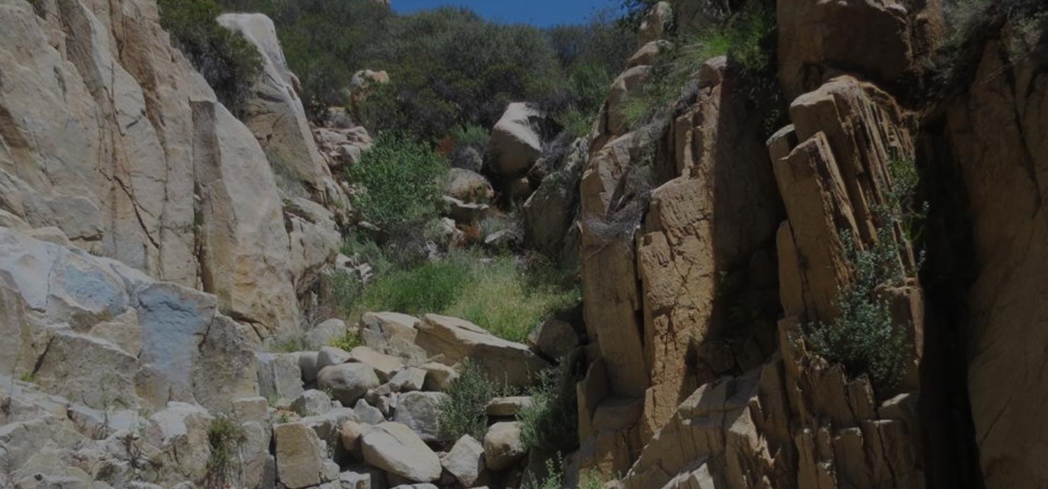
After a short distance you will start to see the terrain change as the stream bed narrows and you encounter the first of many carved granite segments. These are what makes the hike fun, and most people just see the brushy stream bed initially and don’t realize that there is much less brush and an an abundance of lovely granite ahead.
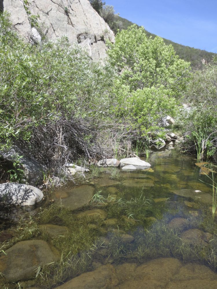
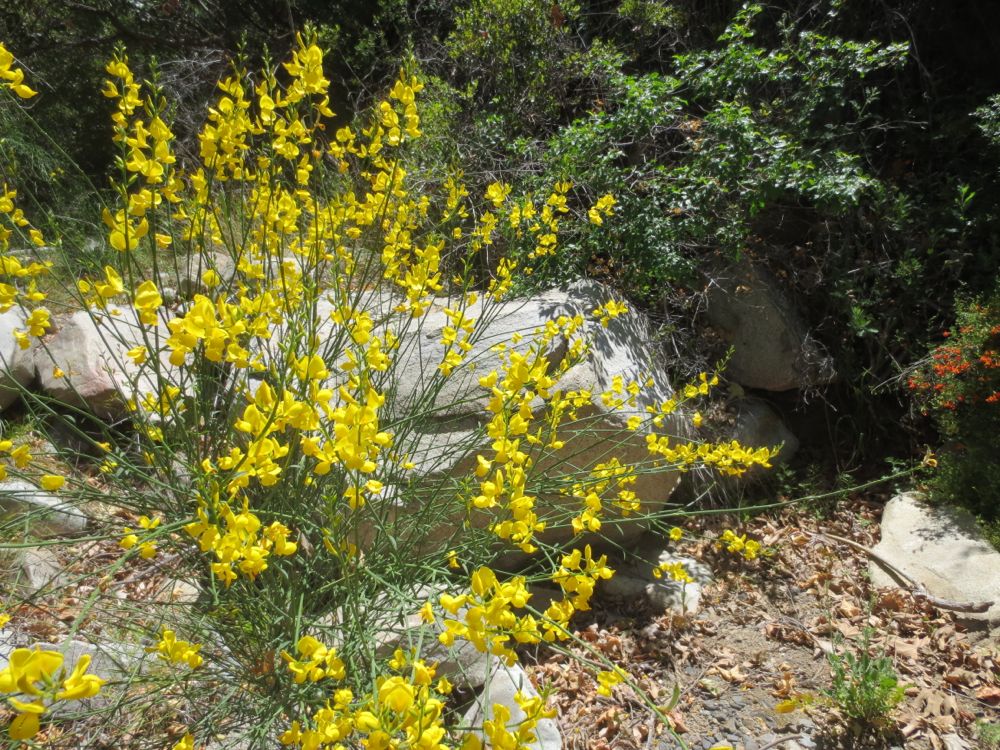
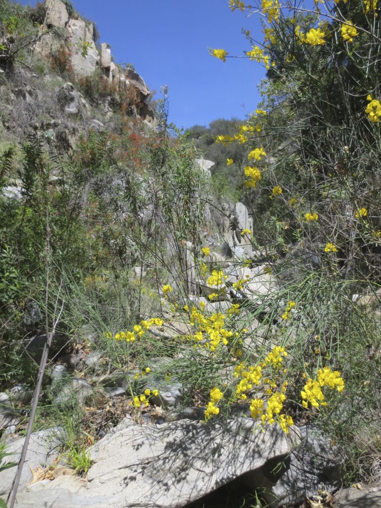
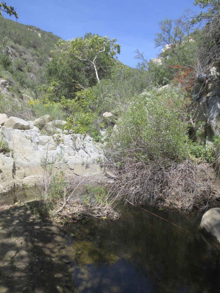
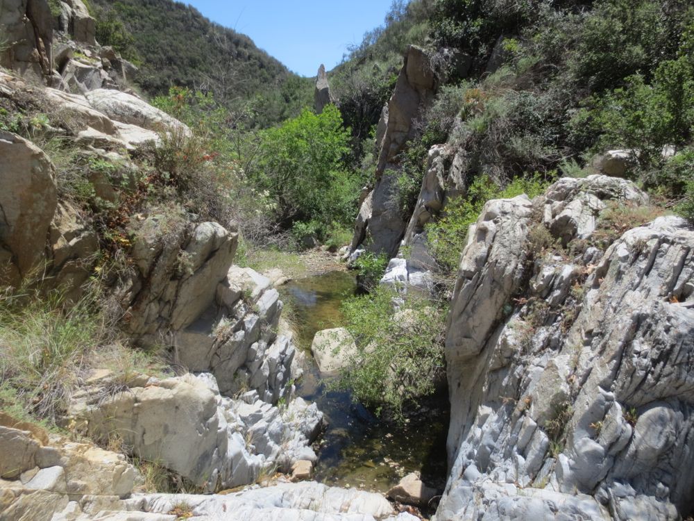
You will negotiate some beautiful pools and small falls, and the wildflowers are particularly lovely in the springtime here. It is almost impossible to not get wet if there is a significant amount of water, and sometimes wading may actually be safer.
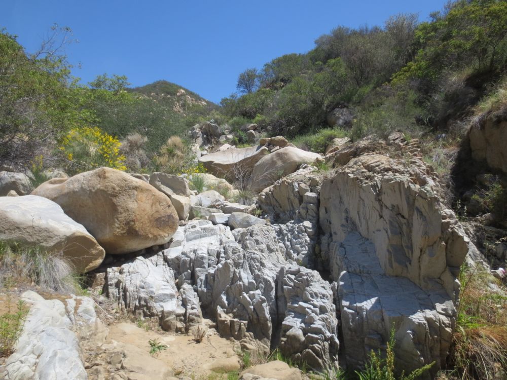
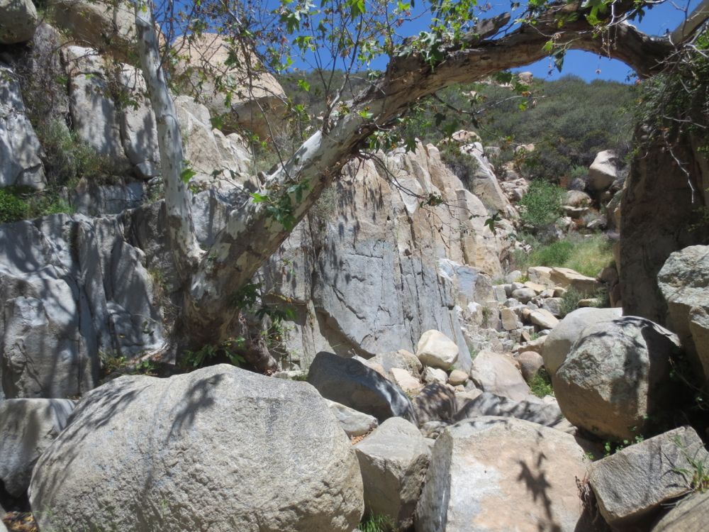
Soon the terrain changes a second time, as you turn to the left, and the canyon narrows again, becoming steeper as you enter a small gorge. Now you will climb even more, and traverse larger and more beautiful granite segments.
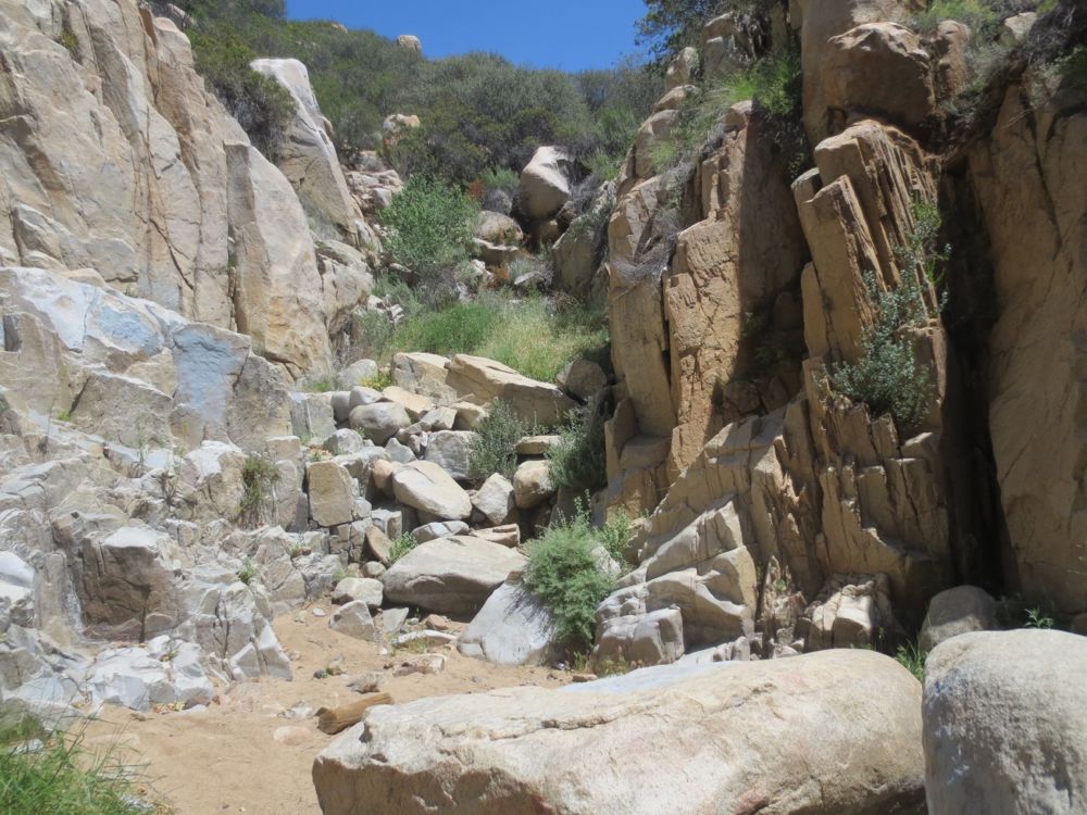
After another 20 minutes or so you will encounter an even larger and more dramatic segment of granite walls, and you are now close to Ortega Falls.
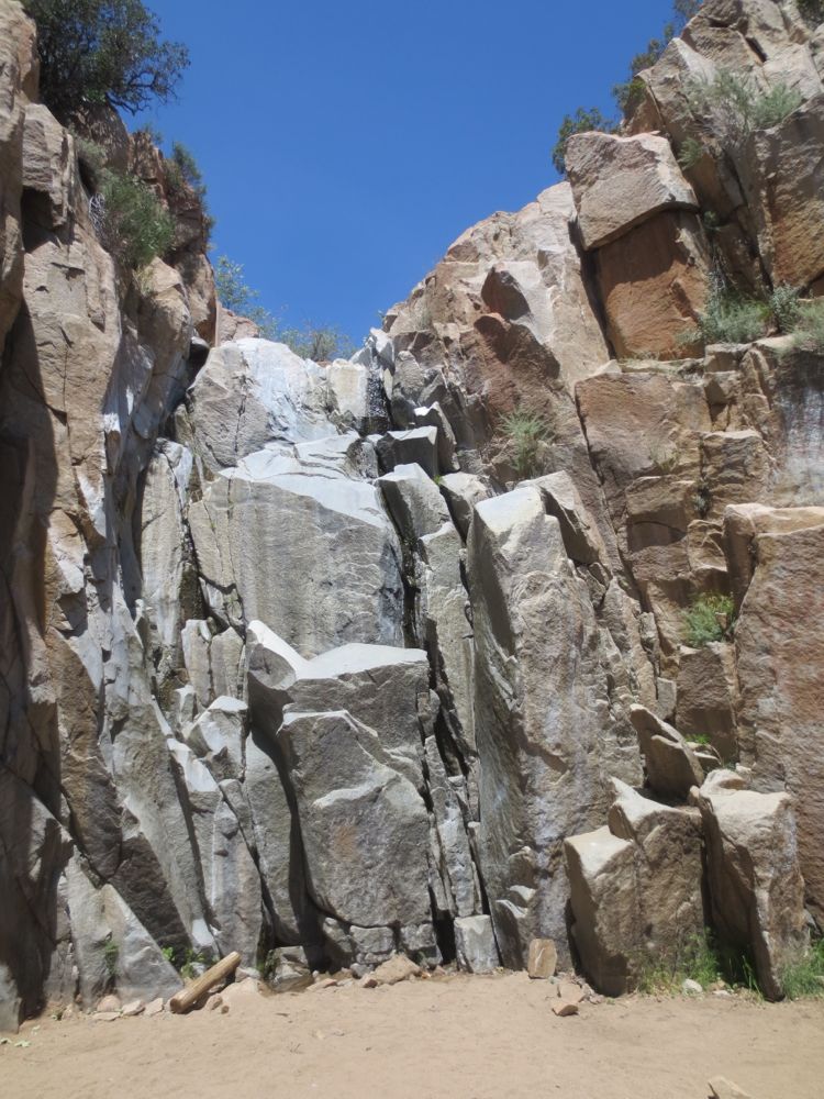
After climbing some wonderful granite and negotiating a couple other 20′ or so waterfalls, you will now encounter 35′ Ortega Falls. Note that you will know when you have hit the falls or not, because it is a sheer wall blocking further access up the canyon. There is a pool below the falls, but if there is water you will have passed some nicer pools with no people on your journey, so you can decide whether to stay here if it’s crowded, or go back to some other nice spot to rest and have your lunch break. Once you are ready you will retrace your steps to the point were you dropped into the San Juan Creek bed originally.
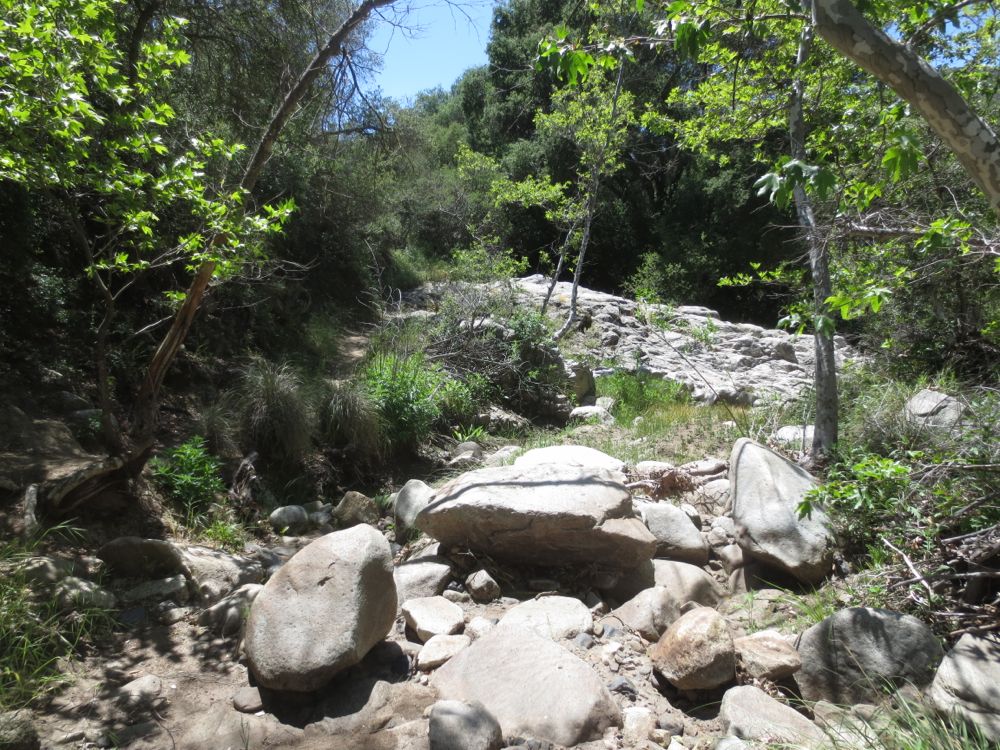
Once you have returned to your drop in point (you remembered to mark it, right?) you can either go back up to the trail and turn right to continue the loop on trail, or continue on down the stream bed about another .25 miles – either way you end up at the same place – to well chosen spot where the trail comes directly next to the stream. There is a large granite segment here that comes across the stream forming a small waterfall and pool and offers some granite slabs for sitting and resting.
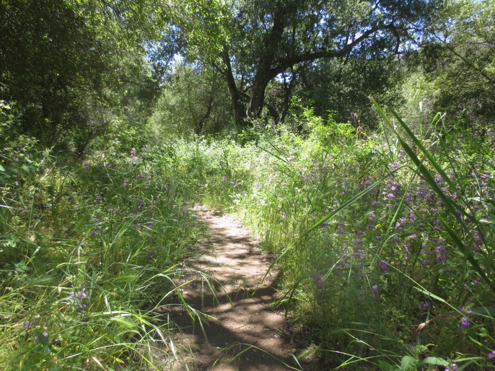
After you are ready to proceed simply continue on, now through a segment of old growth oak forest. Here in this more wet and lush environment at the canyon bottom you will often find stunning displays of colorful wildflowers, particularly in spring time. After a short distance you will encounter some trail junctions going off to the right, and at one junction a sign indicating the Chiquito Trail. At any junction simply stay straight ahead to the left. The Chiquito Trail goes for a long distance, traveling up and over the ridge to the north of San Juan Creek and then dropping into wild Lion Canyon, eventually connecting with the San Juan Trail, but this is many miles so if you decide to go that way know what you’re doing and be prepared. For purposes of this hike continue on the San Juan Loop Trail.
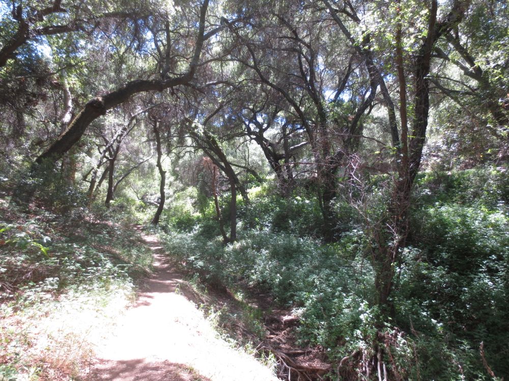
You will turn left along a flat segment, and then hike up through another small stunning canyon that’s a tributary of San Juan Creek – this is Bear Canyon, and features a truly marvelous Tolkienesque old growth oak forest. Soon you will see Ortega Highway on the opposite side of Bear Creek, as the highway rises from San Juan Creek at this point. The Upper San Juan Campground which sits between bear Creek and Ortega Highway shortly comes into view, and you will skirt its edge, eventually passing it and staying to the left following a sign to stay on trail. Now the trail climbs a relatively steep and eventually exposed grade, as you begin the steady grind that leads you back up the ridge to the parking lot and to your car.
