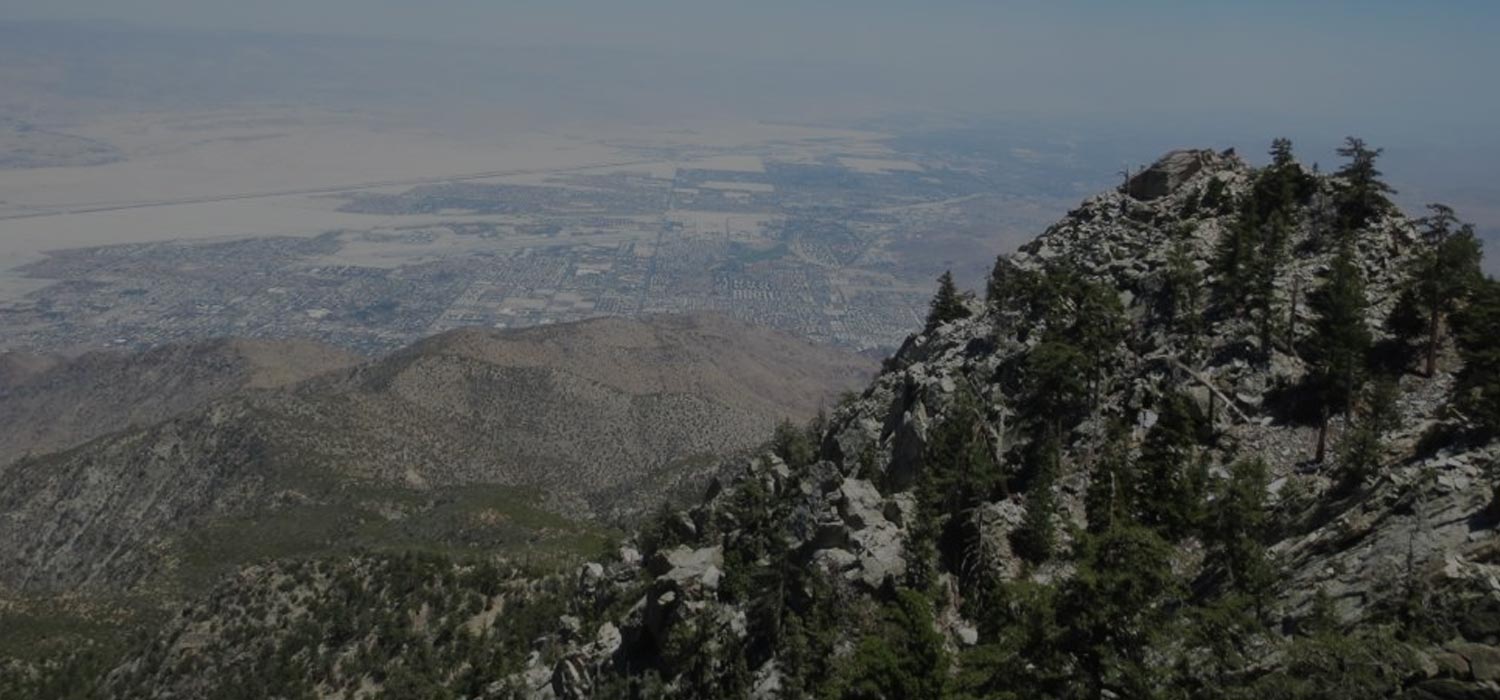
Long Valley Short Adventure Hike
Summary for Long Valley Short Adventure Hike

Difficulty
Moderate Adventure Hike – Read Adventure Hiking Page
Length
3 Miles
time
1 – 2 Hours
Elevation Gain
500′
Summary
Hike to then boulder hop a short way down a wondrous alpine gorge, then hike back and climb up to a spectacular viewpoint, all within a mile or so of the tram.
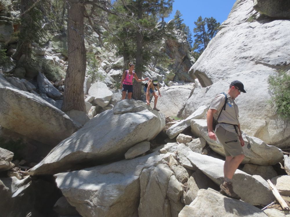
The Long Valley short adventure hike originates at the Mountain Station of the Palm Springs Aerial Tramway at an elevation of 8,516′. If you have not experienced the tram before, it is a wonderful adventure in and of itself, as it originates in the desert and transports you in comfort up a spectacular rugged canyon to the alpine wonderland of Mount San Jacinto State Park and the San Jacinto Wilderness. The hike travels down a well used and popular nature trail, but then veers off down a mountain creek into a fantastic alpine gorge, returns back to the trail, and then climbs some cliff segments adjacent to the trail for spectacular views to the desert floor 8,000′ directly below and far-reaching vistas to the east, north, and south, before traveling a short distance back on trail to the tram station.
Directions to Trailhead for Long Valley Short Adventure Hike

Map of Long Valley Short Adventure Hike with Downloadable GPX File
Detailed Description for Long Valley Short Adventure Hike
Begin your hike at the Palm Springs Aerial Tramway Mountain Station by proceeding out of the station and down the steep concrete path that leads to the valley floor below.
At the bottom do not go straight ahead towards the trails that lead into the San Jacinto Wilderness and Mount San Jacinto. You will note signs that denote trails to your left, and offer a choice of Desert View Trail or Nature Trail. Choose the Nature Trail which breaks to the right on a gently graded trail, and follow this down Long Valley Creek, which by the way explains why this hike was named Long Valley short adventure hike. This lovely creek flows nicely except in the summer and fall, when it may dry. Note the volume of water in the creek, because if it flows too strongly, you may have to abort your journey into the gorge ahead.
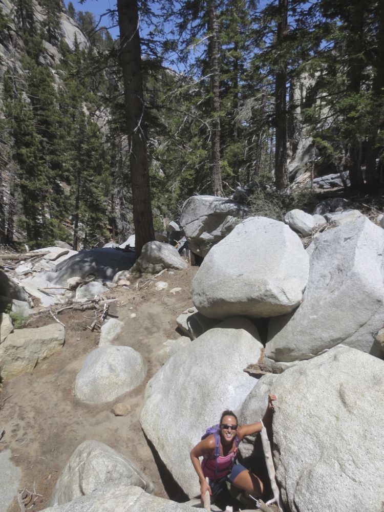
You will soon encounter a bend in the trail as it turns to the left (east), crosses the creek on a small bridge, and heads up the ridge on the opposite side. This is your off trail departure point. Here you will simply follow the creek, and now the hike becomes and adventure hike, so be careful since you are no longer on maintained trail. The creek makes a turn ahead to the left (east) and begins its descent down a dramatic and rugged alpine gorge. You must judge carefully here because the flow of water can vary dramatically depending on conditions from none at all in summer to dangerous levels after storms or during spring snow melt.
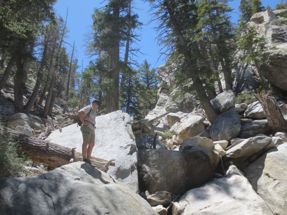
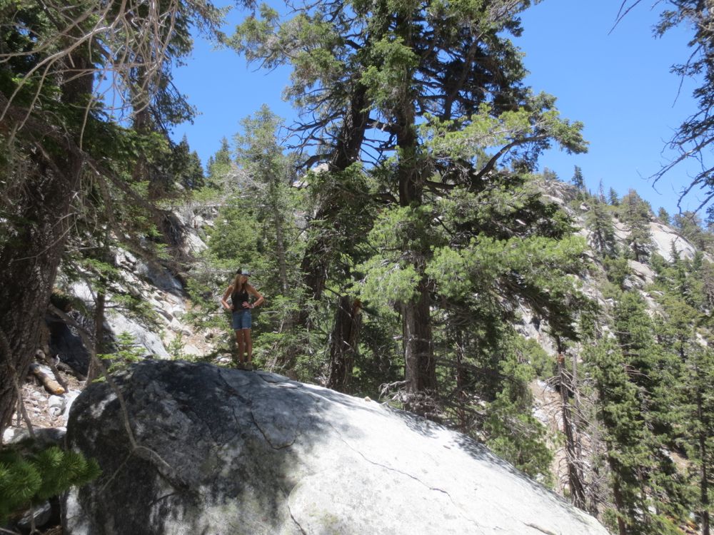
Descend the gorge as appropriate to you skill level and time allowed. Be advised however, that climbing out takes considerably more energy and time than climbing down. It is easy to be seduced by this remarkably beautiful alpine gorge. Note that it is essentially impossible to travel out of these mountains down these gorges without technical gear and training – since they are so steep one eventually winds up in an impassable situation, thus trapped. This hike travels down canyon only a half mile or so, allowing plenty of time for you return. However it’s a beautiful place, especially when the water is flowing, and the gorge turns into a magical alpine wonderland of cascading waterfalls, aromatic pines, and soaring granite cliffs.

Once you have turned around, retrace your steps back to your off trail drop in point and continue on the trail – to your right now – as it begins to ascend the ridge. You will climb a ways and then encounter a dramatic signed notch with great views – you can stop here but the vistas from our secret destination ahead are vastly superior.
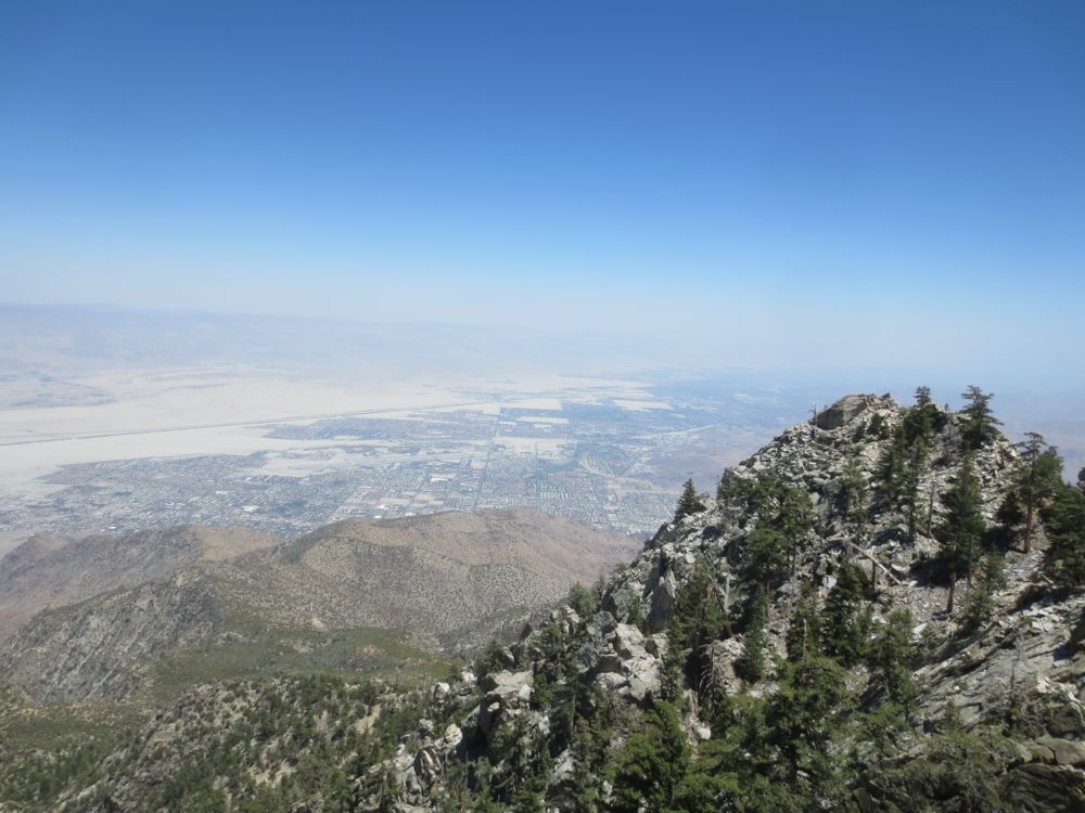
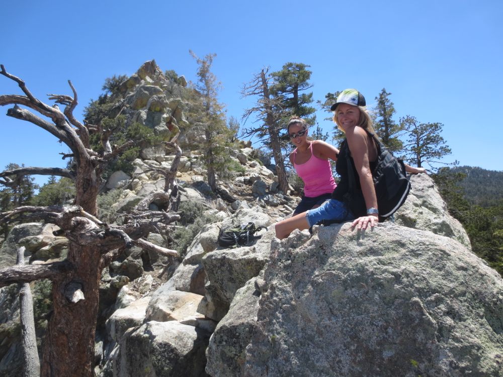
Trudge on ahead and you will shortly crest a ridge, and then drop slightly to another signed notch. The granite formations to your right of the notch are the vista spot. Note the steep use trail to the right of the notch that climbs the scree and dirt slope towards the solid granite formations about 100′ above and ahead. Carefully scramble up the loose slope to the rock formations above, where you will be greeted by truly spectacular views.
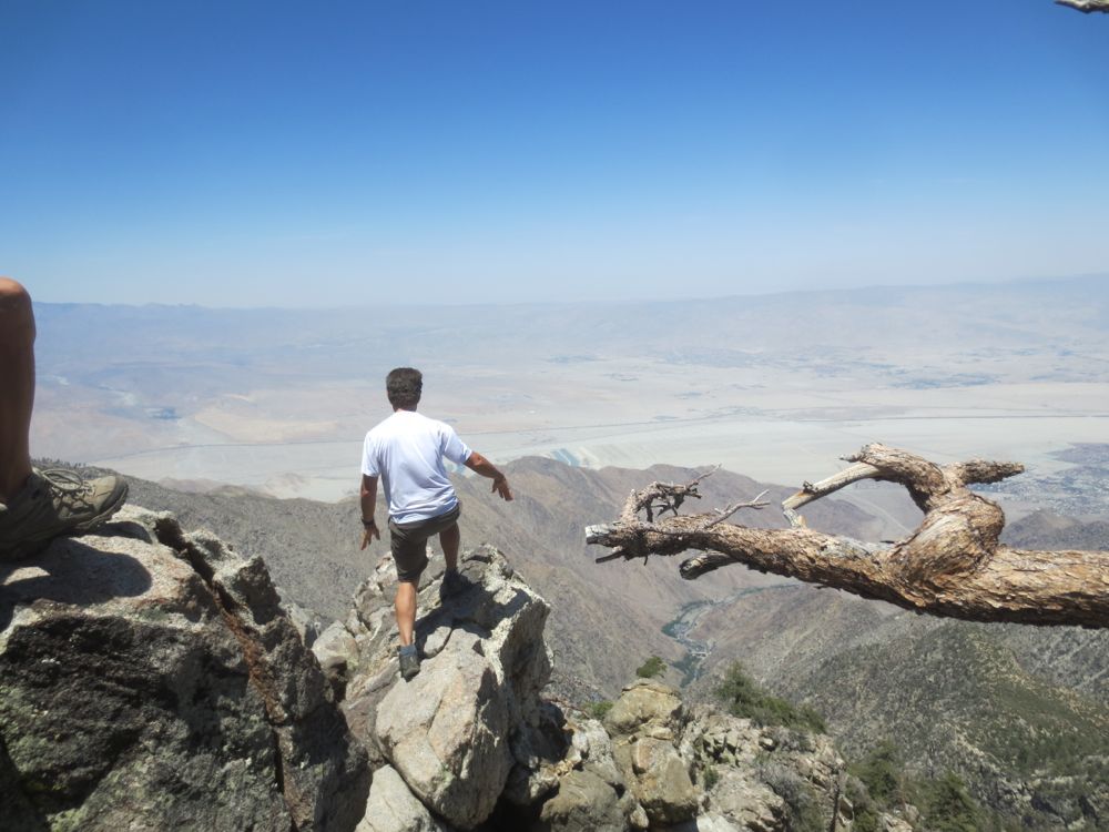
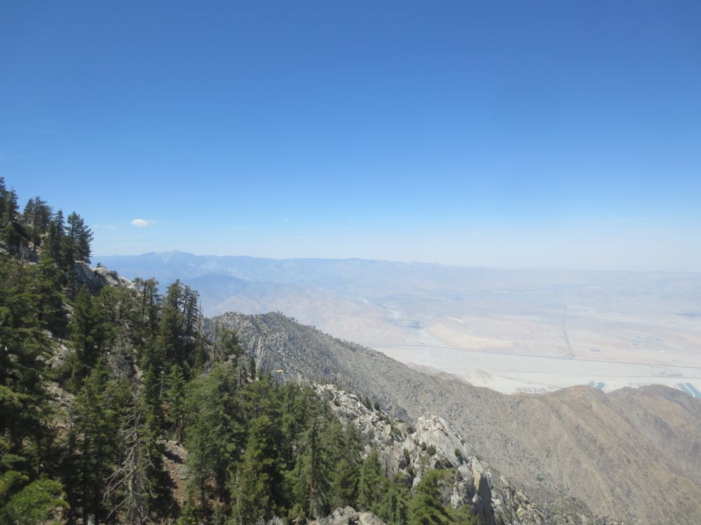
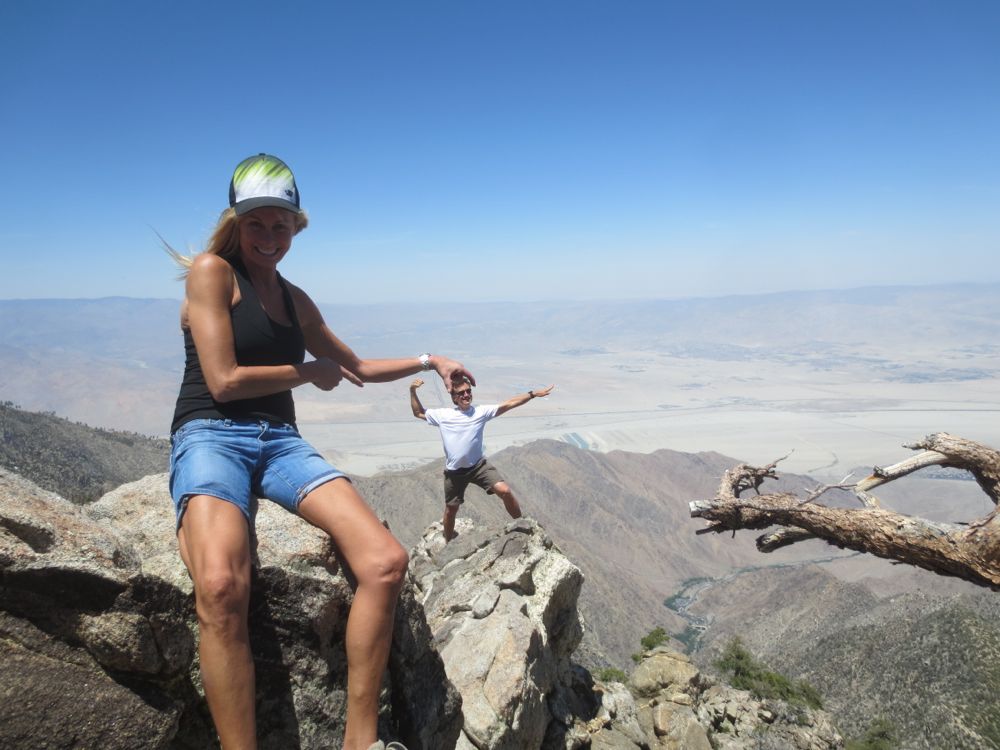
You can climb out a short distance on the cliff to the left – if you are adventurous and skilled in climbing – for a stunning perch that would be the envy of any eagle. Note that you can see the San Bernardino Mountains including 11,500′ Mount San Gorgonio to the north, the Little San Bernardino Mountains on the border of Joshua Tree National Park to the northeast, and Palm Springs and the Coachella Valley to the east. It’s a jaw dropping spectacle, and one to be savored. After you have enjoyed these magnificent vistas, return to the notch below, and continue along the trail, downhill now, and then to the right and back to the trail head. Now you complete the Long Valley short adventure hike by taking the very steep concrete walk way back up the Mountain Station.

