Switzer Falls
Summary for Switzer Falls Hike

Difficulty
Easy to Moderate
Length
5 to 6 Miles Round Trip
time
3 to 4 Hours
Elevation Gain
750′
Summary
Hike into a historic canyon to see a wonderful 50′ tall waterfall in a beautiful wooded gorge with great views and numerous pools and cascades. Nice, popular trail with optional off trail segment up-stream to reach base of Switzer Falls.
This is one of the most popular hikes in the San Gabriel Mountains, in part because of the easy access, ample parking, and great trail, but also because it is a truly lovely area with a great deal of natural diversity, and a storied history as well. The area that is now the picnic ground at the trail head was the site of a long-lived and immensely popular wilderness resort.
According to noted mountain historian John W. Robinson, Commodore Perry Switzer developed a trail resort called Switzer’s Camp in 1884, which was many years before the construction of the Angeles Crest Highway. Switzer led a burro train with resort visitors twice a week up the Arroyo Seco on a long trail to the camp. Switzer’s Camp became the most famous wilderness resort in the San Gabriel Mountains, attracting visitors from near and far. There were many notables who signed the guest register, among them Henry Ford, Clark Gable, Mary Pickford, and Shirley Temple.
Once the Angeles Crest Highway – which incidentally was constructed using prison camp labor – was completed, the allure and unique nature of Switzer’s Camp was lost. The resort struggled for a number of years, but was eventually closed, and the buildings were removed in 1959.
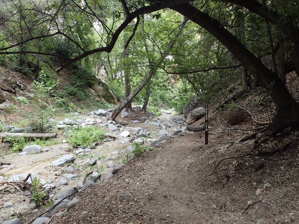
This hike takes you on good trail down the beautiful canyon of the Arroyo Seco stream, then on trail above Switzer Falls for a scenic view of the falls and canyon, and back down trail to the stream. At this signed trail junction you can choose the optional off trail scramble up the stream bed to the base of Switzer Falls, or continue down the Arroyo Seco stream bed on the signed and maintained Bear Canyon Trail into a lovely wooded paradise along the tumbling stream with its small cascades and large, deep pools.
Directions to Trailhead for Switzer Falls Hike

Detailed Description for Switzer Falls Hike
Once you have turned into the signed parking lot on the Angeles Crest Highway, proceed down the access road to the lower parking lot, where the trail head is located. Note that this is a popular trail and includes a picnic area near at the trail head, so it can get crowded, especially on nice weekends. If this lower lot is full, you will have seen that there are two overflow lots, one on the way down, and one at the entrance off the highway, so go back up there find a spot, and walk back down to the trail head.
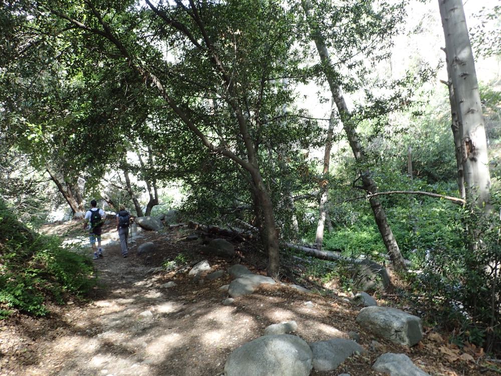
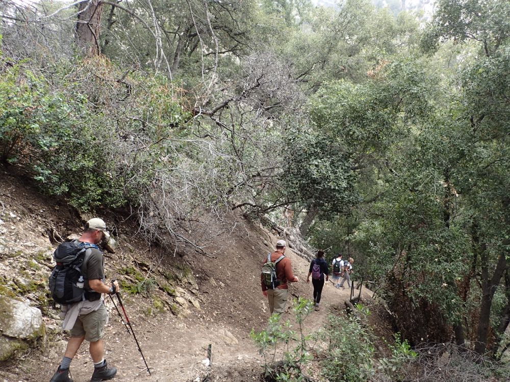
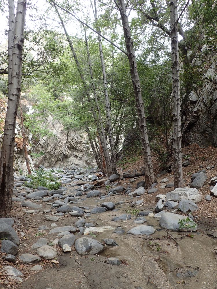
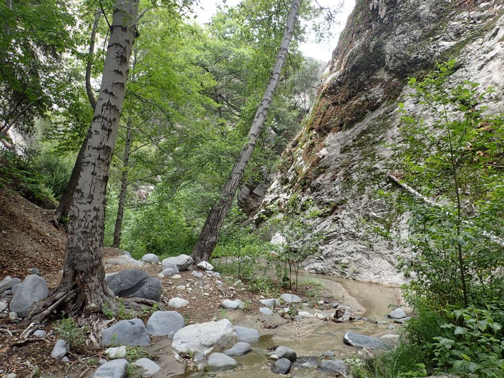
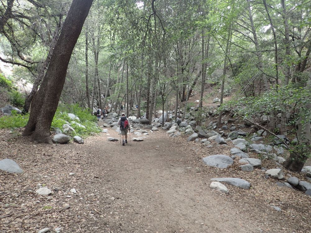
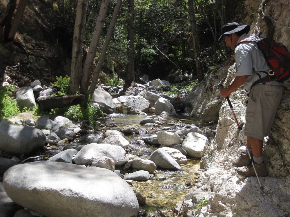
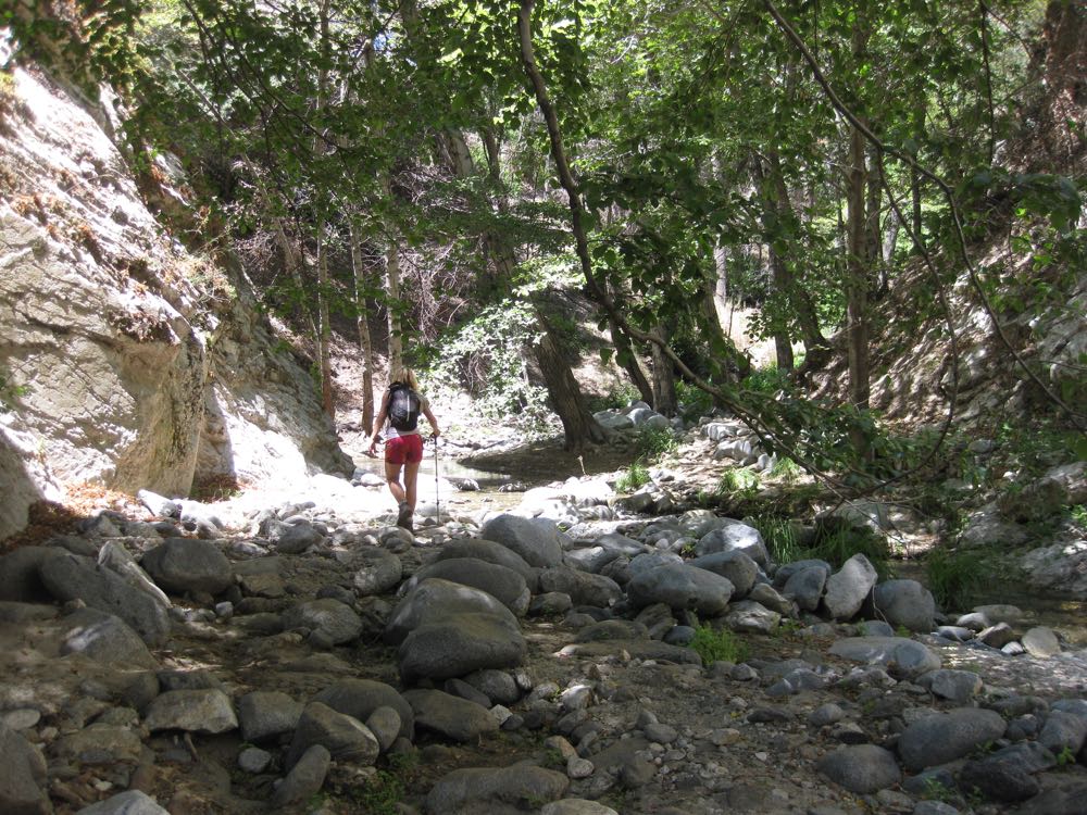
Now you will cross the bridge over the Arroyo Seco stream and head down stream along the trail. The canyon features many old growth trees and thus offers a pleasant riparian environment with abundant shade.
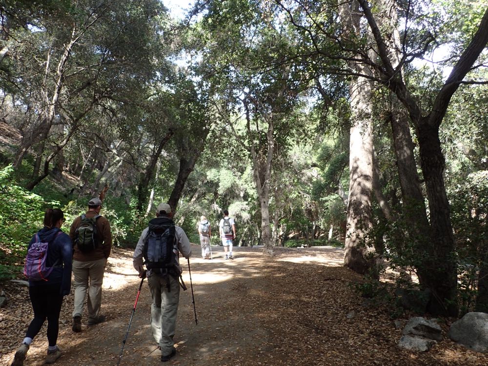
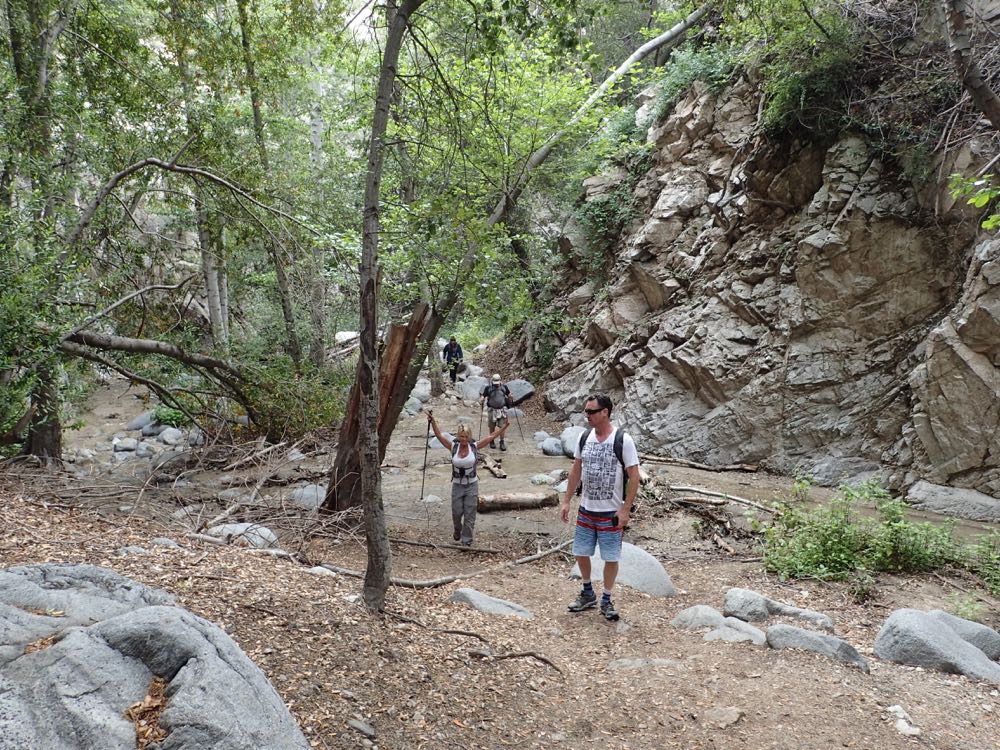
Simply continue down the trail about .5 mile until you reach the stream crossing where the trail begins to ascend the slope on the opposite side.
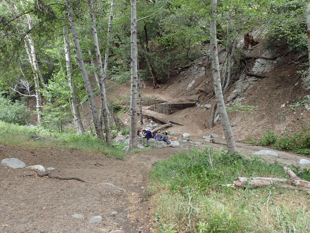
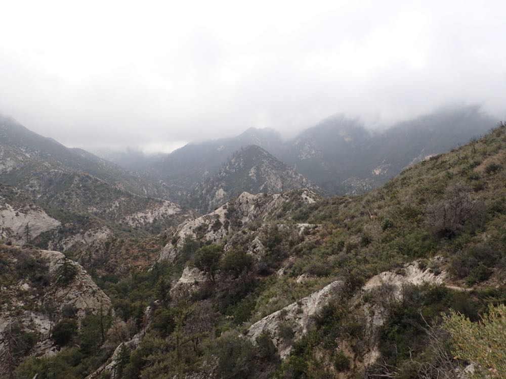
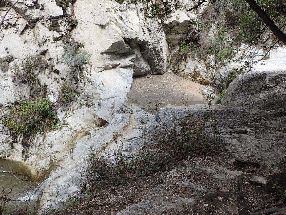
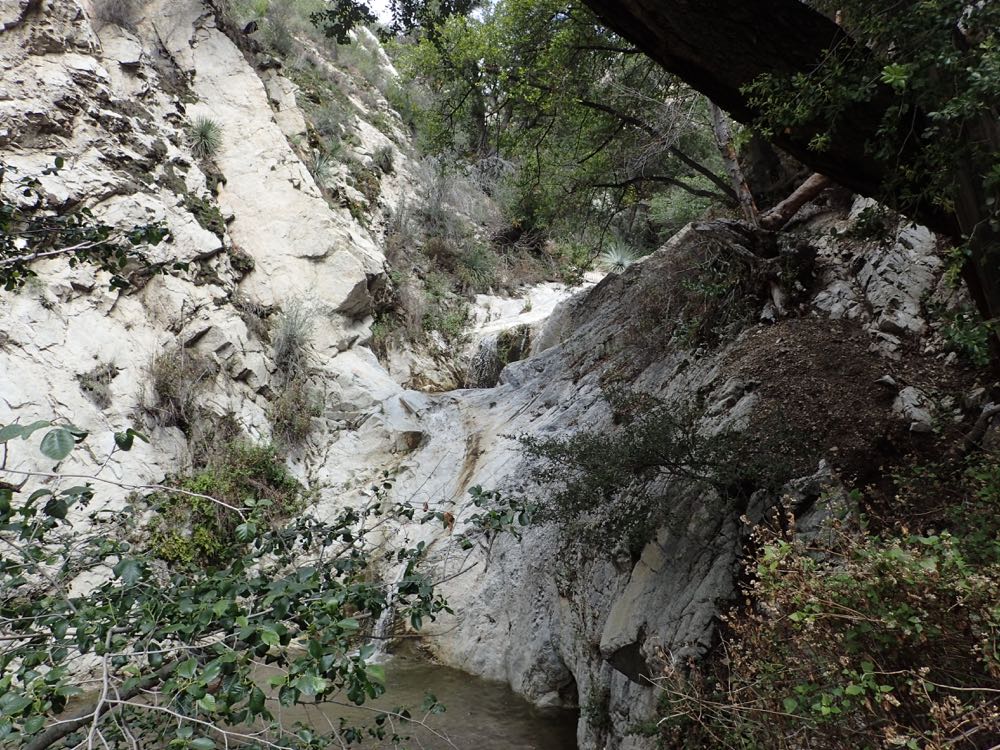
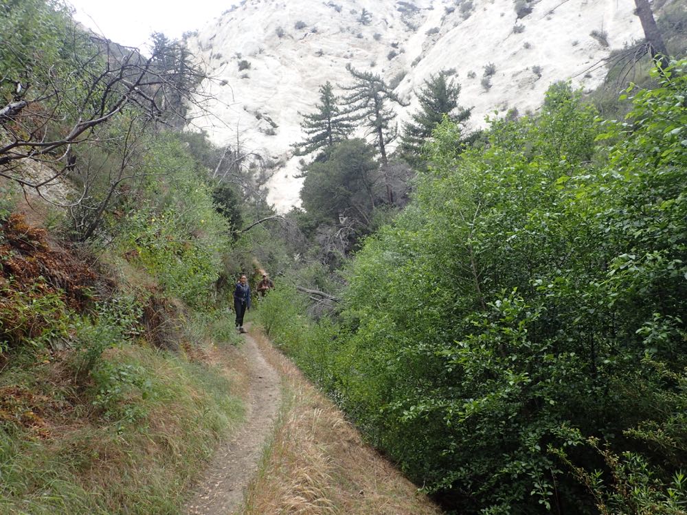
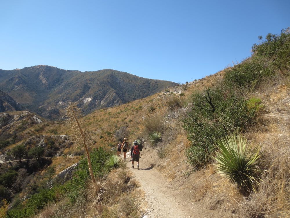
This portion of the trail takes you above Switzer Falls and its gorge, before descending back into the canyon later. After you climb the slope for about .3 mile you will be above Switzer Falls which is below and to your left, so keep an eye out for views of the waterfall.
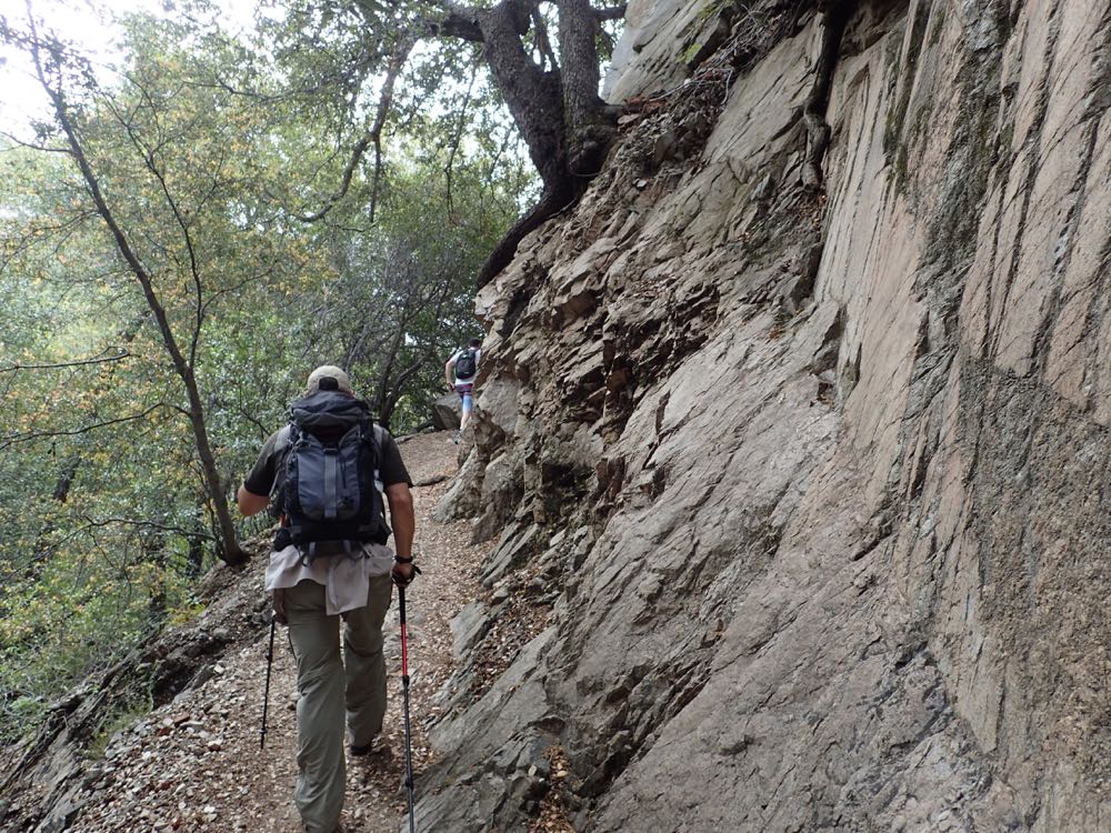
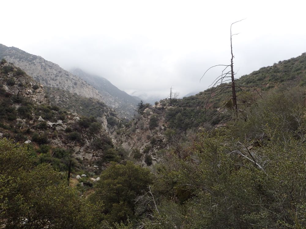
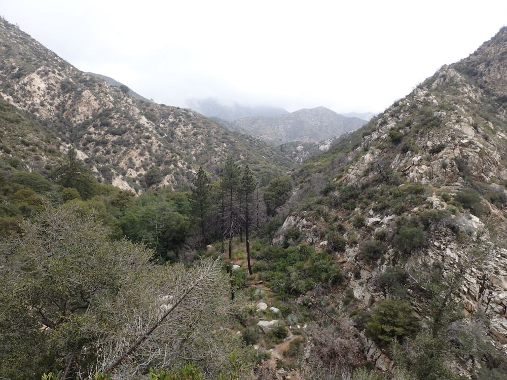
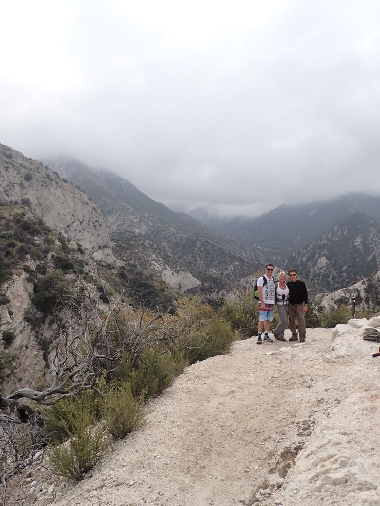
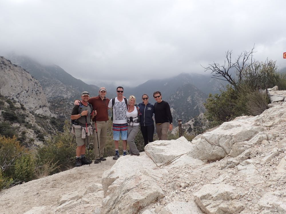
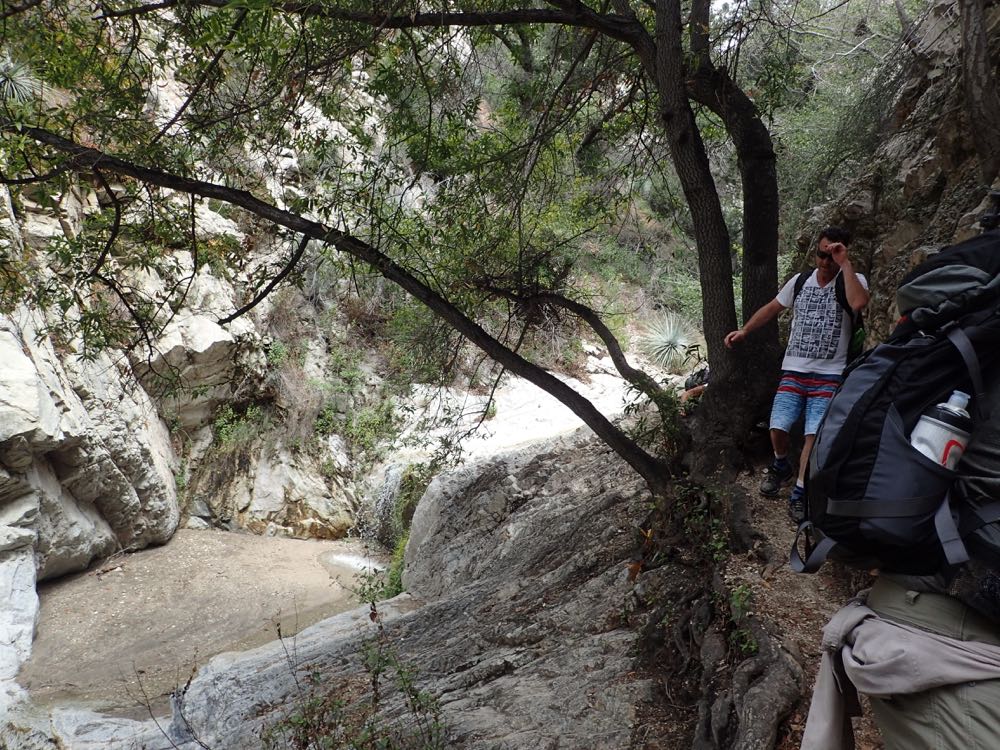
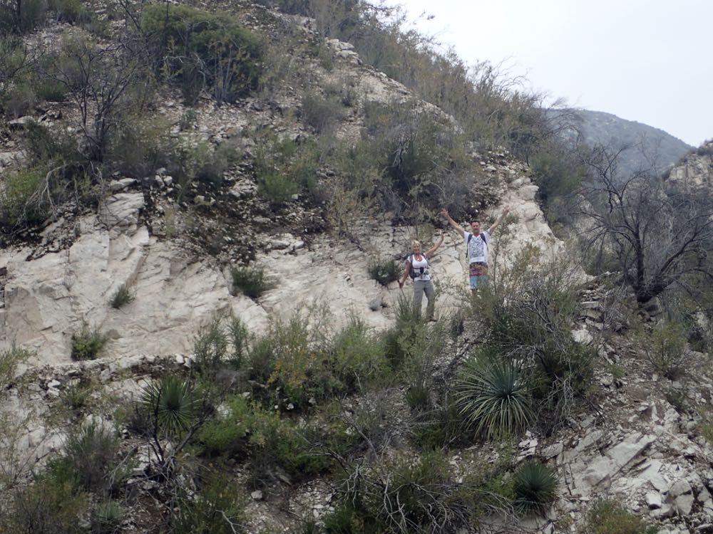
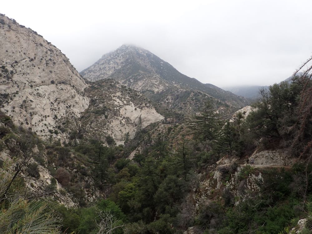
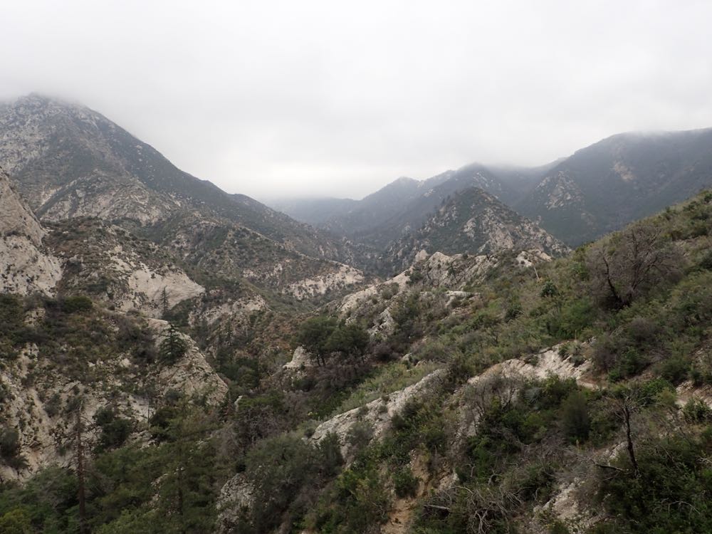
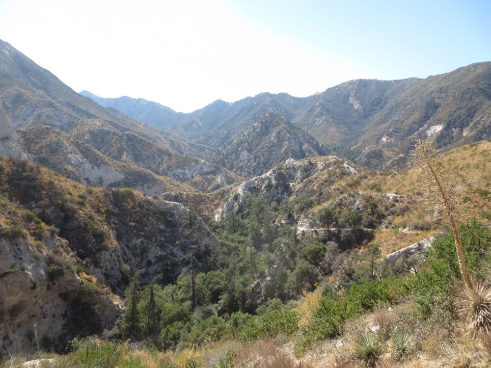
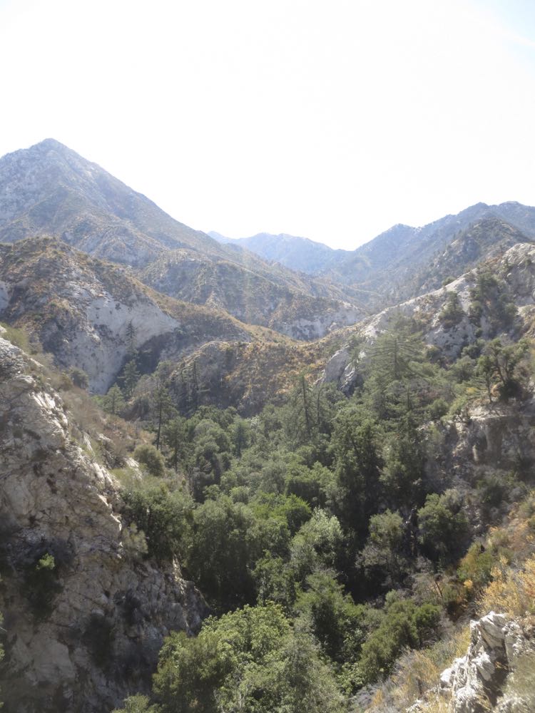
Soon you will arrive at an obvious junction – the Bear Canyon Trail heads down back into the Arroyo Seco canyon to your left, and the main Arroyo Seco Trail continues up the ridge to your right. As of this writing (May 2015) the trail to the right is closed for trail maintenance. Note that the main Arroyo Seco Trail will take you eventually all the way down the entire length of the Arroyo Seco to its base at Pasadena. But that’s another hike when it’s fully reopened- our hike goes down and to the left. Here you have a fantastic view of the Arroyo Seco gorge and the surrounding mountains, so make sure to take some photos in this scenic spot.
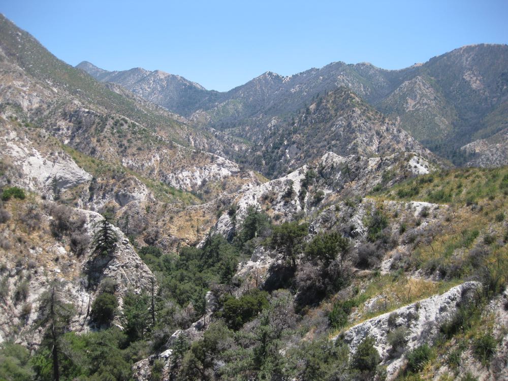
Now simply descend until you reach the signed trail junction at the stream about .5 miles ahead. Here you can go to the left up-stream which will take you to the falls, or continue downstream on the signed Bear Canyon Trail.
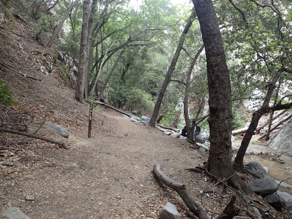
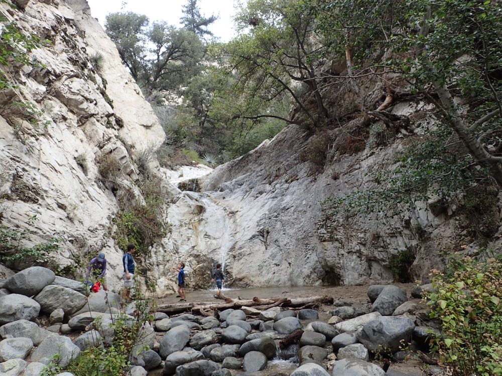
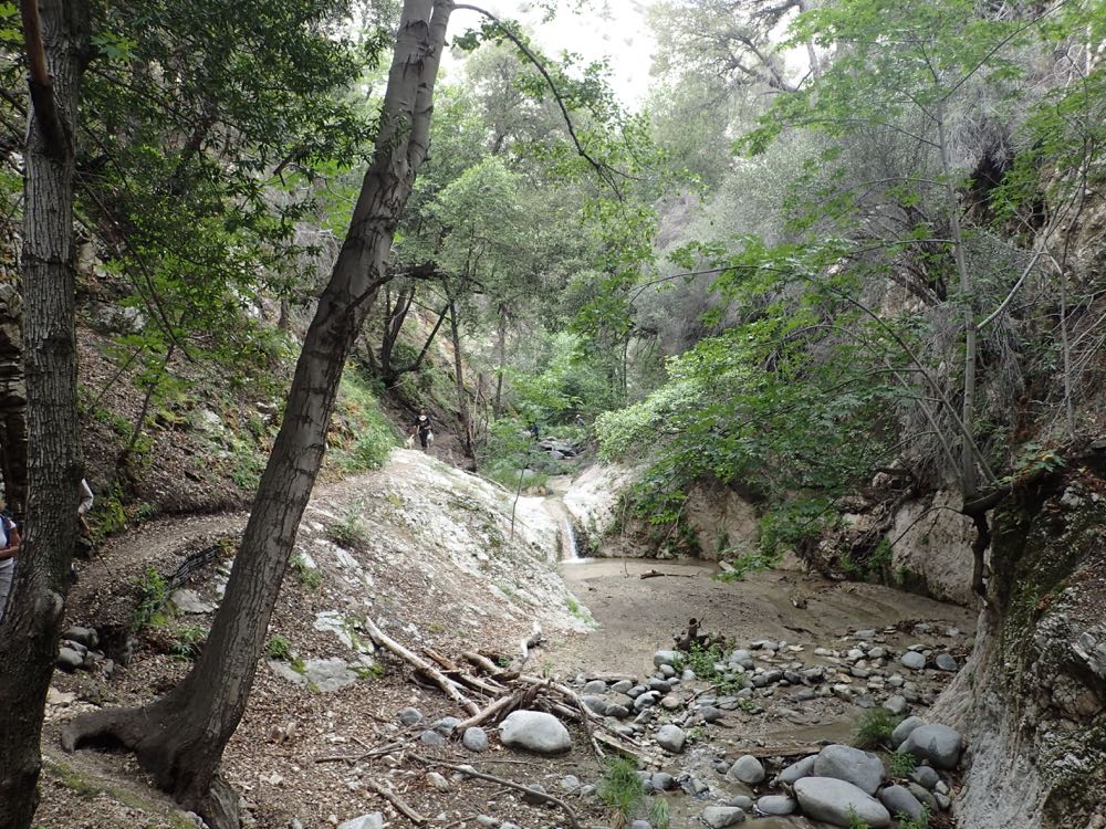
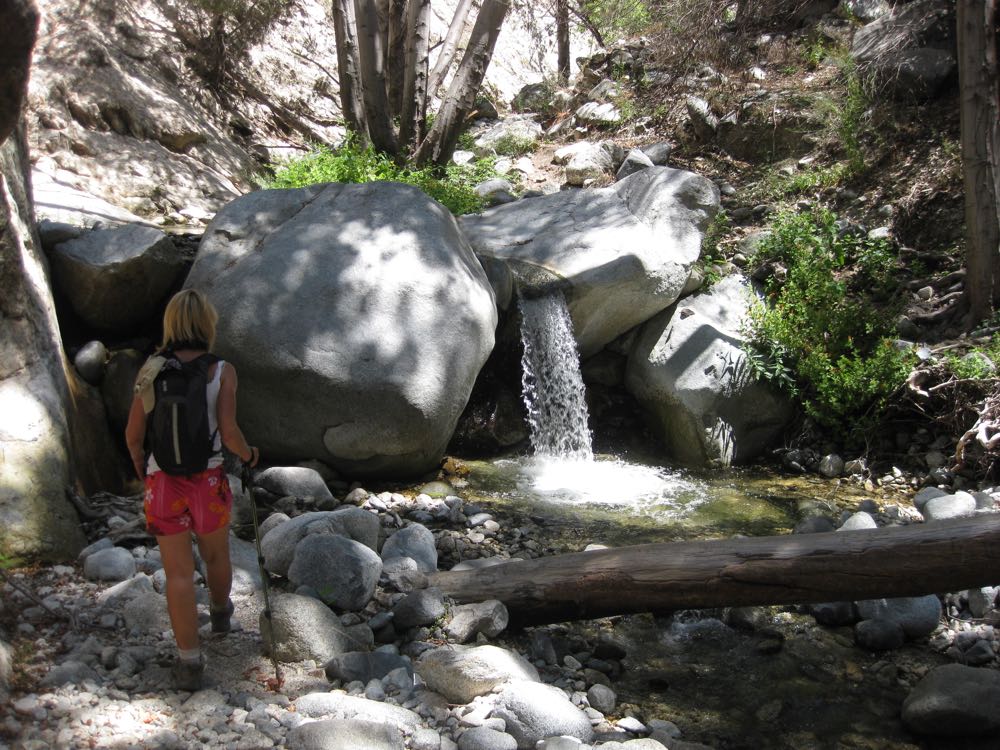
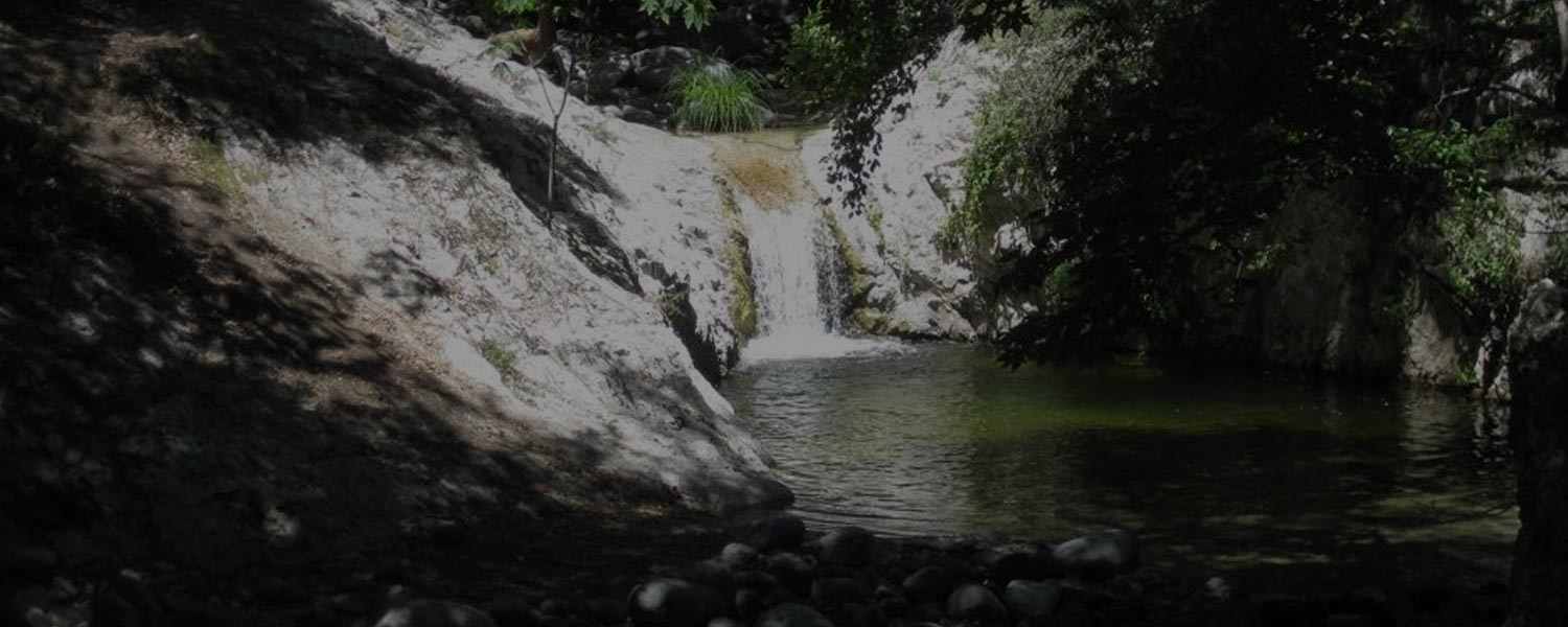
If you decide to go up-stream to the falls you will first encounter Lower Switzer Falls in about .15 mile. Note that to get to the base of Upper Switzer Falls, which you saw from the trail, you have to climb above Lower Switzer Falls to the right of the falls. This is unmaintained and potentially dangerous, so don’t go that way if you’re not confident in your off trail abilities.
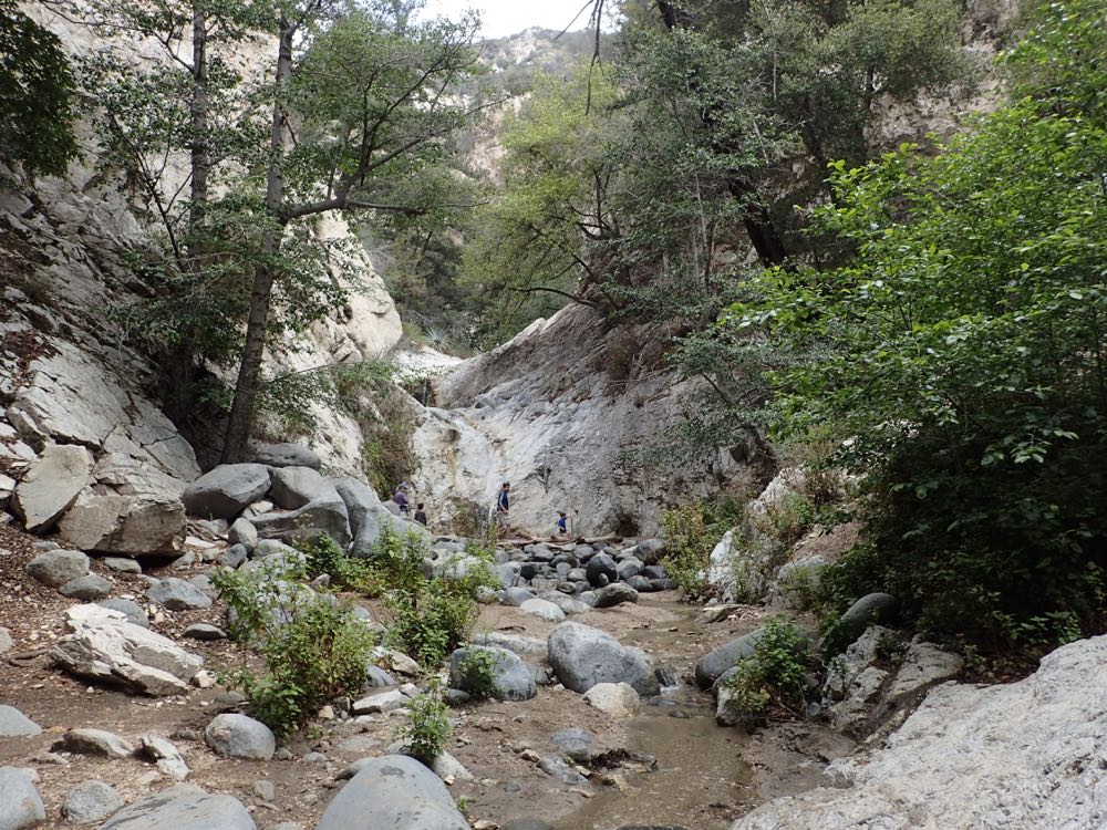
If you do make it past Lower Switzer Falls, after only about another .15 mile up the stream bed you will arrive at the base of 50′ tall Upper Switzer Falls.
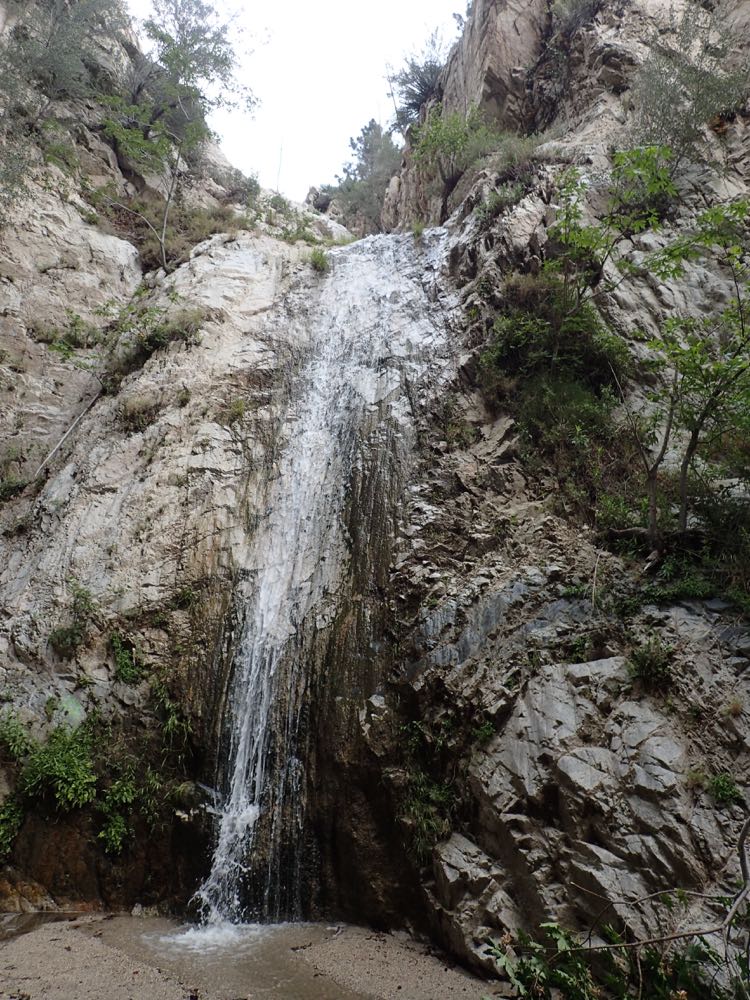
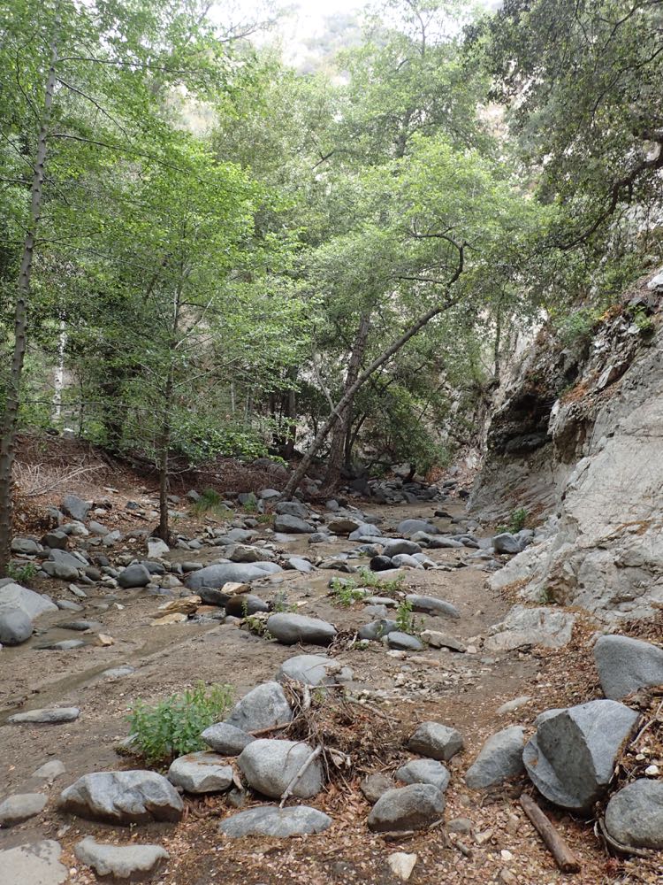
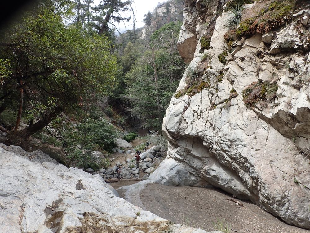
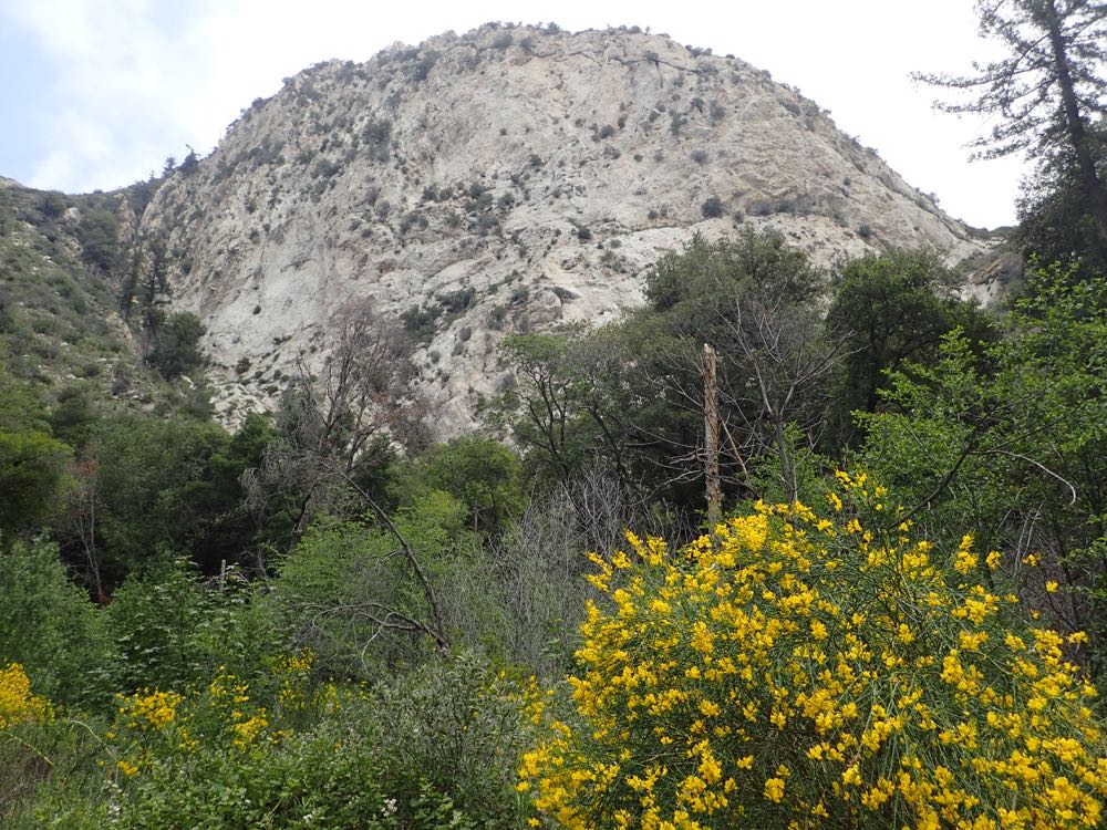
After you have enjoyed your time at the falls, head back downstream to the trail junction. At the signed trail junction follow the Bear Canyon Trail downstream. The trail crosses the stream right away and you now follow along the pretty and mellifluous creek. You will soon pass through an open area with great views of the surrounding massive cliffs.
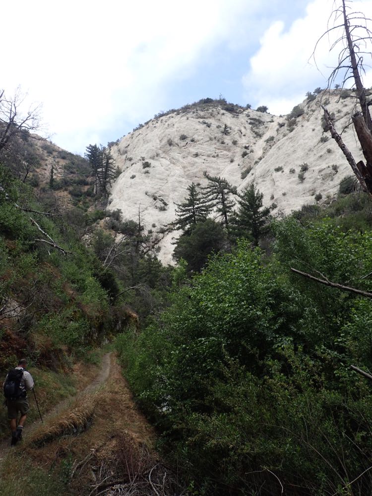
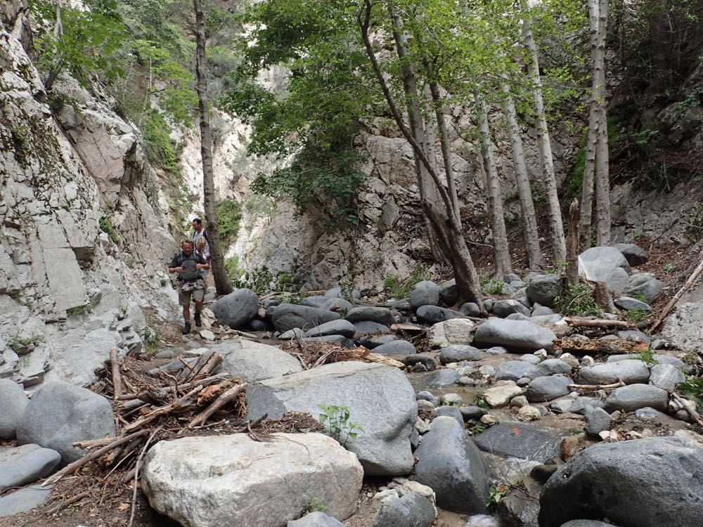
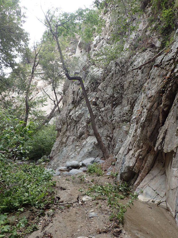
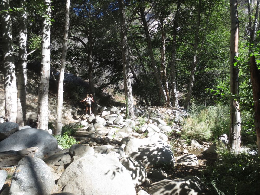
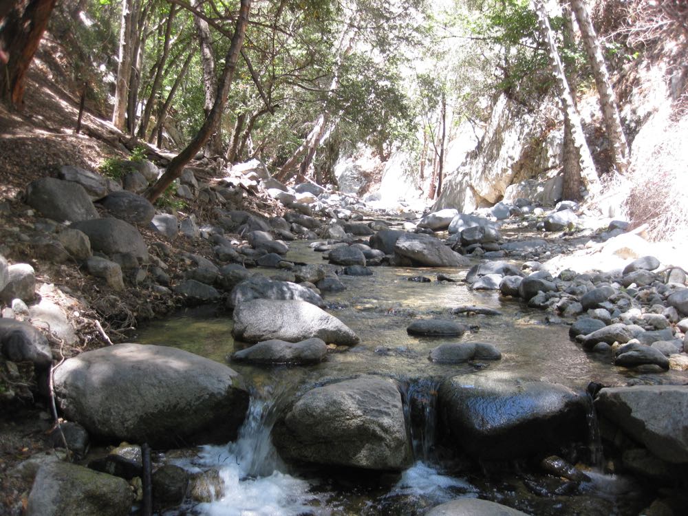
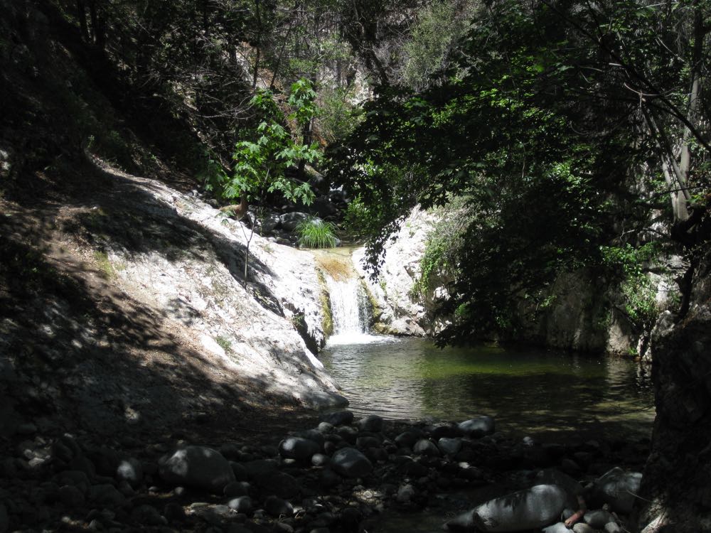
After passing through this area you will enter a magical portion of the Arroyo Seco, tree-lined with numerous small cascades and some great pools. Note that as you can see in the photo below – and especially the fun water slide video at the end of this post – the pools are really quite spectacular after a wet winter has cleared them of debris, and they are up to 10′ deep below the falls, and thus offer fun and refreshing swimming holes on warm days. As of May 2015 the pools are mostly full of gravel since there have been three consecutive rainy seasons with rain totals far below average, so the pools have not had sufficient flow to clear them out to their full depth.
After you have enjoyed this wonderful area, simply retrace your steps back to the trail head and to your waiting vehicle.
