Mt Waterman Hike
Summary for Mt Waterman Hike

Difficulty
Easy to Moderate
Length
6 Miles Round Trip
time
4 Hours
Elevation Gain
1,200′
Summary
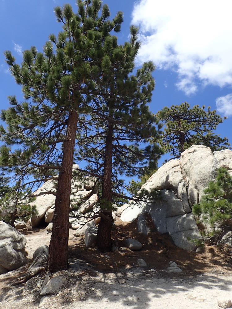
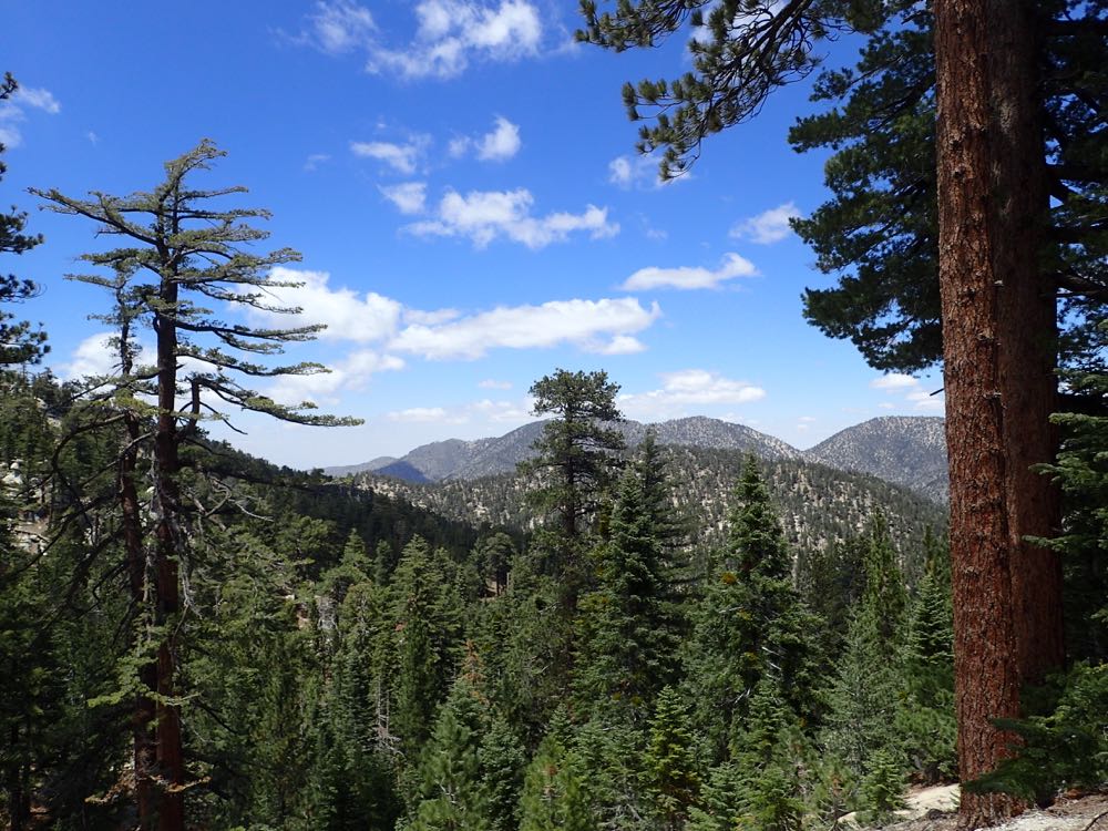
Hike on excellent trail to the summit of 8,041′ Waterman Mountain (aka Mt Waterman), in the magnificent San Gabriel high country. Exposed granite, great views, and healthy alpine forest give this hike a flavor of the Sierras, but much closer to home.
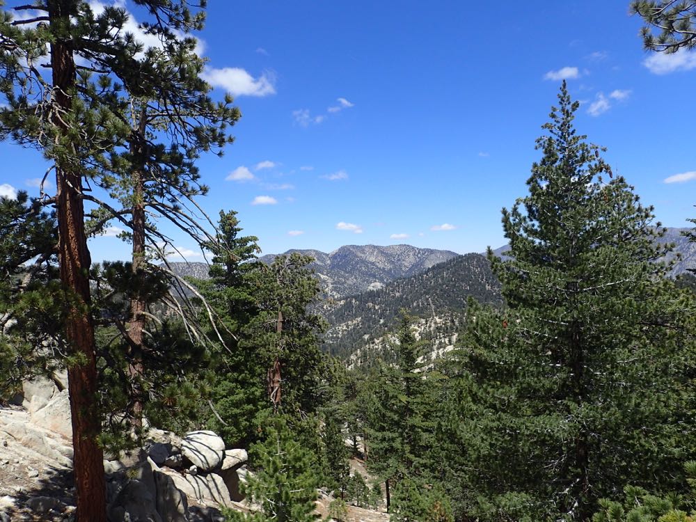
The San Gabriel high country is a true gem of Southern California hiking, and an area of which relatively few people are aware. The old growth alpine forest, clean and clear air, and exposed granite can make you feel transported to another, more exotic area for a day. Another awesome hike in this area is the Cooper Canyon Falls Hike.
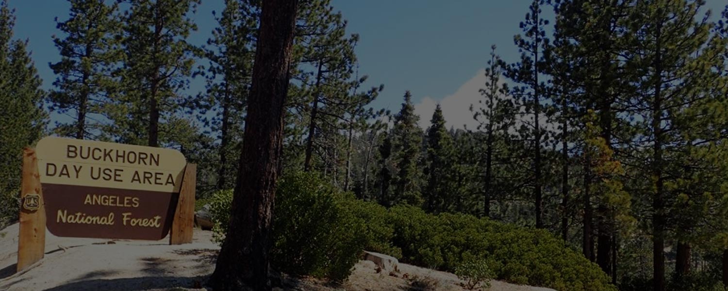
The Mt Waterman hike originates in the Buckhorn Day Use Area on the Angeles Crest Highway approximately 37 miles up the highway from La Canada Flintridge. Waterman Mountain (commonly also referenced as Mt Waterman) is a prominent 8,041′ peak along the San Gabriel crest, and the most westerly of the San Gabriel Peaks higher than 8,000′, as the crest of the range trends progressively lower from 10,064′ Mt Baldy. This is a popular skiing area in good winters, and you will have passed the Mt Waterman Ski Area lifts on your way to the trail head.
In an interesting piece of Southern California and San Gabriel Mountain history, Mount Waterman was named after Liz Waterman who, with her husband Bob, and Commodore Perry Switzer (see the Switzer Falls Hike), made a complete traverse of the San Gabriel range from the Los Angeles Basin to the desert and back in 1889. Liz Waterman was believed to be the first non-indigenous woman to cross the range, and so her companions christened the mountain Lady Waterman’s Peak in her honor. Following the prevailing sexist attitudes of the day, the USGS dropped “Lady” from the name when the area was mapped. Apparently Bob Waterman tried without success to convince the agency to correct their error, but the name still persists as a tribute to her accomplishment.
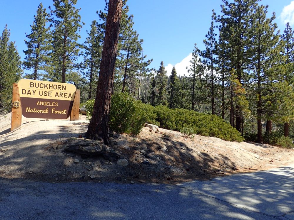
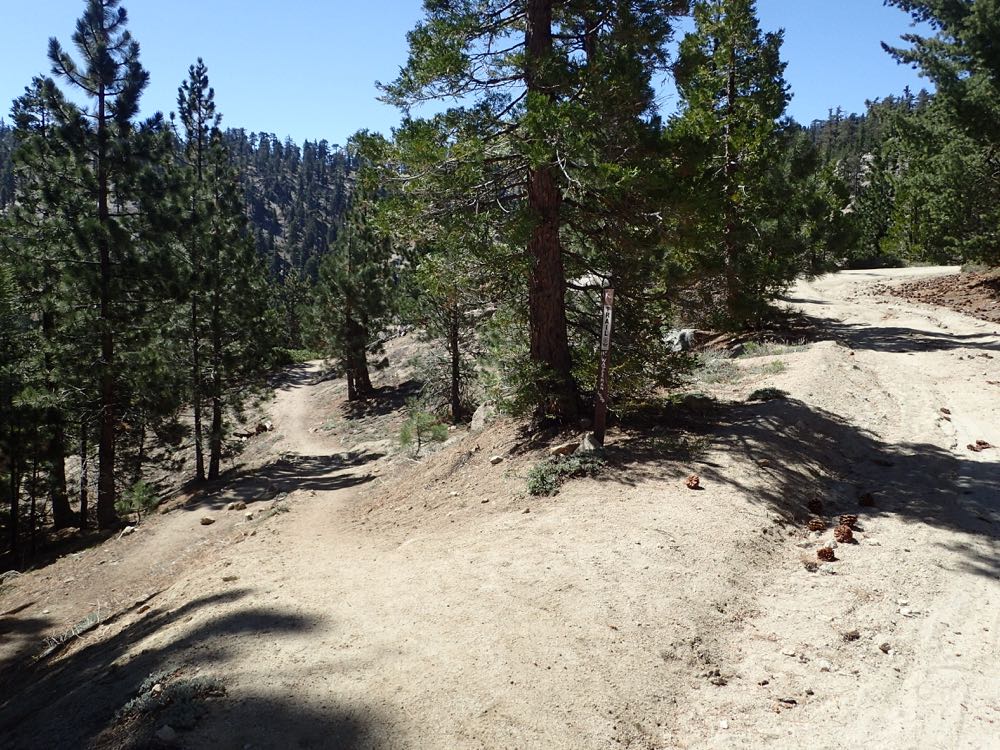
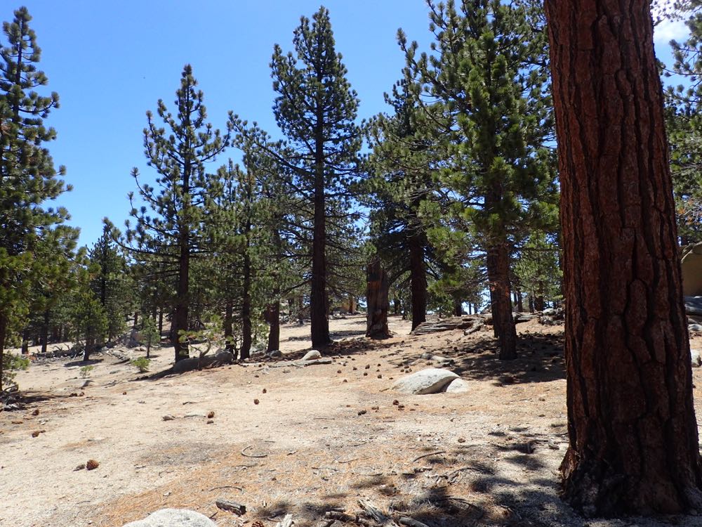
This hike takes you on excellent trail from the north side of the mountain to a series of viewpoints with spectacular vistas, then up a ridge to the east flank, again with nice views, and on to the scenic jumble of exposed granite at the summit. The alpine forest in this area was not burned in the Station Fire of 2009 and is vibrant, healthy, and lovely. The rounded summit offers great views and some awesome granite slabs on which to relax and lie stretched out in the sun. Note that this area can be completely covered in snow in most winters, sometimes for months at a time. As always, be prepared for alpine weather, and check trail conditions and the forecast before you go anywhere at high elevations in the mountains.
Directions to Trailhead for Mount Waterman Hike

Detailed Description for Mt Waterman Hike
Parked in the one of the few spaces in the Buckhorn Day Use area, or in the larger additional parking area in view only 200′ or so to the west on the highway.
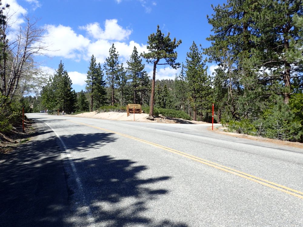
Now cross the highway and go up the gated fire road clearly visible on the opposite side.
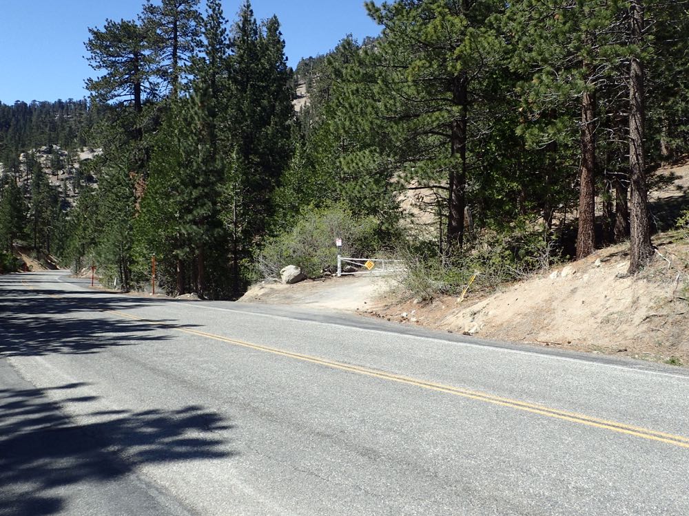
The signed trail begins only about 100 yards from the highway on this road, and you take the trail off the fire road to the left.

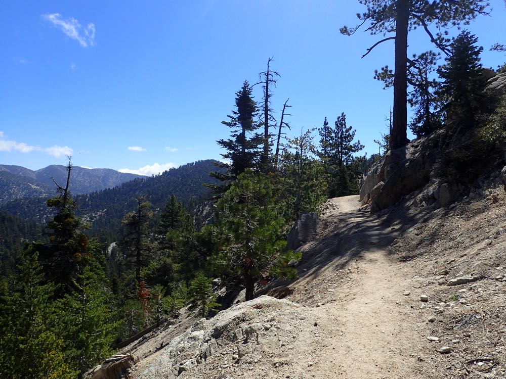
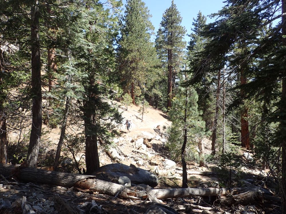
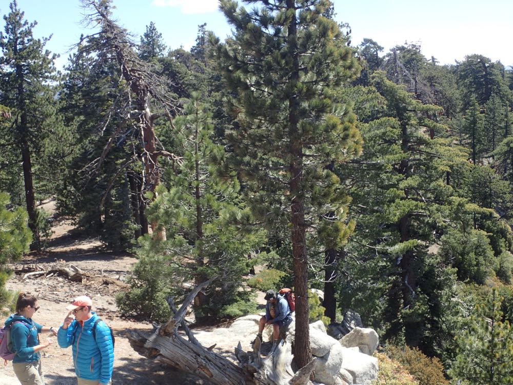
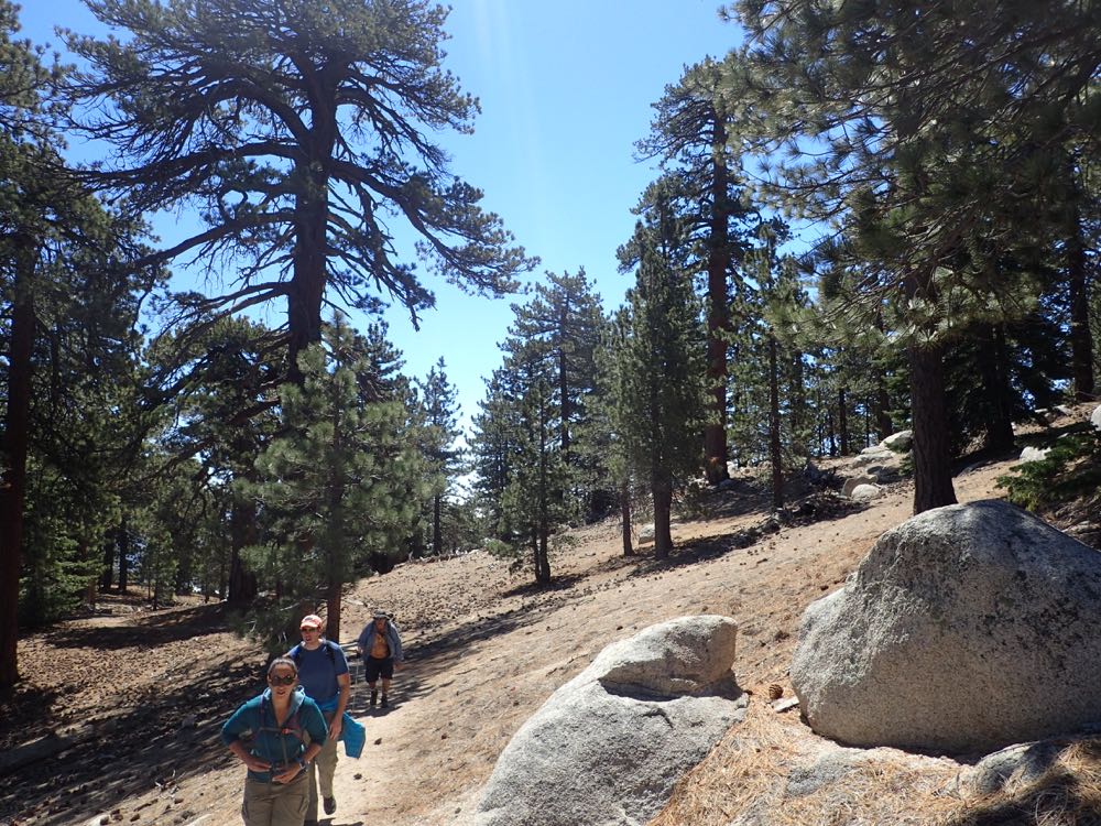
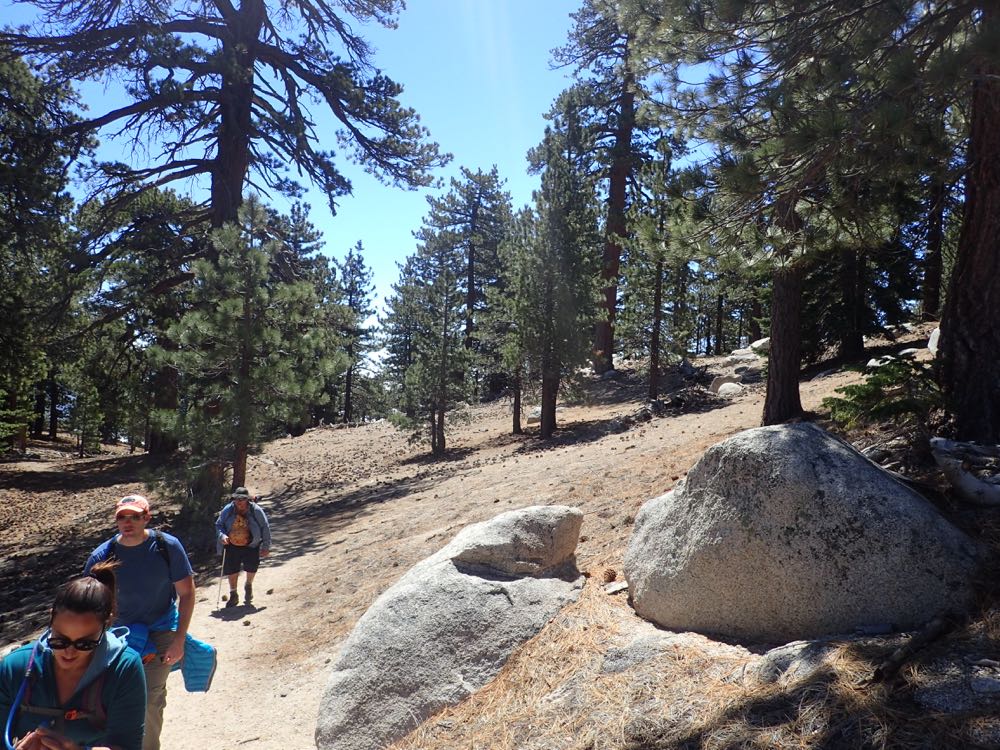
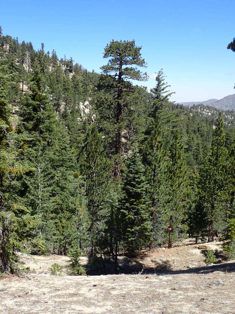
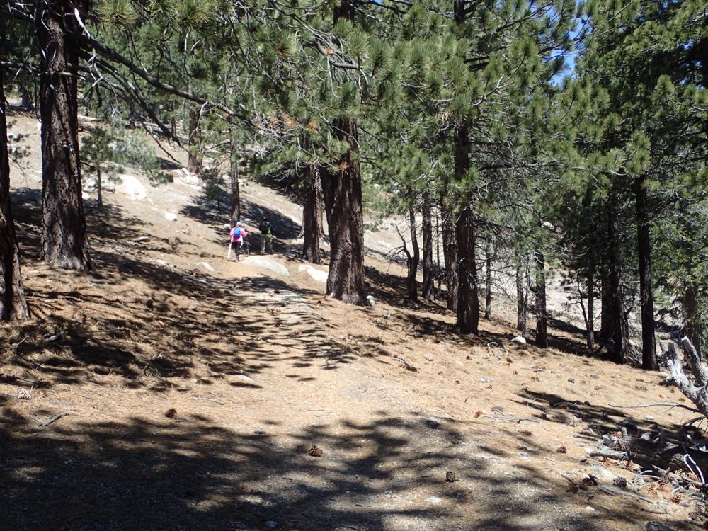
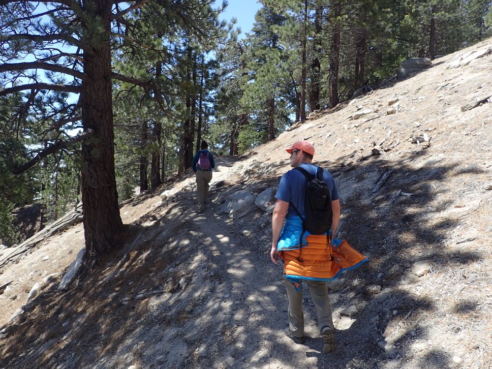
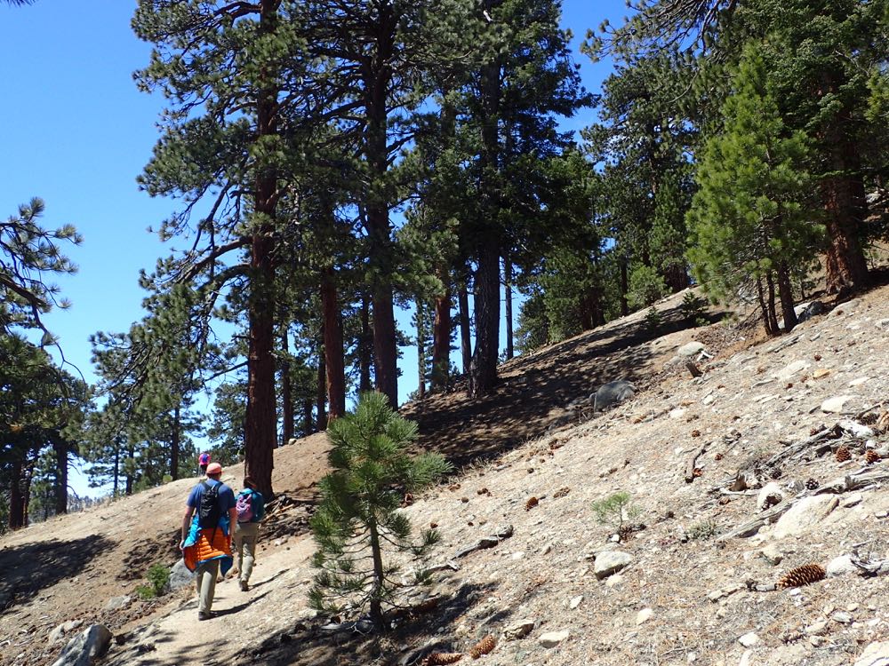
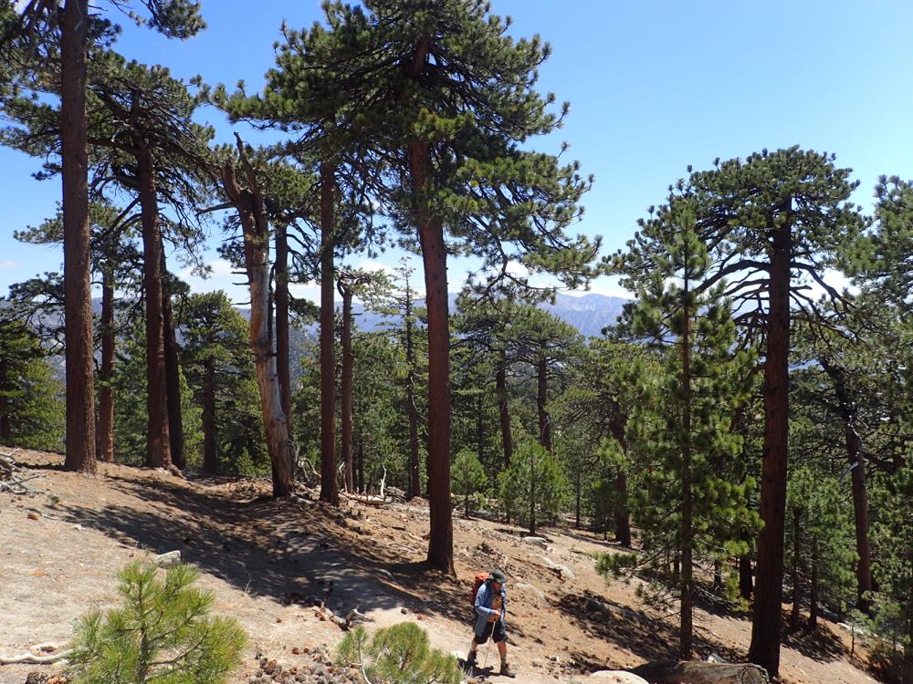
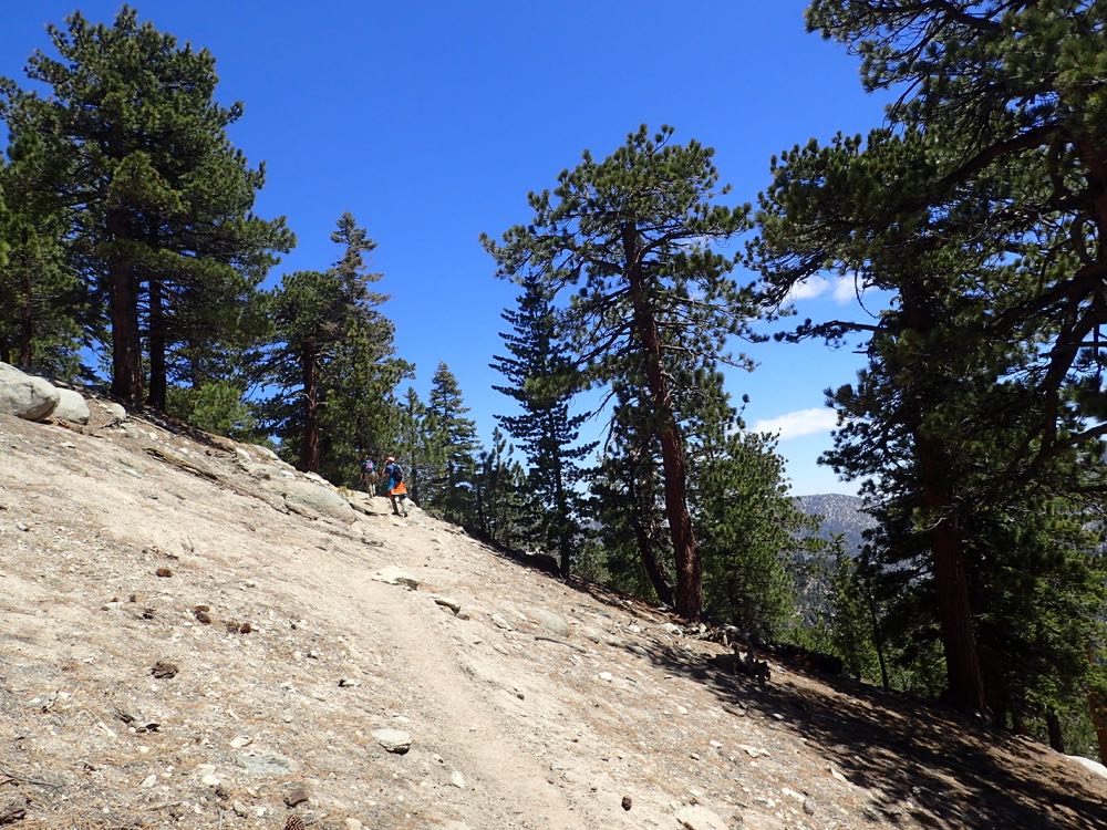
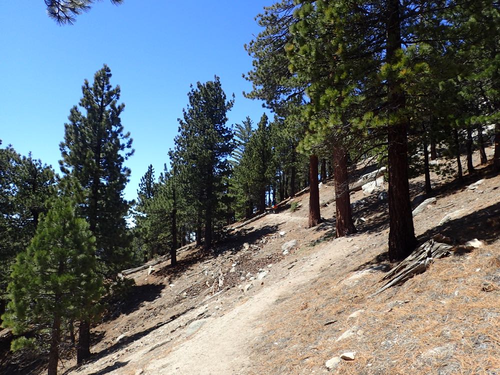
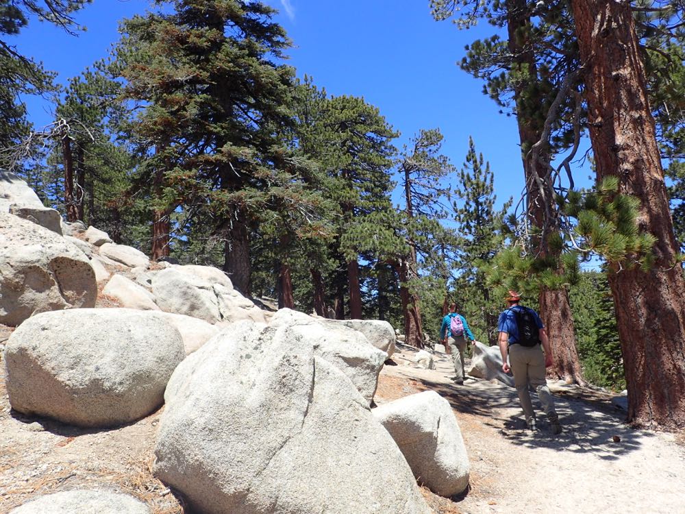
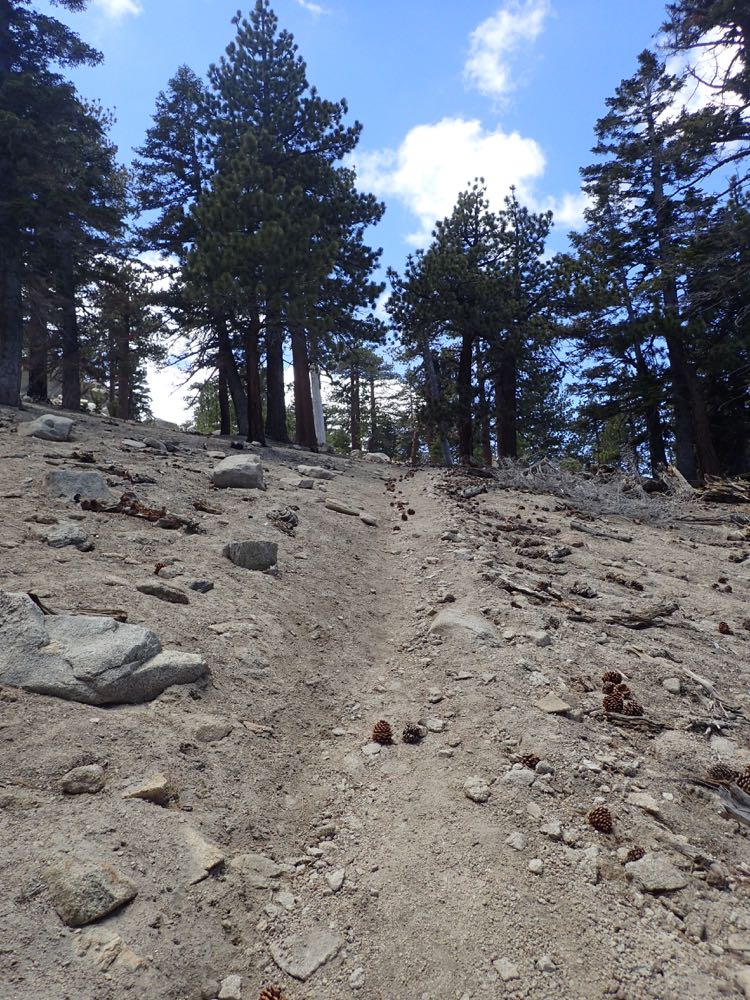
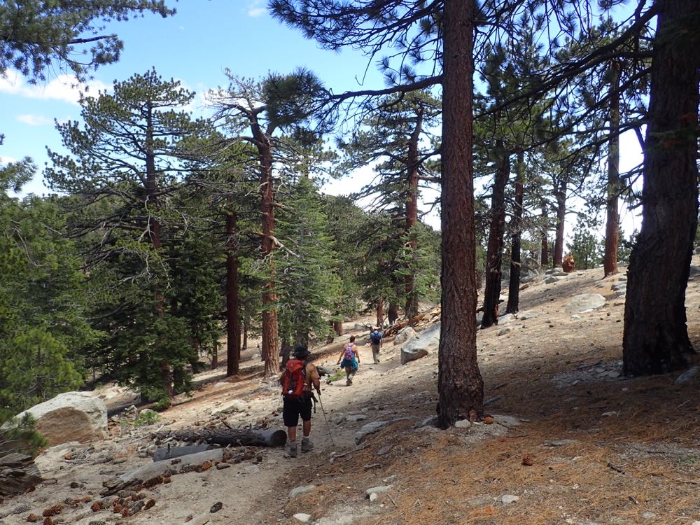
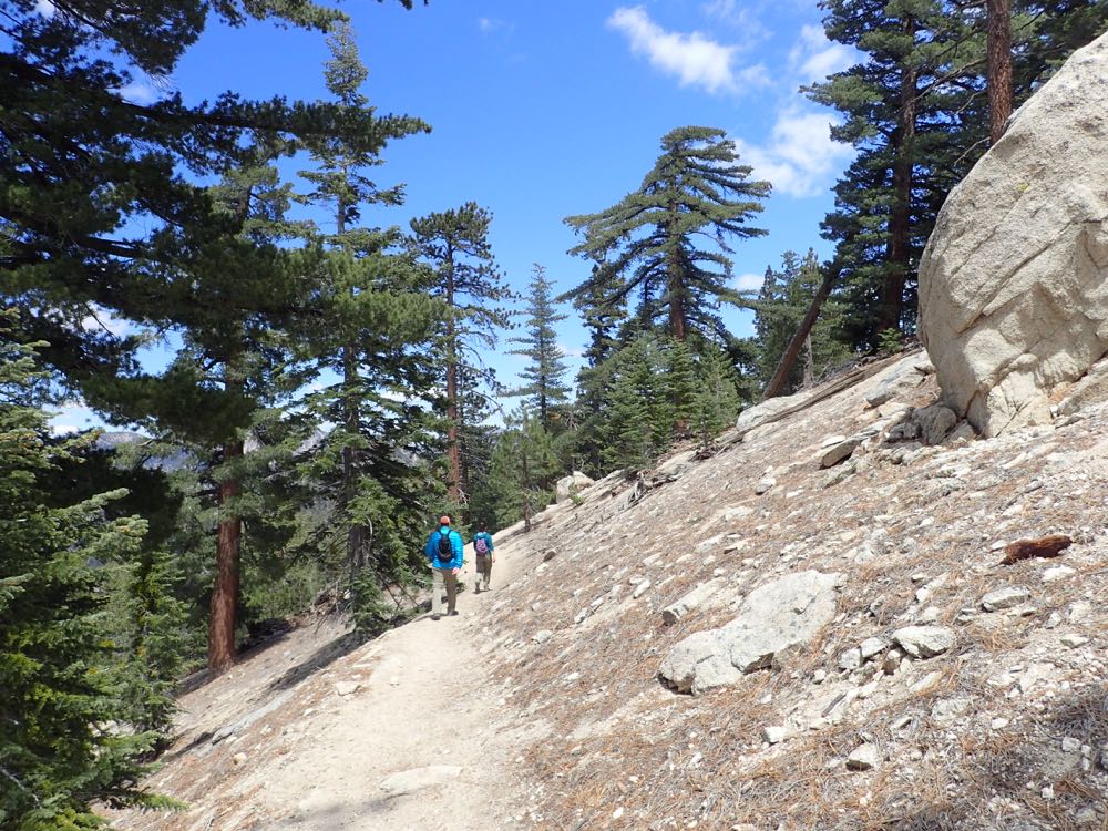
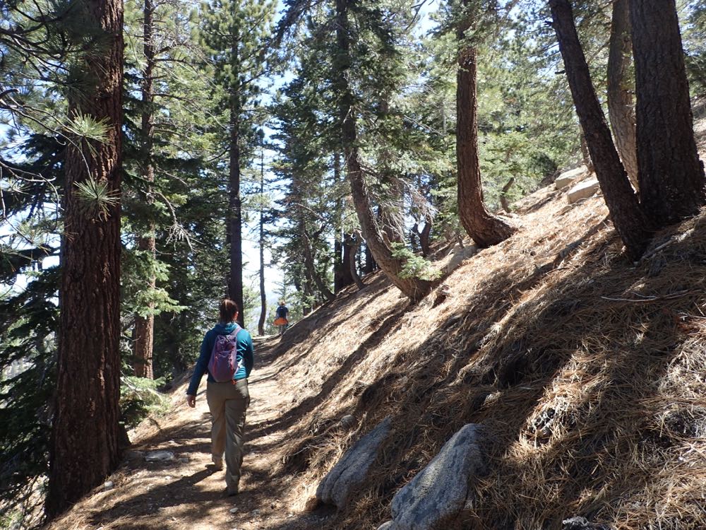
Now you simply ascend through lovely alpine forest on this well-graded and well-maintained trail.
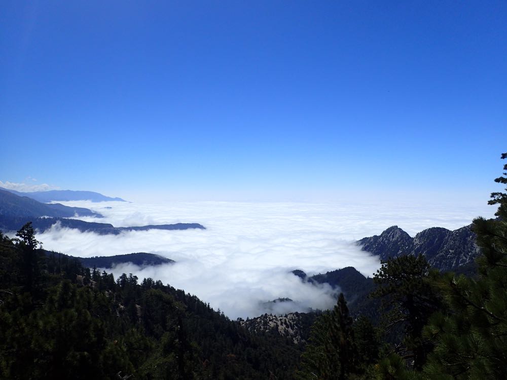
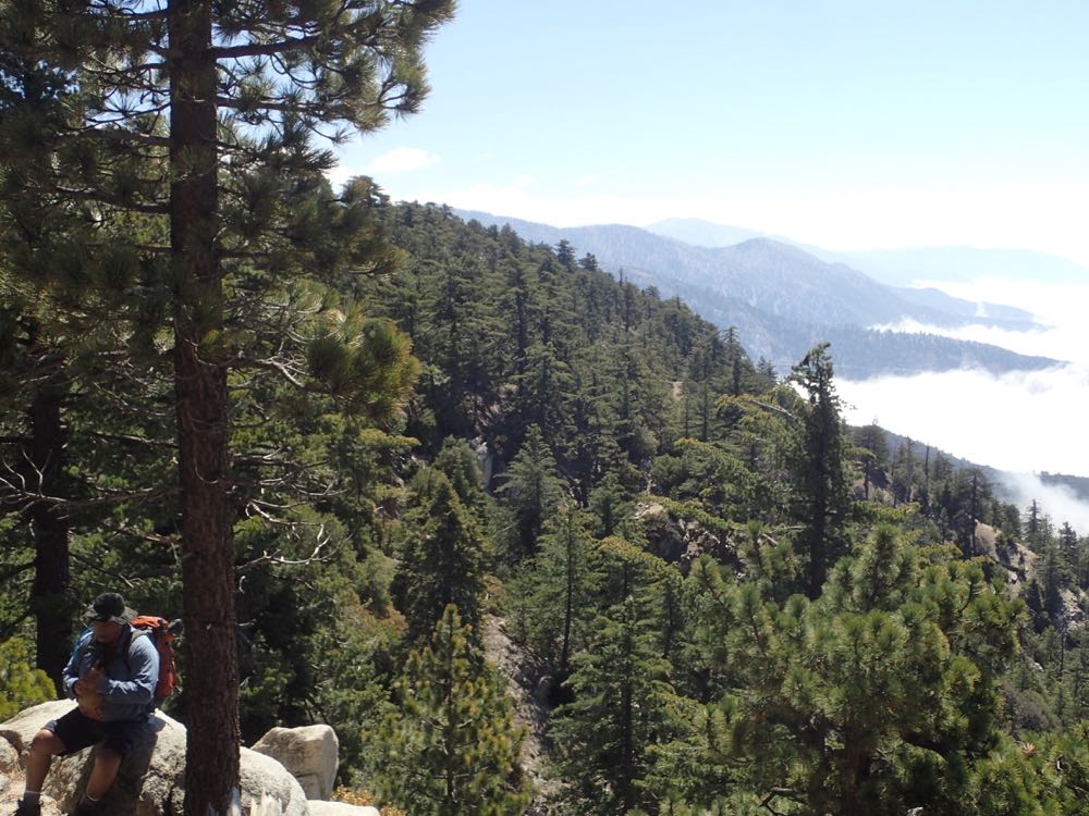
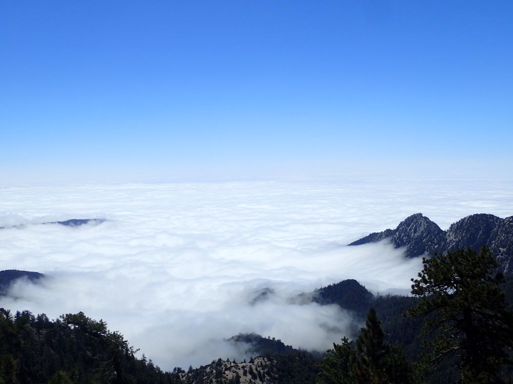
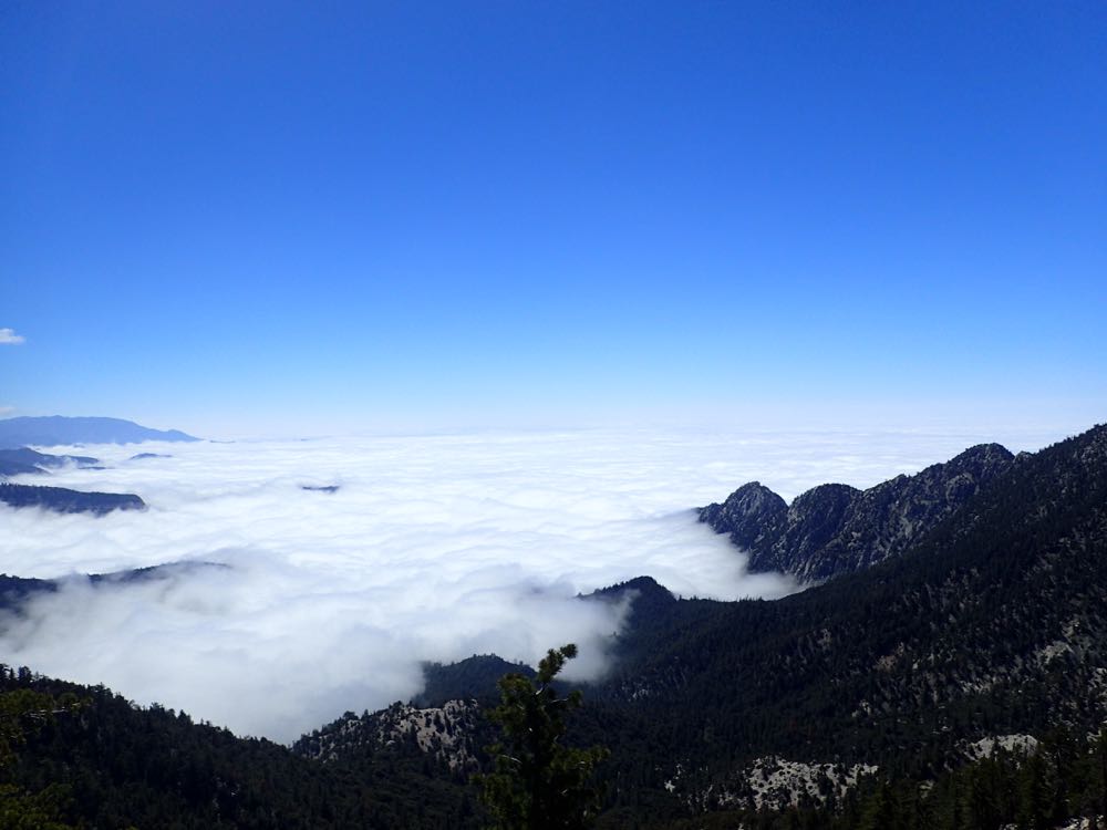
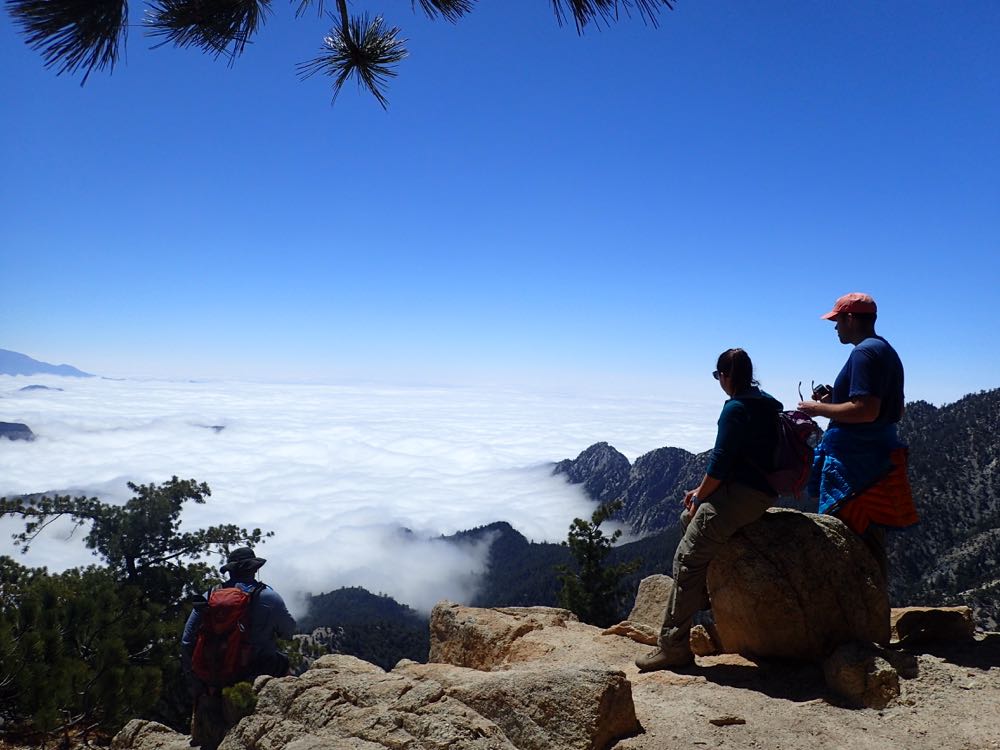
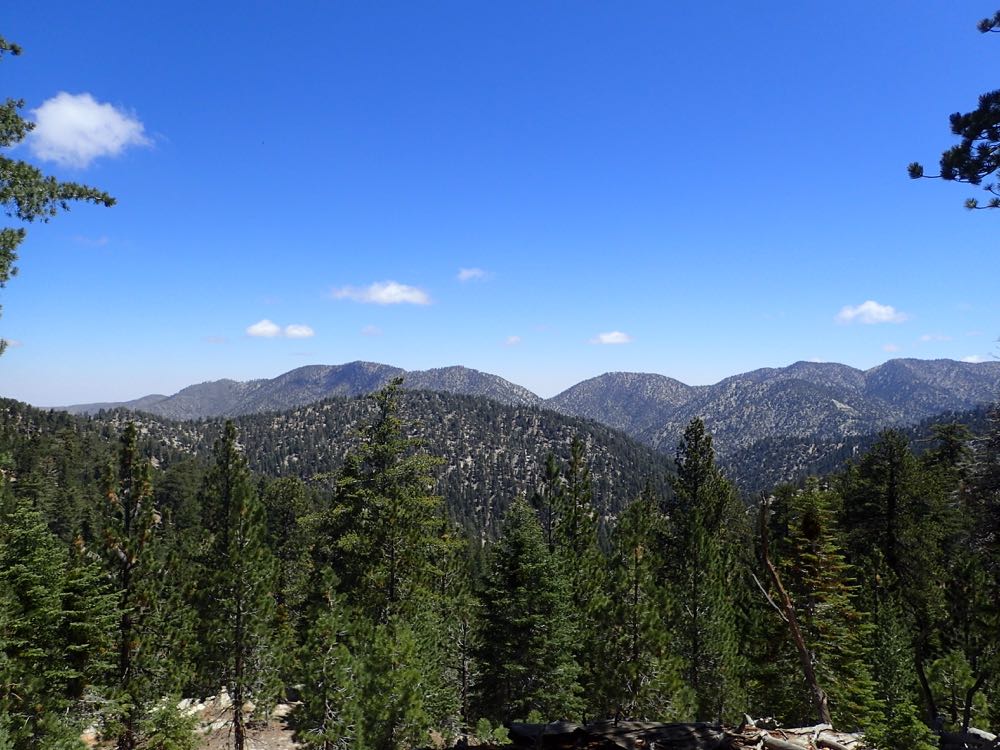
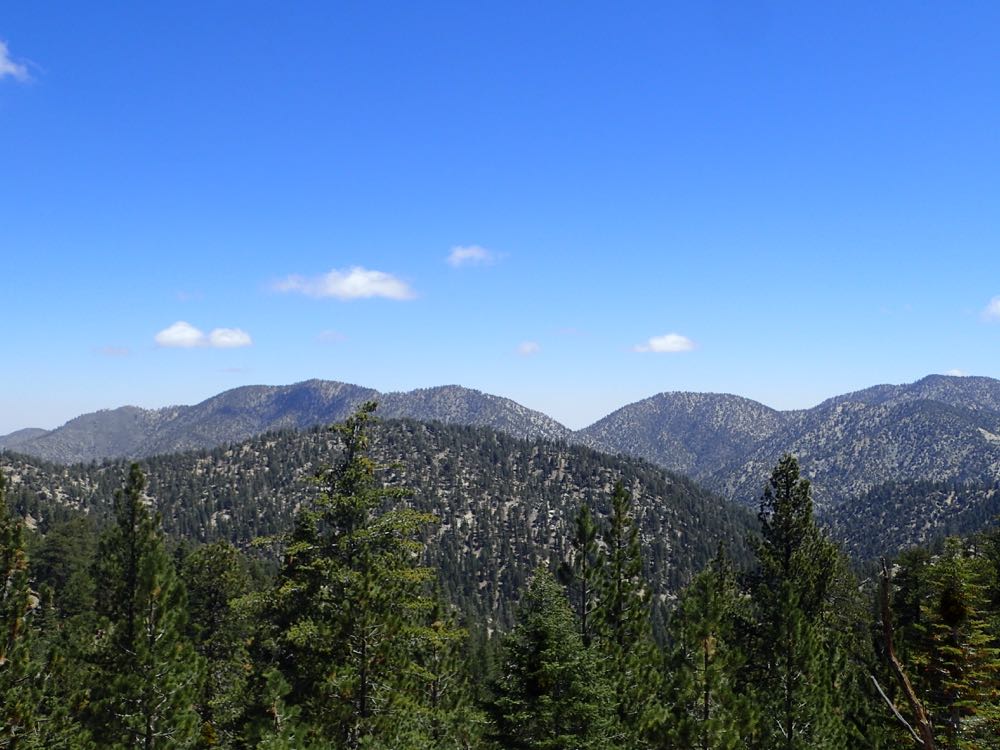
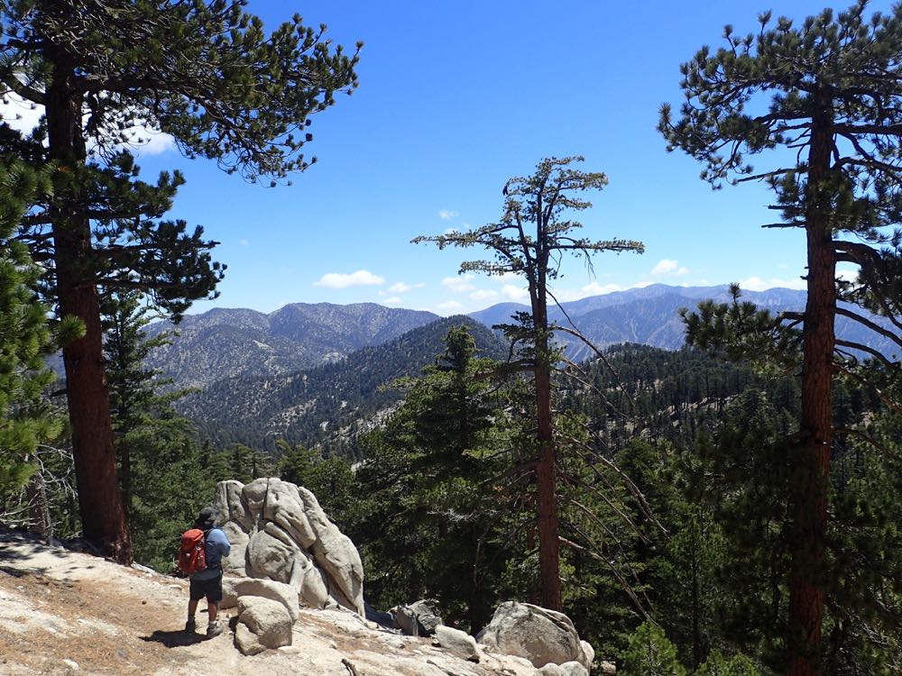
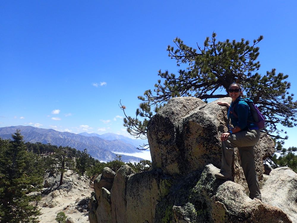
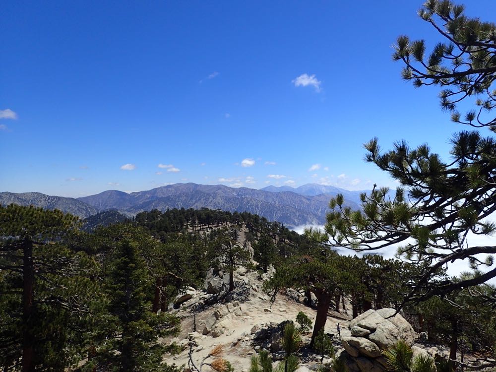
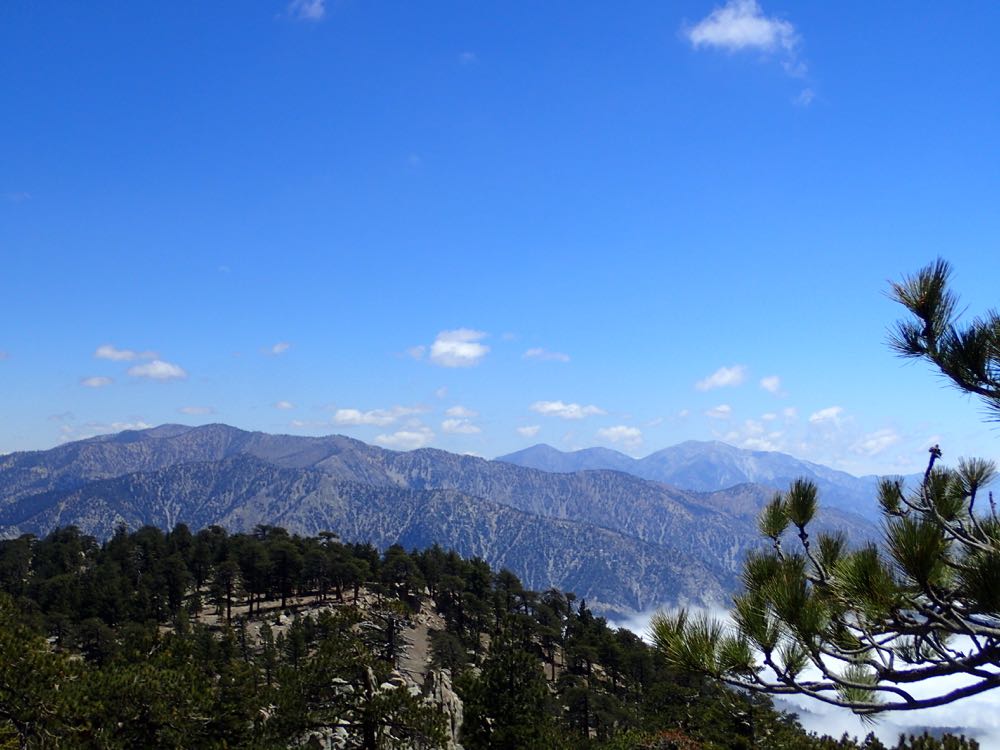
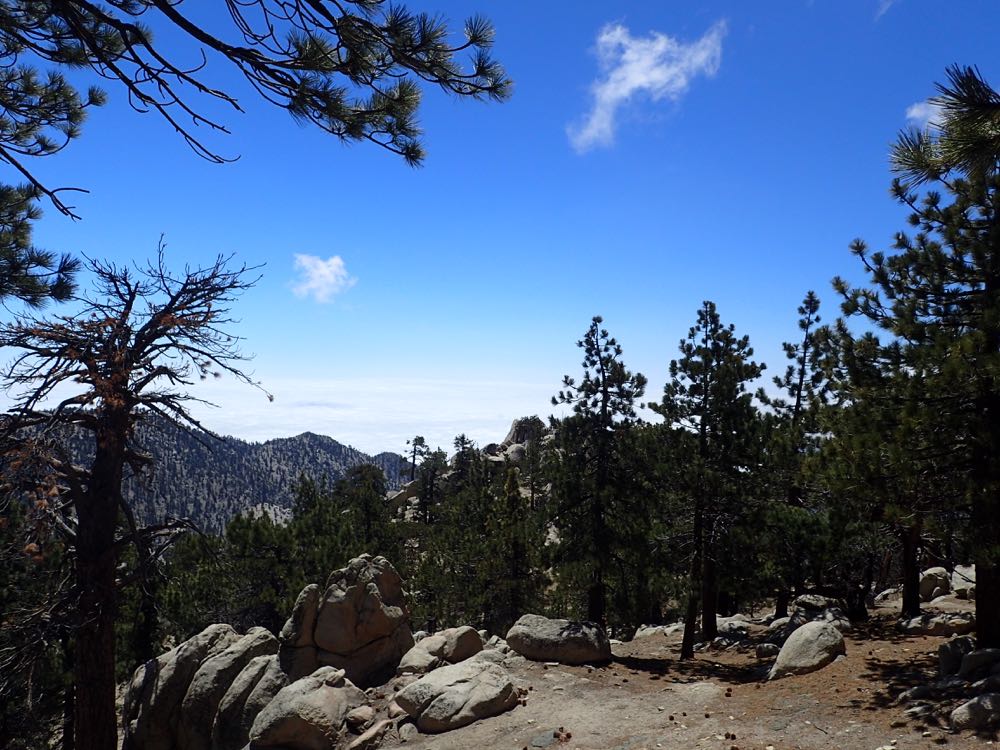
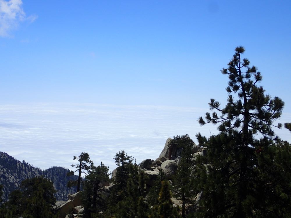
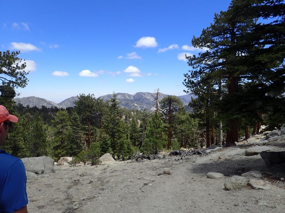
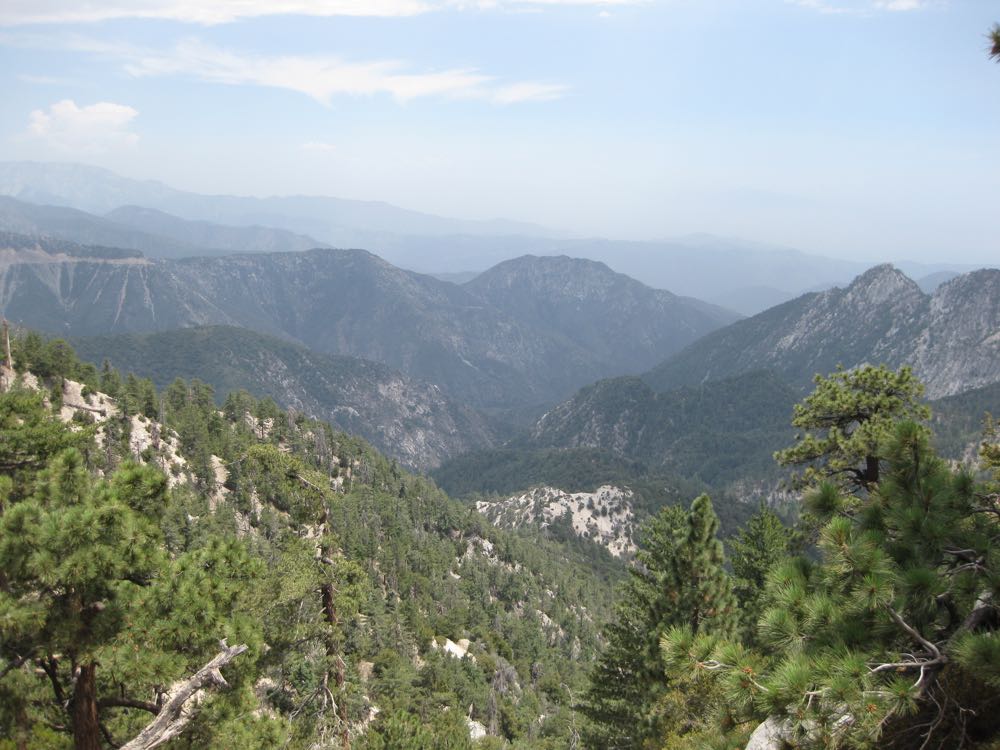
After about .75 mile you will arrive at the top of a ridge and be treated to expansive views to the south and east. If you go another approximately .25 miles you’ll get an even better viewpoint from a rocky outcropping just to the left of the trail. The pristine and absolutely wild 36,000 acre San Gabriel Wilderness with the rugged Twin Peaks before you, and the spectacular gorge of Bear Creek to your left is now displayed below you in dramatic fashion.
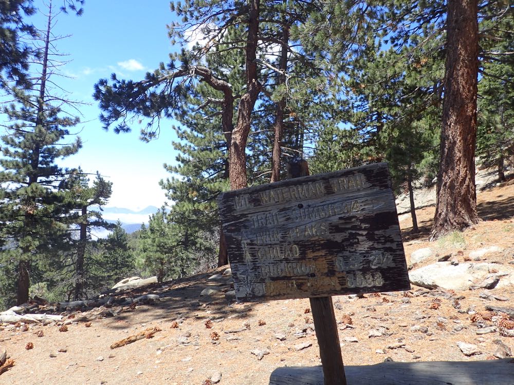
Continue up the trail until you hit a signed trail junction. This is marked as “Trail Junction 1” on this hike’s GPX Track. Here you turn left to go up to the summit. Note that continuing forward will eventually take you back to the Angeles Crest Highway at the Three Points Trailhead, but be aware that this is several miles (at least 5) down the road from where you parked. You could park there and hike up to the summit as well, but that’s another hike. As mentioned, we turn to the right and head up.
Now you simply hike the .75 mile up to the summit. Try not to miss the first relatively faint and unsigned trail to the summit, marked as “Trail Junction 2” on this hikes GPX Track.
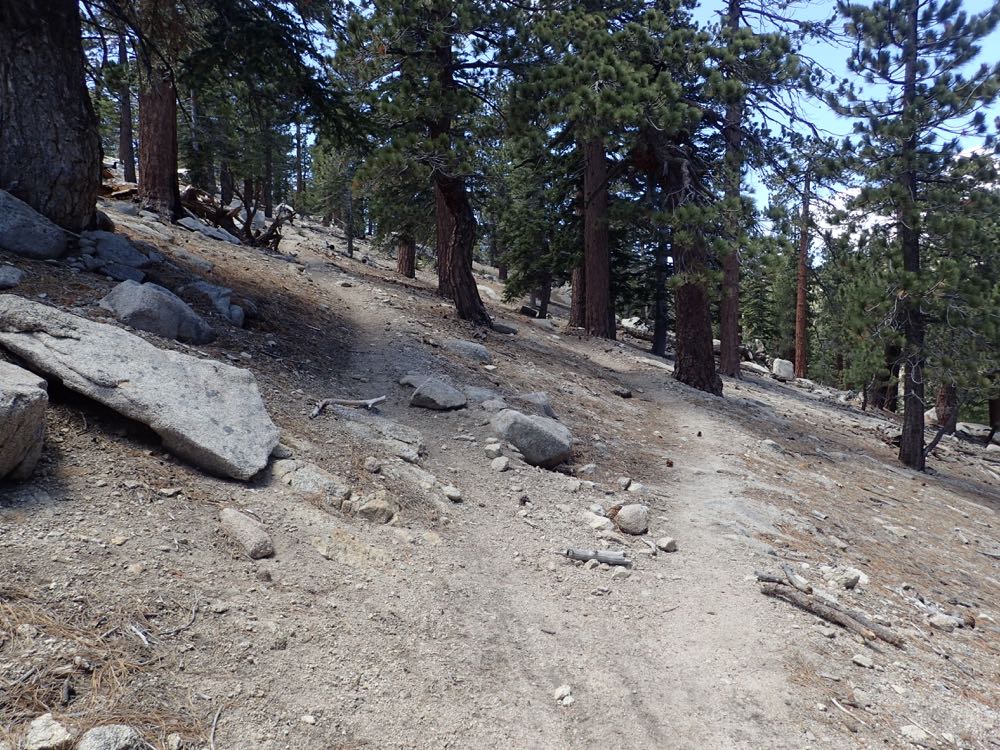
If you miss it don’t worry you will continue below the summit about .25 mile where you will encounter a signed trail junction – marked “Trail Junction 3” on this hike’s GPX Track. Here you would go ahead slightly, then left to back track up to the summit. Note that according to this sign, this junction can take you down to Angeles Crest Highway on fire road if you go to the right, but I have not confirmed this. I believe it uses the ski area’s fire road to go back to the highway.
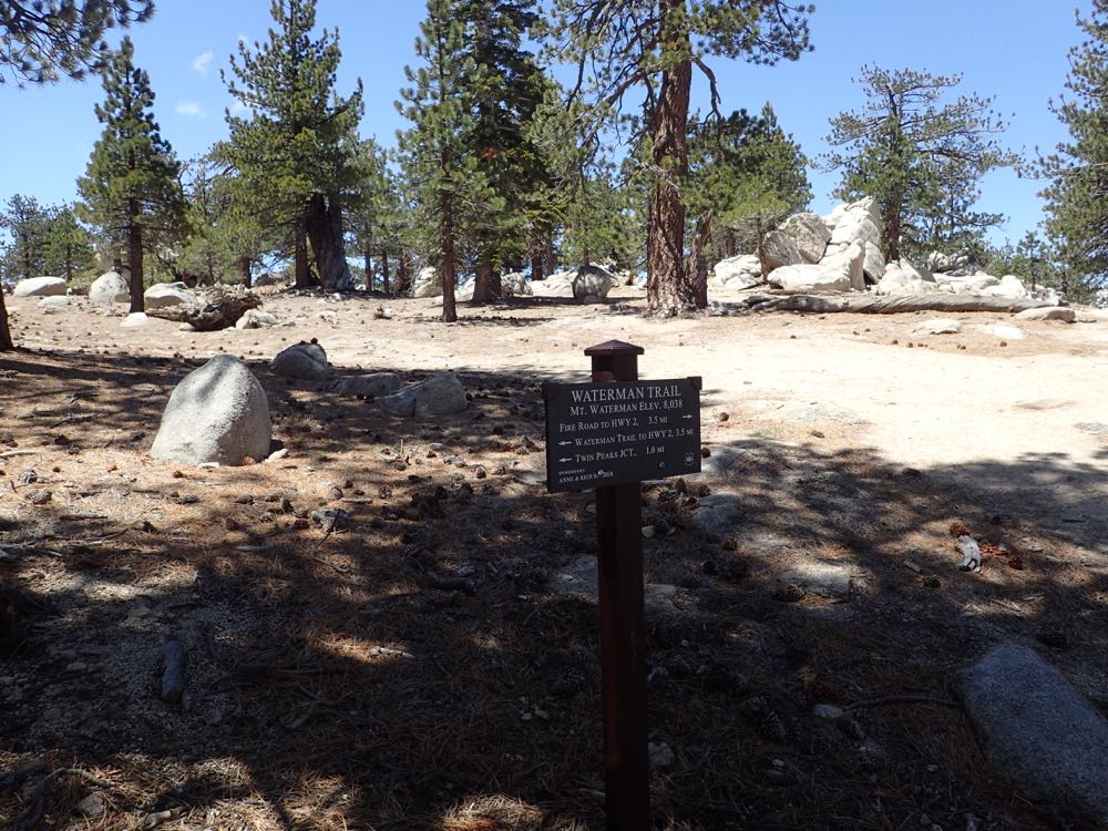
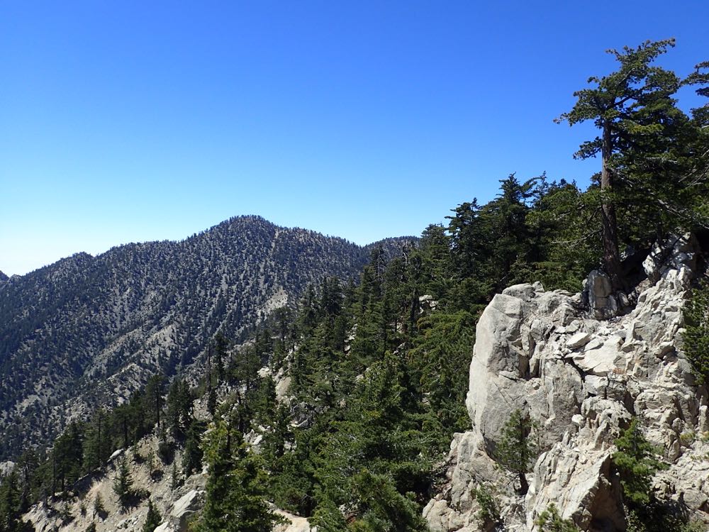
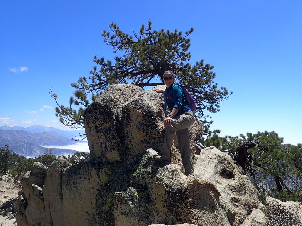
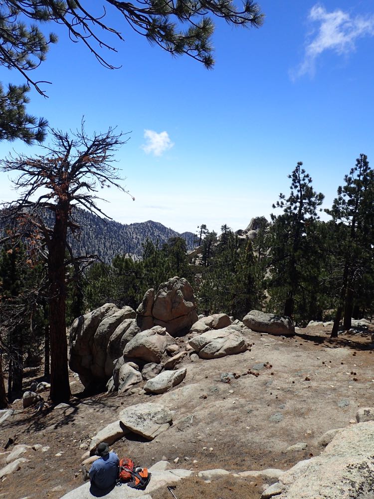
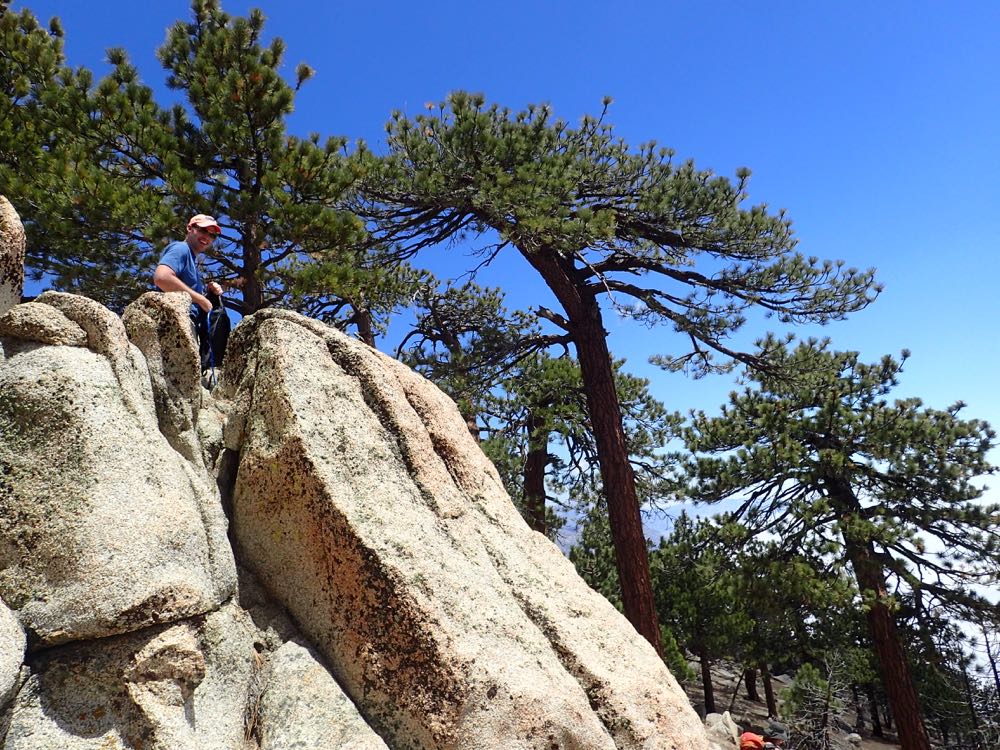
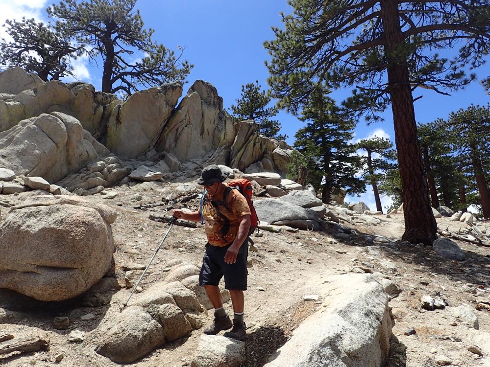
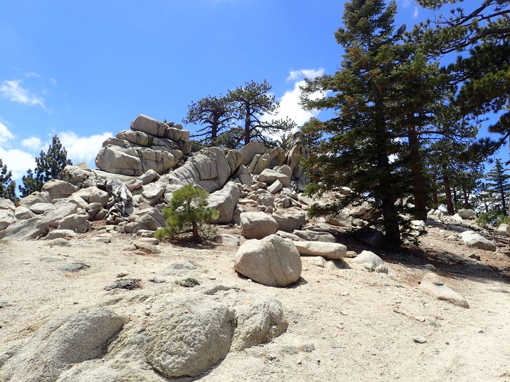
Either way the summit becomes obvious fairly quickly, and is the high point formed by a jumble of exposed granite.
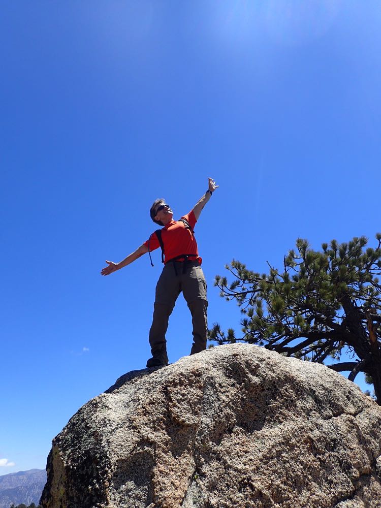
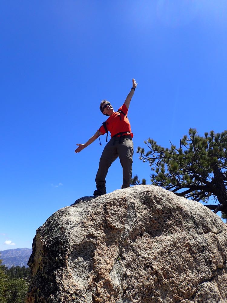
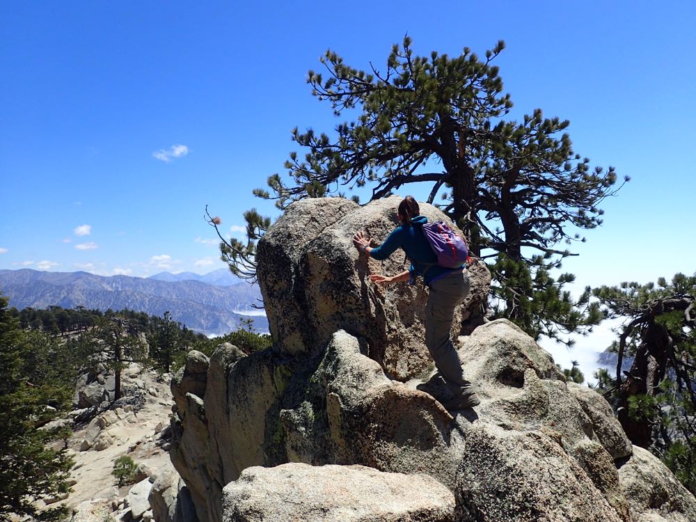
You can climb the boulders carefully and get some great views, and also some awesome shots of yourself to show off to your friends.
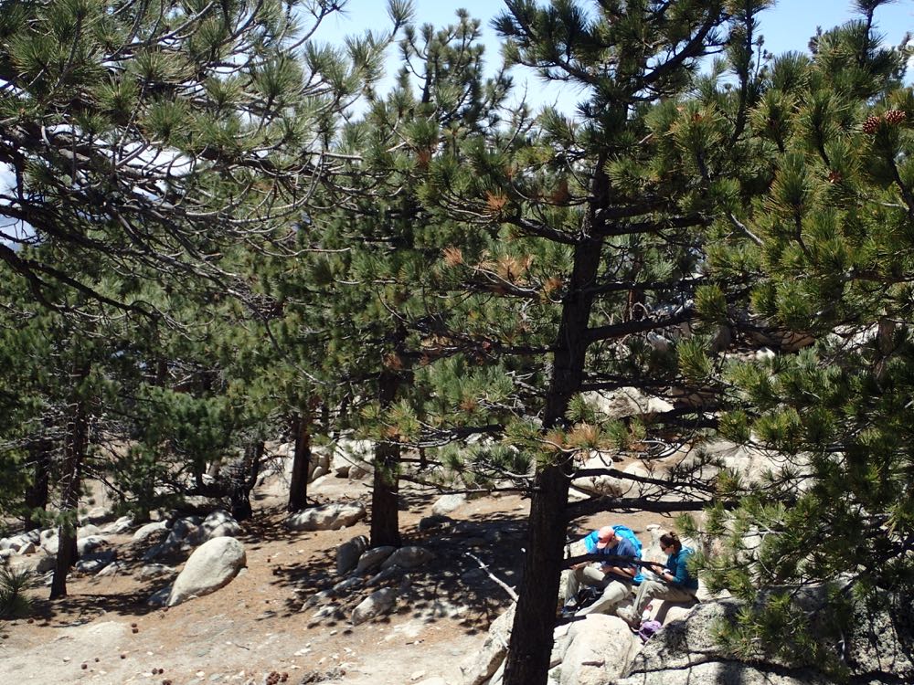
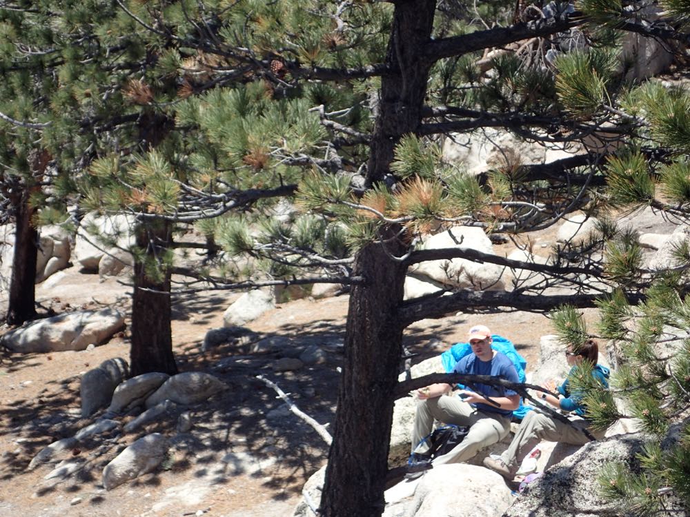
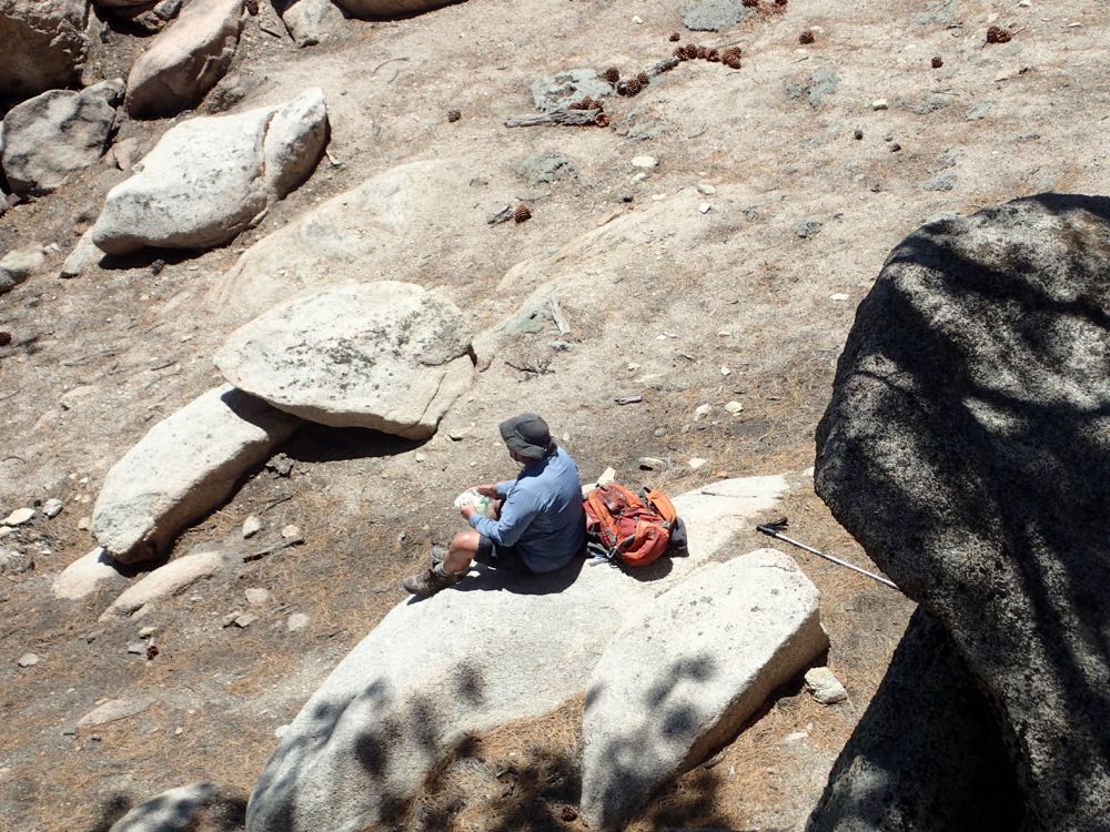
As mentioned above, there are some nice granite slabs around the summit that offer a relaxing and tranquil place to enjoy your lunch, or to soak up some sun.
After enjoying the wonderful views and exceptional serenity offered by this special location, simply retrace your steps back to your vehicle.
