Etiwanda Falls Hike – San Gabriel Mountains
Summary for Etiwanda Falls Hike

Difficulty
Easy to Moderate on good trail
Length
4 Miles Round Trip
time
Elevation Gain
700′
Summary
Well graded though shadeless trail to lovely tree-lined stream with multi-tiered waterfall 100′ total height
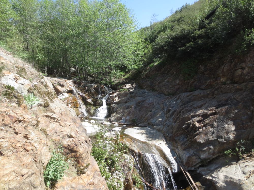
Etiwanda Canyon originates on the high ridge that runs from the east flank of Cucamonga Peak above Rancho Cucamonga. The waterfall itself is in the San Bernardino National Forest but the trail head and part of the trail are in the North Etiwanda Preserve, which is a San Bernardino County Park. Etiwanda Canyon is a lovely tree lined riparian gem with water flowing most of the year – especially higher up by the falls – but the trail itself does not follow the canyon and there is little or no shade until you reach the falls, where there are plenty of trees along the stream. So be careful on hot summer days – even though the hike is relatively short you will heat up fast on a shadeless trail like this. This hike is suitable for conditioned beginners and intermediate hikers, but all Southern California hikers should see this lovely fall at some point.
Directions to Trailhead for Etiwanda Falls Hike
Detailed Description for Etiwanda Falls Hike
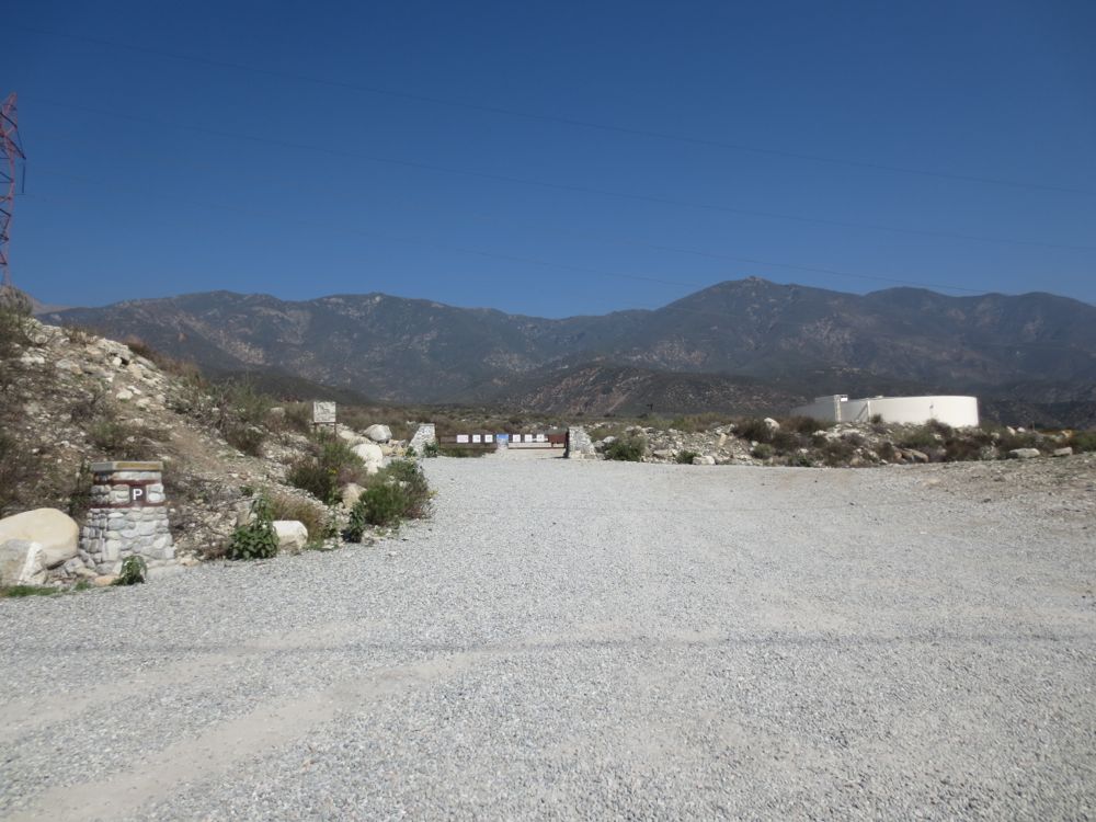
Once you have parked at the North Etiwanda Preserve lot – which happily has no entry or parking fees – walk past the gate at the end of the lot and up the wide rocky road towards the mountains ahead.
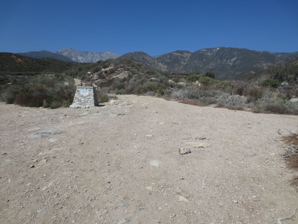
After about 0.6 miles along the rocky chaparral covered terrain you will encounter a trail junction marked by a large stone pillar – note its location on the GPX map above. Stay straight here past the pillar and do not go to the left as this leads to another area, Day Canyon, and not to the falls.
It may look like the trail goes right here at this junction as well, but this just leads to an overlook of the canyon, which you may want to check out as it shows you the wooded nature of the stream bed itself.
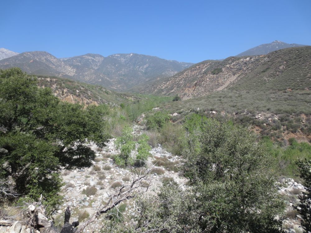
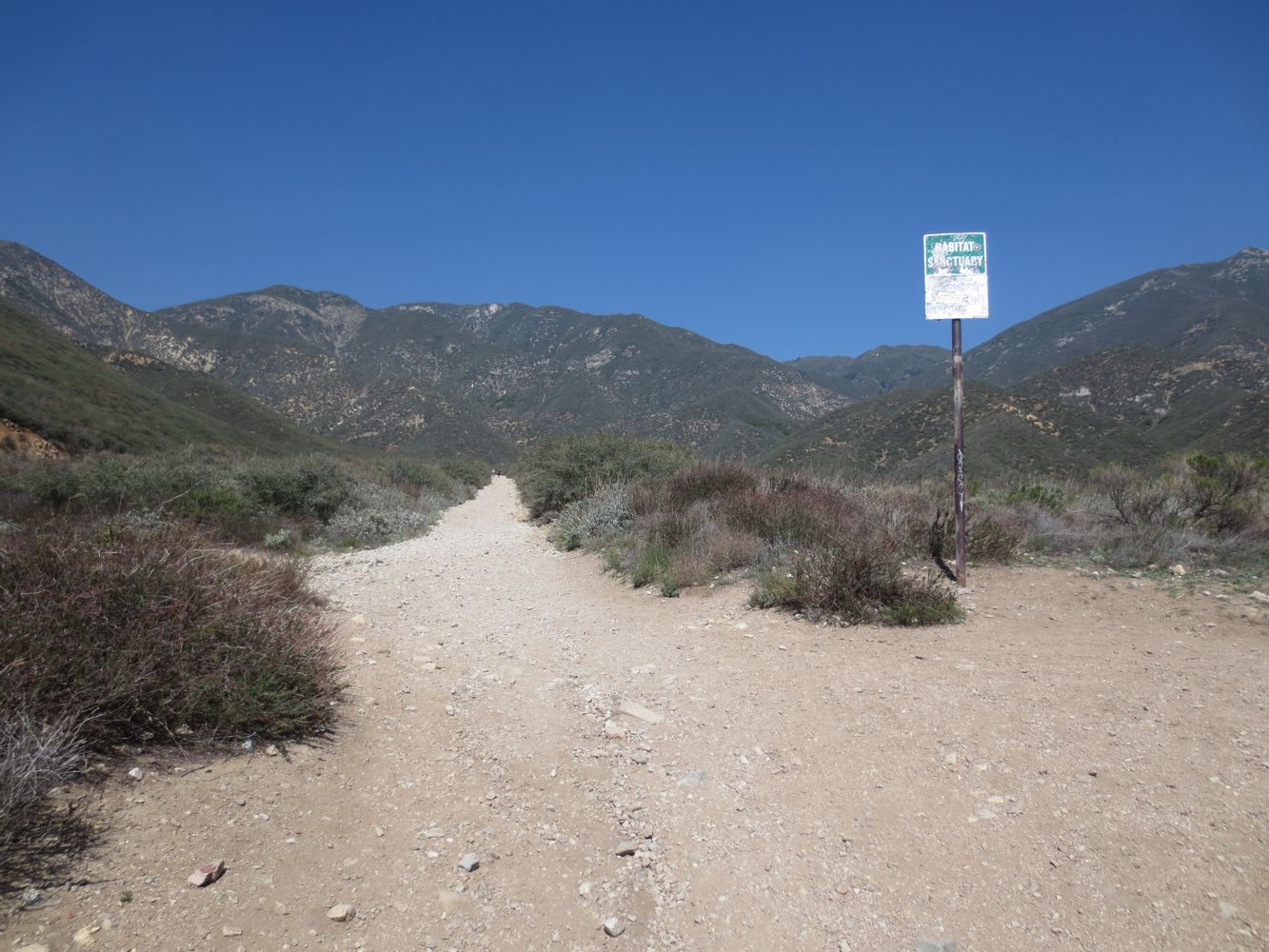
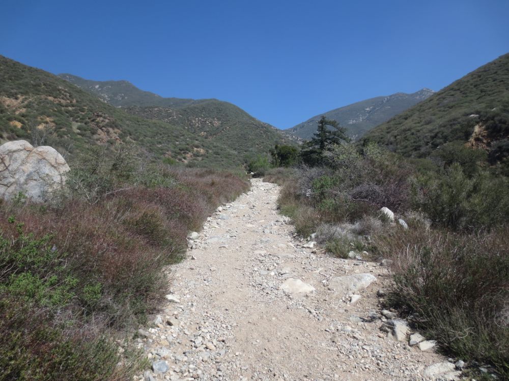
The trail ascends briskly but is well graded and not too steep, and at about 1.3 miles from the start you will encounter another trail junction – also noted on the GPX map above – where a dirt road leads off to the left. Again, stay straight ahead and do not go to the left.
You will crest a small ridge and then descend lightly before rising again – now you are getting closer to the stream and close to the falls. You will know you are very close when you encounter a strange concrete grated box which usually has water flowing from it. The falls are only about 100 yards past this, but make sure to stay on the road which goes slightly to the left at this point.
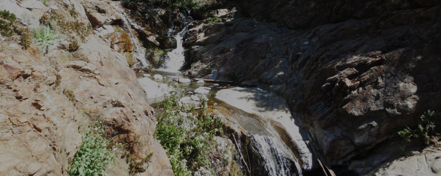
In short order you will suddenly arrive at the top tier of the surprisingly large and attractive Etiwanda Falls. Large granite slabs around the falls offer plenty of room for lounging and relaxing while enjoying the melodious voices of this multi-tiered wonder. Although the photos here show only the upper tiers, as you can see in the video below which was filmed close to the edge of the precipice, the falls include a couple larger tiers just below, bringing the total height of the falls to over 100′.
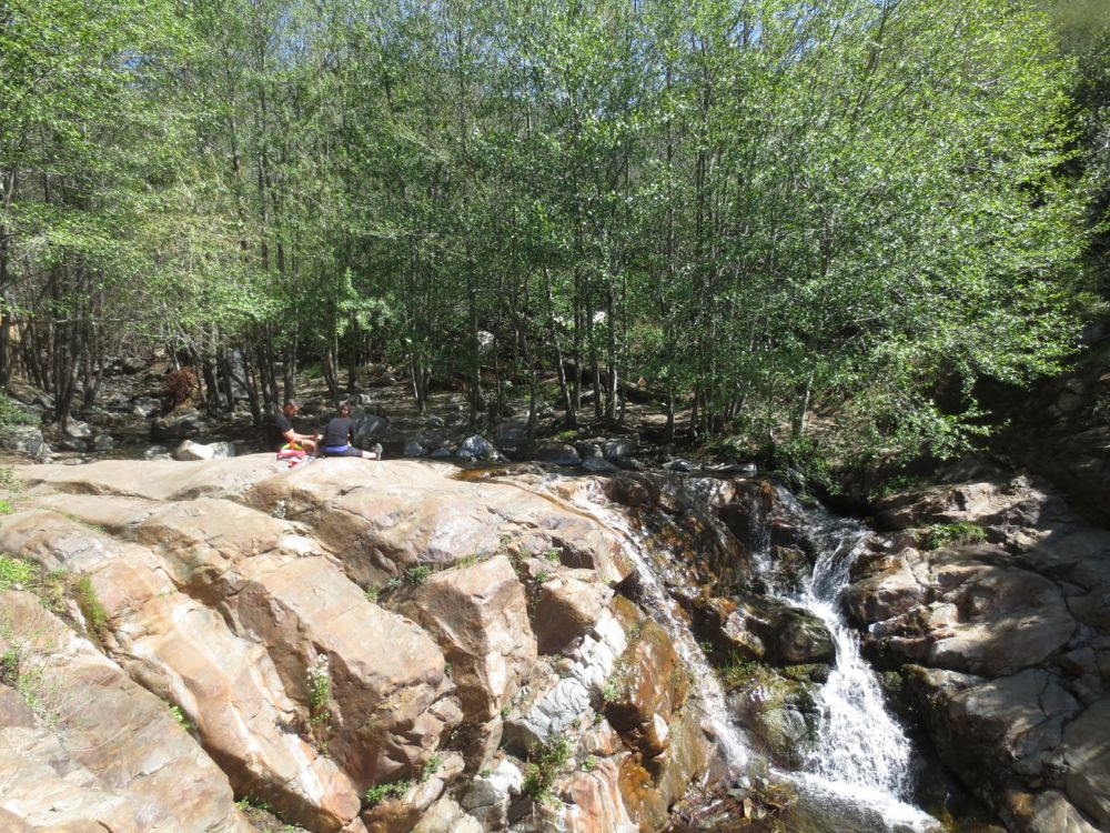
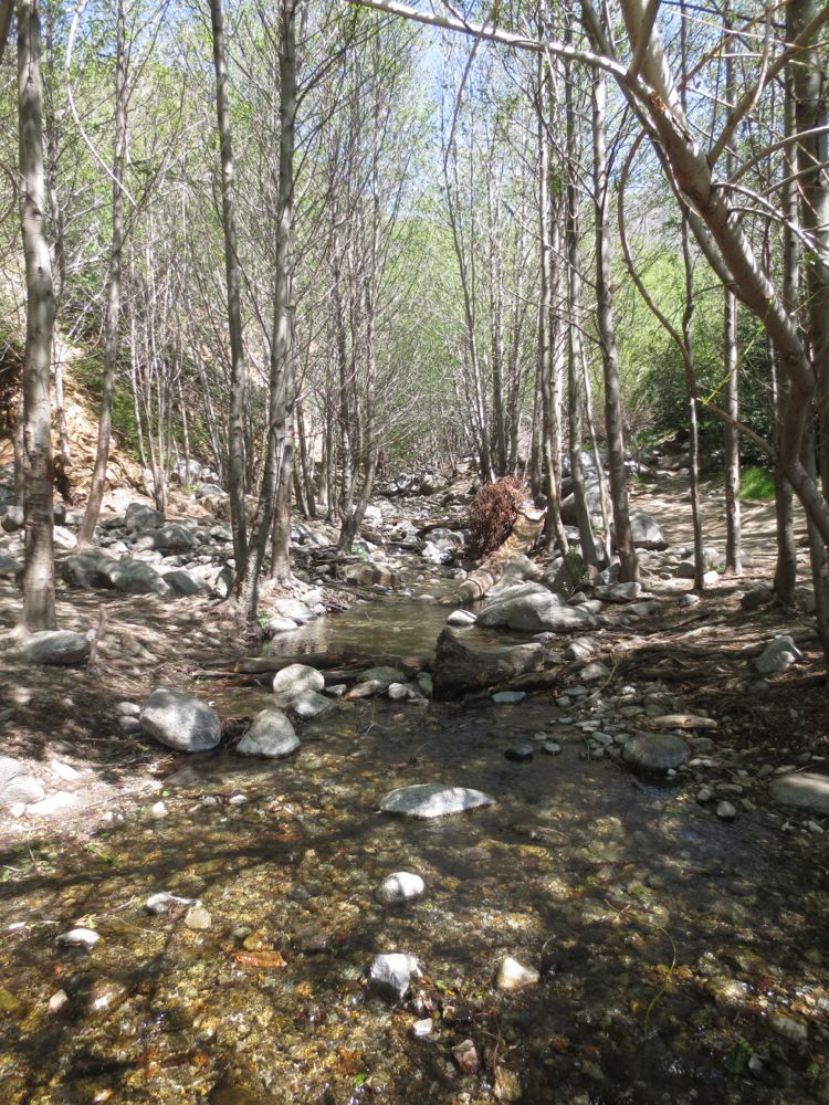
You will also want to walk a little ways up stream from the falls to experience the tranquil shaded canyon ahead, which is a true riparian jewel of the always fascinating San Gabriel Mountains. When you have finished exploring the area you may just retrace your steps back to your car.
Video of Etiwanda Falls
Etiwanda Falls on 3/14/2014. Note that the 2013-2014 rainy season was exceptionally dry, but on this spring day the flow in the falls was still surprisingly good.
