Devils Punchbowl Punchbowl Creek Hike
Summary for Devils Punchbowl Punchbowl Creek Hike

Difficulty
Moderate to strenuous Adventure Hike – Read Adventure Hiking Page
Length
7 Miles Round Trip
time
Elevation Gain
1,200′
Summary
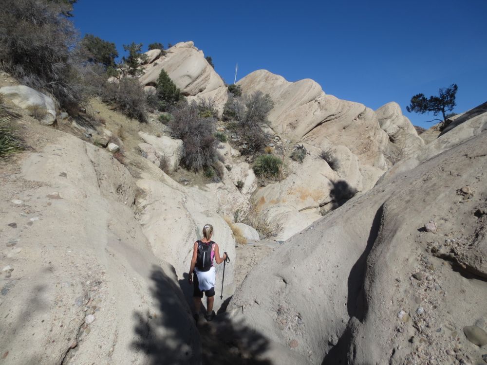
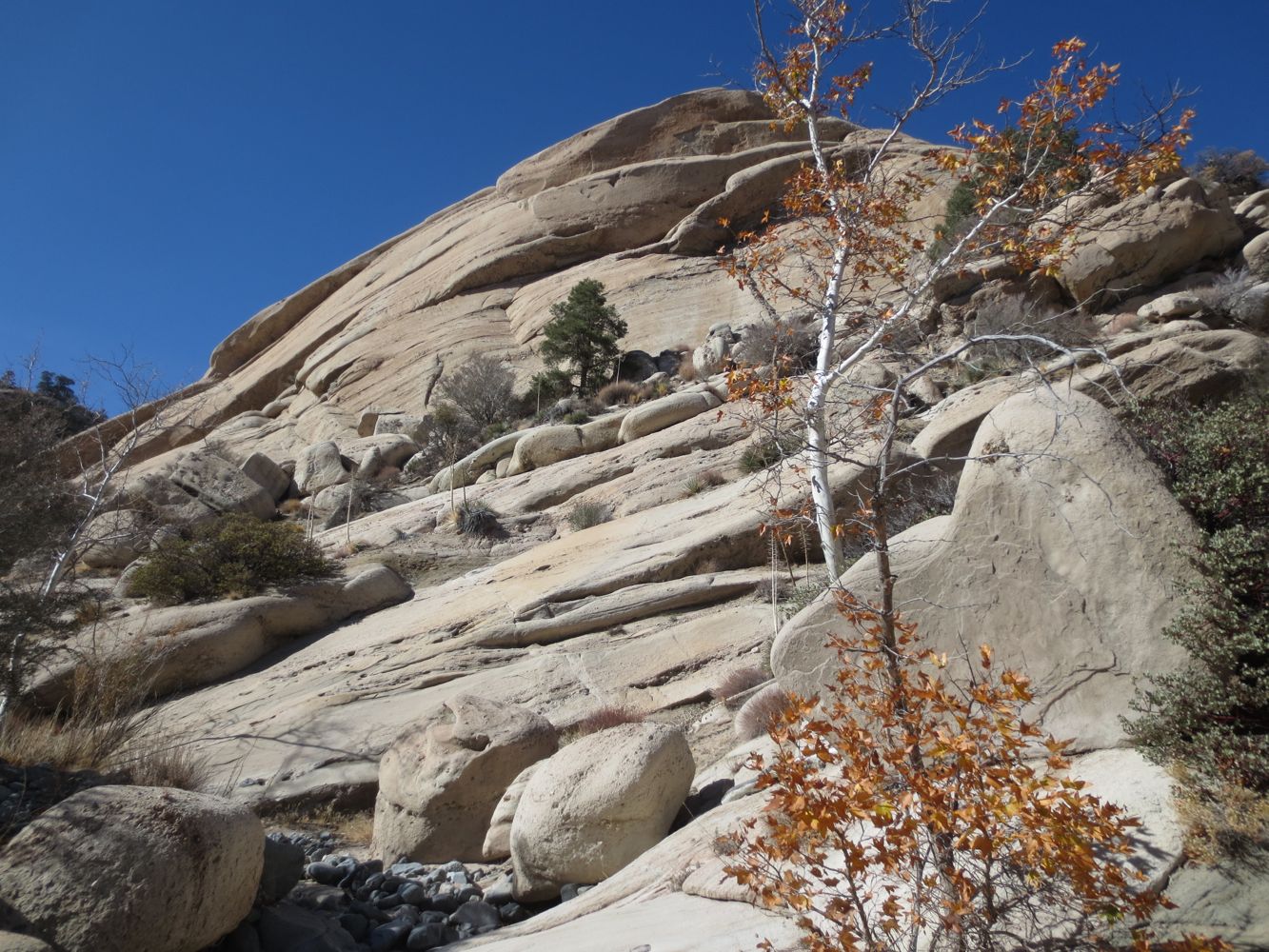
Dramatic sculpted sandstone and spectacular geologic formations, with waterfalls and pools in season, all deep in the bowels of the Devils Punchbowl far from the crowds on the defined trails. Mostly off trail with boulder hopping down stream and several areas of Class 3 scrambling.
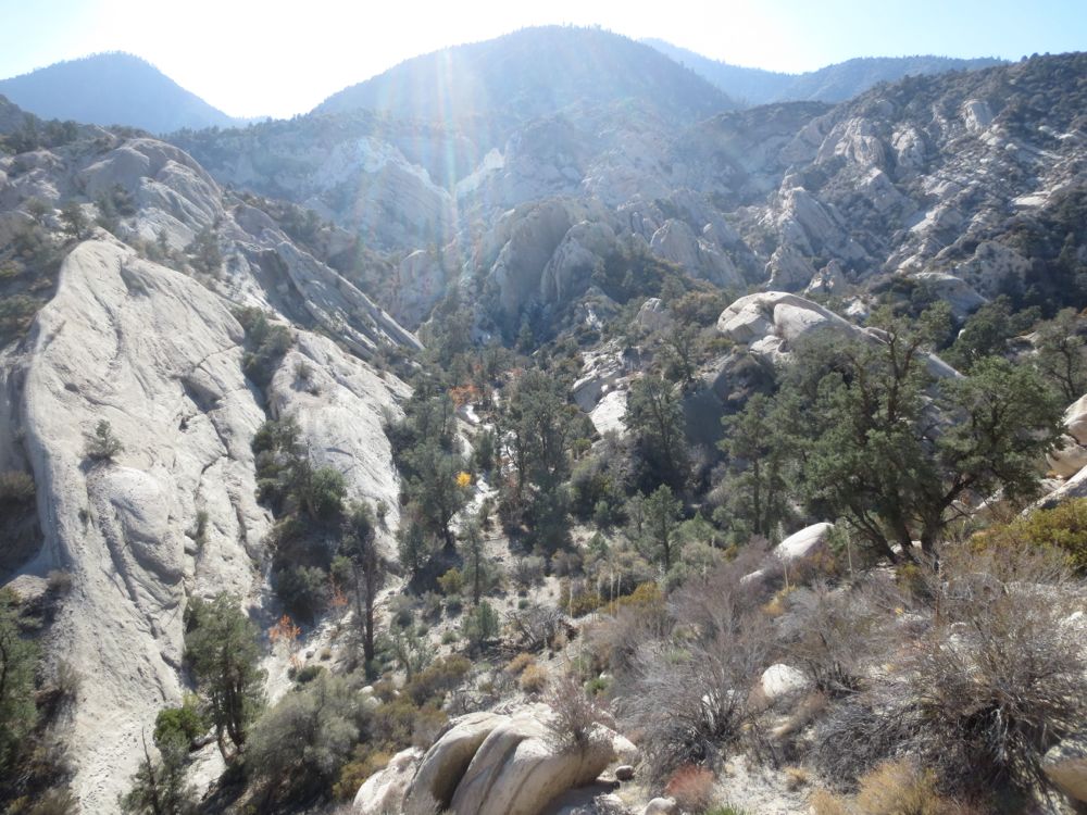
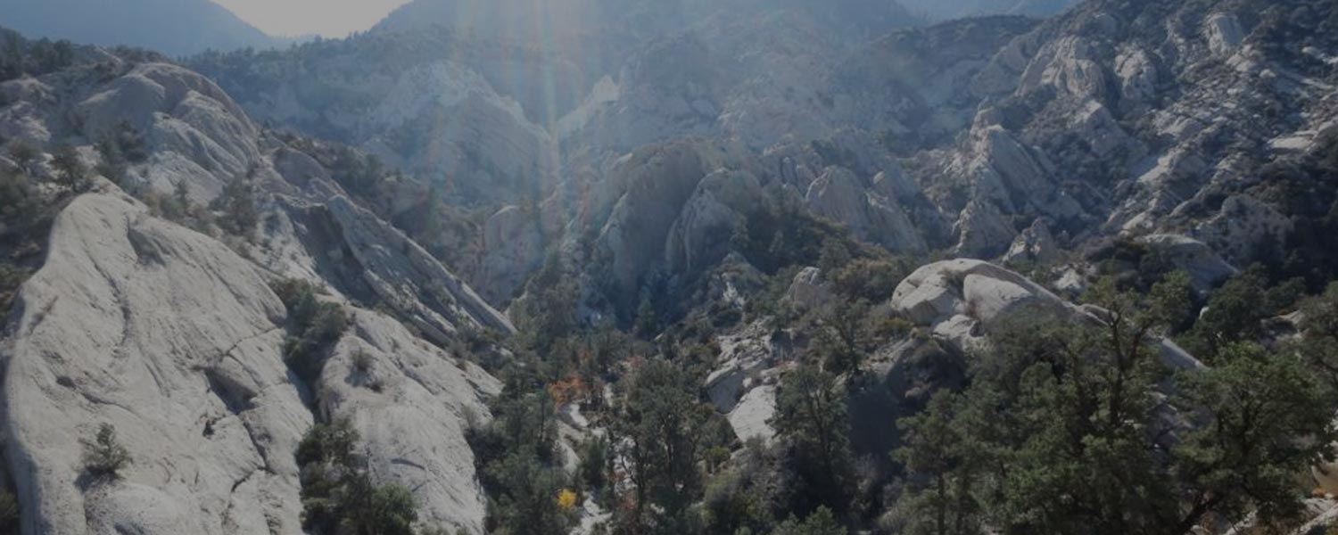
Punchbowl Creek drains a large portion of the spectacular geologic oddity known as The Devils Punchbowl, a massive jumble of sedimentary sandstone pushed and stretched into fantastic formations by the action of the famous San Andreas Fault. Your adventure takes you off trail deep into the Punchbowl formation, traveling down the carved sandstone stream bed of a tributary to Punchbowl Creek, then up Punchbowl Creek to a unique and amazing perspective of this remarkable area that few people ever see. The hike begins in the parking lot of The Devils Punchbowl Natural Area, which is a Los Angeles County Park, and thankfully as of this writing entry and parking are both free of charge.
Directions to Trailhead for Devils Punchbowl Punchbowl Creek Hike

Map of Devils Punchbowl Punchbowl Creek Hike with Downloadable GPX File
Detailed Description for Devils Punchbowl Punchbowl Creek Hike
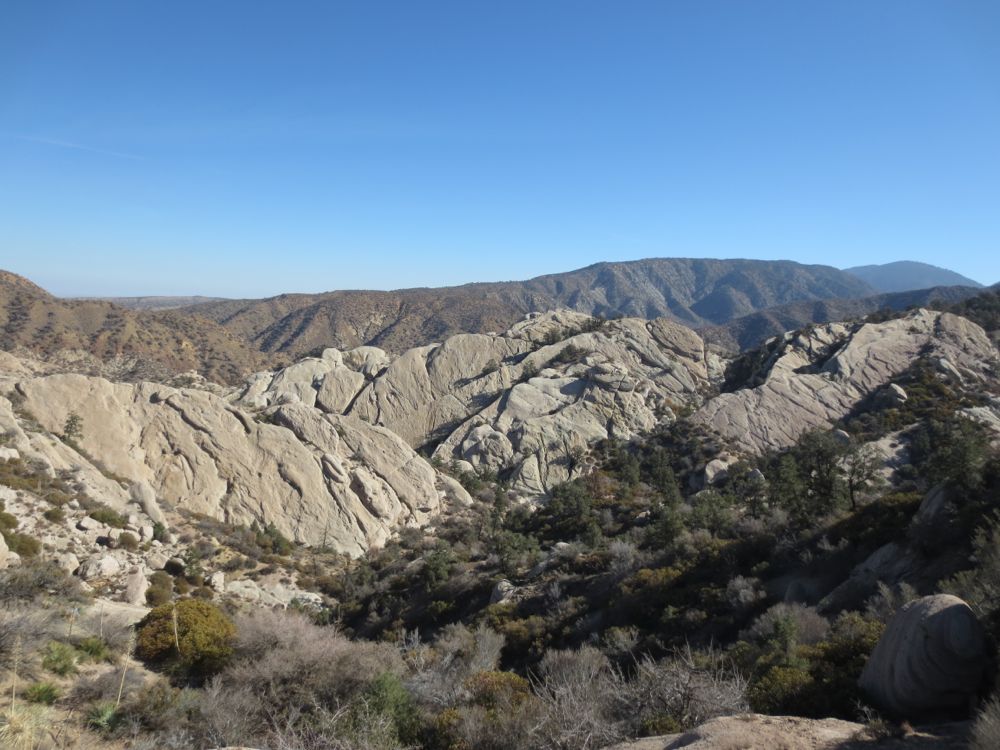
Once you have parked your vehicle walk to the edge of The Devils Punchbowl and enjoy your view of this amazing geologic formation. There is a park station here with maps and such, and you may want review the park map to get your bearings.
Start your hike by descending the Loop Trail to the left if you are facing The Devils Punchbowl. You will take this trail down to the stream bed, but at that point you will drop off trail into the stream bed and head downstream. The trail is easy to follow, and once you are at the low point of the trail where it turns back to the right just above the stream bed – as shown on the map above only about .5 mile from the start – you will want to drop into the stream bed.
Please make sure you remember this spot! You will want to physically mark it somehow, usually with some trail ducks. As in all hikes, and especially adventure hikes, route finding is a crucial skill. You may look at a junction and think – “I will remember this – it’s so distinct.” But you may not – particularly in terrain like this everything starts to look the same. As you descend – and on your way back – you will see many places that look quite similar. Do not depend solely on your memory – leave some physical indication at any junction where there is any uncertainty at all.
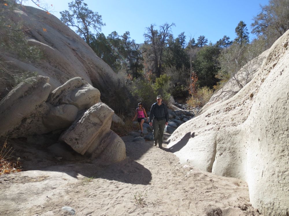
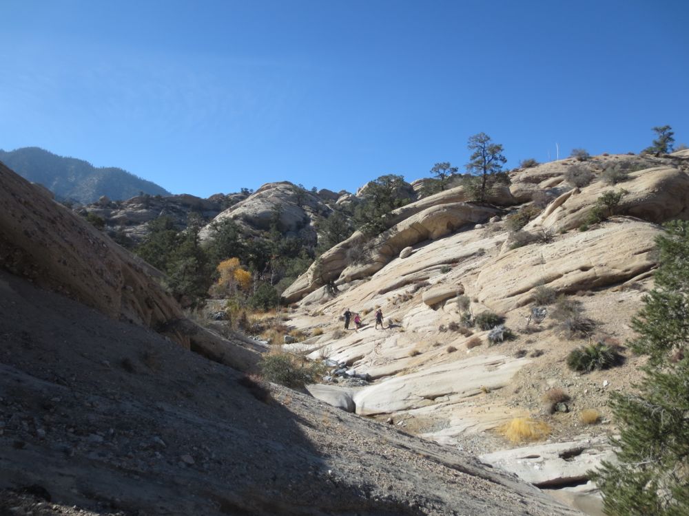
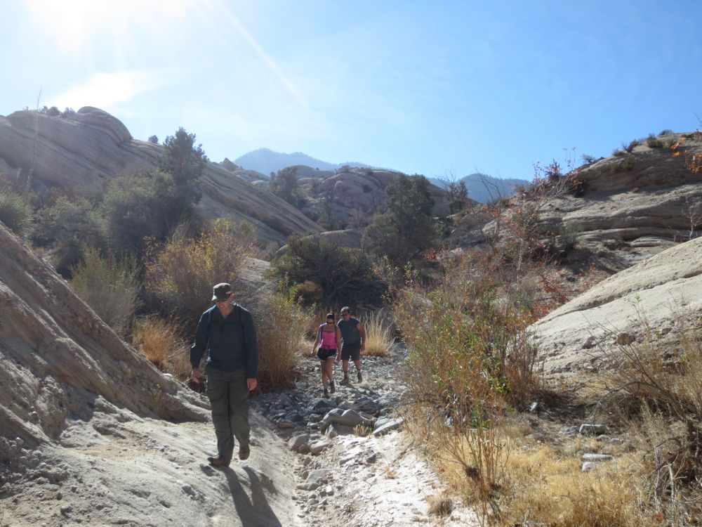
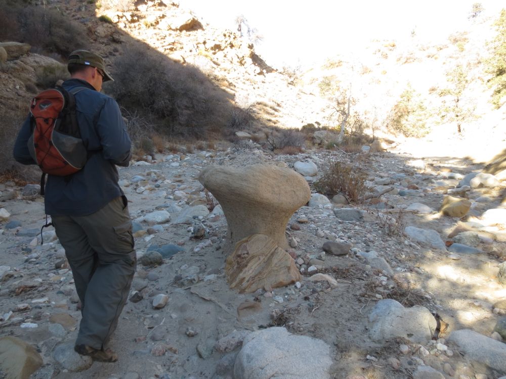
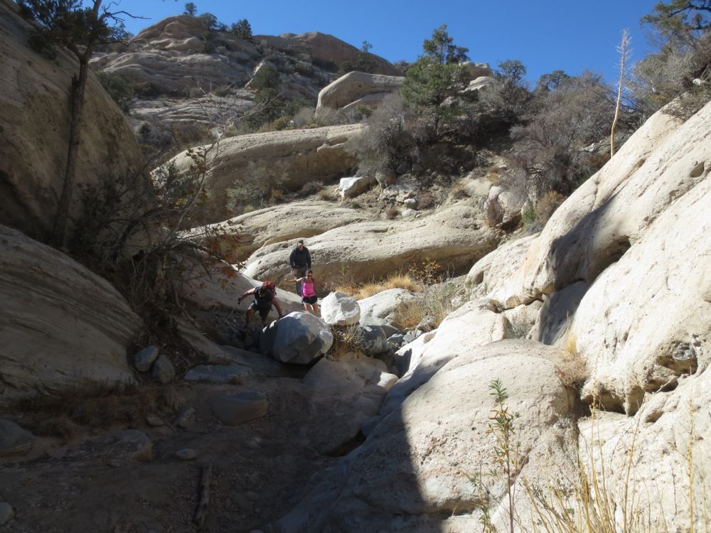
Now that you have marked the junction in way that you will note on your return, head to to the left, which is down stream. There may or may not be water flowing here, as this tributary drains a relatively small area. Note that this hike might be dramatically more difficult and dangerous if there is any decent amount of water flowing. As you descend you will encounter many spots where you will be forced to walk in the stream bed and climb formations in the stream, so use caution as you proceed.
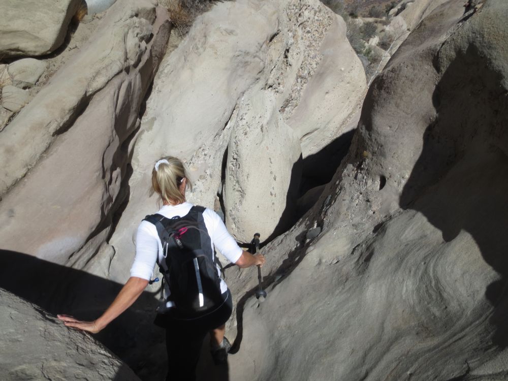
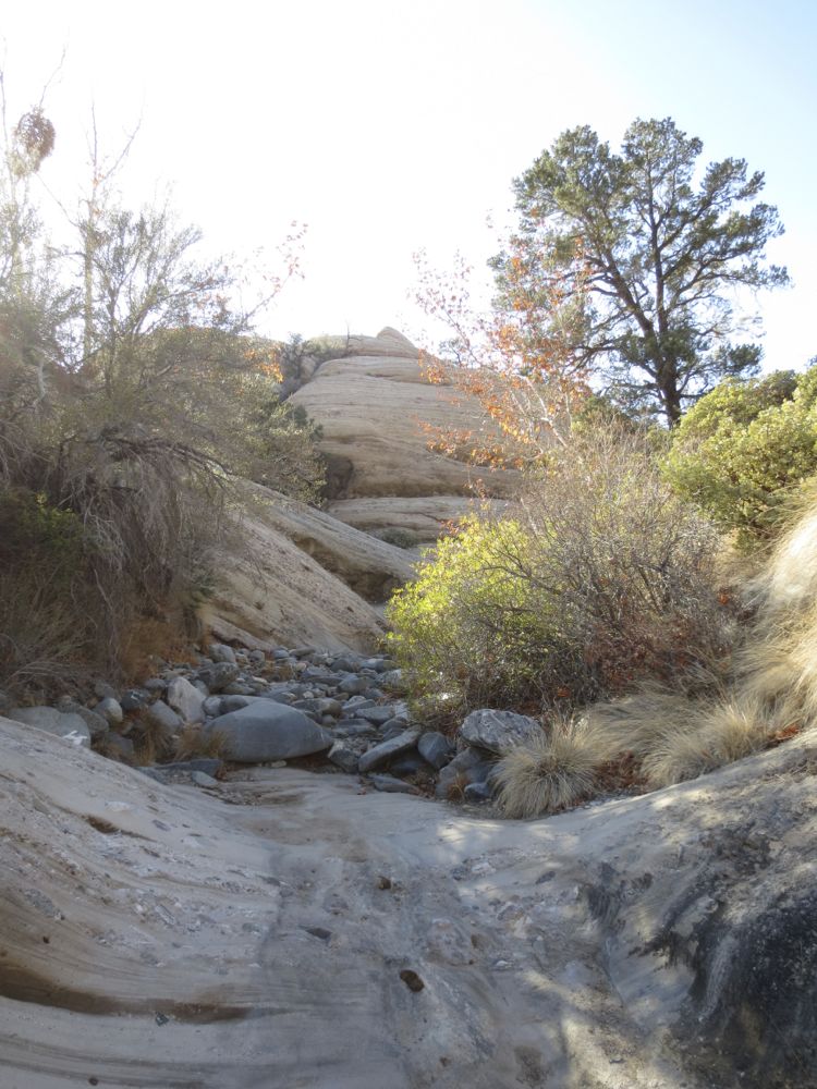
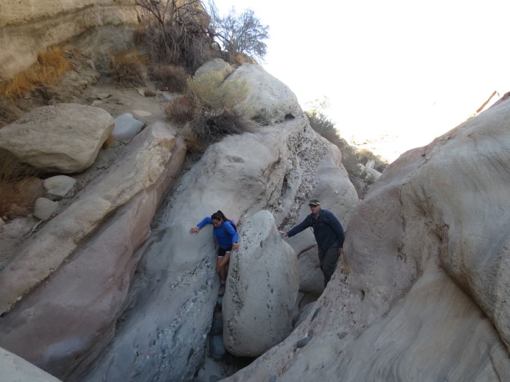
The hike continues as you descend into the depths of the formation. Soon you will begin to encounter some beautiful carved sandstone segments. There will be multiple spots where you will have to do some downclimbs.
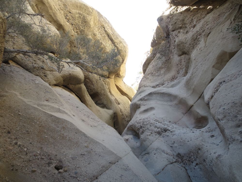
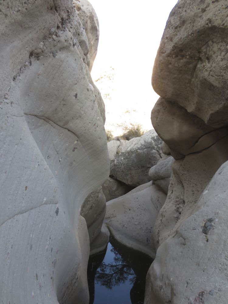
There are a couple of spots where you will encounter more significant obstacles, some lovely segment of water sculpted sandstone with small waterfalls and wonderful pools. When there is little or no water you can often go right down the center on some of these, but that may not be possible if water flow is high. Be very careful when traversing these, and note that sometimes it’s possible to start back further and go up the ridge on the side a bit higher. Choose your path carefully.
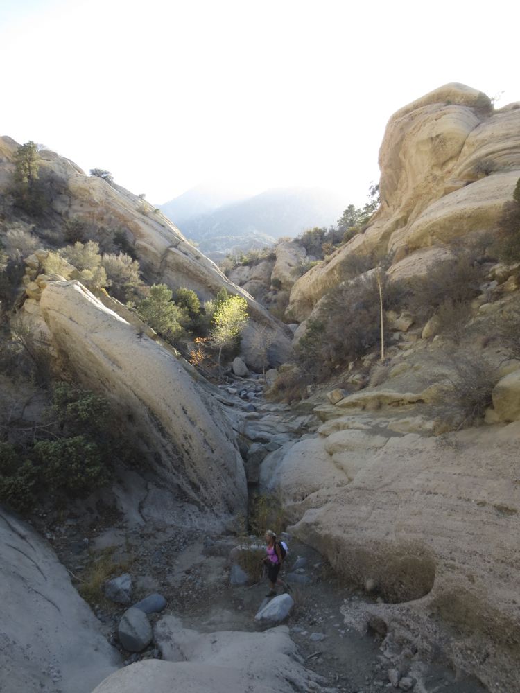
You will continue on for almost 2 more miles or so before you encounter the junction with Punchbowl Creek. But note that these are arduous, albeit beautiful and fun, miles. The canyon alternately narrows and widens, and many areas have small groups of trees and dramatic formations to satisfy your aesthetic nature.
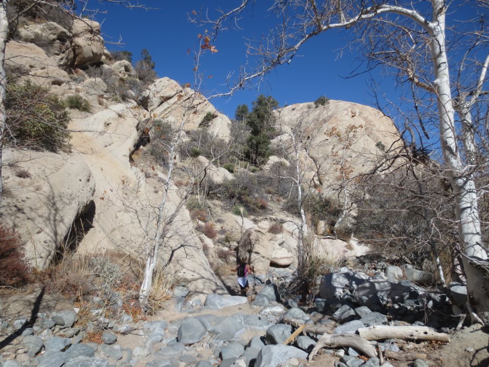
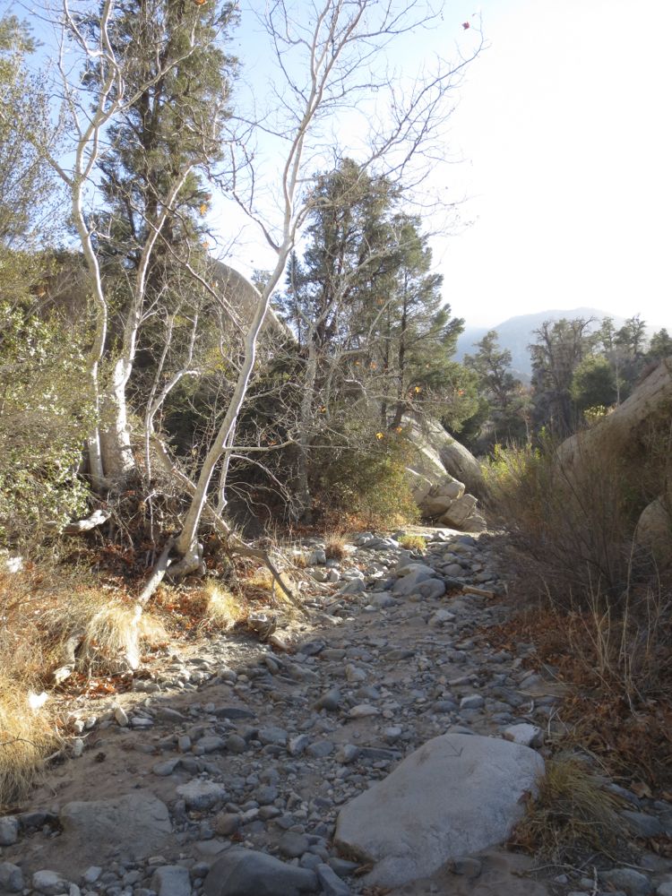
Watch carefully to find the junction with Punchbowl Creek which will be on your right at about 2.5 miles from the start. There are several other minor tributaries that you will encounter prior to Punchbowl Creek, and do not be fooled by these imposters. Punchbowl Creek is a wide and large stream bed and it also appears rather level at the point you encounter it. The stream bed ahead of you changes at this point because of the much greater water flow as seen in the picture.
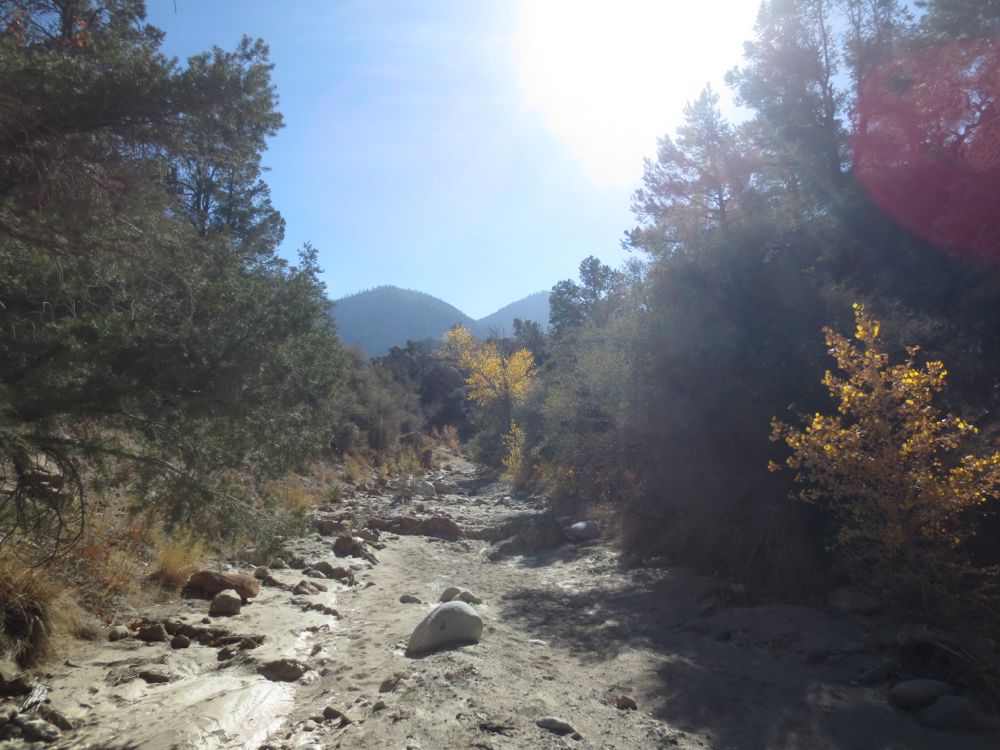
Note that Punchbowl Creek is itself a tributary of Big Rock Creek – a much larger stream that drains a huge area of the San Gabriel Mountains and has year round water flow – and which is only .5 mile downstream from here. You can see on the map above how close you are to Big Rock Creek at this point, and its possible to come up from there to this point as well, but not as adventurous.
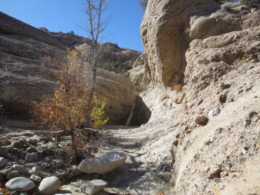
After you have turned to the right to go up-stream in Punchbowl Creek, you will have smooth going until you see in front of you a 15′ waterfall. There is a log propped up directly in the fall, but note that this may not be a safe route if water is flowing, and is a bit dicey anyway, so be advised that you can also fairly easily bypass it on the left side by starting your ascent 100′ or so before the fall .
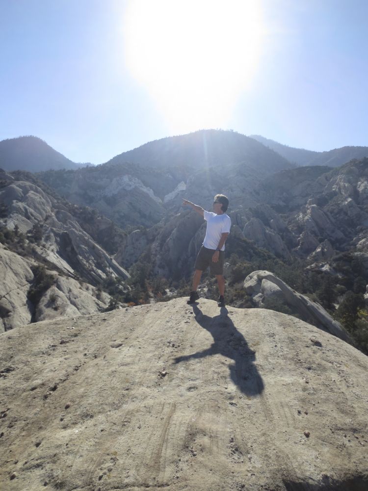
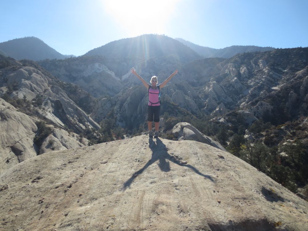
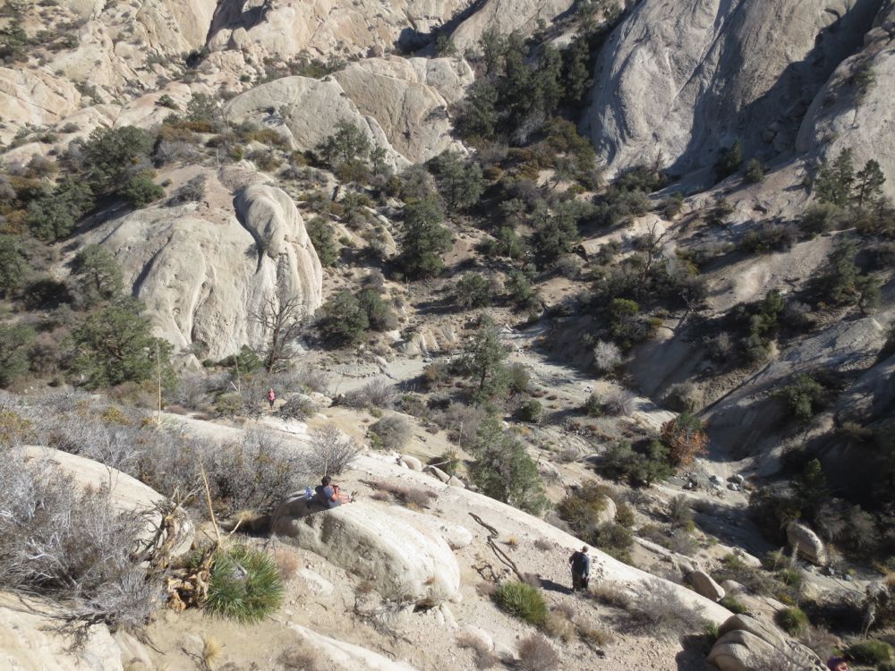
Once you have bypassed this waterfall, you will continue on, moving forward up the stream bed, now deep in the bowels of The Devils Punchbowl. You will soon come to a spot where the view opens up, and you can see the opposite side of the Punchbowl. Here my companions and I chose to climb one of the rock formations to the right, and to have lunch and rest here. But you may choose to continue on, and a good choice wold be to hike all the way to the base of The Devils Chair formation, which you can see on the white jagged cliff segment on the far side of the canyon. Or explore further as you choose, making sure to use careful route finding and to be certain you know your way back.
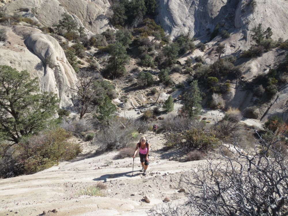
The view from atop these formations across the punchbowl is magnificent, and you will feel a strong sense of accomplishment as you gaze across this spectacular example of Universal Creativity. Once you have enjoyed this unusual and wonderful place, retrace your steps – using judicious route finding – back to the point where you dropped off trail, and up the trail back to your vehicle.
