Cooper Canyon Falls Hike
Summary for Cooper Canyon Falls with Optional Buckhorn Falls Hike

Difficulty
Moderate to Cooper Canyon Falls; Moderately Strenuous to Buckhorn Falls
Length
5 Miles Round Trip
time
5 Hours
Elevation Gain
1,000′
Summary
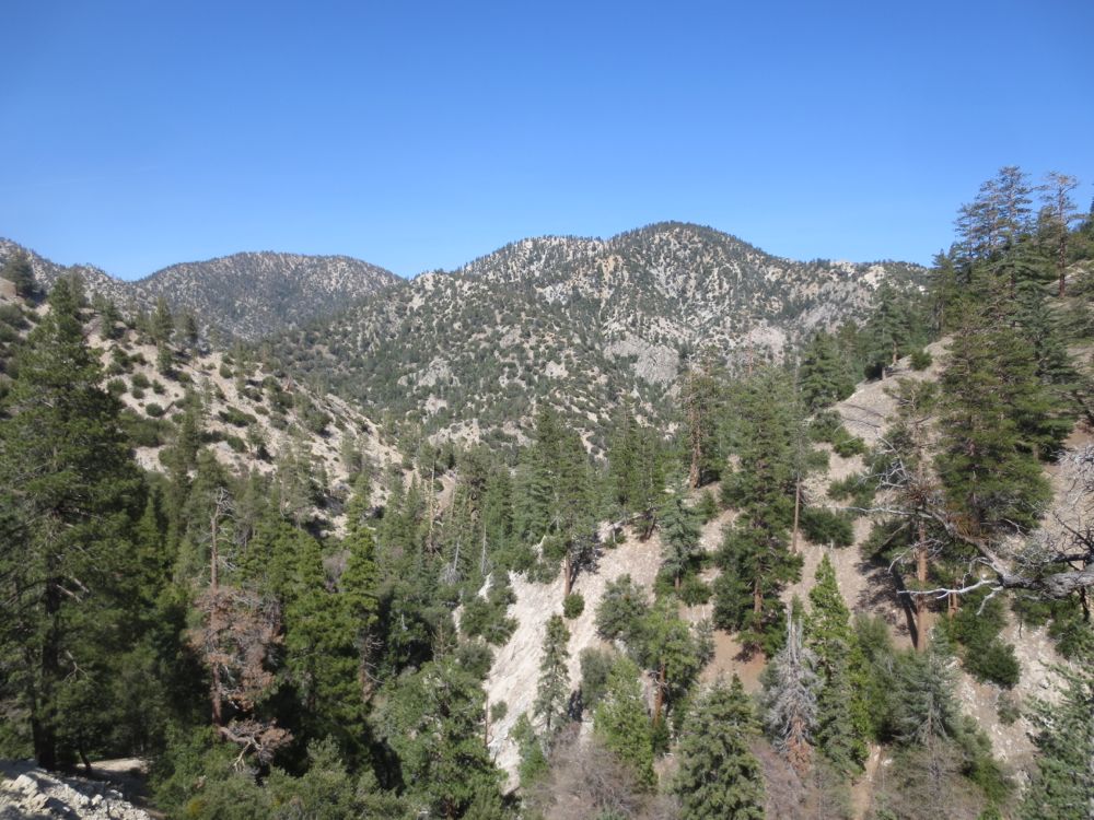
The San Gabriel high country at its best – alpine scenery, old growth pines and cedars, lovely waterfalls. Good trail and easy to follow to 35′ Cooper Canyon Falls. Moderately strenuous yet demanding off-trail scrambling up Buckhorn Canyon to 70′ waterfall.
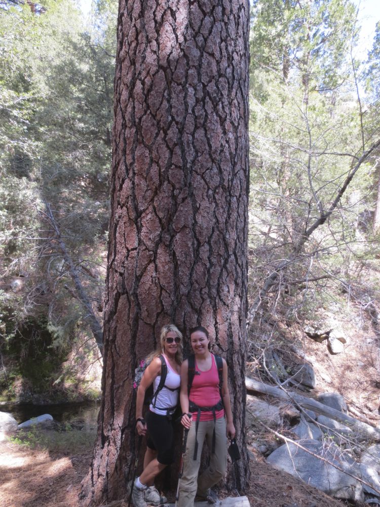
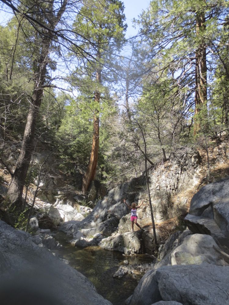
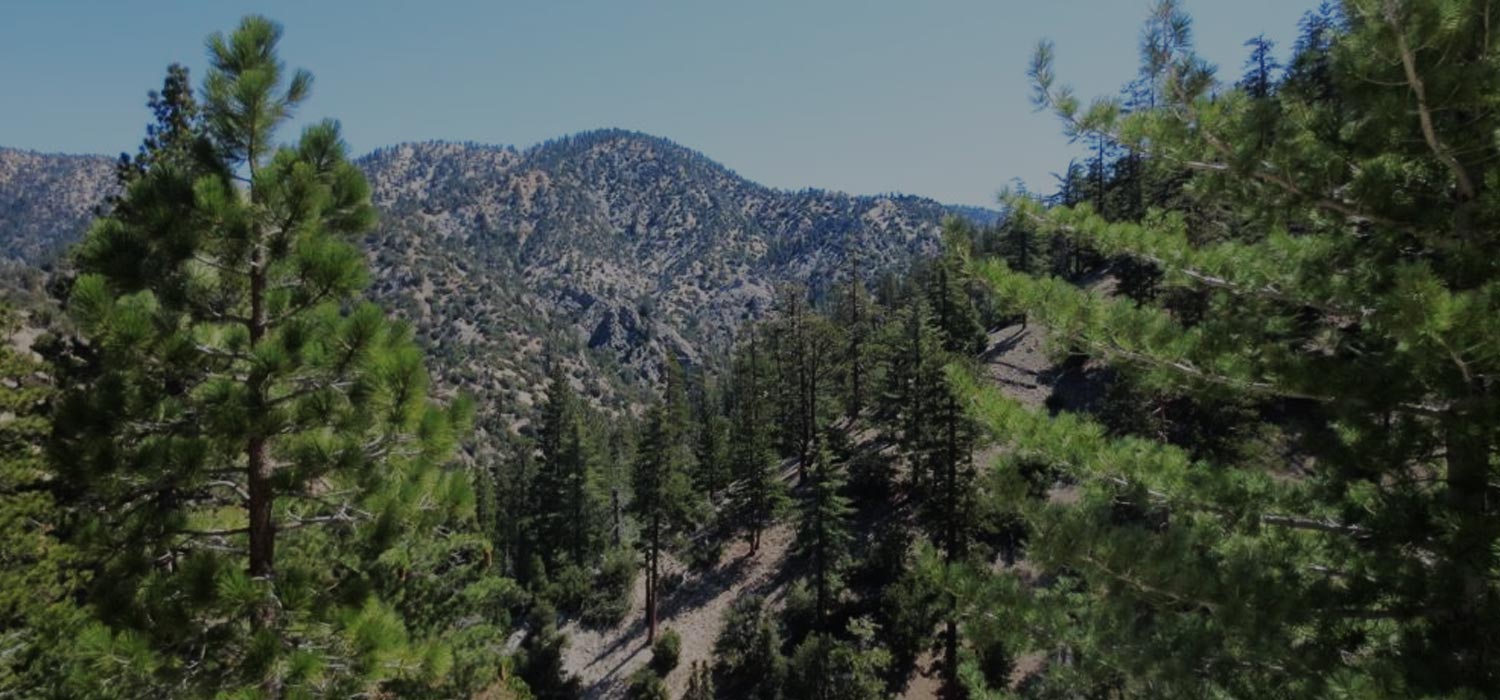
Cooper Canyon is a bit of a drive, about 40 miles from the start of SR2 in La Canada/Flintridge, but well worth the trip. This is without question one of my very favorite areas in all the mountains. You will feel transported to another state or country for an afternoon. The spectacular alpine terrain, huge old-growth pines and cedars – some of the largest extant in Southern California – and sparkling, crystalline, streams coupled with lovely waterfalls makes this one of the true jewels of our local mountains.
Buckhorn Campground, where the trailhead is located, is itself a hidden gem, given its location in this remarkable area. This area was the territory of Shoshonean Native Americans, and you can still find granite boulders with mortar holes worn into them due to centuries of grinding acorns. The white hunters who came into the area to hunt used Buckhorn as a hunting camp, and according to noted mountain historian John W. Robinson, the name Buckhorn comes from that era when a pair of huge deer buck horns were nailed to a tree. This hike takes you from Buckhorn Campground down Buckhorn Canyon to Cooper Canyon, then to lovely 35′ Cooper Canyon Falls. On the way back you can head up the stream of Buckhorn Canyon about .75 mile to the base of a rarely visited 70′ waterfall that you will likely have to yourself. This is an amazing area and one that every Southern Californian should experience.
Directions to Trailhead for Cooper Canyon Falls with Optional Buckhorn Falls Hike

Map of Cooper Canyon Falls with Optional Buckhorn Falls Hike with Downloadable GPX File
Detailed Description for Cooper Canyon Falls with Optional Buckhorn Falls Hike
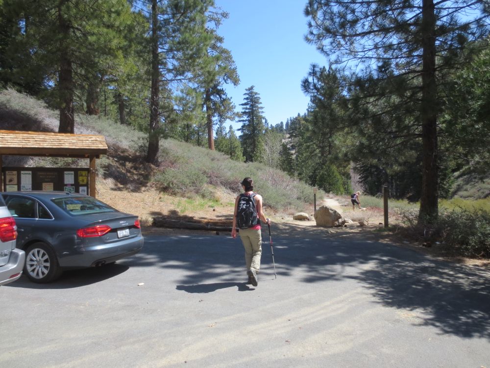
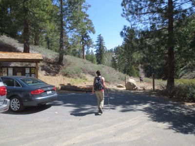
The trailhead for the Cooper Canyon Falls hike starts at the Day Use Parking Lot (34.347510,-117.911270) at the far end of Buckhorn Campground.
Note that Buckhorn Campground is not open year round. It closes during the winter from the first major snows until the snows clears to a reasonable level – November/December until April/May. If it is closed you can park at a parking area on SR2 not far from the campground entrance (34.343403,-117.921228), or at the exit (34.343755,-117.909517) which has a large dirt parking area outside the gate about .75 mile further down SR2 from the entrance. It’s actually better to park at the exit because it’s a little shorter and not as steep, but either way you will add about .75 mile in and .75 miles out to your hike. This hike assumes you have driven (or walked), all the way through the campground, looked for and followed the Day Use signs, and then parked at the Day Use Parking Lot. Display your adventure pass wherever you park in or out of the campground.
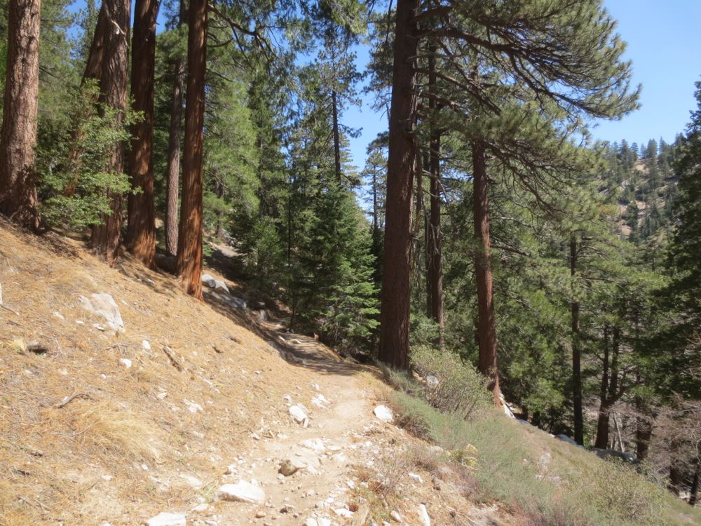
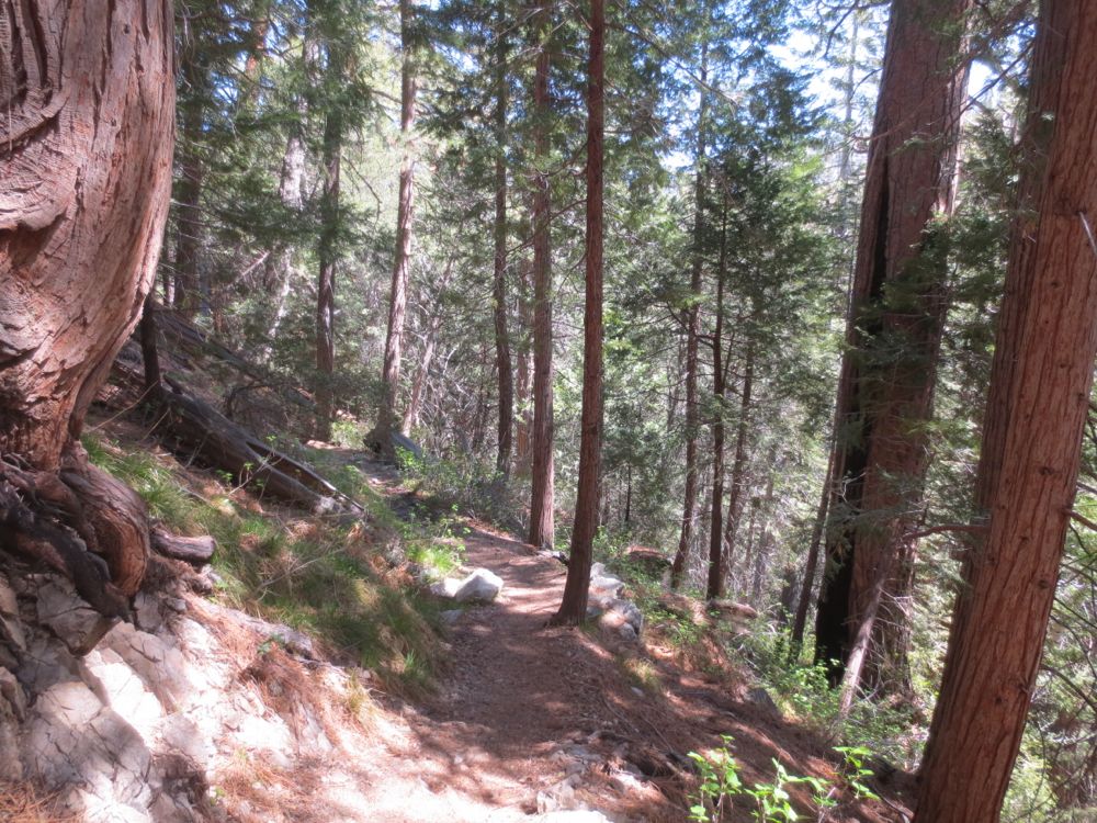
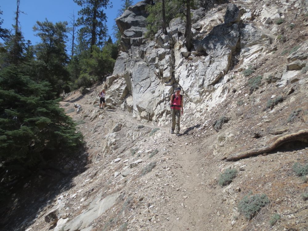
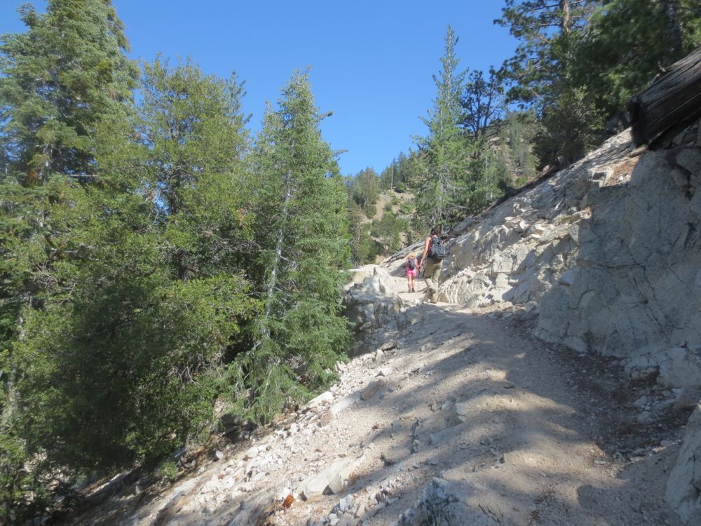
Now proceed down The Burkhart Trail, which descends Buckhorn Canyon, a tributary canyon of Cooper Canyon. It’s quite beautiful immediately, and you will soon see and hear lovely Buckhorn Creek to your right and below. You will see several nice little waterfalls and attractive pools below along the bubbling creek, but your hike ahead includes more dramatic and exciting ones, so don’t be seduced by the song of these sirens, and stay your course. You can explore down there at some future date, or on your return, if you so choose.
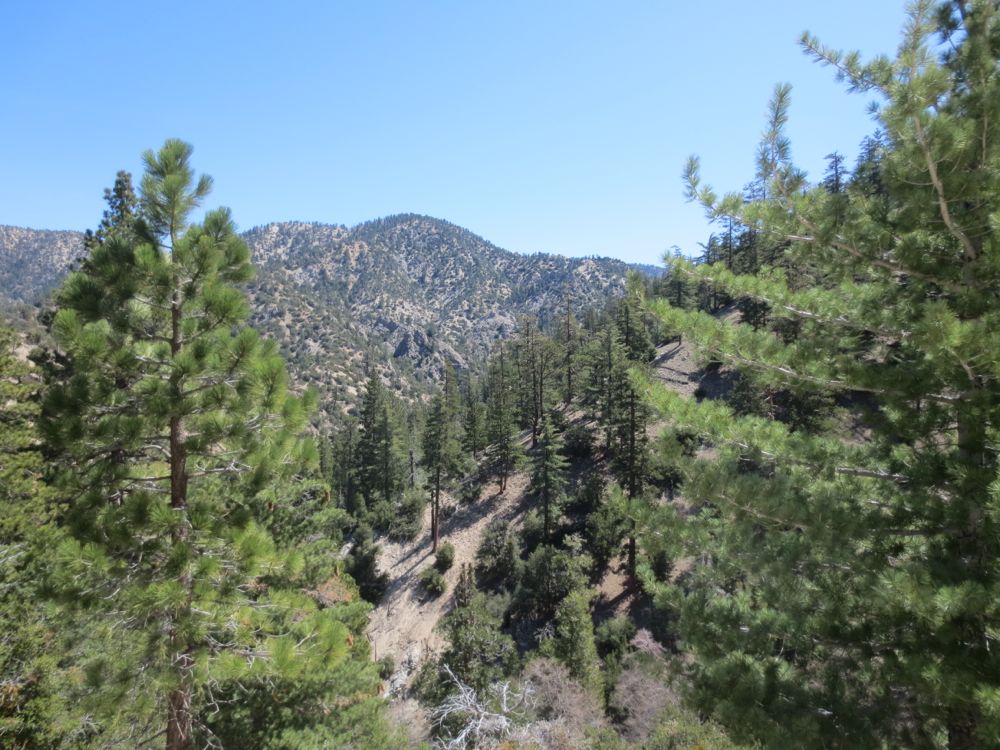
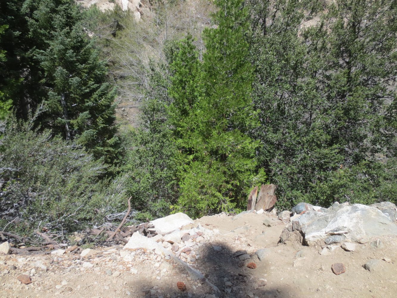
The views get better as you travel further down into this magical alpine wonderland. After about .75 mile in and at 6050′, try to look out for Buckhorn Falls – you will see a section of the gorge below where the walls squeeze together, then a dramatic elevation change beyond that, which is of course the location of the 70′ tall fall. You can normally hear it as well, especially in the spring. A steep use trail goes down to the falls here, but it’s difficult and dangerous to get a really good view, so you may want to save your energy for the optional hike upstream to the base of this fall.
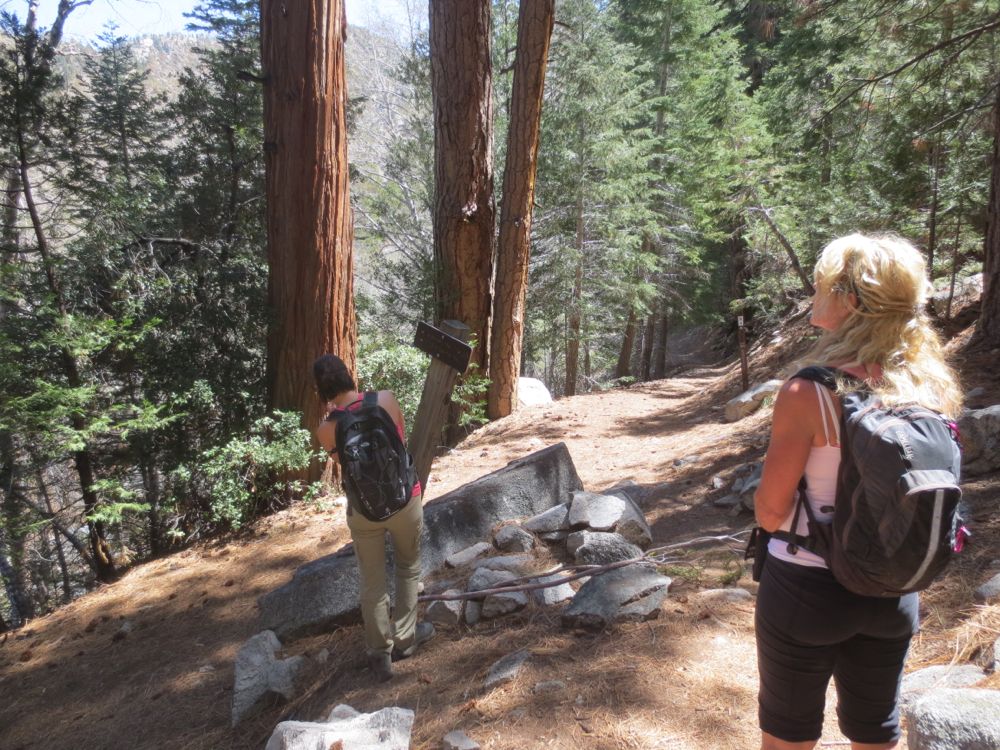
After about 1.2 miles the trail turns to the east as you enter the alpine wonderland of magical little Cooper Canyon. Now you are closer to the mellifluous mountain stream as it cascades through the old growth pines and cedars, which are remarkably large here. After about .2 miles into Cooper Canyon you will encounter the confluence with Buckhorn Creek coming in from your right – this will be the route for your journey up to Buckhorn Falls, but for now continue on the trail ahead. Not long after this you will encounter a trail junction where the Pacific Crest Trail goes across the stream to the left – you will stay straight ahead.
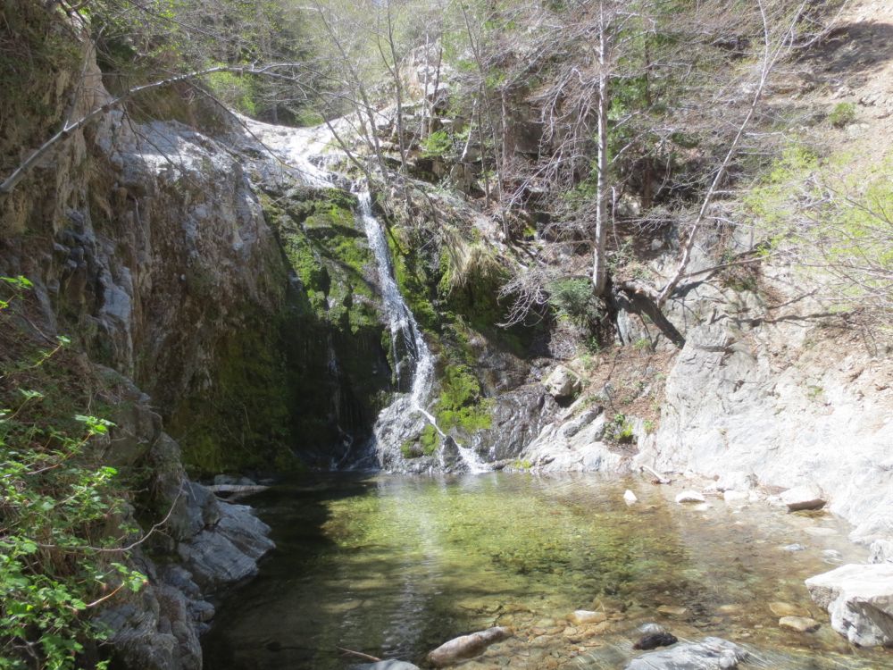
Only about 50 yards past the junction watch for the sloping granite in the stream bed indicating the beginning of Cooper Canyon Falls. Watch for the use trail, marked on the map above, at which you can descend to the beautiful grotto and pool at the base of the falls.
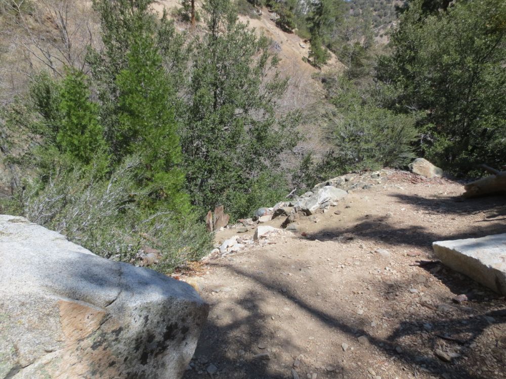
Descend this unmaintained and potentially dangerous use trail to the base of Cooper Canyon Falls at your own risk. The trail drops quickly to a point where an old rope is tied to a tree, but never place your full trust in a rope you that is not your own.
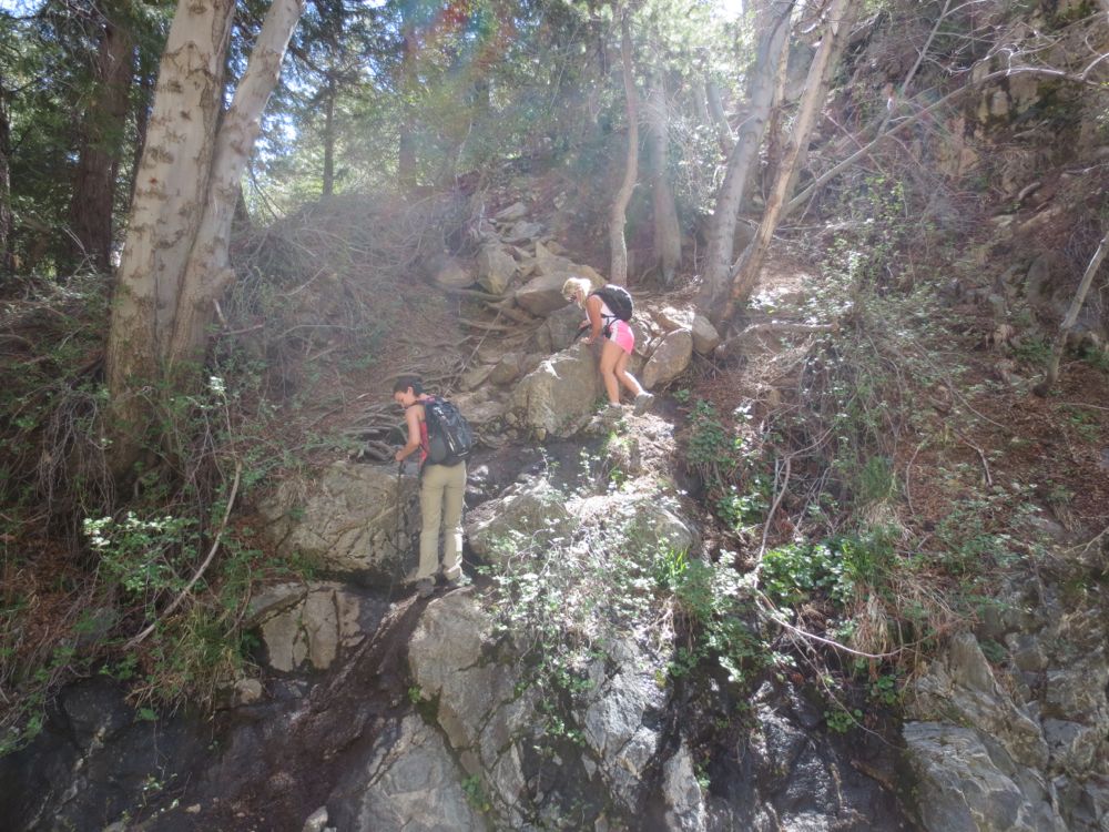
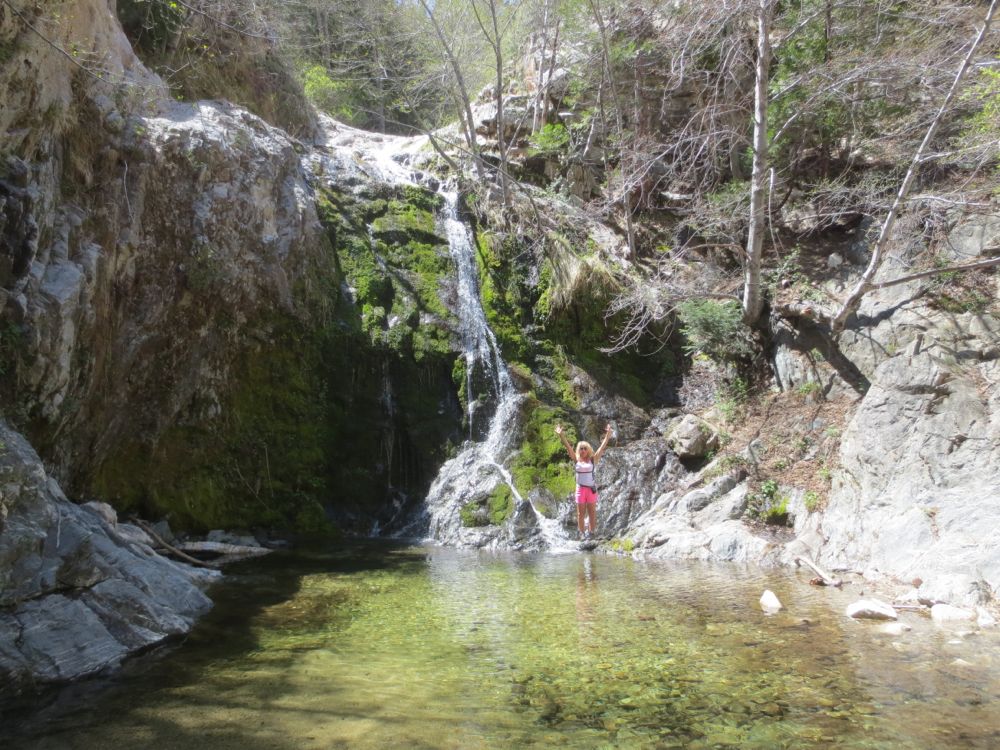
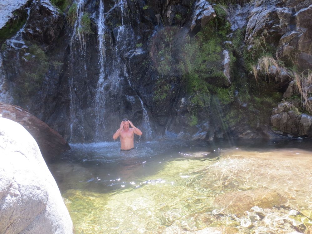
If you climb down carefully you will now be in one of the loveliest places in the mountains- the grotto below Cooper Canyon Falls. If you are not doing the adventure hike up Buckhorn Canyon to the larger waterfall there, you can rest and eat here. But if you are I would suggest to take some photos and move on quickly because the trek up Buckhorn Canyon is demanding.
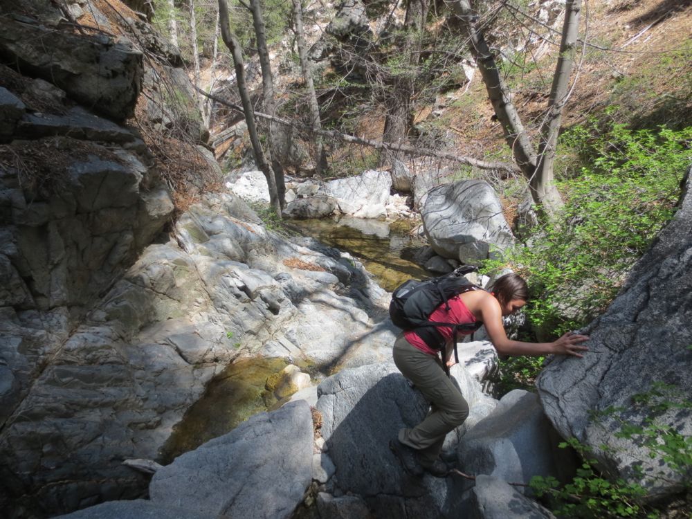
Now ascend back to the trail, and turn to the right now to retrace your steps. Soon you will be back at the junction with Buckhorn Creek, which comes in from your left now. Be advised that there is no trail if you attempt to go up this gorge, and you do so at your own risk – this now becomes a potentially dangerous adventure hike.
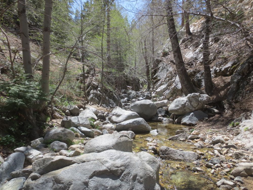
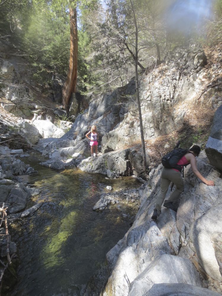
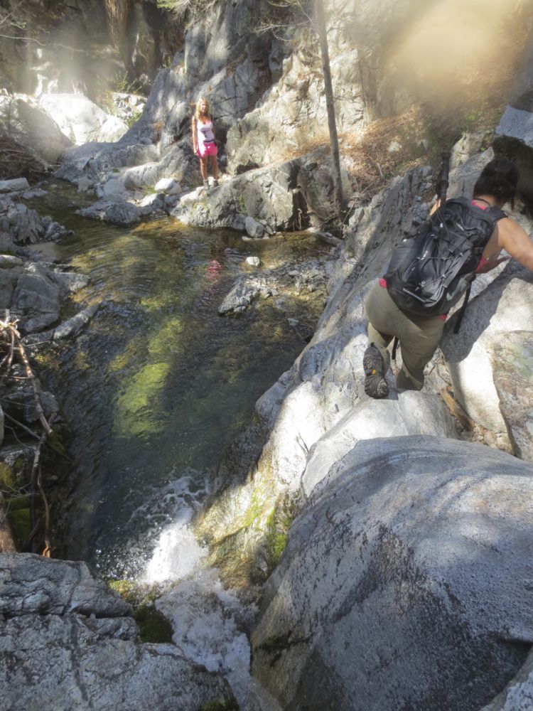
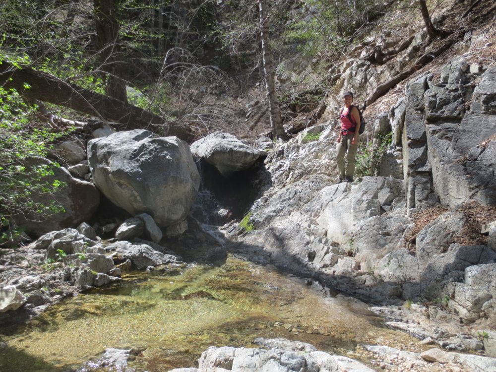
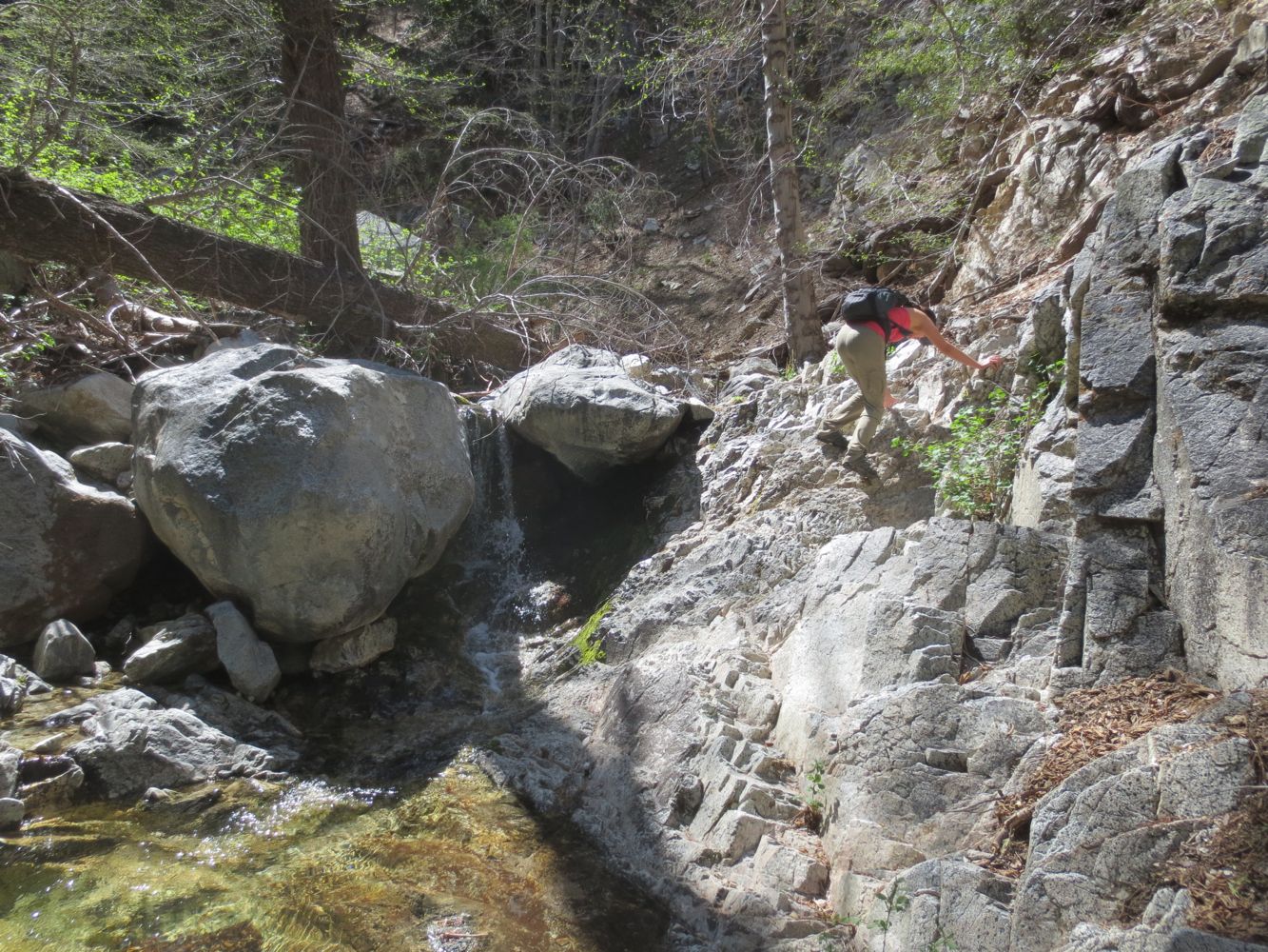
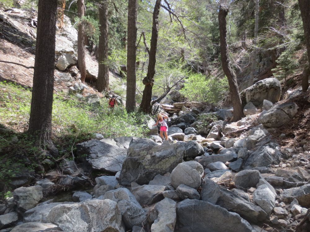
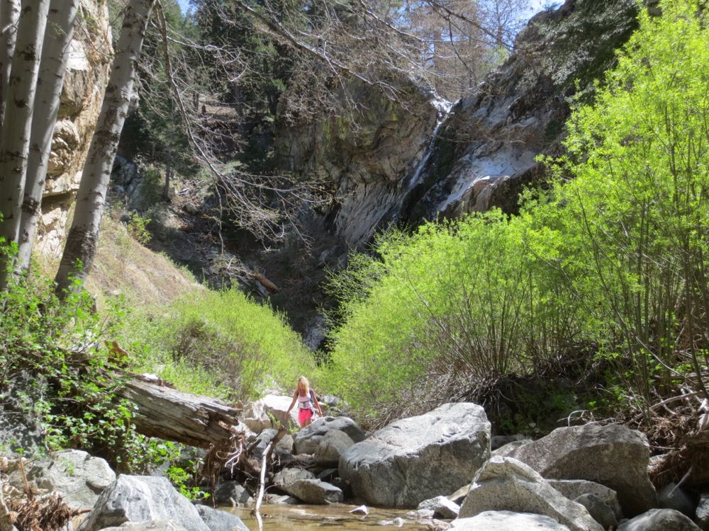
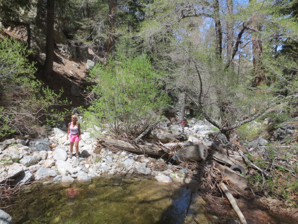
Now you must traverse the wild terrain ahead, making careful and judicious choices as you negotiate the numerous obstacles in your path. You don’t need to think much about route finding per se, because the walls of this gorge are so steep there is really only one way in and out, so just stay close to the stream bed and focus on safe decisions.
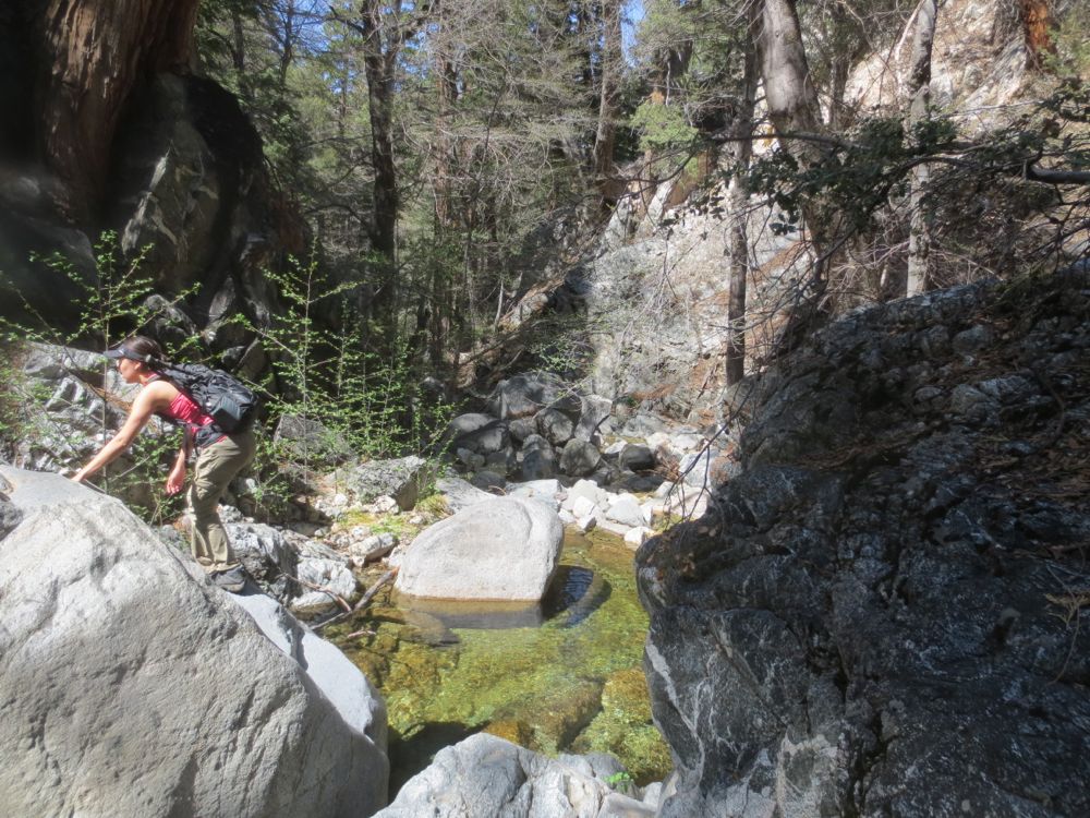
Despite, and to some extent because of, the difficulty inherent in this traverse, this little gorge is one of the finest and most beautiful unspoiled alpine canyons in the mountains.
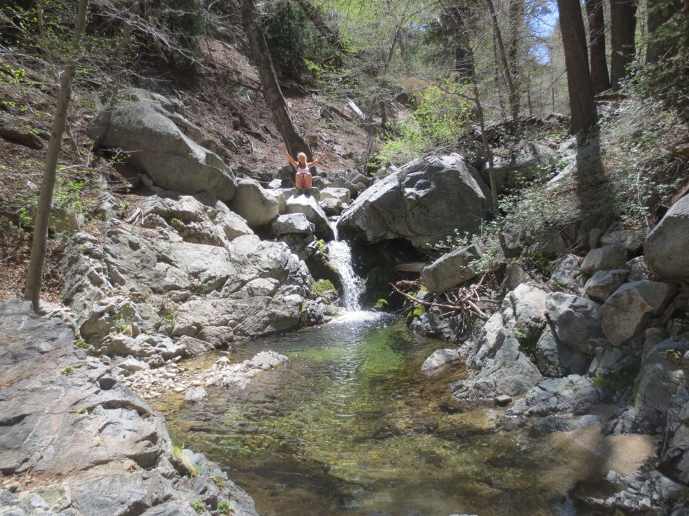
After a challenging yet super fun .75 miles or so – which may take 30 to 45 minutes or more – you will see and hear the dramatic 70′ Buckhorn Falls ahead. If you’ve made it this far you can easily get to the bottom of the falls, where there is a good-sized 3′ to 4′ deep pool you can cool off in, and some nice granite boulders just below the singing cascade on which you can have your lunch and rest.
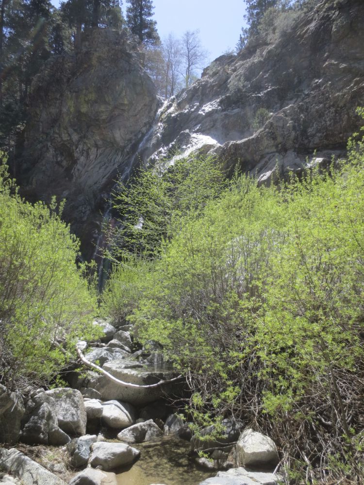
Once you have enjoyed this truly marvelous hidden gem, carefully traverse the terrain back to the trail, and from there back up to your vehicle.
Video of Cooper Canyon Falls with Optional Buckhorn Falls Hike
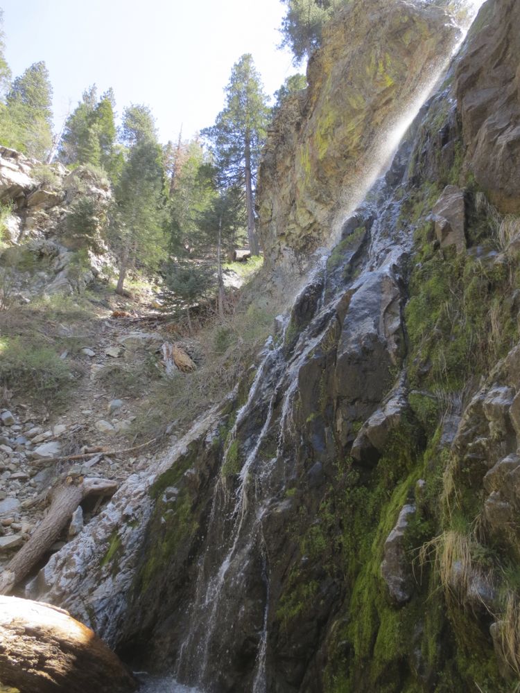
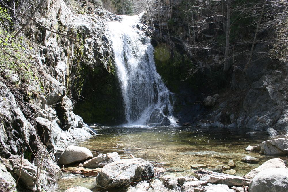
35′ Cooper Canyon Falls from the grotto below on 4/20/2014. Note that the 2013-2014 rainy season was exceptionally dry, and the flow in the falls was lower than normal for this time of year, but it’s always a remarkably lovely spot!
70′ Buckhorn Falls from the grotto below on 4/20/2014. As noted, the 2013-2014 rainy season was exceptionally dry, and the flow in the falls was lower than normal for this time of year.
