San Gabriel Mountains Hikes
The map and table included below contain all the San Gabriel Mountains hikes covered on this site.
The tall mountains to the north of Los Angeles and the San Gabriel Valley that are dramatically shrouded in snow after winter storms are the wondrous San Gabriel Mountains. This is a large and diverse mountain range, much more so than most realize, and its treasures exist close to home, waiting to be explored.
The range runs almost 70 miles, starting from the east at the Cajon Pass – through which runs the 15 freeway – and from there all the way to its western boundary at the 5 freeway and Newhall Pass. From north to south it’s up to 25 miles across at points, thus covering an area of almost 1000 square miles.
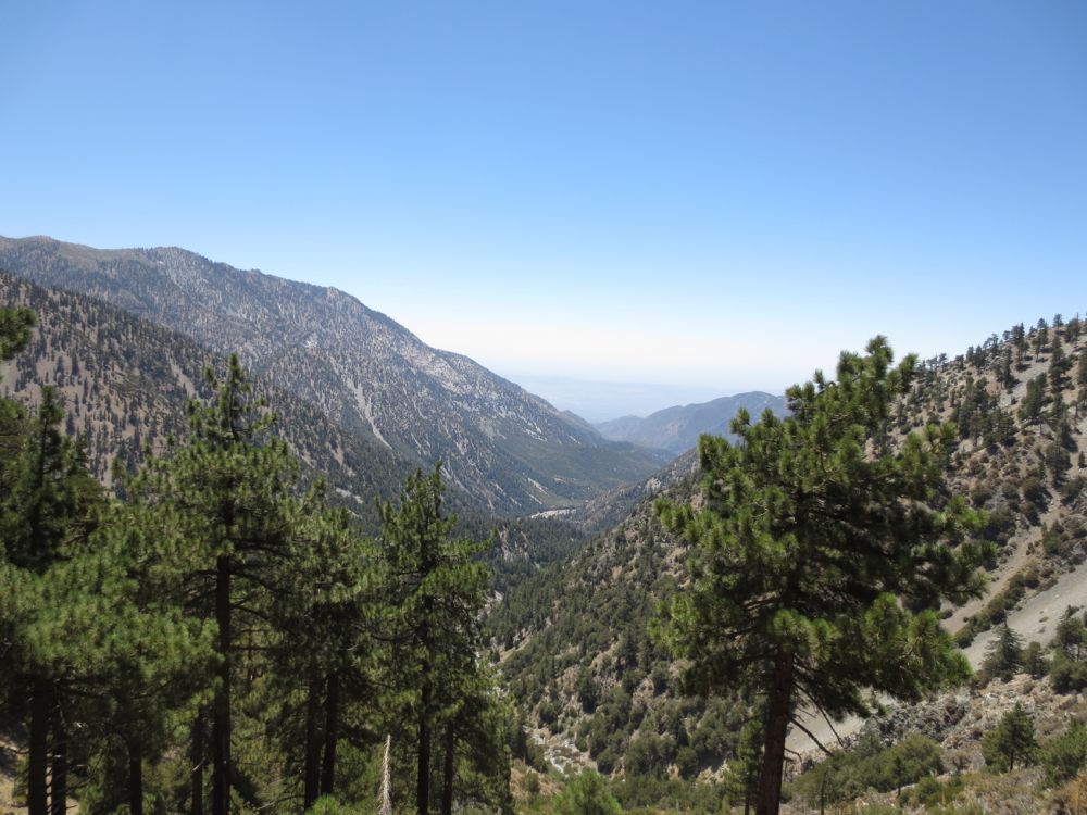
Because of its large size and tall summits – over 10,000′ – the range offers tremendous diversity, encompassing granite peaks with stunning views, lush alpine forests of pine and cedar, lovely stream fed canyons lined with old growth oaks, and spectacular gorges where pure mountain streams cascade over magnificent waterfalls. Almost the entire San Gabriel Mountains are contained in the Angeles National Forest, but oddly a portion of the eastern end of the range is actually in the San Bernardino National Forest. On October 10, 2014, President Obama designated a large portion of the range as the San Gabriel Mountains National Monument, which provides further federal protection for this magnificent area.
These mountains have a close historical connection with the Los Angeles area, and many of the older communities are in the foothills of this range, situated at the mouths of canyons that provide year round water. Prior to the construction of the Los Angeles Aqueduct cities had to rely on water from streams originating high in the San Gabriel Mountains, and to a lesser extent from wells. As this range is so tall and large, it receives much more precipitation at higher elevations than the remainder of the Los Angeles basin. This comes primarily in the form of extensive snow packs in the winter months, and also at times from torrential summer thunderstorms.
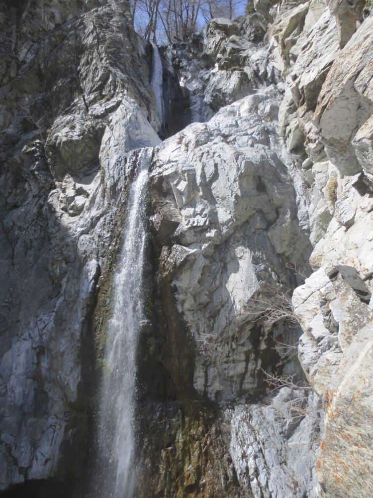
The fact that this range contains dozens of year-round streams is not well-known. Thus in the summer and fall when streams in the lesser ranges like the Santa Monica Mountains or the Santa Ana Mountains run dry, the San Gabriel Mountains enjoy a number of areas that always have flowing water. Another little known fact about this amazing range is that as a consequence of the relatively abundant water, and because this is such a geologically young and thus steep mountain range, it contains numerous deep and rugged gorges with stunning waterfalls.
Access to the largest part of the San Gabriel Mountains is primarily through the spectacular Angeles Crest Highway or SR2, which runs 66 miles from the foothills of La Canada in the west all the way up into some spectacular alpine topography on the high country crest of the range, through the ski resort of Mountain High and the lovely mountain resort town of Wrightwood, and down into the Mojave desert at Highway 138 on the Northeastern corner of the range. If you were to then take Highway 138 east to the 15 Freeway, then the 15 Freeway south to the 210 Freeway, and the 210 Freeway east back to La Canada you would have driven through and around a large percentage of the San Gabriel Mountains.
There are other scenic access roads as well. Mt Baldy Road begins in Upland from Mountain Avenue and takes you through picturesque Mt Baldy Village up into an alpine wonderland on the flank of the tallest peak in the San Gabriel Mountains, 10,064′ Mt San Antonio, also known as Mt Baldy. Another road is Highway 39 from Azusa that runs up the canyon of the San Gabriel River approximately 25 miles to the dramatically situated Crystal Lake Campground. And on the western edge of the range Lytle Creek Road accessed from the 15 Freeway travels up Lytle Creek Canyon offering easy access into some of the most spectacular scenery of the range. Also spectacular Big Tujunga Canyon Road travels up the deep gorge of Big Tujunga Creek from Sunland up to SR2.
If you want to familiarize yourself with the San Gabriel Mountains I would strongly recommend that you drive all these major roads, especially the Angeles Crest Highway. If you have not seen with your own eyes the astonishing beauty and tremendous diversity of the San Gabriel Mountains you will be truly amazed, and excitement will build for future hiking adventures as you enjoy the magnificent terrain of this beautiful range that exists so close to home.


