South Fork Trail
Summary for South Fork Trail Hike

Difficulty
Moderate
Length
9 Miles Round Trip
time
5 Hours
Elevation Gain
1,600′
Summary
The South Fork Trail is well-groomed with a moderate and consistent grade, and leads you into the lovely alpine environment of South Fork Meadows with year round water flow in the glorious San Gorgonio Wilderness.
The Santa Ana River, which drains an incredible 2,650 square miles, originates in multiple forks high in the San Bernardino Mountains before flowing 96 miles to its mouth in the ocean at Huntington Beach. This hike leads you into the incredible alpine wonderland of the San Gorgonio Wilderness along the South Fork of the Santa Ana River to some of its headwaters at the lovely South Fork Meadows.
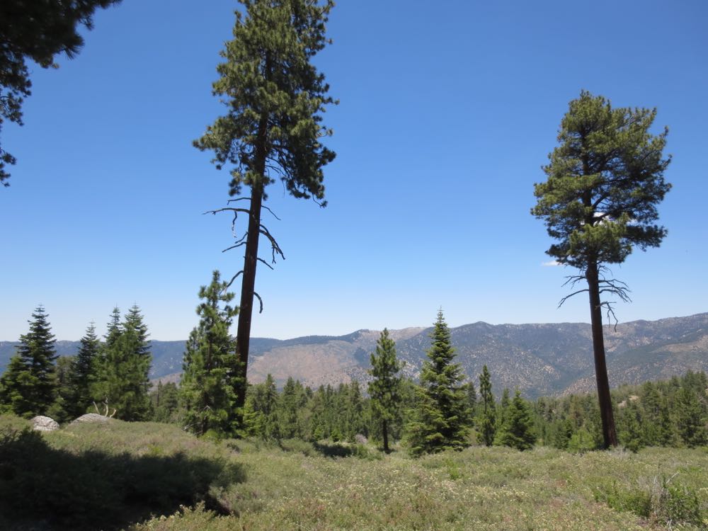
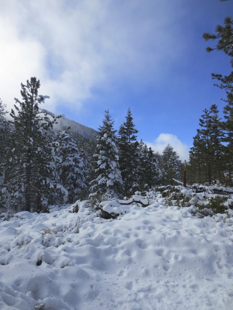
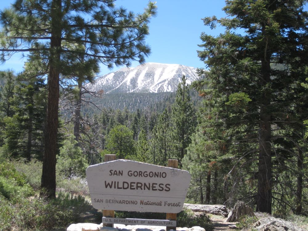
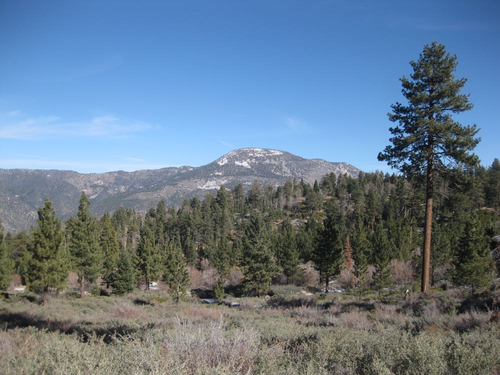
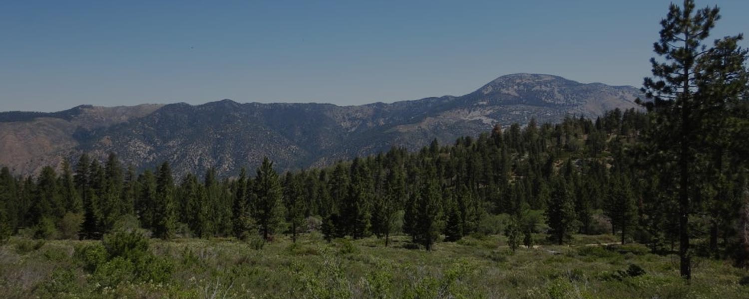
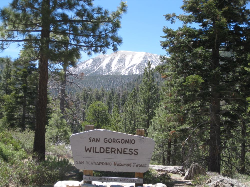
The San Gorgonio Wilderness is a spectacular and pristine mountain environment of granite peaks, sparkling streams, lush meadows and forests, and abundant wildlife, and includes at its approximate center the highest mountain in Southern California, mighty 11,500′ tall Mount San Gorgonio, which can be seen from a well chosen viewpoint (in the photo above) along the South Fork Trail.
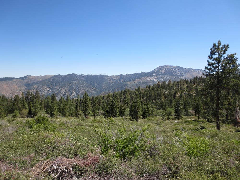
This is one of the favorite trails of many Southern California hikers, including myself, and for good reason. The trail is very well designed and maintained, so that the grade is always moderate and the trail well groomed. In addition the South Fork Trail offers great views, old growth pine forest, alpine meadows, and year round water flow in the South Fork and at the South Fork Meadows.
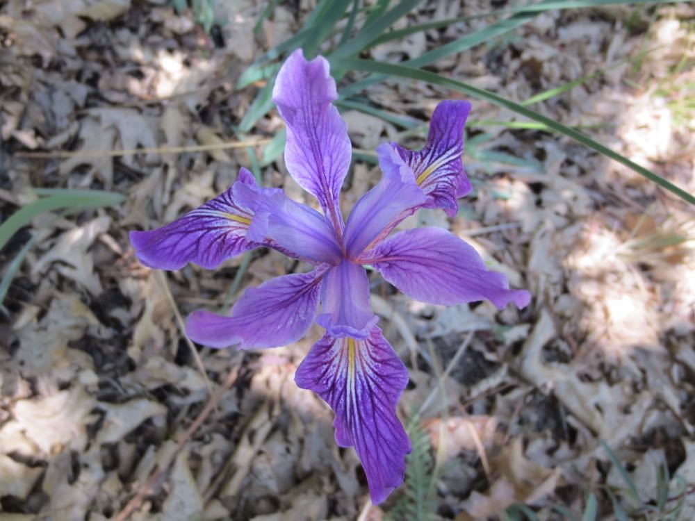
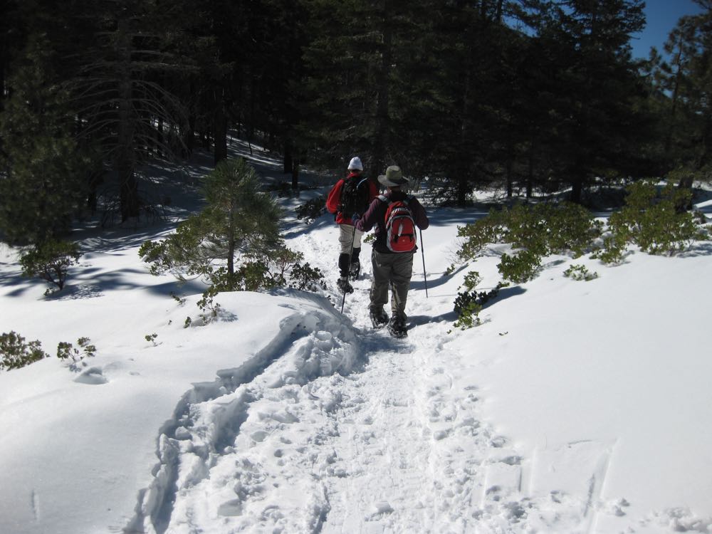
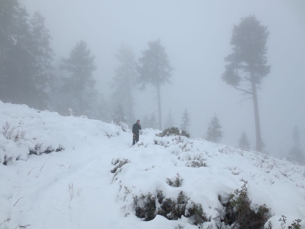
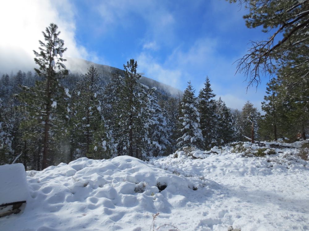
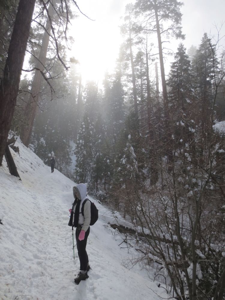
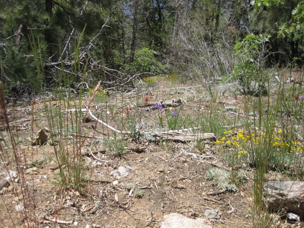
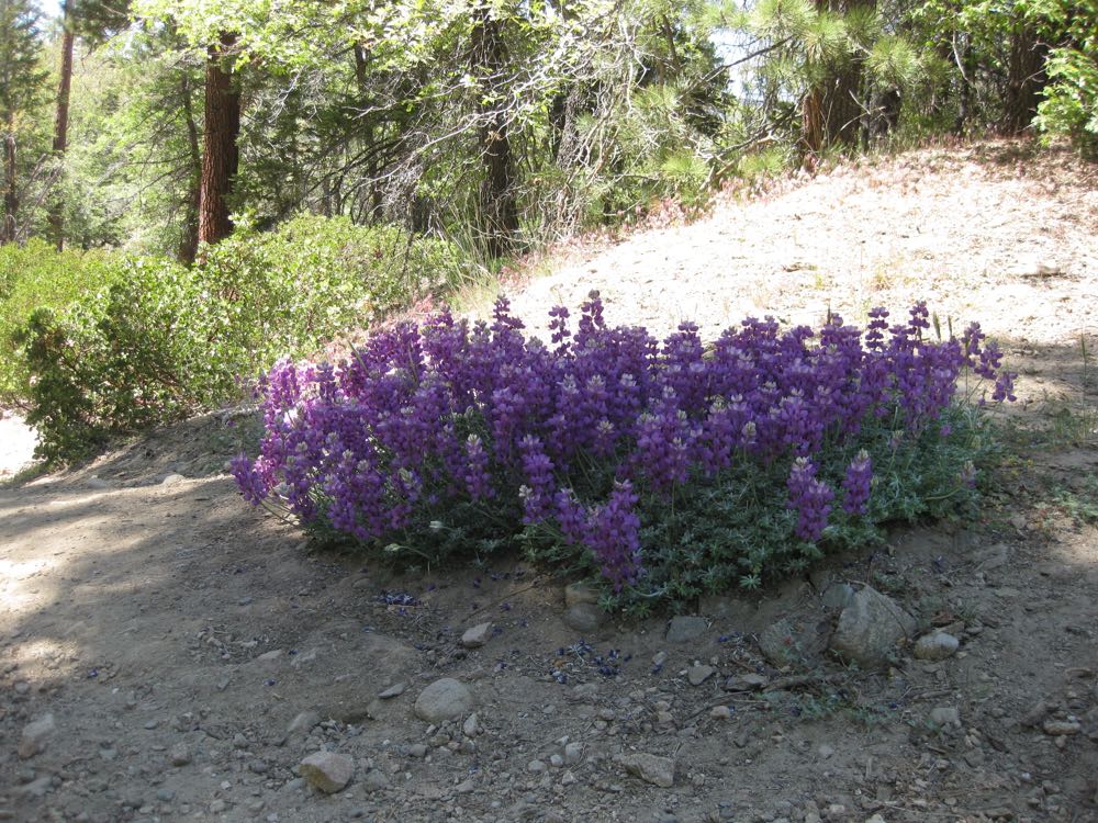
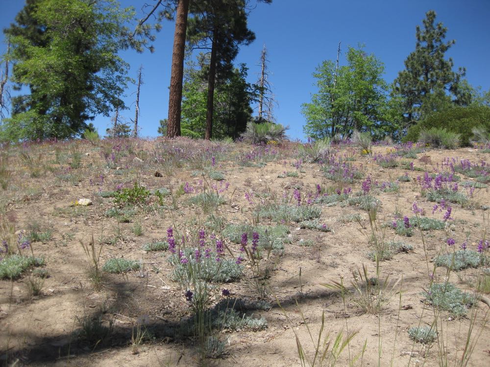
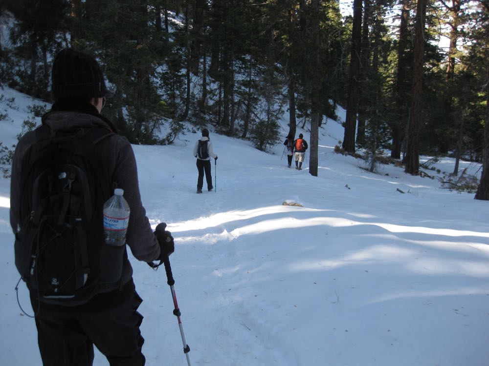
This trail is a wonderful place to experience the glory of spring wildflowers in an alpine environment, and because of the high elevation of its trail head at 6,880′ almost never gets too hot in the summer. It also can offer a great winter hike if you’re prepared and its moderate grade makes it a favorite choice of those who want to experience hiking in snow conditions. The San Gorgonio Wilderness begins at about 2.25 miles into the hike, and you need a wilderness permit if you hike past this point and thus to get to South Fork Meadows. This wilderness permit is free can be picked up at the Mill Creek Ranger Station on the way.
Directions to Trailhead for South Fork Trail Hike

Detailed Description for South Fork Trail Hike
After you have parked in the spacious parking area proceed to the signed trail head which is across the road past the bathrooms on one side of the lot.
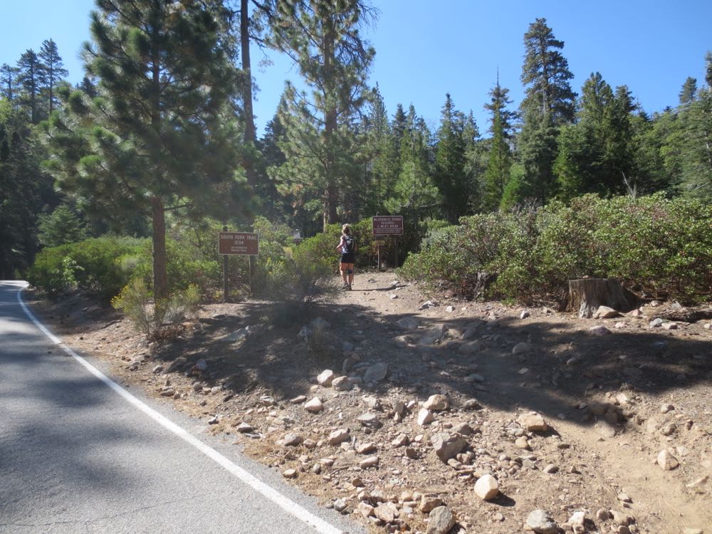
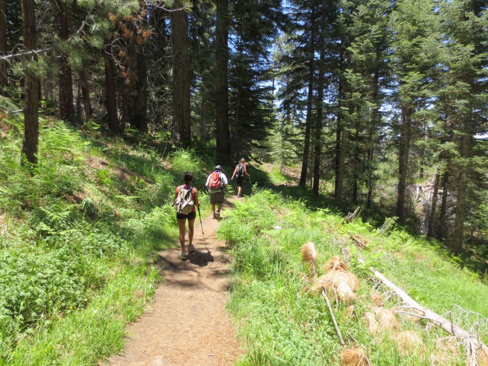
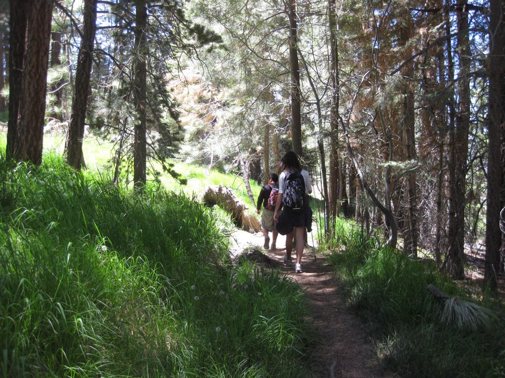
The trail ascends steadily right from the start through a substantial evergreen forest. You will soon cross a small stream, and then climb the ridge on its opposite side. The trail is well worn because of its popularity and good maintenance, so it’s easy to follow, but almost never gets too crowded.
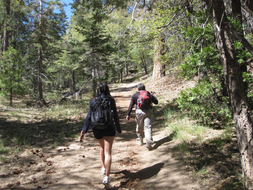
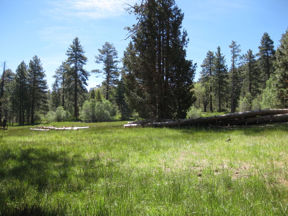
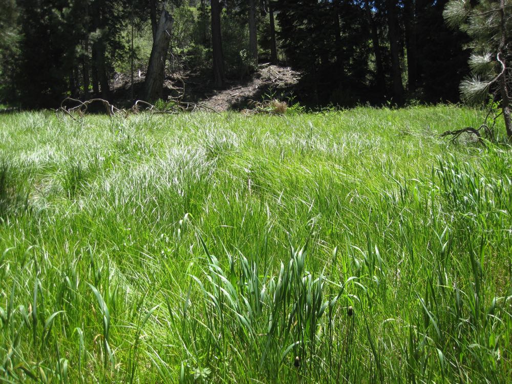
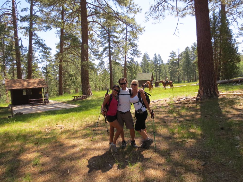
After what seems like a fast 1.5 miles you arrive at the Horse Meadows, a large (yes, you guessed it) meadow, so named because of its use in the past as an equestrian camp area. Despite the name, one does not typically see horses here, but as you can see in the photo below some rangers on horses were encountered! There are a couple historical structures here based on its former use and it’s a good spot for photo ops.
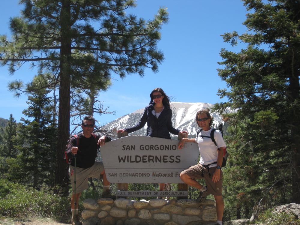
Continuing on you will soon encounter a dirt road – note that the signed trail is on the other side of the road so continue that way. After 1 mile from the Horse Meadows you will arrive at the boundary of the San Gorgonio Wilderness. Just to the left of the signed wilderness boundary a short trail leads you up to Poopout Hill, which offers a spectacular view of Mount San Gorgonio, so make sure you stop here to take some pics.
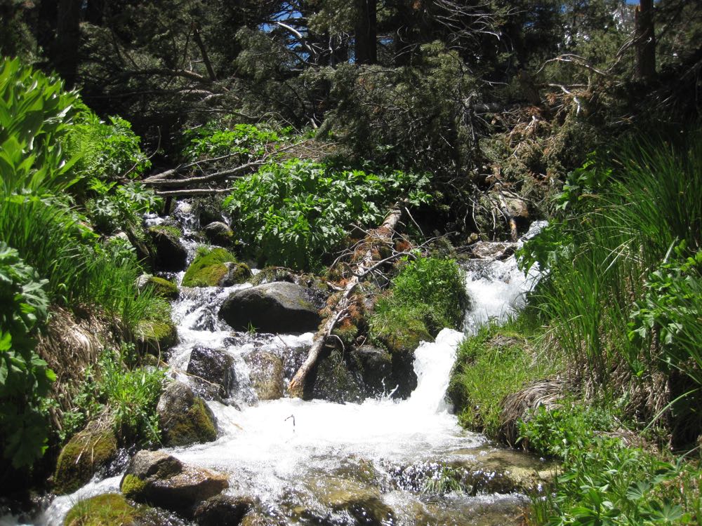
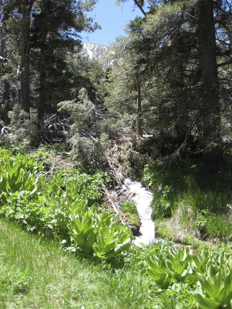
Moving on the trail climbs steadily through lovely alpine forest. After a short distance you can now usually hear the South Fork Santa Ana River as it cascades merrily in the canyon below and to your left. The trail now follows along the side of this canyon until you reach the South Fork Meadows.
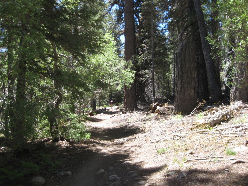
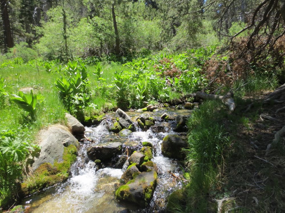
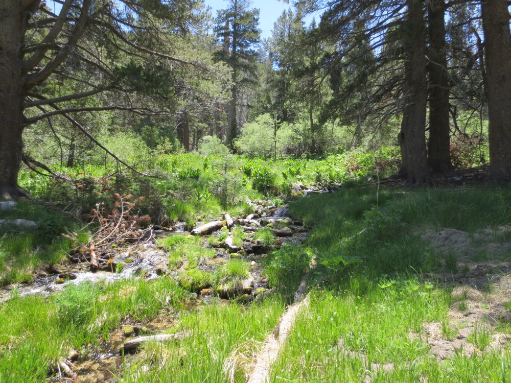
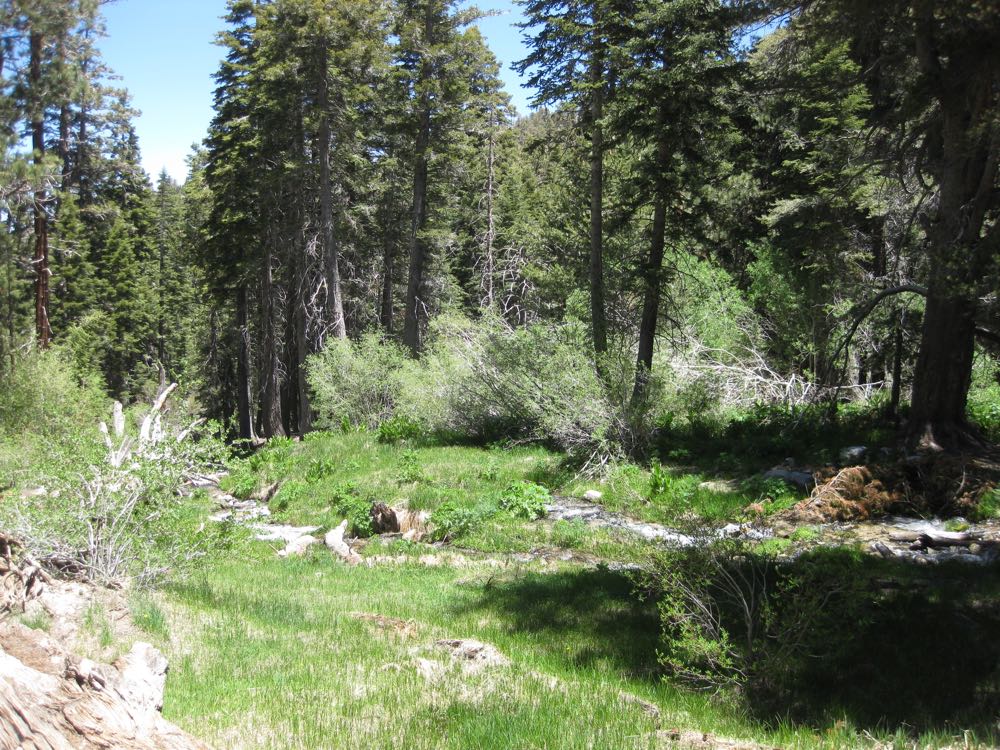
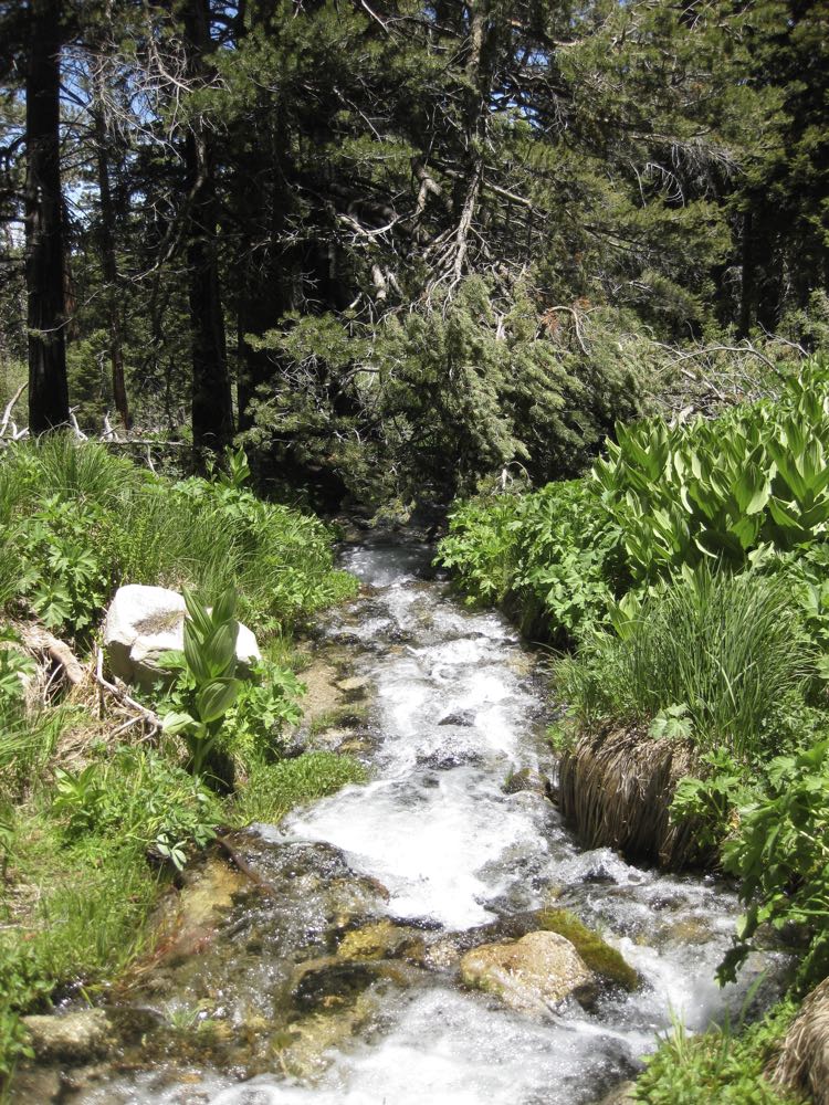
After 1.8 miles from Poopout Hill you will encounter a trail junction – to the left crosses the river and goes up Grinnell Ridge. You will stay straight ahead to the South Fork Meadows which are only .3 miles ahead. At that point you will see another trail junction – go left here (signed to Dry Lake), and after only about 100 feet in you will encounter multiple small streams that coalesce downstream into the South Fork. This is the South Fork Meadows.
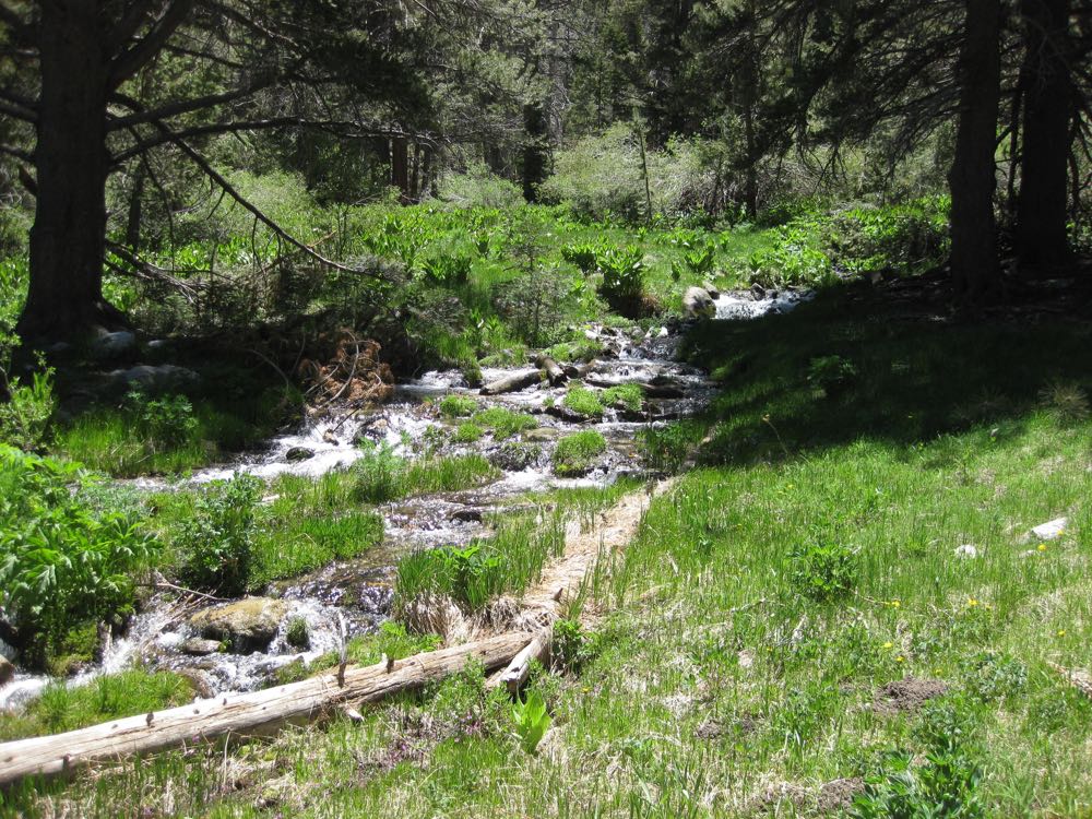
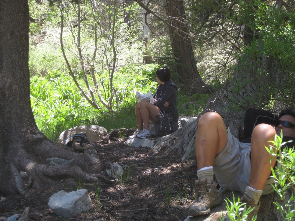
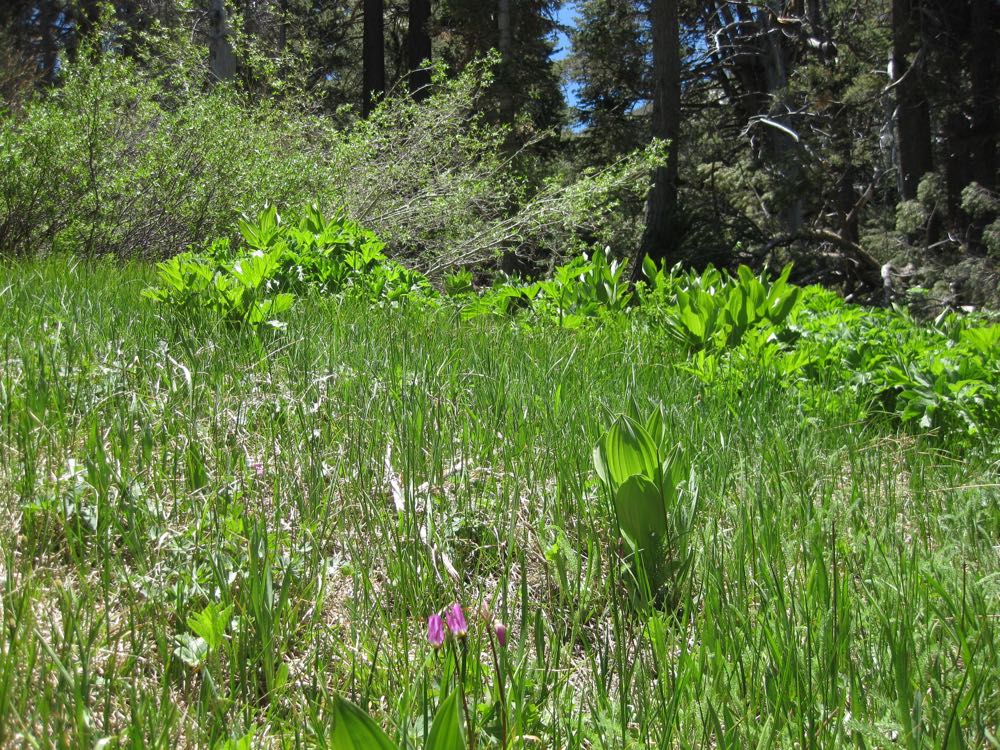
Now find a nice place to relax by one of the the streams, and enjoy this remarkably lovely place. Please try to respect the delicate alpine meadow environment as best you can. The streams run year round, but of course the flow depends on season and rainfall. In the spring it’s particularly lush and lovely, with tall mountain grasses and colorful alpine flowers, but this is always a magical place. After you have relaxed your mind and body in this spiritual locale, simply retrace your steps back to the trail head.
Here’s a little tip – because of the small nature of the streams here in the meadows, and the environmentally sensitive nature of the meadow environment, there aren’t really places that are suitable for taking a dip. If it’s warm enough and you are so inclined though, if you go back down the trail .3 mile and take the trail junction mentioned above signed to Grinnell Ridge it will take you down to the South Fork Santa Ana River where the stream is more substantial. While there are no large, deep pools to speak off, if you go up or downstream a bit you can find a spot to refresh yourself in this very chilly water.
