Mill Creek Canyon Waterfall Hike
Summary for Mill Creek Canyon Hike

Difficulty
Moderately Strenuous Adventure Hike – Read Adventure Hiking Page
Length
7 Miles Round Trip
time
Elevation Gain
1,700′
Summary
Easy access to spectacular alpine scenery reminiscent of the Eastern Sierra, culminating in a dramatic sequence of waterfalls.
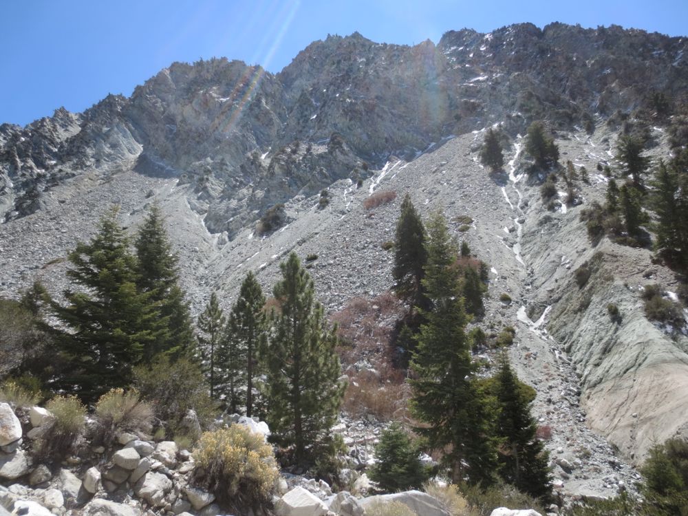
Mill Creek drains a considerable area of the unspoiled San Gorgonio Wilderness, including the south flank of the tallest mountain in Southern California, Mount San Gorgonio, and is a major tributary of the Santa Ana River. The canyon has rather steep walls and because of this and the amount of precipitation runoff from the large mountains, it features several side tributaries that enter with spectacular waterfalls.
The area seems very much like something in the Eastern Sierra, especially as you go off trail and further back into the canyon, as you will on this hike. The hike begins at the parking lot for the hikes to the uncreatively named Big Falls, and the Vivian Creek Trail, one of the major entry points into the San Gorgonio Wilderness, and in fact the shortest route to the summit of Mount San Gorgonio.
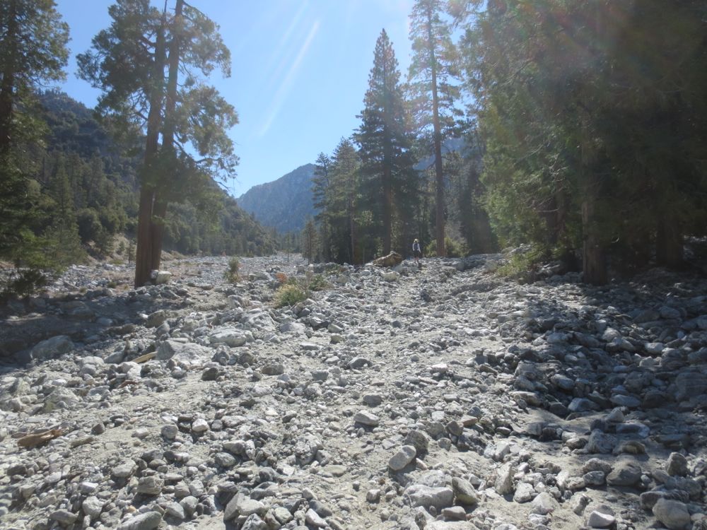
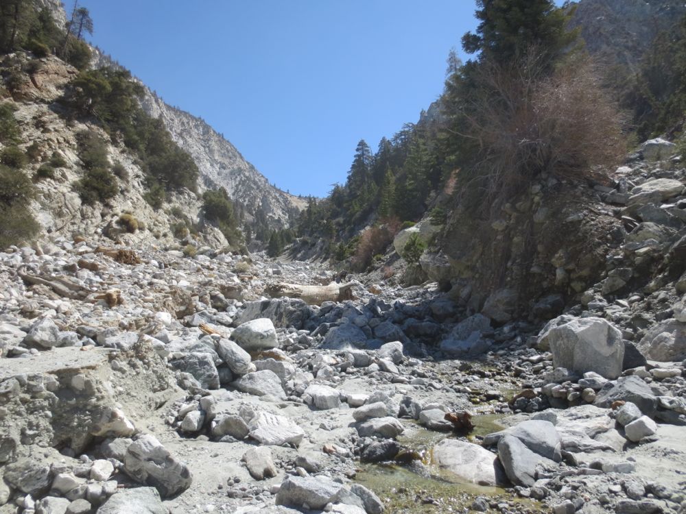
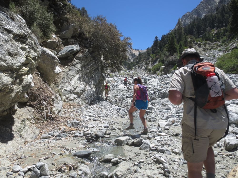
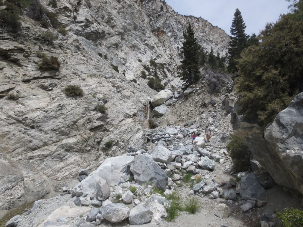
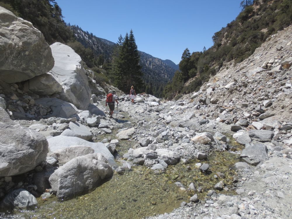
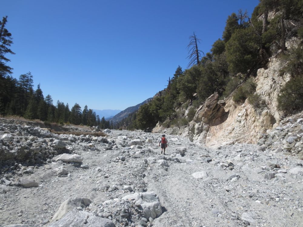
Here we start at the Vivian Creek Trail head and use this trail for a short distance, before going up the boulder strewn stream bed of Mill Creek, and traverse the wild and beautiful creek to its headwaters far back in the canyon.
Water typically flows year round, especially as you get further back in the canyon. Note that you do not need a wilderness permit for this hike because by going up Mill Creek you will be skirting the edge of the San Gorgonio Wilderness.
While the area at the trail head is very popular and often very crowded, and there may be many families picnicking and enjoying the short hike to the unpoetically named Big Falls, and the lovely Vivian Creek Trail usually fills its daily quotas early, almost no one goes back up the canyon, and you will soon leave the crowds behind and enter a magical alpine world of beauty and solitude. As adventure hikes go it’s not technically challenging because the canyon is wide open, and might be a good choice for beginning adventure hikers because there is no brush and the canyon walls essentially keep you from doing anything but going straight ahead, and you can easily turn back at any time as well.
Directions to Trailhead for Mill Creek Canyon Hike

Detailed Description of Mill Creek Canyon Hike
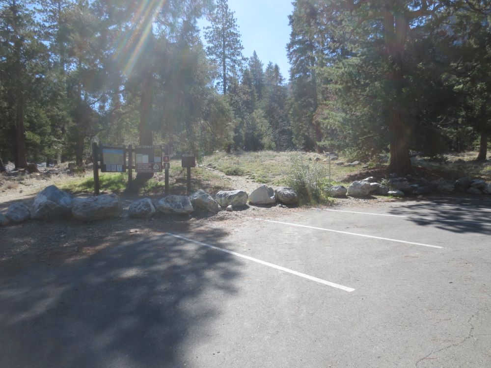
There is now a booth at the entrance to the lot, so you will pay your day pass parking fee or display your adventure pass to the ranger there. Once you have parked you head up-stream from the parking lot on the Vivian Creek Trail.
The trail continues, alternating from trail to rocky road and passing an occasional cabin, for approximately 7 mile.
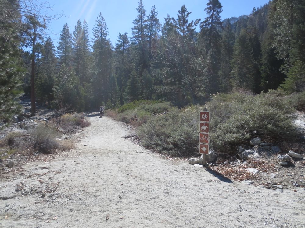
At this point the trail turns abruptly to the left, crosses Mill Creek, and begins its steep ascent of the canyon wall on the opposite side. At this point as you drop into the stream bed, you will not go all the way across to the trail on the opposite side, but begin to travel up-stream instead.
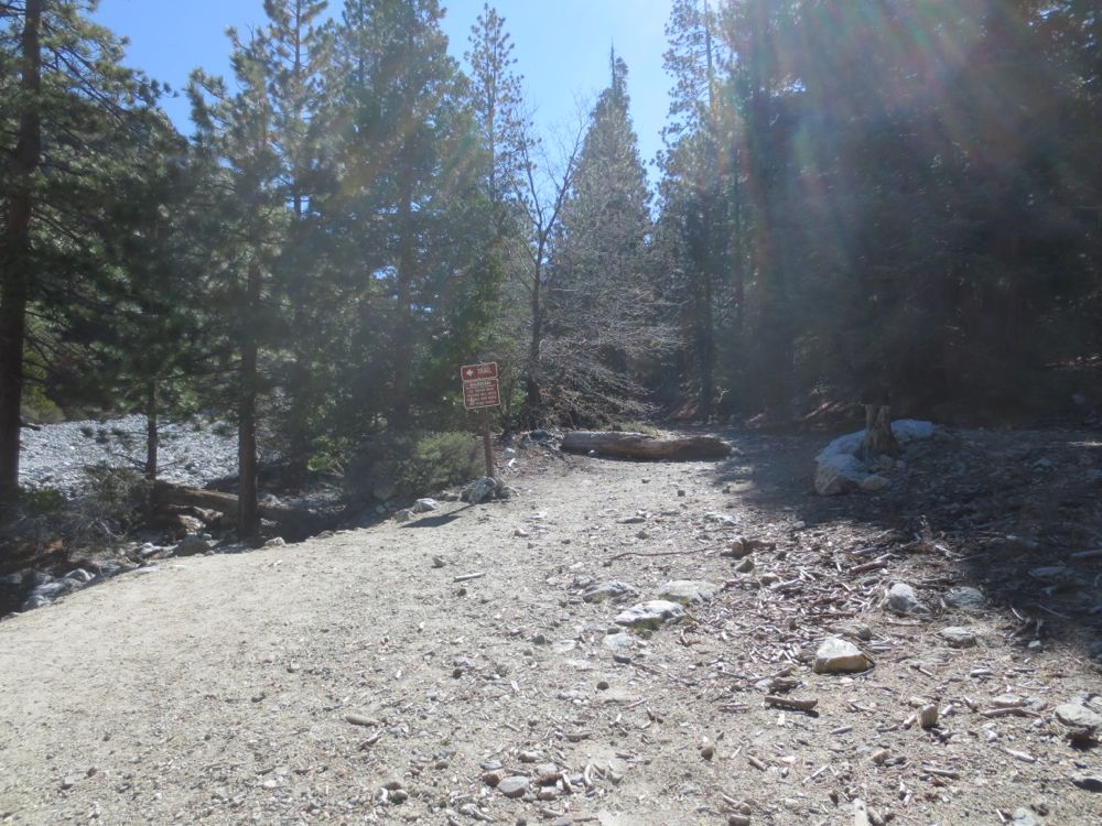
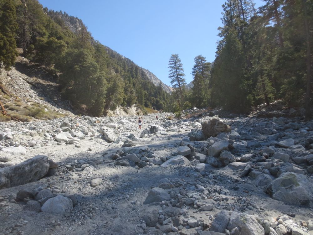
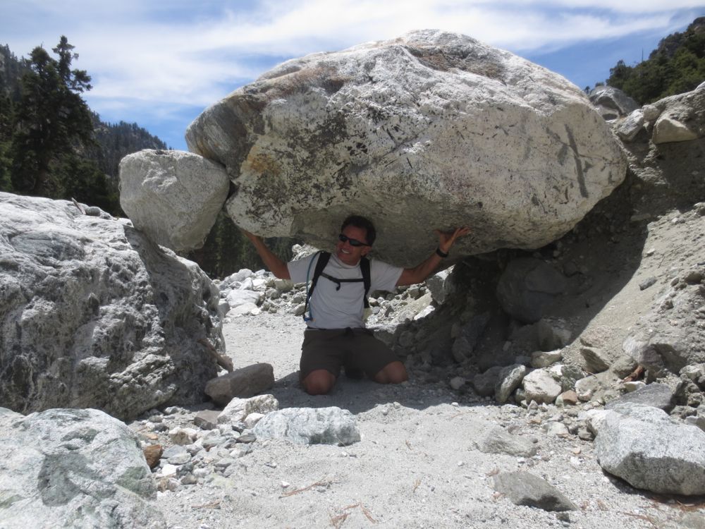
Now simply follow the stream as you gradually ascend this spectacular alpine canyon. remember that there is no maintained trail now, so you will have to pick your path using your best judgement. However, it’s always clear which direction to go since the canyon walls are so steep and the boulder filled stream bed so large and obvious.
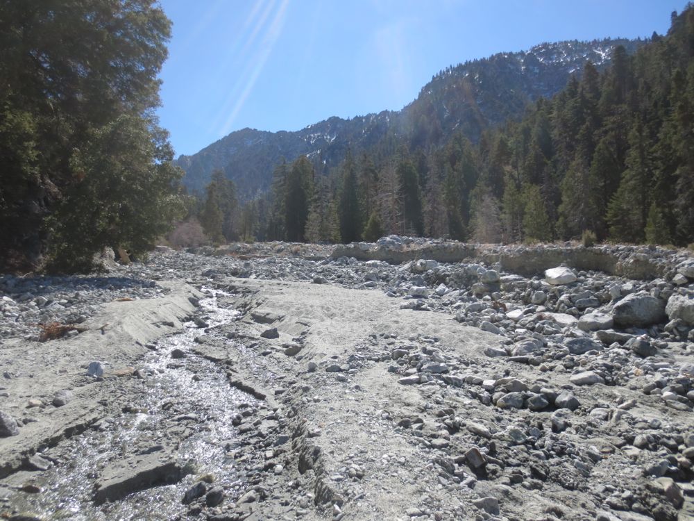
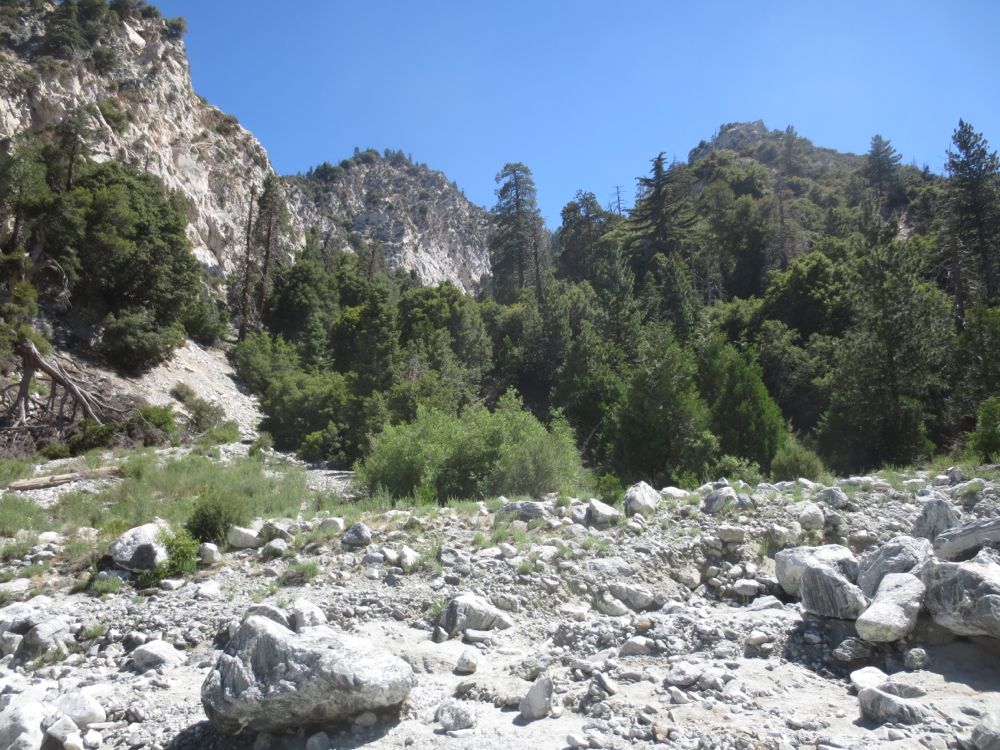
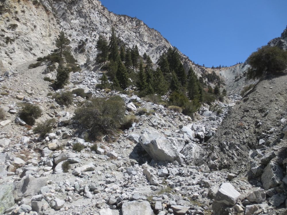
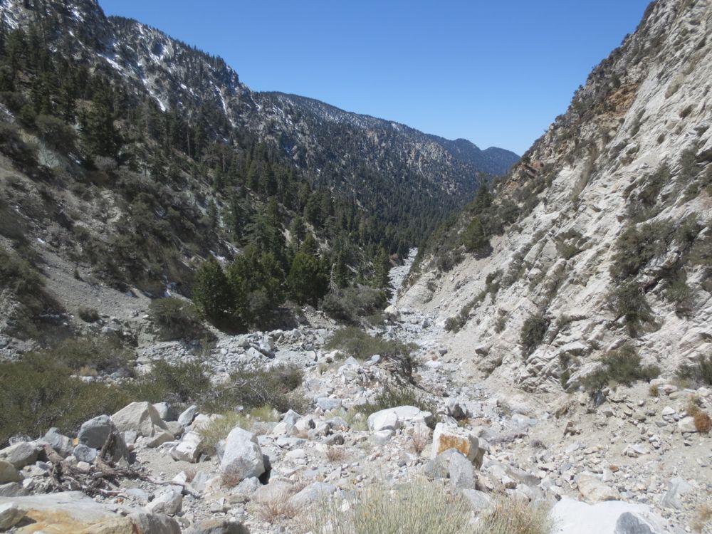
Continue ahead into this magnificent unspoiled canyon, lined with pine trees, and the occasional cedar grove where a side creek enters. You will begin to see the curiously named Mill Creek Jumpoff ahead. This is the prominent saddle that forms a clear delineation of the end of the canyon in the distance. This saddle is the divide between Mill Creek basin area and the Whitewater River basin area. On the opposite side of the Jumpoff is one of the wildest areas in the continental United States – the extraordinarily pristine Whitewater basin, untouched by road or trail, which will be the subject of future write-ups. This hike will get you to within about .5 mile of the Jumpoff.
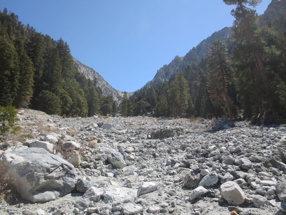
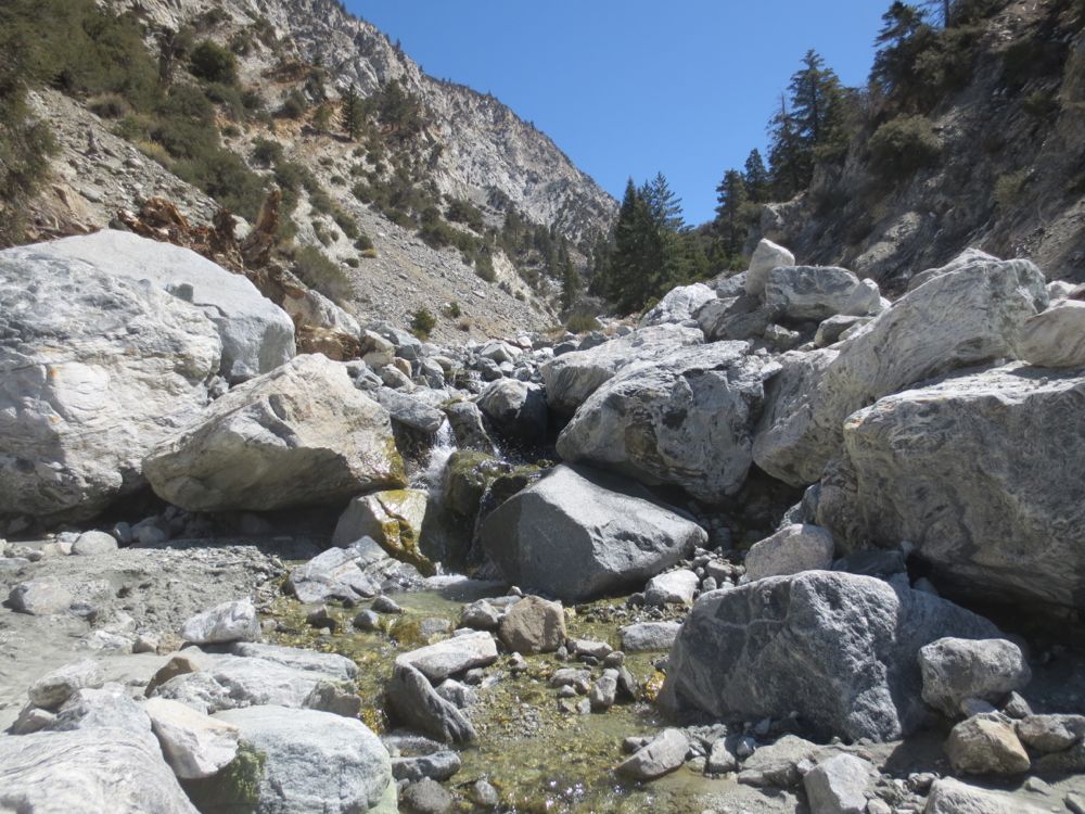
Along the way you will encounter some small cascades and pools, but persevere because there are a couple great waterfalls ahead. You will note that the canyon begins to narrow in width and you ascend a bit more steeply as you get closer and closer to the Jumpoff.
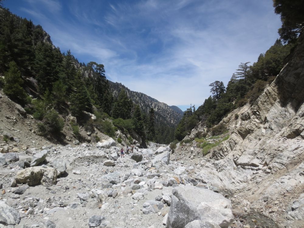
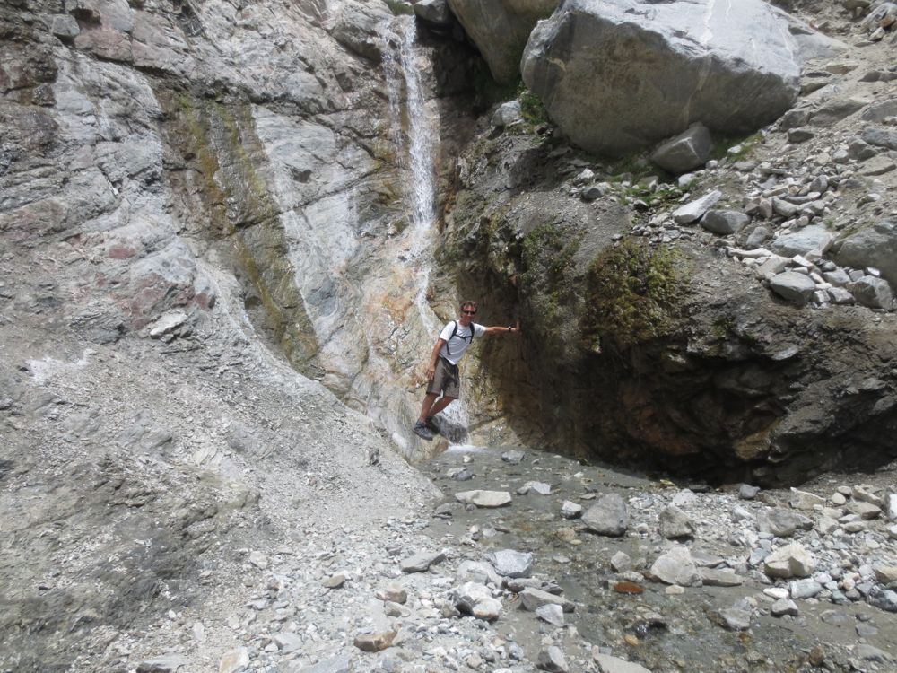
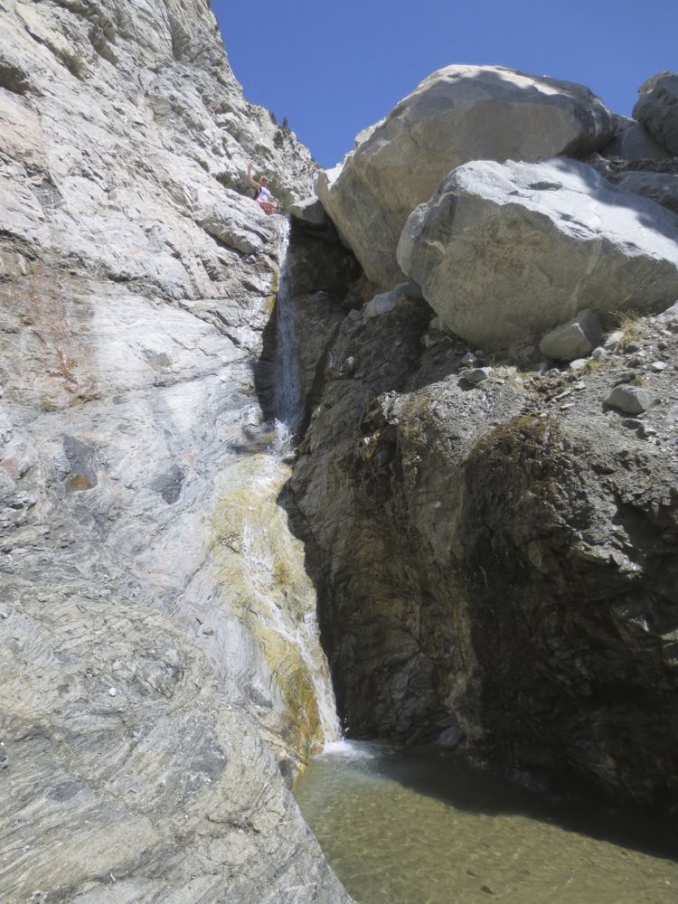
At approximately 2.75 miles you will see some reasonably sized cascades and waterfalls, and just beyond these at about 3 miles in, a rather nice fall of about 25′ in height. Note that the path around the fall begins to the right about .2 mile before the fall up a gully, then along the slope on a faint use trail, that you can use to continue the hike or get to the top of the fall. If you go to the base there is no easy way to get around it there, so decide of you want to visit the base now, or later on your return.
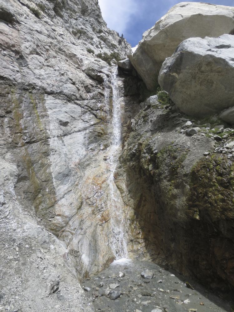
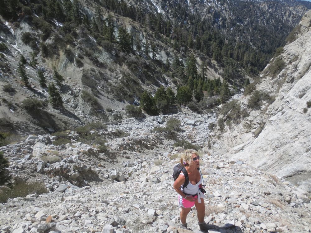
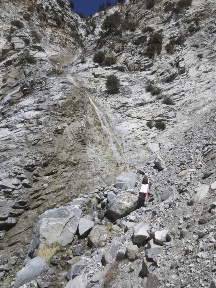
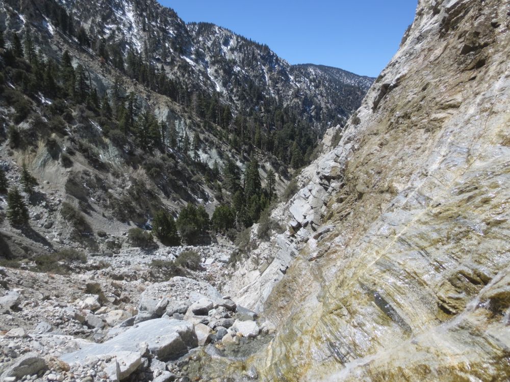
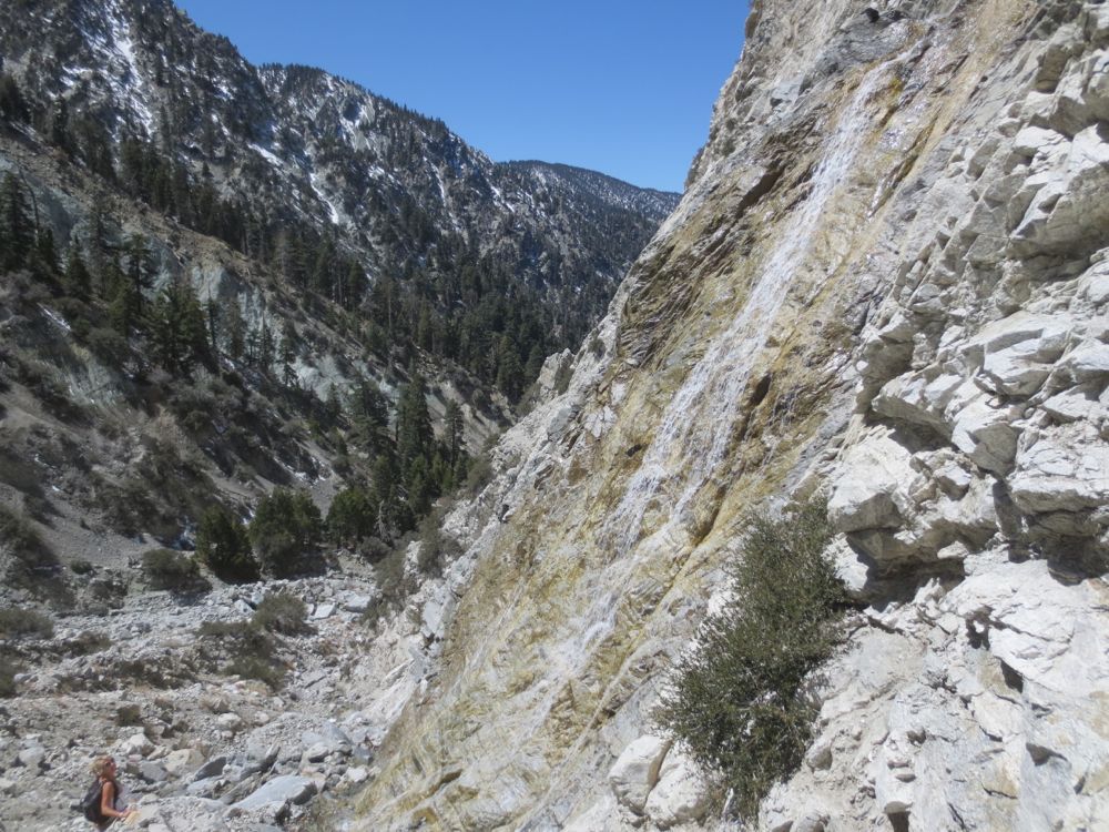
Continue up the steep gully around the fall, and after traversing past some trees along a scree slope about 200 yards or so, keep an eye out for the wonderful 150’+ tall waterfall coming in off the cliff across the canyon.
Survey the terrain between you and the base of this fall. If you wish to get to the base it is possible, but involves considerably more skill and discernment, and thus more danger, than the trip thus far. You should be able to analyze the terrain and choose a route to the base before you begin your traverse, but be advised that the rock slopes are unstable and the ridges fragmentary, so choose your path carefully and move slowly.
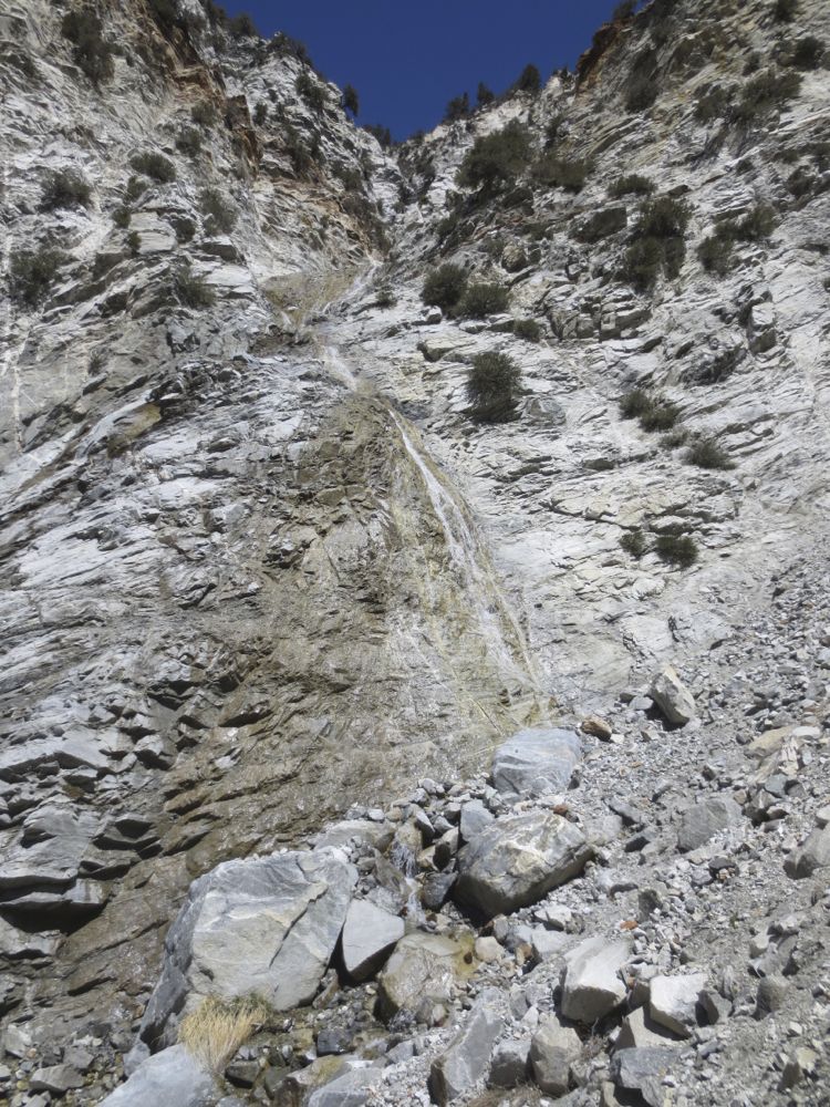
If you don’t want to go to the base you can enjoy your lunch or a rest here, or go back a bit and find some shade. There’s a nice spot with some shade and rocks to sit on near the top of the first large waterfall you saw earlier, so you may want to go back there.
After you have enjoyed this magnificent area simply retrace your steps back to your car.
Video of Mill Creek Canyon Hike
A 100’+ waterfall far up Mill Creek Canyon. Note this is not High Creek Falls, although on the video I say it is, I was mistaken – it’s an unnamed waterfall on the side of this spectacular alpine canyon. Note that the 2013-2014 rainy season was exceptionally dry, but the flow in the falls was here was relatively strong considering.

