Laurel Canyon Loop Trail
Summary for Laurel Canyon Loop Trail Hike

Difficulty
Easy
Length
3.5 Miles Round Trip
time
2 Hours
Elevation Gain
500′
Summary
Nice loop hike with quick and easy access offers varied terrain including great views, scenic sandstone formations, and lovely coastal canyons – but these attributes make it very popular at times as well.
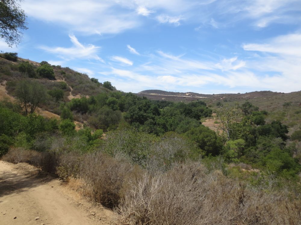
The Laguna Coast Wilderness Park has conserved for posterity thousands of acres of beautiful coastal habitat, including ridges and hilltops with great ocean, city, and mountain views, sandstone formations, and especially some lovely unspoiled canyons lined with oaks and sycamores. This hike provides you with a sample of all of these elements, starting in Willow Canyon before climbing briskly up the ridge between Willow and Laurel Canyons, then dropping into the riparian gem that is Laurel Canyon, thereby looping back to your starting point. The hike is on good trail and well signed throughout, and there is even a seasonal 60′ tall waterfall, although the canyon drains a small area so you should only expect water here in winter months and after heavy rains. Your hike begins at the parking lot for the Laguna Coast Wilderness Park near the intersection of Laguna Canyon Road and El Toro Road. Parking is $3 payable at the self-service machine, and there is often a ranger on hand if you have any questions. Note that its generous natural attributes and proximity to urbanity also make it a popular spot, so it may be crowded, especially on weekends.
Directions to Trailhead for Laurel Canyon Loop Trail Hike

Detailed Description for Laurel Canyon Loop Trail Hike
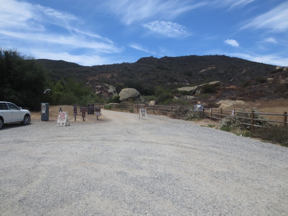
Once you have parked walk to the trail that begins at the edge of the parking lot and proceed.
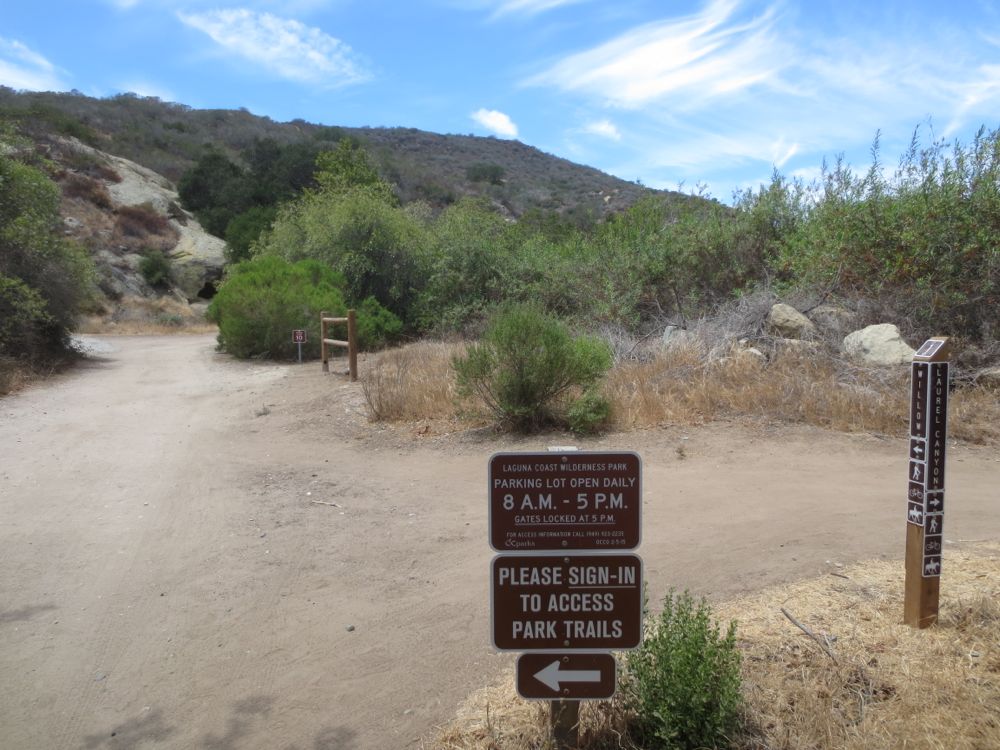
After about 100′ or so there is a spot where a ranger sometimes sits, and a sign-in book, and also some free maps of the park. The trail junction that will be the end point of your loop is right here as well. Go straight ahead following the sign for Willow Canyon.
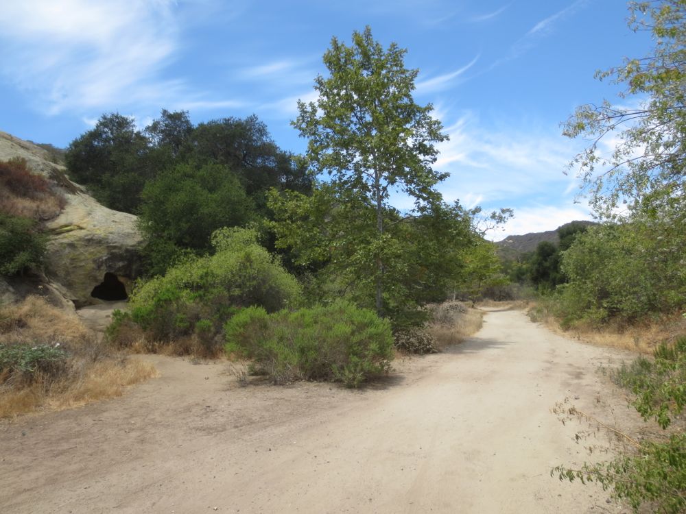
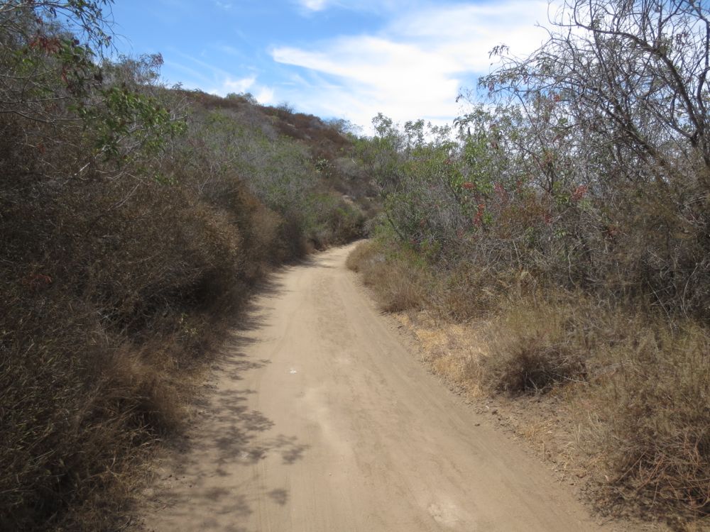
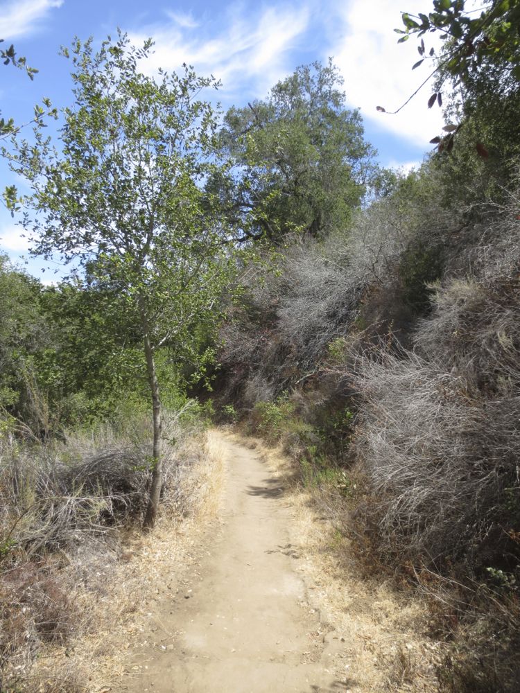
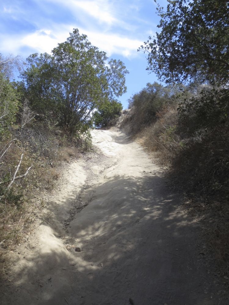
Continue ahead on the very well graded trail, past some trees and rock formations for a few hundred yards, after which the trail begins to climb the ridge to the left of Willow Creek.
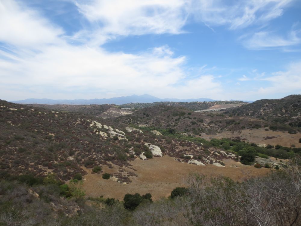
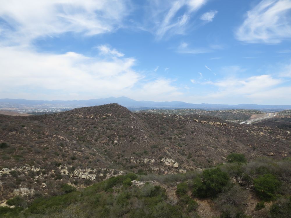
Now you are ascending the ridge that separates Willow and Laurel Canyons. Soon the view opens up as you increase in elevation, with some great vistas of the Santa Ana Mountains in the background and lovely Laurel Canyon below.
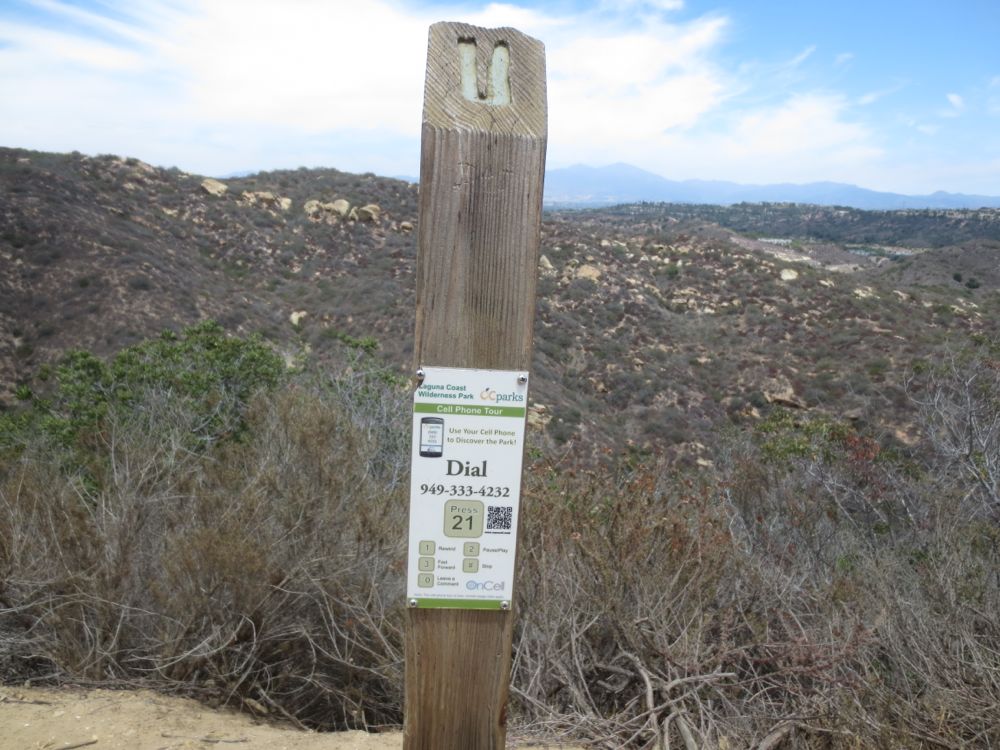
An unusual and thoughtful feature of this trial is the cell phone tour that is available. Watch for the posts with the number to call that will provide information on the area as you proceed through – there are several of these along the trail ahead as well.
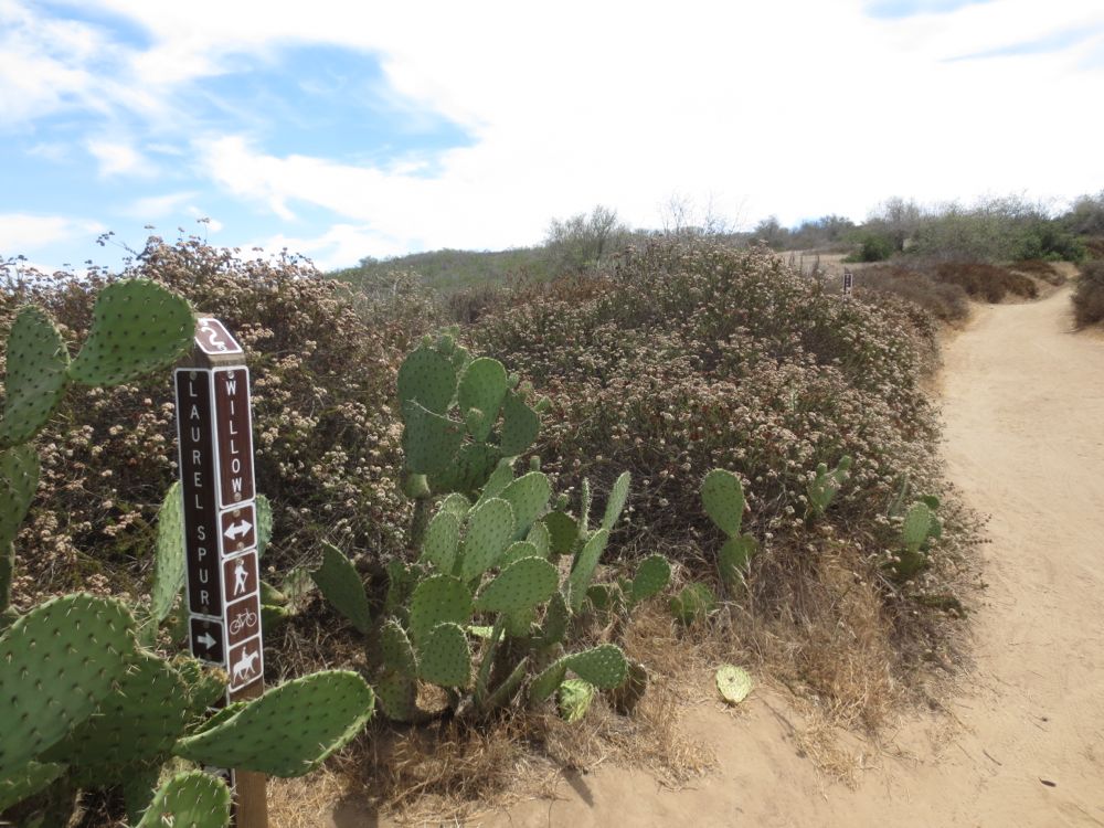
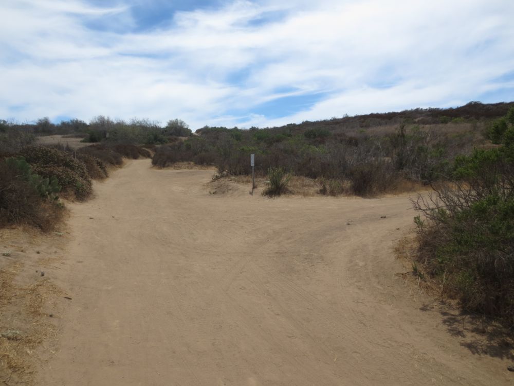
After about .8 mile in the trail will turn to the left, and shortly thereafter you will come to a signed trail junction. Here you will go to the right, following the signs for Laurel Canyon.
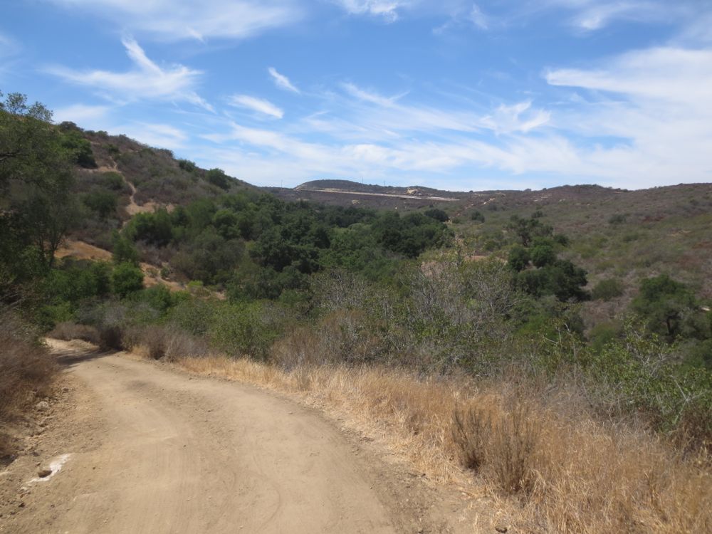
The trail now descends curving down the ridge towards its intersection with Laurel Canyon. After a couple twists and turns, after .3 mile or so you will see the relatively abundant oak and sycamore trees of Laurel Canyon laid out invitingly below.
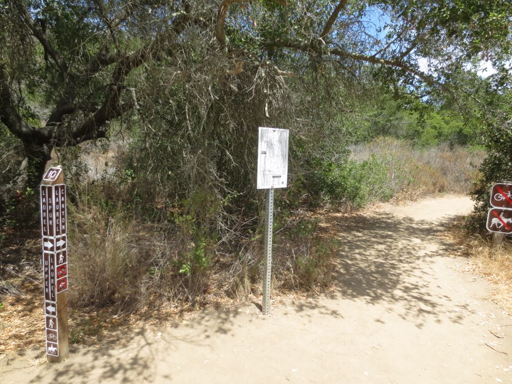
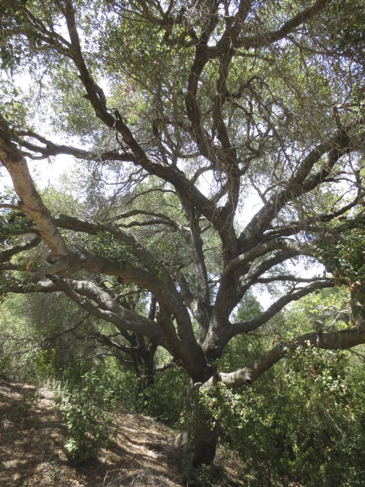
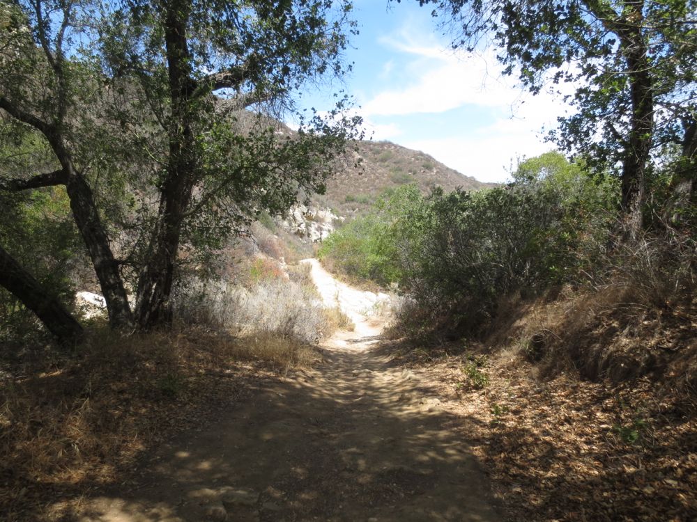
As you enter the canyon with its beautiful old growth oak trees, you will encounter two trail junctions that branch off to the left. The first of these is not signed, but the second is, and you will turn to the right at the second signed junction, following the sign for Laurel Canyon.
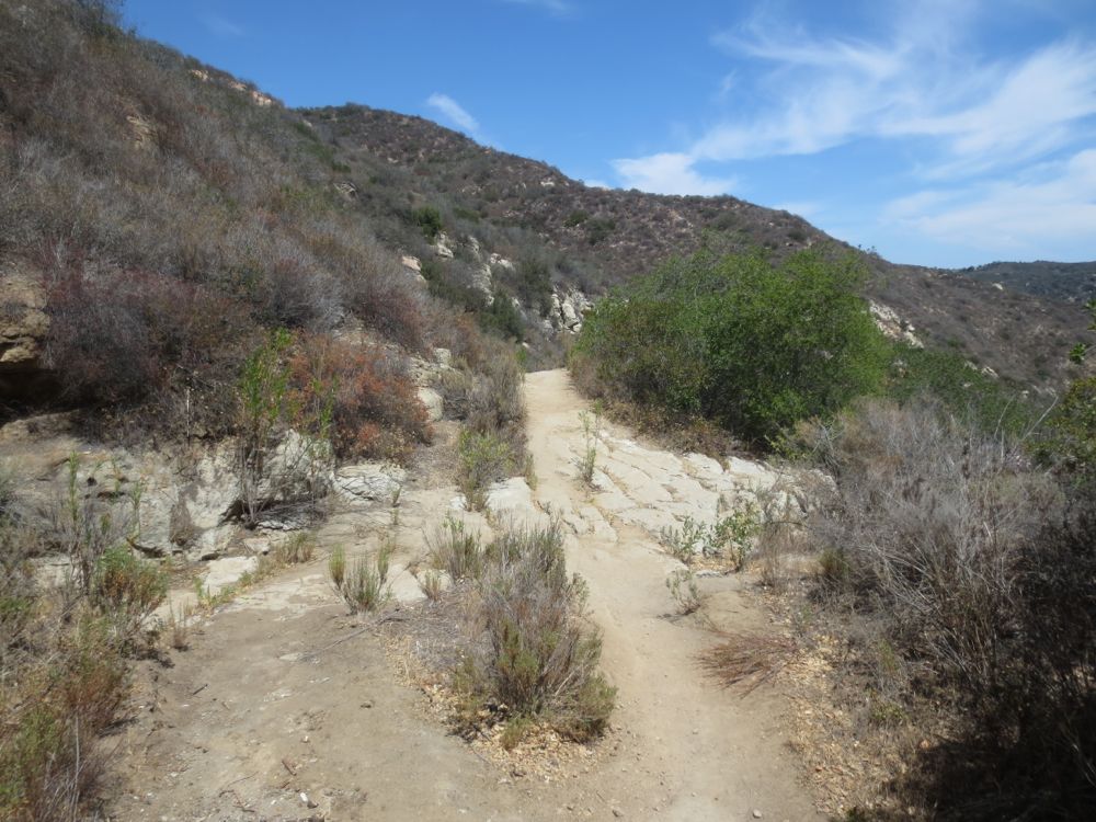
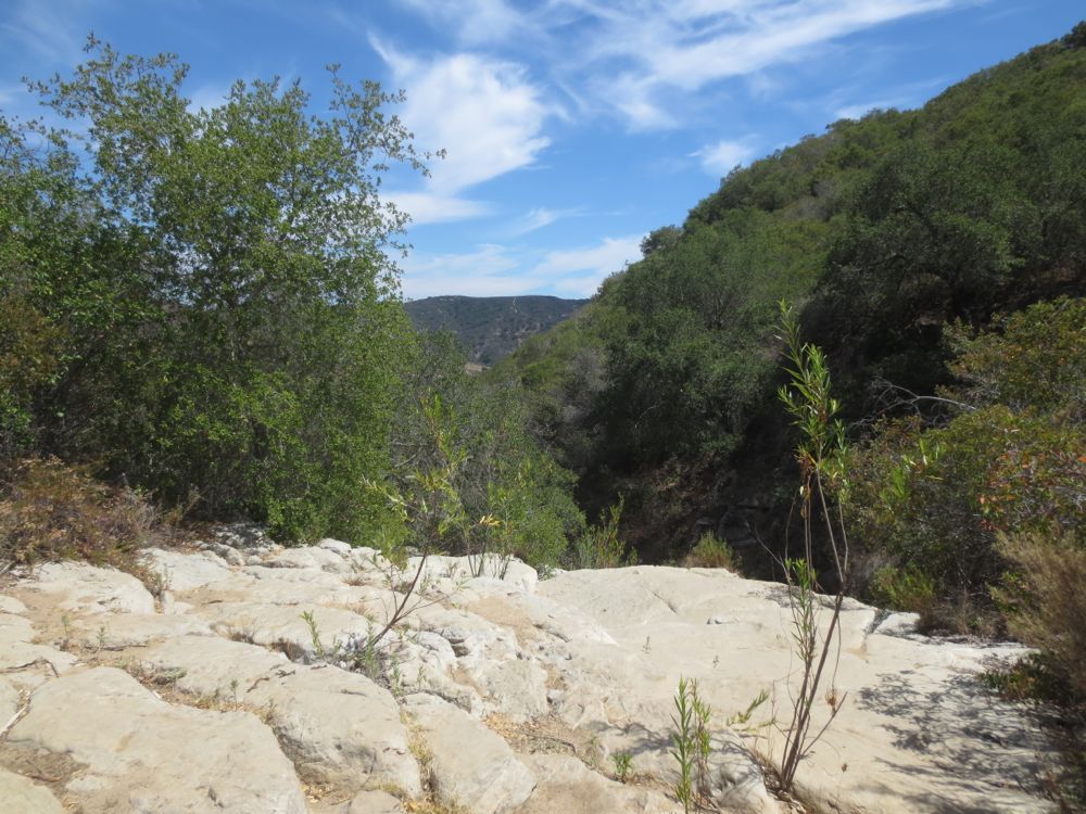
The trail up to now has been a rather wide fire road-like path, but here narrows and is more like a normal hiking trail. Proceed forward along above the Laurel Creek stream bed, which is quite lovely when flowing. After about .3 mile watch for a dip in the trail ahead as the trail crosses the creek at a granite outcrop.
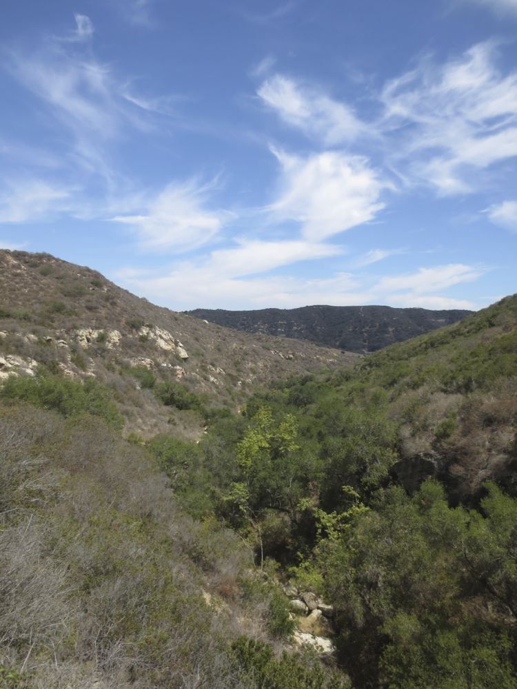
This is one of the highlights of your tour, most particularly if the water is flowing. If you look to the right here, you will note that the granite drops off dramatically, as the creek runs over a tall cliff, forming a 60′ tall waterfall with a large pool below. Be very careful here if you decide to go out to look over at the waterfall because it really is a straight vertical 60′ drop and a fall here would likely be fatal. Even if the fall is not flowing, this segment is dramatic because of you heightened elevation now as you peruse the scenic wooded canyon below. This is a good spot to take a break and perhaps enjoy your lunch as there are some nice pieces of granite on which to sit.
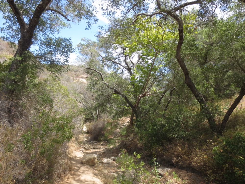
Once you have decided to continue, proceed ahead as the trail now drops quickly down to the canyon floor. This portion of the park is exceptionally lovely, and you will enjoy the wooded canyon bottom with its surprisingly large, boulder strewn stream bed, which you will cross a couple of times. When the stream is flowing this is truly a glorious place, an unspoiled riparian gem close to civilization.
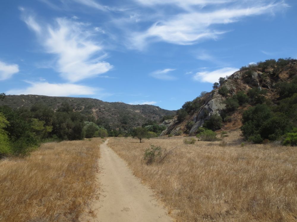
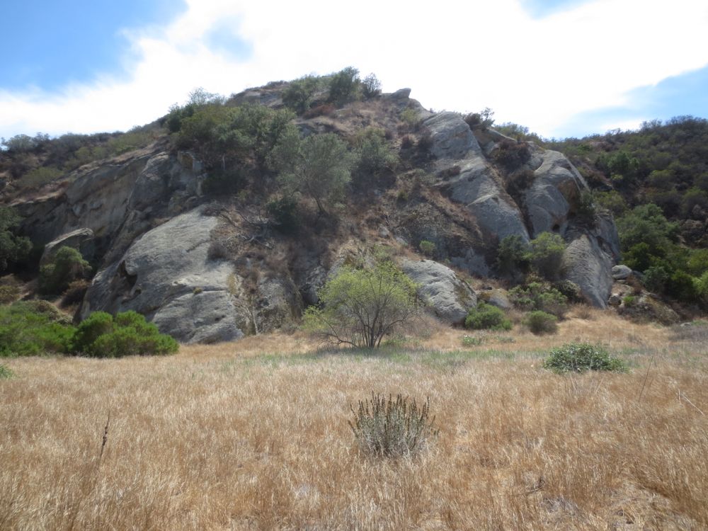
After a short distance the trail moves to the right side of the creek, and moves ahead across a large grassy meadow with some interesting sandstone formations on either side.
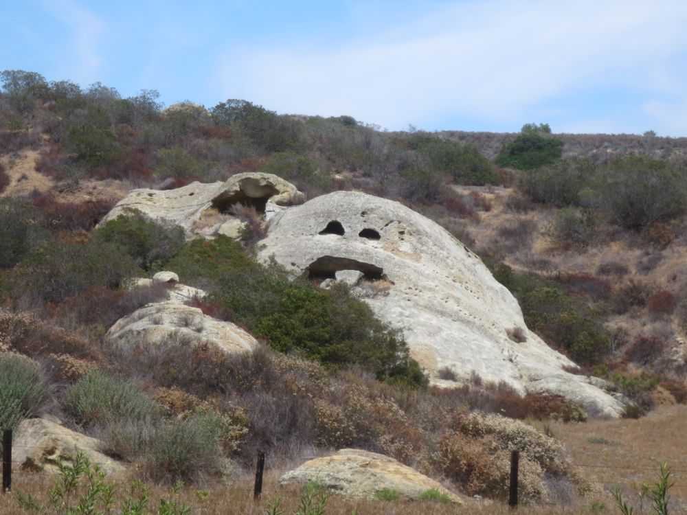
Note especially in the sandstone outcrops to the left what I like to call “Ghost-face-with-his-tongue-stuck-out Rock”, for what should be obvious reasons.
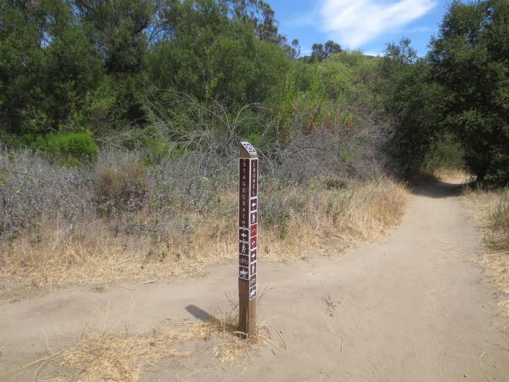
You will soon encounter another signed trail junction, your last, and you will now turn to the right following the signs for Laurel pointing to the right.
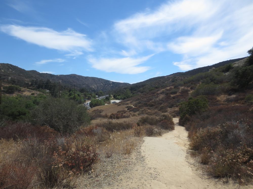
The trail now continues through some woods close to Laguna Canyon Road now, and the trail head is only about .25 mile ahead. You will encounter one uphill portion where the trail ascends over a sandstone segment, and then you will see the parking lot below. Descend, following the trail, until you reach the trail junction where you started your loop. now turn to the left and walk the short distance back to your vehicle.
