Sturtevant Falls Hike – Los Angeles
Summary for Sturtevant Falls Hike

Difficulty
Easy on good trail
Length
3.5 Miles Round Trip
time
1.5 Hours
Elevation Gain
650′
Summary
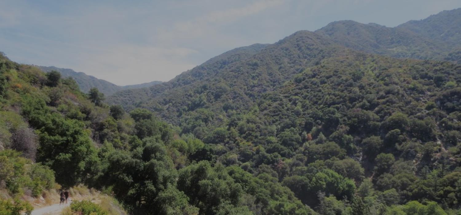
Easy hike, but very popular and often crowded, into gorgeous Santa Anita Canyon to lovely 40′ Sturtevant Falls.
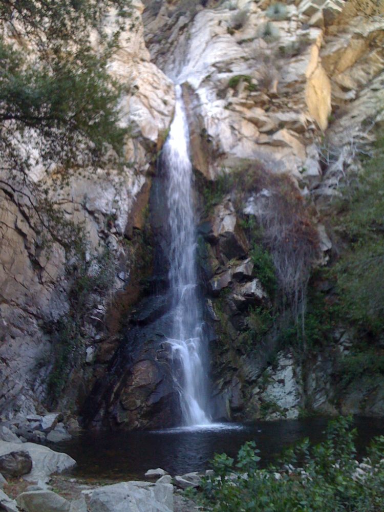
The trail head for Sturtevant Falls is accessed via the Chantry Flats area in Santa Anita Canyon, which is a very popular location in the San Gabriel front range. There are a number of other trails accessed from this location, the road is good and easily accessible from the LA basin , and the canyon and surrounding areas are strikingly beautiful. Given these factors, it’s not surprising that the parking lot is often full. Fortunately, parking is available on the road below the lot in areas that are not signed, and there is also additional parking for $5 in the pack station above the parking lot. Santa Anita Canyon has a long history of human occupation, which is understandable given its usually year round water flow and scenic wonders. This hike takes you from Chantry Flats down a road into the canyon, past picturesque private cabins along the stream, and then on trail up to the dramatic 40′ Sturtevant Falls. Note that water flow varies, and while this is one of the major front range streams, and as such is usually flowing, it may be just a trickle in drought years or late in summer. But the hike is always a good one, especially for beginners, and is a scenic and easy introduction to San Gabriel front range canyons.
Directions to Trailhead for Sturtevant Falls Hike

Detailed Description for Sturtevant Falls Hike
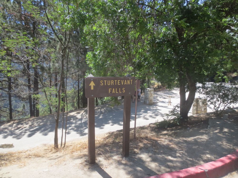
If you have parked in the Forest Service parking lot or on the road display your adventure pass – if you paid $5 and are in the pack station lot you don’t need to display your pass. Now walk to the signed trail head, and start down the asphalt road that leads into the canyon.
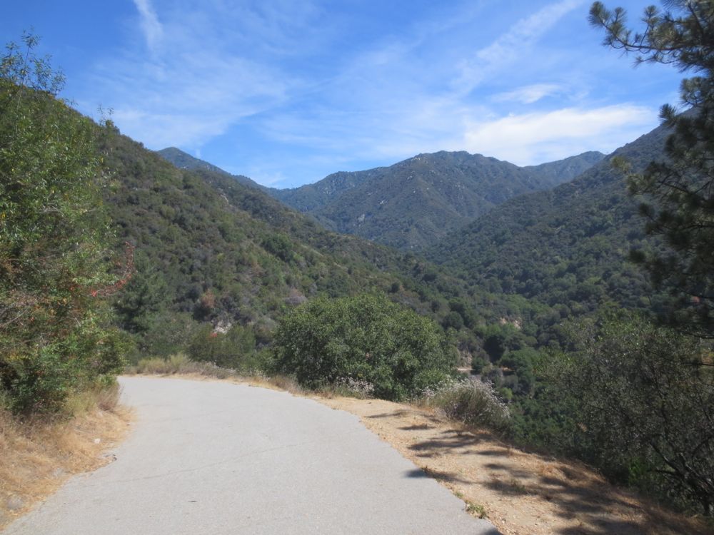
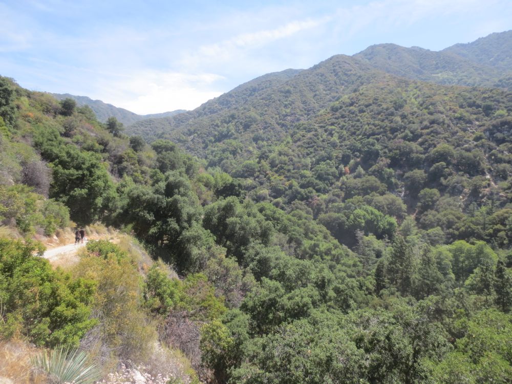
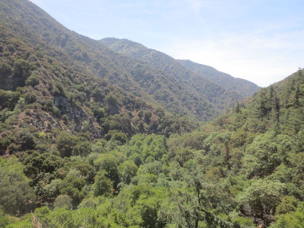
Simply follow the paved road down into the canyon, enjoying the great views along the way. This portion down onto the canyon is exposed, although there are a couple places prior to reaching the bottom where one can find shade.
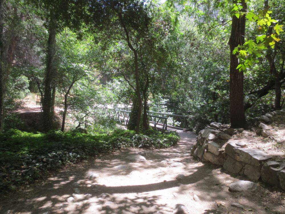
After about 0.6 mile you will reach Winter Creek, which is crossed by a small wooden bridge. Winter Creek normally has some water flowing, and in the winter a significant amount – since it drains a large area on the east flank of massive Mount Wilson. Note the trail junction here, from which you can take both the Lower Winter Creek and Upper Winter Creek trails, which can be used to form a loop hike. But for this hike continue on to the right past the bridge and along the stream into Santa Anita canyon.
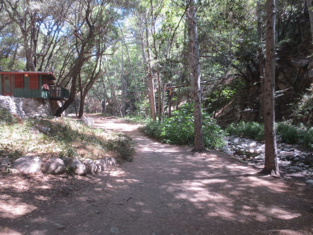
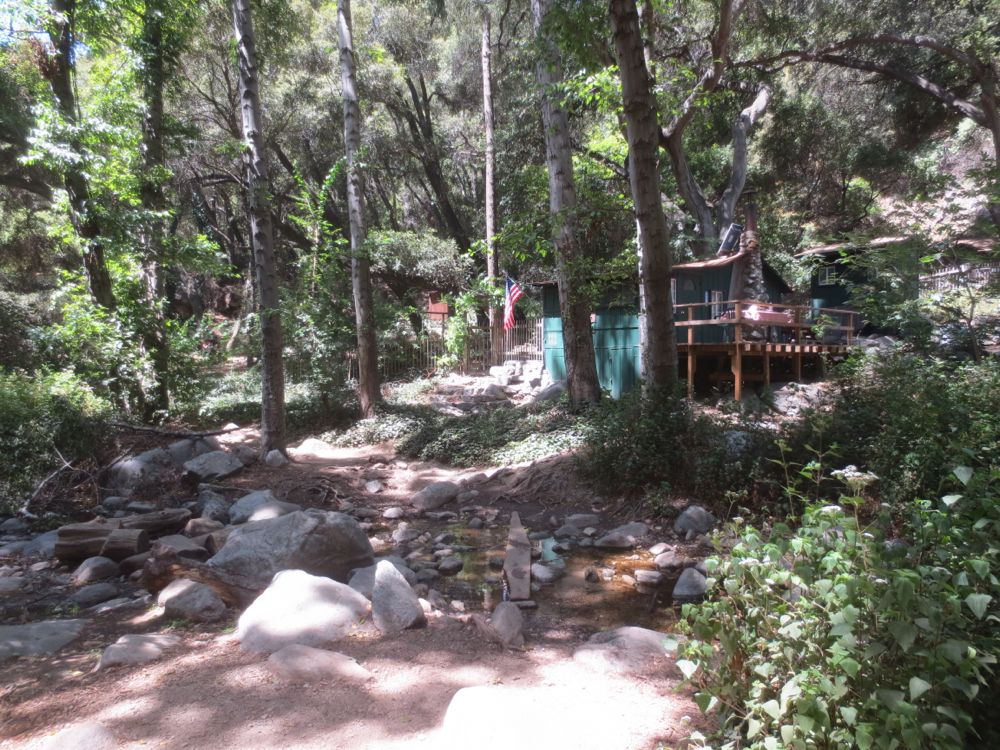
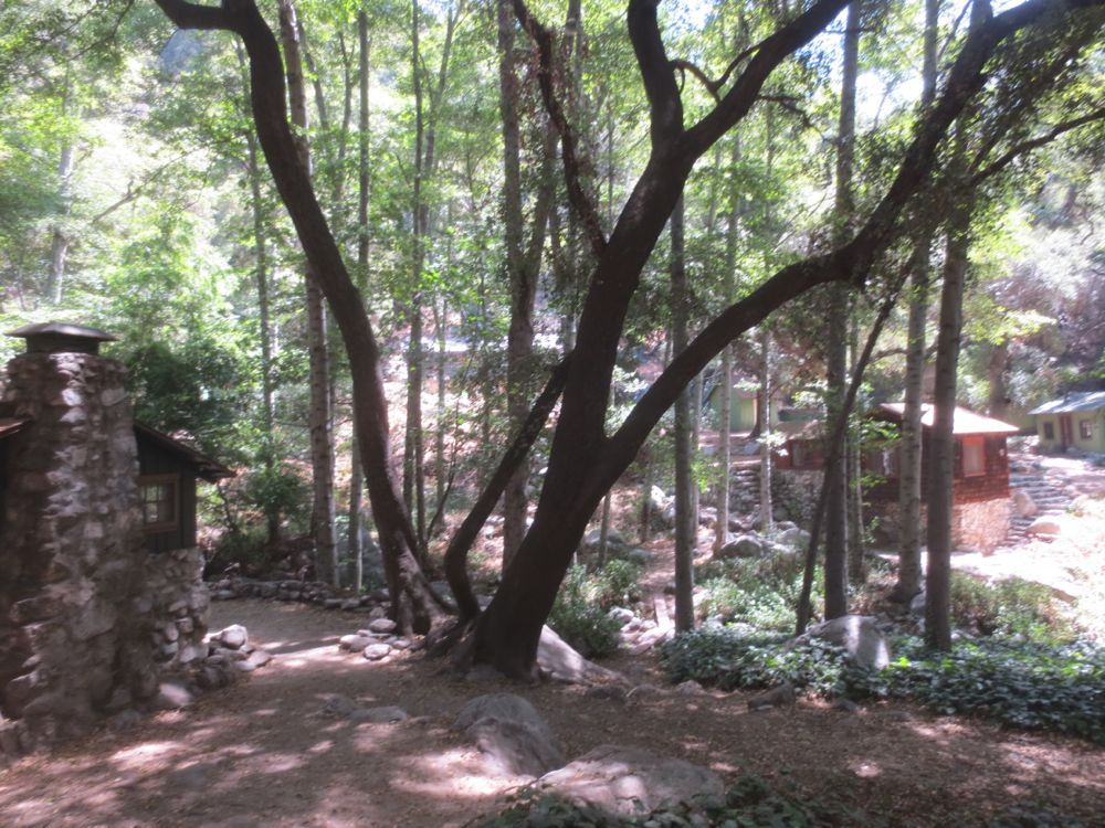
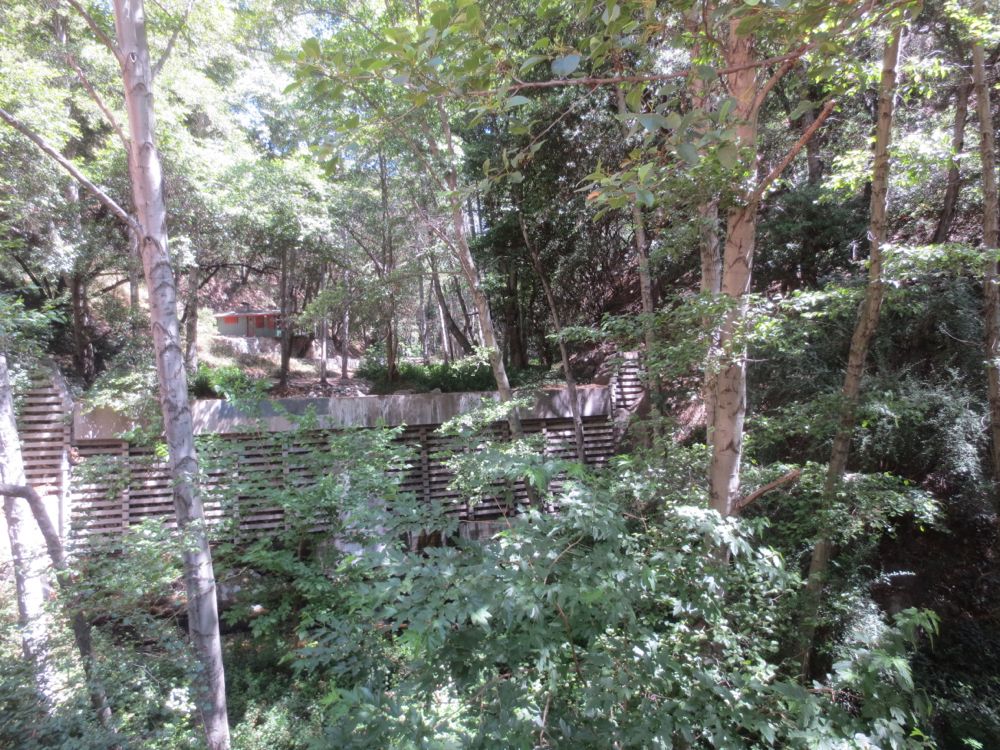
You will soon pass some private cabins, which were constructed from the 1890s through the 1930s, and line the creek for the next half mile or so. In addition, there are several large concrete check dams, which were common in this era in a well-intentioned but misguided attempt to stop the natural erosive effects of the stream.
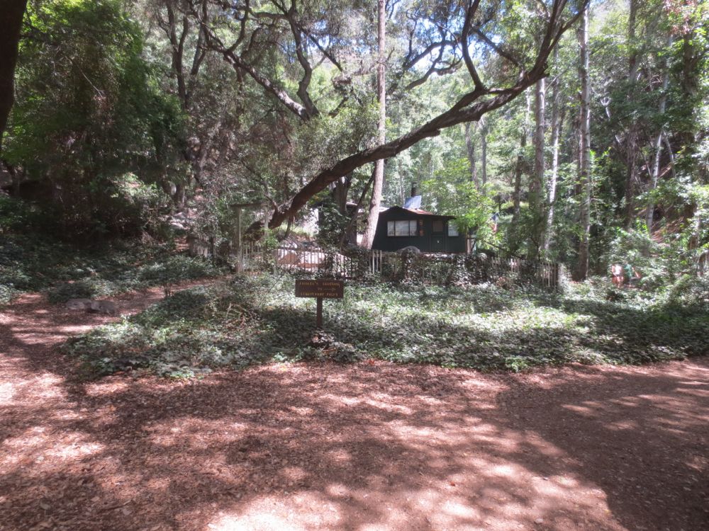
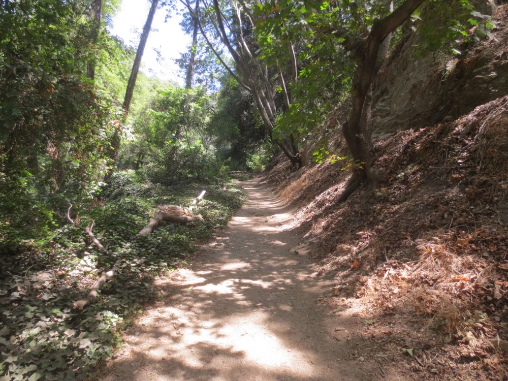
Continue along the trail through this lovely shaded canyon until you reach a trail junction. Here you can go up the famous and historical Gabrielino Trail to the left, or cross the stream to the right at the pleasantly named “Fiddler’s Crossing” – for our current hike go right across the stream.

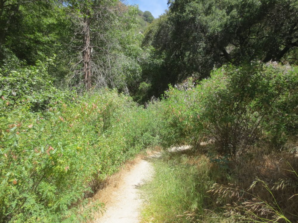
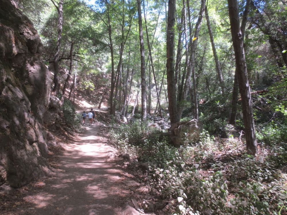
The trail narrows as you forge ahead into more natural terrain, with a few rocky segments and a stream crossing or two. After only about 1/4 miles you will encounter 40′ Sturtevant Falls, which is quite spectacular in times of high water flow, but is a lovely spot always. Now simply retrace your steps back to your car.

